Godwin-Austen Glacier
Also known as: K2 South Glacier
Glaciological Setting & Morphology
Flowing directly from the northeast and southeast shoulders of K2, the Godwin-Austen Glacier is the primary highway for climbers approaching K2 and Broad Peak Base Camps. It joins the Baltoro Glacier at the famous intersection of Concordia.
Documented Environmental & Terminus Trends
Stable tributary flow into Concordia; dynamic avalanche-fed mass input directly off K2's Abruzzi Spur and South Face.
Scientific Observations & Flow Dynamics
Geomorphological mapping indicates that the glacier relies almost entirely on catastrophic snow and ice avalanches originating from the 3,000m vertical relief of K2's colossal flanks, creating high concentration of supraglacial debris.
Surrounding Mountain Summits (2)
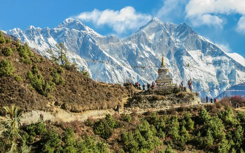


K2
K2, at 8,611 meters (28,251 ft), is the second-highest mountain on Earth and widely regarded as the most technically demanding and lethal 8,000-meter peak. Located in the heart of the Karakoram on the border between Pakistan and China, K2 is characterized by sheer relief, severe weather anomalies, and persistent objective hazards including the notorious Bottleneck couloir.
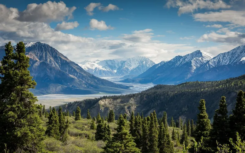
Broad Peak
Broad Peak, at 8,051 meters (26,414 ft), is the twelfth-highest mountain in the world. Located in the Karakoram directly across the Godwin-Austen Glacier from K2, it is famous for its 1.5-kilometre-long summit crest. First climbed in lightweight alpine style without supplemental oxygen or high-altitude porters in 1957 by an Austrian team.
Glacier Approach & Climbing Routes (1)
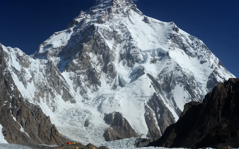
Abruzzi Spur (Southeast Ridge)
The Abruzzi Spur is the most famous and frequently climbed route on K2, tracing the mountain's steep southeast ridge from the Godwin-Austen Glacier to the summit. First explored in 1909 by Prince Luigi Amedeo, Duke of the Abruzzi, it was successfully climbed to the summit in 1954 by an Italian team. The route requires extreme physical endurance and high-grade technical climbing on rock, ice, and mixed terrain through legendary cruxes like House's Chimney, the Black Pyramid, and the Bottleneck couloir.
Documented Sources & Archival Citations
- Glacial geomorphology of the K2 basin and Concordia amphitheatre(Geomorphology)
Supporting claim: Avalanche mass balance quantification and debris transport dynamics
Accessed/Documented: 2026