Perito Moreno Glacier
Also known as: Glaciar Perito Moreno · Lago Argentino Ice Dam
Glaciological Setting & Morphology
Perito Moreno is one of the premier glaciological wonders of South America, terminating in a towering 70-metre-high wall of active calving ice on Lago Argentino. Fed by the Southern Patagonian Icefield, it has historically maintained near-steady equilibrium despite regional warming trends.
Documented Environmental & Terminus Trends
Dynamic equilibrium state characterized by recurring cyclical ice dams across the Brazo Rico of Lago Argentino followed by dramatic subglacial rupture events.
Scientific Observations & Flow Dynamics
Calving fluxes and ice velocity measurements via radar interferometry demonstrate continuous forward advance of approximately 2 metres per day at the terminus centerline, balancing iceberg discharge into Lake Argentino.
Surrounding Mountain Summits (2)
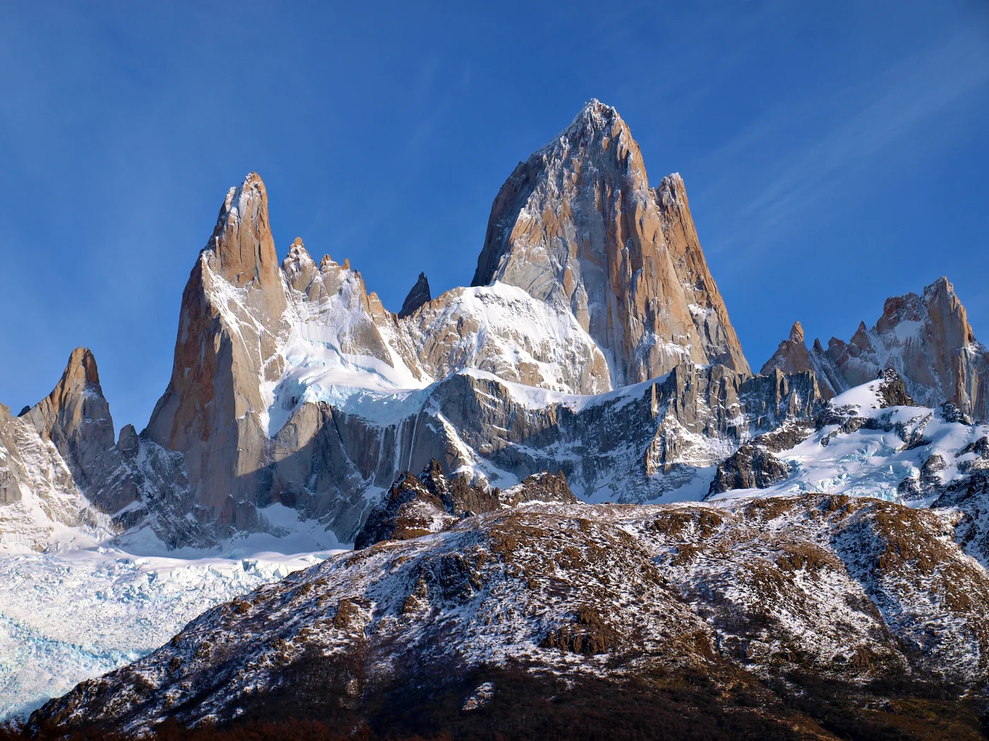


Cerro Fitz Roy
Cerro Fitz Roy, also known as Monte Fitz Roy or Cerro Chaltén at 3,405 meters (11,171 ft), is a world-renowned granite monolith situated in the Southern Patagonian Icefield near El Chaltén, Argentina. Revered for its vertical granite walls and notorious hurricane-force Patagonian storms, it is considered one of the most technically demanding alpine summits on Earth. French climbers Lionel Terray and Guido Magnone completed the legendary first ascent on February 2, 1952, establishing the historic Franco-Argentine Route.
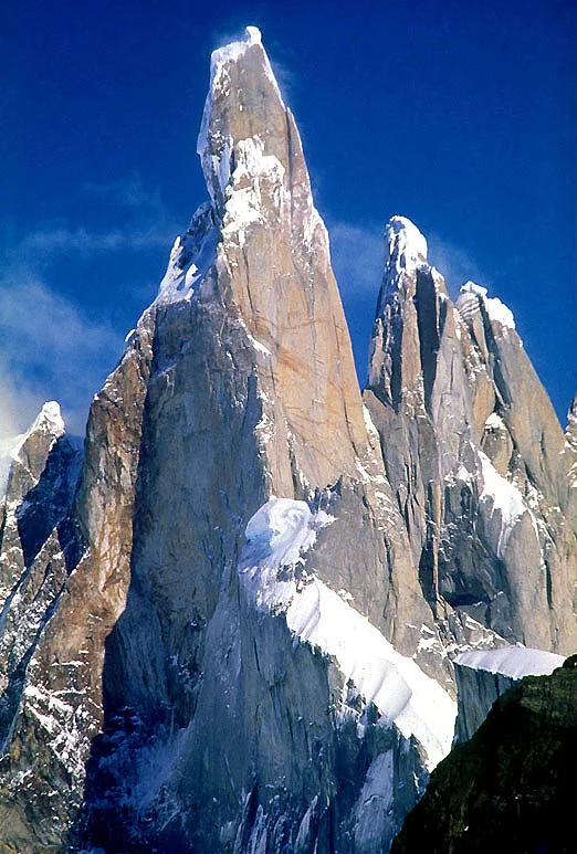
Cerro Torre
Cerro Torre is a world-famous granite spire rising to 3,128 meters in the Southern Patagonian Icefield on the Argentina-Chile border. Renowned for vertical sheer granite walls topped by monstrous rime-ice mushrooms formed by relentless Pacific winds, it is widely considered one of mountaineering's supreme technical challenges. Following fierce international debate over Cesare Maestri's disputed 1959 climb, Maestri returned in 1970 to drill hundreds of bolts using a gasoline compressor on the Southeast Ridge. In 1979, American pioneers Jim Bridwell and Steve Brewer completed the historic first definitive ascent of the Compressor Route to the summit.
Documented Sources & Archival Citations
- Frontal fluctuations and dynamic equilibrium of Glaciar Perito Moreno(Journal of South American Earth Sciences)
Supporting claim: Rupture cycle periodicity and ice velocity measurements
Accessed/Documented: 2026