Kinshofer Route (Diamir Face)
Mountain Safety & Conditions Disclaimer: High-altitude climbing, glacial travel, and technical ascents entail severe objective risks including avalanches, serac collapses, rapid weather collapse, and altitude illness. Historical route descriptions and summit claims on Mountanity reflect documented archival sources and must not be used as live operational safety assessments. Local regulations, permits, and physical glacial topography change continuously.
Route Description & Profile
The standard line of ascent up Nanga Parbat's western flank. The technical crux occurs early between Camp I and Camp II on the steep, ice-glazed Kinshofer Wall (6,000m), followed by long traverses across the upper glacier basins to the summit shoulder.
Tactical & Camp Notes
Requires sustained physical stamina through the Kinshofer Couloir which is prone to heavy afternoon stonefall once sunlight hits the upper face.
Identified Objective Hazards
- •Lethal afternoon rockfall through the lower couloir
- •Sweeping ice avalanches from hanging seracs above Camp II
- •Severe altitude exposure and frostbite in the high Bazhin Basin
Historical Context
Pioneered in 1962 by Toni Kinshofer, Anderl Mannhardt, and Siegfried Löw on the second ascent of Nanga Parbat.
Mountain Ascended
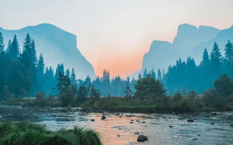

Nanga Parbat
Nanga Parbat, at 8,126 meters (26,660 ft), is the ninth-highest mountain on Earth and the western anchor of the Himalayas in Pakistan. It boasts the Rupal Face, the highest vertical precipice in the world at 4,600 meters from valley floor to summit. Known for profound climbing history, highlighted by Hermann Buhl's legendary solo summit without supplemental oxygen in 1953.
Documented Sources & Archival Citations
- Nanga Parbat: The Mountain of Destiny(Fritz Bechtold)
Supporting claim: Diamir Face historical climbing topography
Accessed/Documented: 1935