Pumori Southeast Ridge
The Southeast Ridge is the classic normal route up Pumori (7,161m), rising steeply from the Pumori Base Camp near Gorak Shep to the sharp pyramid summit. The route ascends moraines to an advanced camp, tackles a steep rock rib and glacier headwall to Camp II, and negotiates sustained 50-degree ice slopes and intricate crevasses guarding the final shoulder and summit crest.
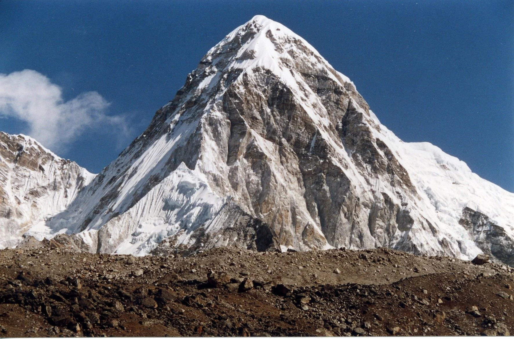
Ascent line, technical cruxes & camp topography profile for Pumori Southeast Ridge
Mountain Safety & Conditions Disclaimer: High-altitude climbing, glacial travel, and technical ascents entail severe objective risks including avalanches, serac collapses, rapid weather collapse, and altitude illness. Historical route descriptions and summit claims on Mountanity reflect documented archival sources and must not be used as live operational safety assessments. Local regulations, permits, and physical glacial topography change continuously.
Peer Review: Senior Editorial Board & Historical Reviewers • Editorial Standards
Tactical & Camp Notes
Requires thorough acclimatization in the Khumbu region, precise ice axe and crampon technique on sustained 50-degree slopes, careful timing to avoid warm-afternoon serac hazard zones, and strong fixed-rope management.
Identified Objective Hazards
- •Hanging serac barriers between Camp I and Camp II prone to spontaneous collapse
- •High-altitude sickness and pulmonary edema on rapid ascent schedules
- •Violent windstorms sweeping over the open pyramid ridge directly from Tibet
- •Hidden glacial crevasses and fragile wind slabs on the upper snow apron
Historical Context
First climbed in May 1962 by Gerhard Lenser during a German-Swiss expedition, the Southeast Ridge has served as the definitive normal route for six decades.
Interactive Elevation Profile
Vertical profile, technical cruxes, and camp staging progression for Pumori Southeast Ridge on Pumori.
Situated on the moraine above Gorak Shep with direct views of Mount Everest.
Camp-by-Camp Topography
Key staging altitudes, technical cruxes, and terrain transitions for Pumori Southeast Ridge.
Pumori Base Camp
Situated on the moraine above Gorak Shep with direct views of Mount Everest.
Camp I / Ridge Saddle
Established on the prominent rock and scree shoulder of the lower Southeast Ridge.
Camp II / Upper Snow Shoulder
High snow terrace placed beneath the steep glacial headwall.
Camp III / Col Bivouac
Assault camp tucked into a wind-sheltered depression below the final pyramid face.
Pumori Summit
The narrow pointed snow crest offering an unrivaled 360-degree panorama of Mount Everest, Lhotse, and Cho Oyu.
Topographic Location & Terrain Map
Cartographic datum, massif coordinates, and terrain context for Pumori Southeast Ridge on Pumori.
Interactive Topographic Terrain Map
Click below to load live cartographic contours, glacier approaches, and geographic markers for Pumori (28°00′53″ N, 86°49′40″ E).
Key Statistics & Topographic Figures
- Route Type
- Glaciated Alpine Ridge and Snow Face
Topography
- Technical Difficulty
- Challenging High-Altitude Alpine / Grade IV, 55-degree snow/ice, serac hazards
Grade IV, steep snow and blue ice up to 55 degrees, mixed rock steps up to UIAA IV, altitude to 7,161m
- Country / Region
- Nepal (Khumbu / Mahalangur Himal)
Location
Archival Primary Source Quotations
“A mountain route is not merely a path of rock and ice; it is a test of human endurance, judgment, and humility.”
Defined Alpine Terminology & Concepts
- Crux
- The most difficult and technically demanding pitch or section of a climbing route.
- Normal Route (Voie Normale)
- The most frequently climbed, least technical, and historically standard path to a mountain summit.
Frequently Asked Questions: Pumori Southeast Ridge
What is the climbing difficulty and grade of Pumori Southeast Ridge?
Pumori Southeast Ridge on pumori is graded as Challenging High-Altitude Alpine / Grade IV, 55-degree snow/ice, serac hazards, with technical climbing requirements including Grade IV, steep snow and blue ice up to 55 degrees, mixed rock steps up to UIAA IV, altitude to 7,161m.
What are the primary hazards on the Pumori Southeast Ridge?
Climbers on Pumori Southeast Ridge must navigate severe objective hazards including Hanging serac barriers between Camp I and Camp II prone to spontaneous collapse, High-altitude sickness and pulmonary edema on rapid ascent schedules, Violent windstorms sweeping over the open pyramid ridge directly from Tibet, Hidden glacial crevasses and fragile wind slabs on the upper snow apron.
What camps are established on Pumori Southeast Ridge?
Pumori Southeast Ridge typically features 5 staging camps, progressing from Pumori Base Camp (5300m) up toward the summit.
Mountain Ascended
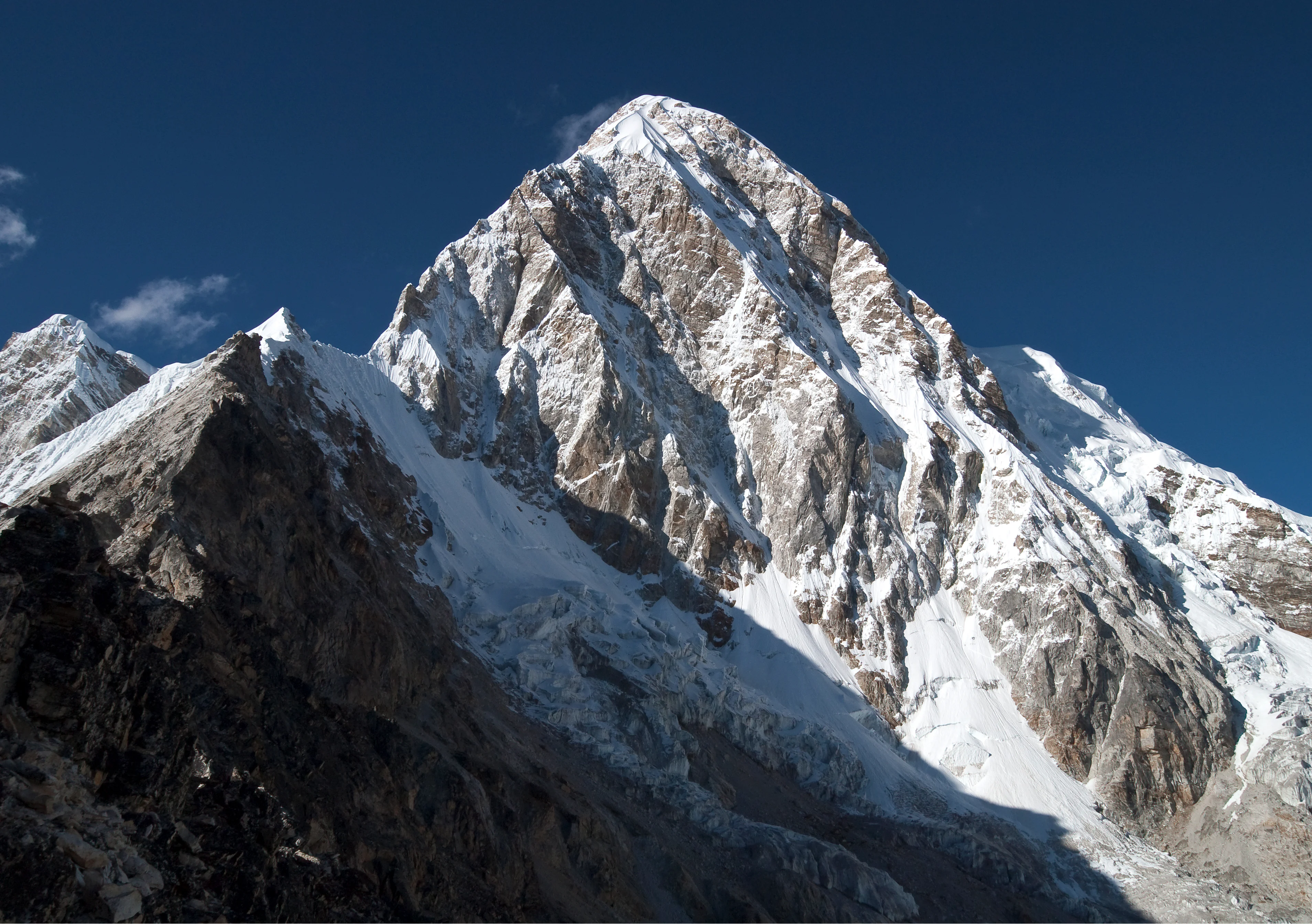


Pumori
Pumori is a majestic 7,161-meter pyramidal mountain in the Mahalangur section of the Himalayas, rising eight kilometers west of Mount Everest on the international border between Nepal and Tibet. George Mallory bestowed its name, which translates in the Sherpa language to 'Mountain Daughter' or 'Unmarried Daughter', honoring its geographic proximity to Everest. Standing directly opposite Kala Patthar and Gorak Shep, Pumori presents an iconic triangular spire of ice and granite that dominates the upper Khumbu Valley. The summit was first reached on May 17, 1962, by German alpinist Gerhard Lenser as part of a German-Swiss expedition via the Southeast Ridge.
Documented Sources & Archival Citations
- Himalayan Mountaineering Expedition Guide(Nepal Mountaineering Association (NMA))
Supporting claim: Official route description, safety protocols, and camp elevations for Pumori
Accessed/Documented: 2024 - Himalayan Database: Pumori Route Archives(Elizabeth Hawley / Himalayan Database)
Supporting claim: Chronological expedition records and historical success statistics on the Southeast Ridge
Accessed/Documented: 2024