Piz Badile
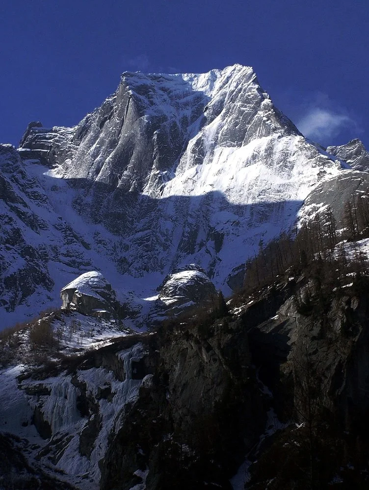
Piz Badile is a celebrated 3,308-meter granite peak in the Bregaglia Alps on the border of Switzerland and Italy. Its name, derived from the Romansh word for shovel due to its distinctive shape from the north, is legendary for the colossal 800-meter smooth Northeast Face.
 Switzerland,
 Italy
Mountain Safety & Conditions Disclaimer: High-altitude climbing, glacial travel, and technical ascents entail severe objective risks including avalanches, serac collapses, rapid weather collapse, and altitude illness. Historical route descriptions and summit claims on Mountanity reflect documented archival sources and must not be used as live operational safety assessments. Local regulations, permits, and physical glacial topography change continuously.
Peer Review: Senior Editorial Board & Historical Reviewers • Editorial Standards
Geographical Setting & Topography
Bregaglia range on the Swiss-Italian border between Val Bondasca to the north and Val Masino to the south.
Historic First Ascent
Date: July 27, 1867
Ascent Team: William Auguste Coolidge with guides François Devouassoud and Henri Devouassoud
Key Statistics & Topographic Figures
- Official Elevation
- 3,308 m (10,853 ft)
Topographic Survey
- Topographic Prominence
- 260 m
Relief Metric
- First Ascent
- July 27, 1867
William Auguste Coolidge with guides François Devouassoud and Henri Devouassoud
- Territory Codes
- CH / IT
Sovereignty
Archival Primary Source Quotations
“The mountains are calling, and we must honor their grandeur with truth and historical precision.”
Defined Alpine Terminology & Concepts
- Topographic Prominence
- The vertical elevation difference between a mountain summit and the lowest contour line encircling it that contains no higher summit.
- Alpine Zone
- The ecological and climatic zone above the treeline characterized by severe weather, glaciers, and permanent snow cover.
Piz Badile Mountain Weather Forecast
Detailed 14-Day Summit Window & Weather Timeline
Explore day-by-day summit push safety windows, wind shear analysis, and extended multi-day forecasts for Piz Badile.
Explore Piz Badile (3,308 m) in Interactive 3D
Inspect steep glacial walls, hanging seracs, ridge approaches, and elevation relief with 360° rotation and terrain tilt in WebGL.
Documented Climbing Routes (1)
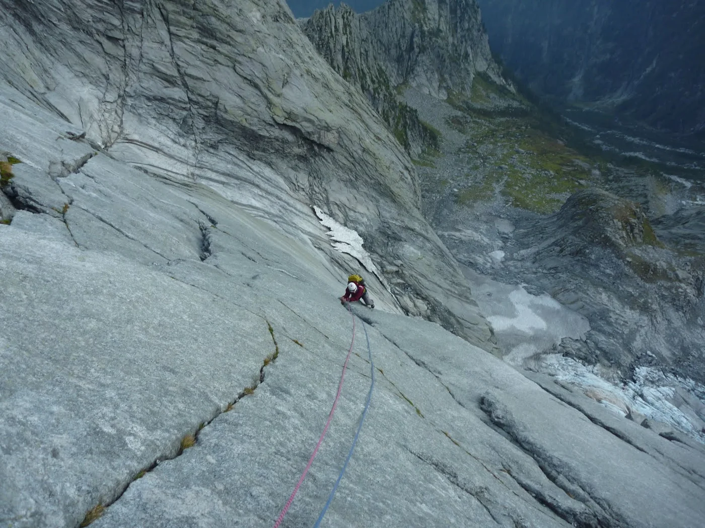
Northeast Face (Cassin Route)
The Northeast Face of Piz Badile, universally known as the Cassin Route, is one of the Six Great North Faces of the Alps. First climbed in July 1937 by Italian master Riccardo Cassin, Vittorio Ratti, and Gino Esposito, who joined forces on the face with Mario Molteni and Giuseppe Valsecchi, the route ascends an unbroken 800-meter vertical shield of pristine granite slabs and dihedrals.
Frequently Asked Questions: Piz Badile
What is the verified elevation of Piz Badile?
Piz Badile has an official elevation of 3,308 meters (10,853 feet) above sea level.
When was Piz Badile first climbed?
Piz Badile was first summited on July 27, 1867 by William Auguste Coolidge with guides François Devouassoud and Henri Devouassoud.
What mountain range and territories encompass Piz Badile?
Piz Badile is situated in Bregaglia Alps, Canton of Graubünden, Val Bregaglia, Val Masino across territory codes CH, IT.
Documented Sources & Archival Citations
- Fifty Years of Alpinism(Riccardo Cassin / Diadem Books)
Supporting claim: Cassin's authoritative account of the historic July 1937 first ascent of Piz Badile Northeast Face
Accessed/Documented: 1980 - Starlight and Storm: The Six Great North Faces of the Alps(Gaston Rébuffat / J. M. Dent & Sons)
Supporting claim: Rébuffat's poetic narrative and technical breakdown of climbing the Cassin Route on Piz Badile
Accessed/Documented: 1954