Mount Siguniang
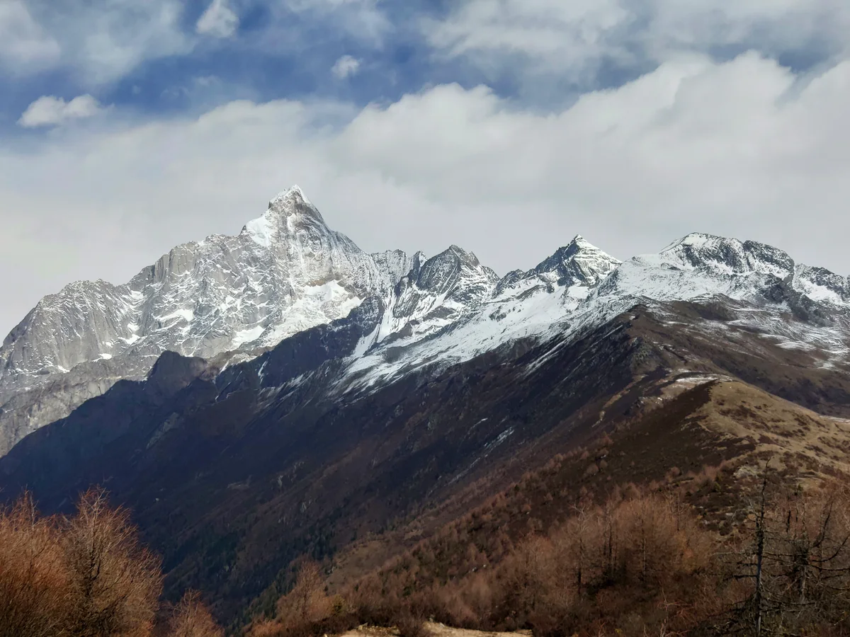
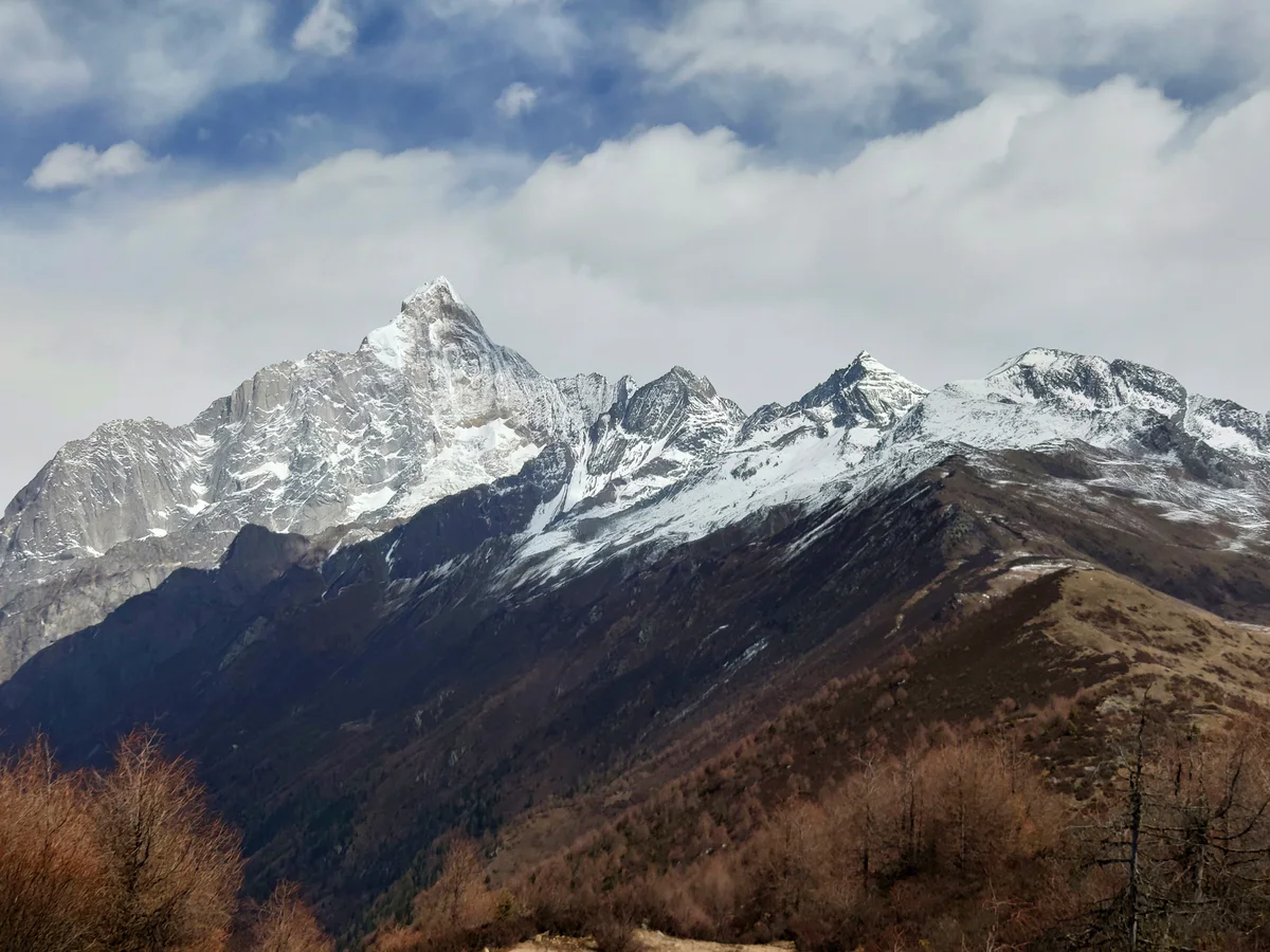
Mount Siguniang, specifically its highest fourth summit known as Yaomei Feng at 6,250 meters (20,505 ft), is a dramatic technical granite spire in the Qionglai Mountains of Sichuan, China. Revered by local Tibetan communities as a sacred goddess and often hailed as the Matterhorn of the East, its soaring granite buttresses and steep ice runnels present world-class alpine climbing challenges.
 China
Mountain Safety & Conditions Disclaimer: High-altitude climbing, glacial travel, and technical ascents entail severe objective risks including avalanches, serac collapses, rapid weather collapse, and altitude illness. Historical route descriptions and summit claims on Mountanity reflect documented archival sources and must not be used as live operational safety assessments. Local regulations, permits, and physical glacial topography change continuously.
Peer Review: Senior Editorial Board & Historical Reviewers • Editorial Standards
Geographical Setting & Topography
Situated in Mount Siguniang National Park, about 220 kilometers west of Chengdu in Western Sichuan.
Historic First Ascent
Date: July 28, 1981
Ascent Team: Takashi Shasahara and Junpei Yaguhashi (Japanese Doshisha University Expedition)
Key Statistics & Topographic Figures
- Official Elevation
- 6,250 m (20,505 ft)
Topographic Survey
- Topographic Prominence
- 2,571 m
Relief Metric
- First Ascent
- July 28, 1981
Takashi Shasahara and Junpei Yaguhashi (Japanese Doshisha University Expedition)
- Territory Codes
- CN
Sovereignty
Archival Primary Source Quotations
“The mountains are calling, and we must honor their grandeur with truth and historical precision.”
Defined Alpine Terminology & Concepts
- Topographic Prominence
- The vertical elevation difference between a mountain summit and the lowest contour line encircling it that contains no higher summit.
- Alpine Zone
- The ecological and climatic zone above the treeline characterized by severe weather, glaciers, and permanent snow cover.
Mount Siguniang Mountain Weather Forecast
Detailed 14-Day Summit Window & Weather Timeline
Explore day-by-day summit push safety windows, wind shear analysis, and extended multi-day forecasts for Mount Siguniang.
Explore Mount Siguniang (6,250 m) in Interactive 3D
Inspect steep glacial walls, hanging seracs, ridge approaches, and elevation relief with 360° rotation and terrain tilt in WebGL.
Documented Climbing Routes (1)
Northwest Face (The Inside Line)
The Northwest Face of Mount Siguniang (Yaomei Feng) is a soaring 1,500-metre wall of sheer granite split by narrow ice gullies and hanging snowfields. Conquered in pure alpine style over six days in April 2002 by British alpinists Mick Fowler and Paul Ramsden, the route features continuous technical mixed pitches up to M6 and vertical ice up to AI6, earning the inaugural Piolet d'Or in 2003 as a masterpiece of modern lightweight climbing.
Historical Expeditions (1)
2002 Mick Fowler & Paul Ramsden Siguniang Northwest Face First Ascent
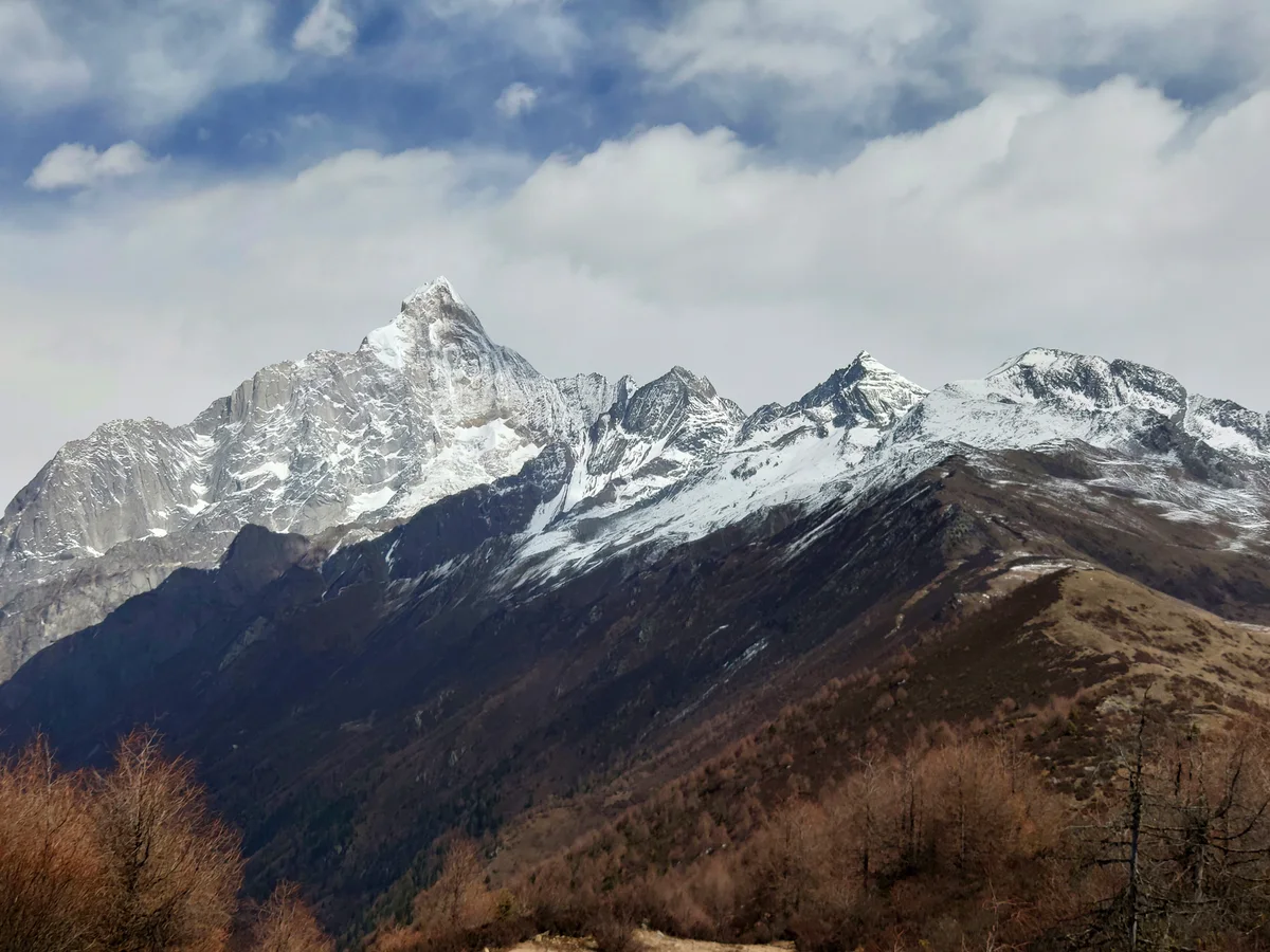
In April 2002, British mountaineering partners Mick Fowler and Paul Ramsden completed the historic first ascent of the 1,500-metre Northwest Face of Mount Siguniang (6,250m) in Sichuan, China, climbing alpine style over seven days to win the prestigious 2002 Piolet d'Or.
Summit Chronicles & Stories (1)
The Inside Line: Mick Fowler & Paul Ramsden on Mount Siguniang
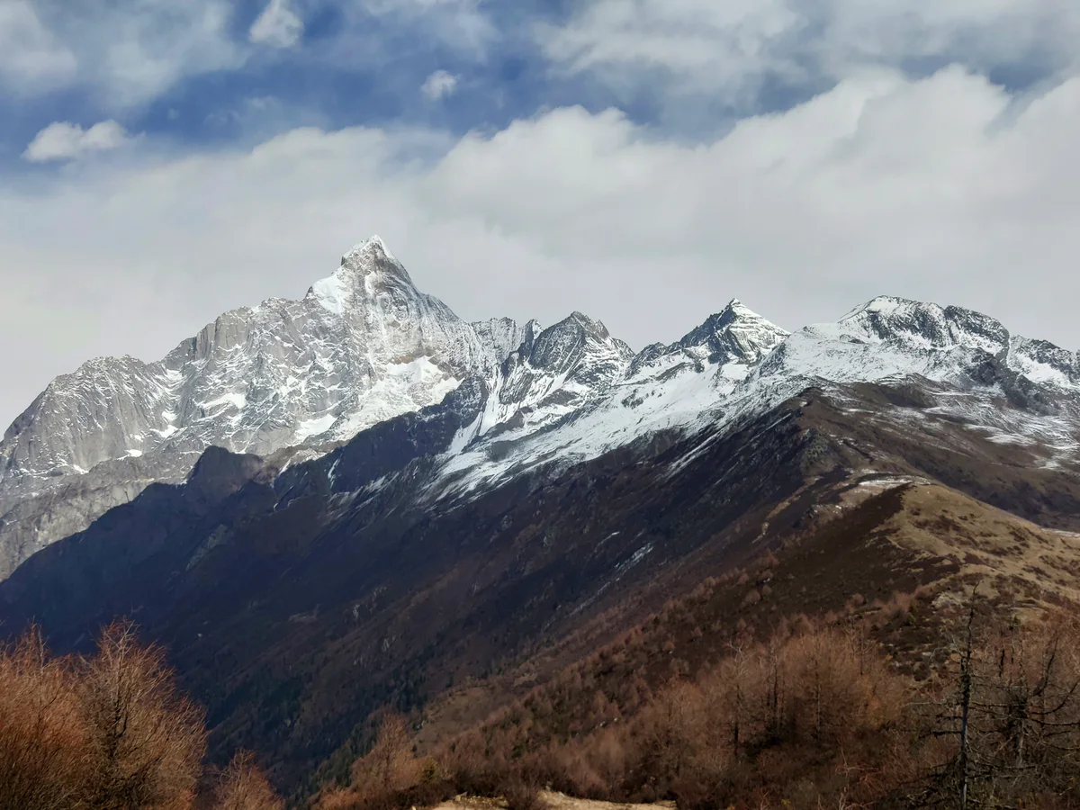
In April 2002, British alpinists Mick Fowler and Paul Ramsden scaled the sheer 1,500m Northwest Face of Mount Siguniang in pure alpine style, winning the Piolet d'Or.
Frequently Asked Questions: Mount Siguniang
What is the verified elevation of Mount Siguniang?
Mount Siguniang has an official elevation of 6,250 meters (20,505 feet) above sea level.
When was Mount Siguniang first climbed?
Mount Siguniang was first summited on July 28, 1981 by Takashi Shasahara and Junpei Yaguhashi (Japanese Doshisha University Expedition).
What mountain range and territories encompass Mount Siguniang?
Mount Siguniang is situated in Sichuan Province, Ngawa Tibetan and Qiang Autonomous Prefecture, Xiaojin County across territory codes CN.
Documented Sources & Archival Citations
- American Alpine Journal: Mount Siguniang, Northwest Face(Paul Ramsden / American Alpine Club)
Supporting claim: Official technical report of Fowler and Ramsden's 2002 inaugural Piolet d'Or winning ascent
Accessed/Documented: 2003 - On the Edge: The Autobiography of Mick Fowler(Mick Fowler / Vertebrate Publishing)
Supporting claim: Detailed narrative of the Siguniang expedition, couloir cruxes, and descent
Accessed/Documented: 2005