Sentinel Range
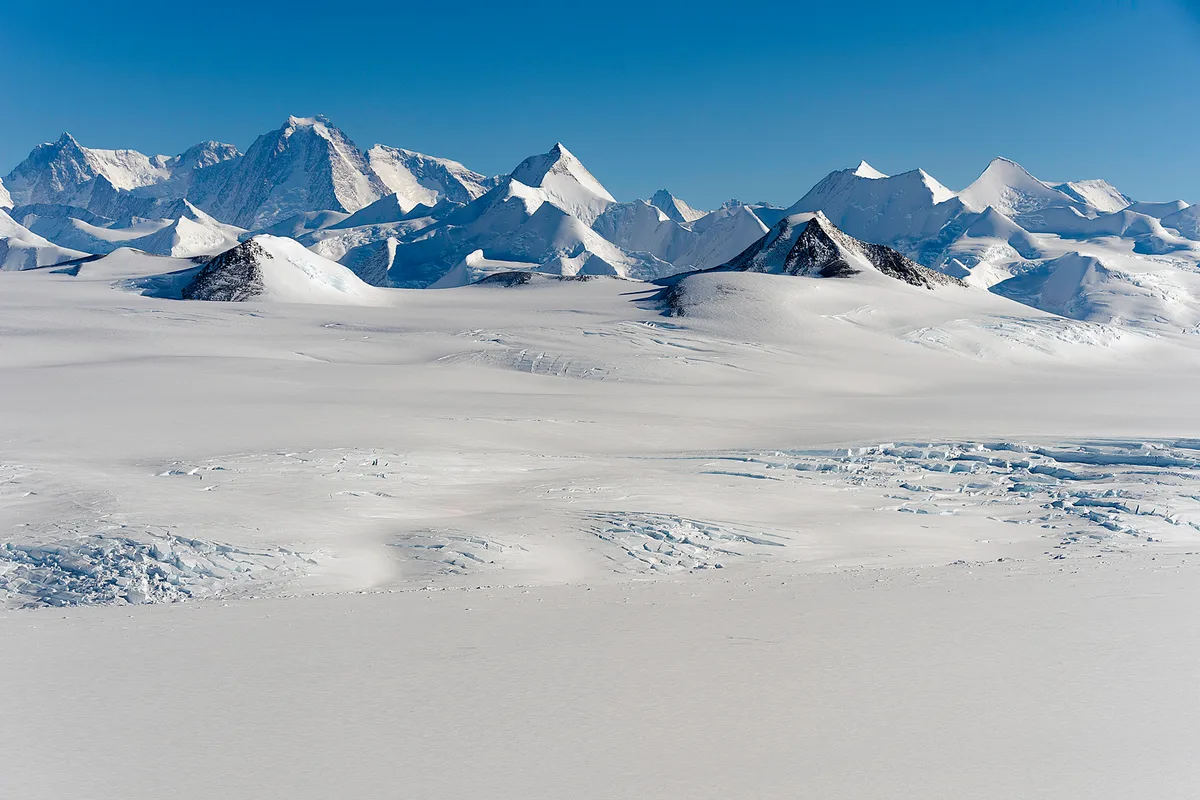
The Sentinel Range forms the majestic northern portion of the Ellsworth Mountains in West Antarctica. Overlooking the Ronne Ice Shelf, this glaciated polar range contains Antarctica's highest summits, including Mount Vinson (4,892 m) and the vertical rock ramparts of Mount Tyree (4,852 m). Discovered by Lincoln Ellsworth in 1935, the range is known for severe polar cold, katabatic storms, and pristine sub-zero glacier basins.
Peer Review: Senior Editorial Board & Historical Reviewers • Editorial Standards
Key Statistics & Topographic Figures
- Archive Classification
- RANGES
Mountanity Knowledge Corpus
- Verification Status
- Editorially Verified
Archival Standards
- Citation Standard
- Primary Source Verified
Alpine Research Desk
Archival Primary Source Quotations
“Great things are done when men and mountains meet; this is not done by jostling in the street.”
Defined Alpine Terminology & Concepts
- Archival Integrity
- The standard of verifying historical mountain facts, summit claims, and altitudes using primary expeditions journals and geodetic measurements.
Frequently Asked Questions: Sentinel Range
What historical significance does this range hold?
Sentinel Range represents an essential chapter in global mountaineering heritage, verified through contemporary expedition journals and archival sources.
How are the facts and records for Sentinel Range verified?
All records are checked against peer-reviewed journals, national alpine clubs, geodetic surveys, and the Mountanity Archival Integrity Policy.
Documented Peaks in Sentinel Range
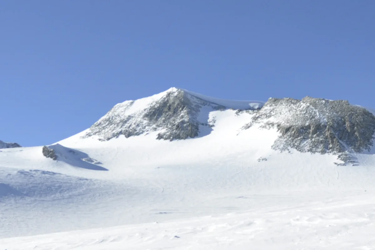

Mount Vinson / Vinson Massif
Mount Vinson is the highest peak in Antarctica at 4,892 metres (16,050 ft), situated in the Sentinel Range of the Ellsworth Mountains approximately 1,200 kilometres from the South Pole. As the summit of Antarctica, it forms one of the celebrated Seven Summits. First sighted by a US Navy aircraft in January 1958 and named after Georgia congressman Carl Vinson, the peak was conquered on December 18, 1966, by a team led by Nicholas Clinch and Barry Corbet during the historic American Antarctic Mountaineering Expedition. While technically moderate via the Branscomb Glacier, climbing Mount Vinson demands extreme endurance against temperatures plunging to -40°C and ferocious katabatic blizzards.
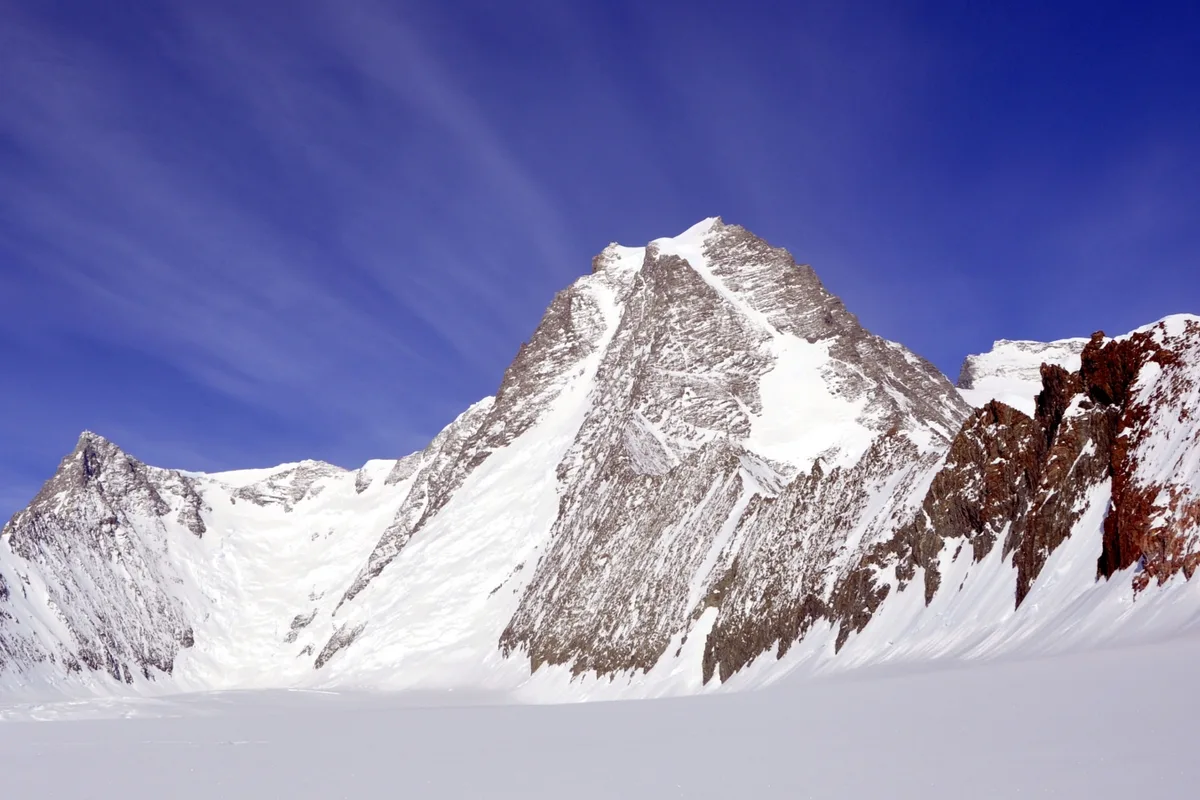
Mount Tyree
Mount Tyree is the second-highest mountain in Antarctica at 4,852 metres (15,919 ft), located just 13 kilometres northwest of Mount Vinson in the Sentinel Range. In stark contrast to the rounded, glaciated ramps of Mount Vinson, Mount Tyree is a terrifying, sheer horn of dark metamorphic rock and steep blue ice, rising over 2,000 metres directly from its surrounding glaciers. First ascended on January 6, 1967, by Barry Corbet and John Evans via the Northwest Face, it is widely acknowledged as the most technically demanding and formidable high peak in all of Antarctica, having seen fewer than twenty ascents in mountaineering history.
Documented Sources & Archival Citations
- Geology of the Ellsworth Mountains, Antarctica(Geological Society of America / USGS)
Supporting claim: Topographical and geological survey of the Sentinel Range
Accessed/Documented: 2026