Mount Tyree
Mount Tyree is the second-highest mountain in Antarctica at 4,852 metres (15,919 ft), located just 13 kilometres northwest of Mount Vinson in the Sentinel Range. In stark contrast to the rounded, glaciated ramps of Mount Vinson, Mount Tyree is a terrifying, sheer horn of dark metamorphic rock and steep blue ice, rising over 2,000 metres directly from its surrounding glaciers.

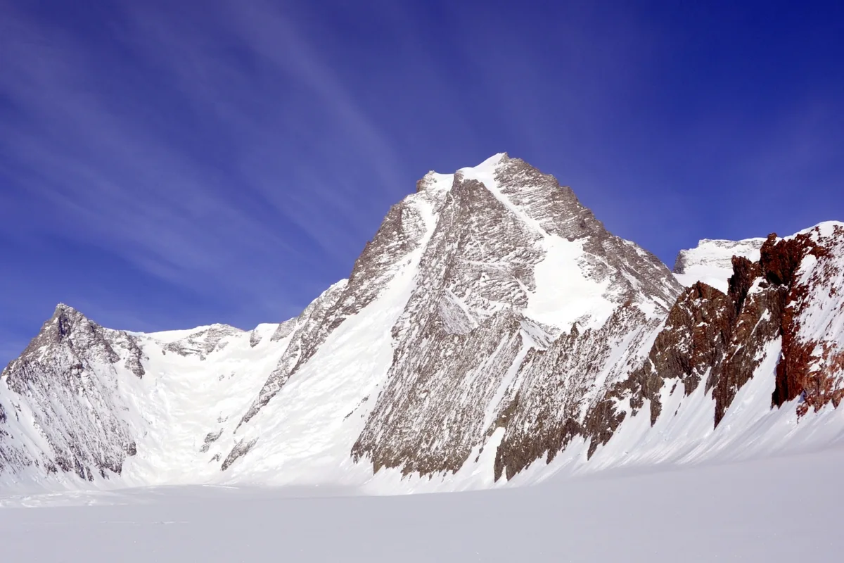
Mountain Safety & Conditions Disclaimer: High-altitude climbing, glacial travel, and technical ascents entail severe objective risks including avalanches, serac collapses, rapid weather collapse, and altitude illness. Historical route descriptions and summit claims on Mountanity reflect documented archival sources and must not be used as live operational safety assessments. Local regulations, permits, and physical glacial topography change continuously.
Peer Review: Senior Editorial Board & Historical Reviewers • Editorial Standards
Geographical Setting & Topography
Sentinel Range, Ellsworth Mountains, Ellsworth Land, Antarctica.
Historic First Ascent
Date: January 6, 1967
Ascent Team: Barry Corbet and John Evans
Key Statistics & Topographic Figures
- Official Elevation
- 4,852 metres (15,919 ft)
- Prominence
- 1,152 metres
- First Ascent
- January 6, 1967
- First Ascenders
- Barry Corbet and John Evans
- Total Ascents
- Fewer than 20 climbers in history
Archival Primary Source Quotations
“Tyree was an uncompromising wall of black rock and white ice, a vertical cathedral towering over the white desert.”
Defined Alpine Terminology & Concepts
- Granite Horn
- A steep, pointed spire of granite rock sculpted by surrounding glaciers, exemplified by the dramatic profile of Mount Tyree.
- Patton Glacier
- A major glaciated valley in the Sentinel Range that forms the staging base for climbs of Mount Tyree's northwest wall.
Mount Tyree Mountain Weather Forecast
Detailed 14-Day Summit Window & Weather Timeline
Explore day-by-day summit push safety windows, wind shear analysis, and extended multi-day forecasts for Mount Tyree.
Explore Mount Tyree (4,852 m) in Interactive 3D
Inspect steep glacial walls, hanging seracs, ridge approaches, and elevation relief with 360° rotation and terrain tilt in WebGL.
Documented Climbing Routes (1)
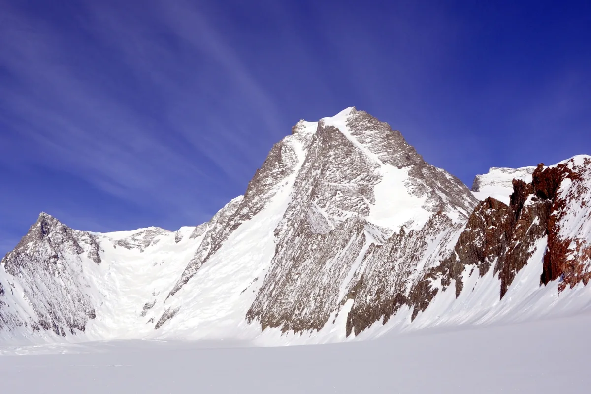
Northwest Face of Mount Tyree (Corbet-Evans Route)
The Northwest Face is the legendary maiden route up Mount Tyree (4,852 m), the second-highest and most difficult mountain in Antarctica. Established on January 6, 1967, by Barry Corbet and John Evans, the route tackles a 2,000-metre vertical wall of shattered granite, steep snow couloirs, and brittle blue ice pitches (Grade IV, 5.8 rock and 55° ice). Pushed in a single continuous 22-hour assault in sub-zero polar temperatures without fixed ropes or camps on the face, it stands as one of the finest bold alpine achievements in polar history.
Historical Expeditions (1)
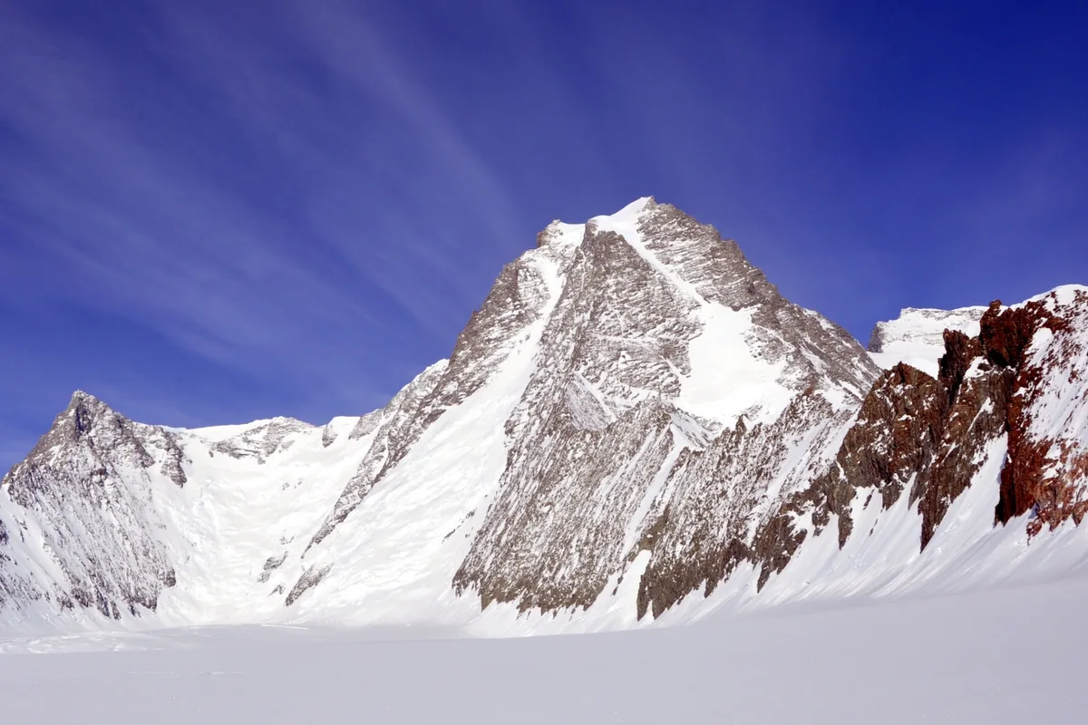
1967 Barry Corbet and John Evans Historic First Ascent of Mount Tyree
On January 6, 1967, American mountaineers Barry Corbet and John Evans completed the legendary maiden first ascent of Mount Tyree (4,852 m) via its daunting 2,000-metre Northwest Face. Pushed in a single continuous 22-hour alpine-style assault in -35°C polar cold, the pair conquered vertical 5.8 granite rock and 55° blue ice without fixed ropes, achieving one of the greatest technical climbs in polar history.
Summit Chronicles & Stories (1)
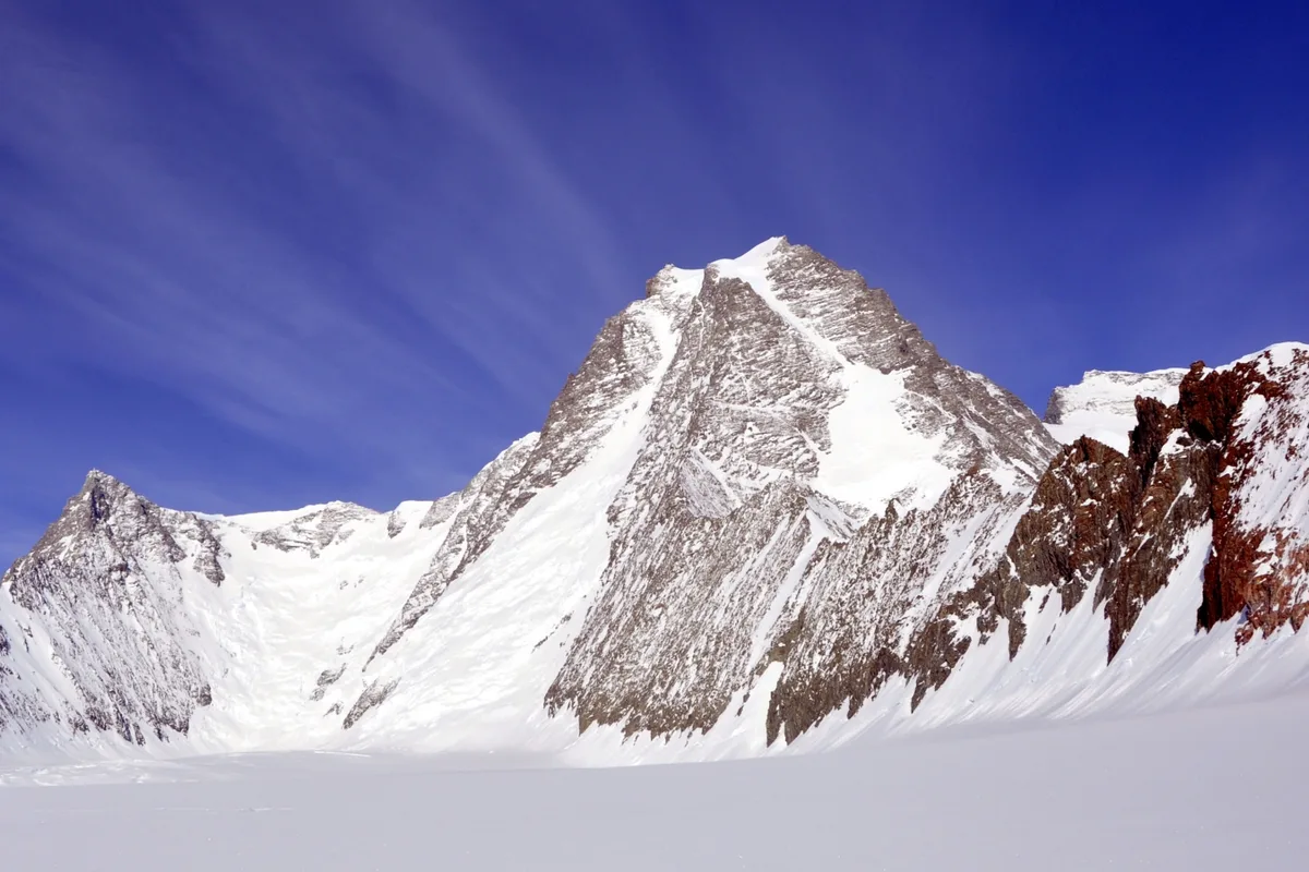
Antarctica's Hardest Peak: The 1967 First Ascent of Mount Tyree
Twenty-two continuous hours on a 2,000-metre frozen rock wall: Barry Corbet and John Evans conquer Mount Tyree in pure alpine style.
Frequently Asked Questions: Mount Tyree
What is Mount Tyree and how high is it?
Mount Tyree is the second-highest mountain in Antarctica at 4,852 metres, located 13 kilometres northwest of Mount Vinson.
Why is Mount Tyree considered the most difficult mountain in Antarctica?
Mount Tyree features sheer 2,000-metre vertical rock faces of brittle granite and steep ice gullies requiring expert technical climbing in extreme sub-zero cold.
Who first climbed Mount Tyree?
Barry Corbet and John Evans achieved the maiden first ascent via the Northwest Face on January 6, 1967, in a 22-hour continuous push.
Documented Sources & Archival Citations
- The First Ascent of Mount Tyree(American Alpine Journal / Barry Corbet)
Supporting claim: Primary technical ascent report of the Corbet-Evans route
Accessed/Documented: 1967 - Mount Tyree: Antarctica's Toughest Summit(Alpine Journal)
Supporting claim: Historical overview of ascents on Mount Tyree
Accessed/Documented: 2012