Northwest Face of Mount Tyree (Corbet-Evans Route)
The Northwest Face is the legendary maiden route up Mount Tyree (4,852 m), the second-highest and most difficult mountain in Antarctica. Established on January 6, 1967, by Barry Corbet and John Evans, the route tackles a 2,000-metre vertical wall of shattered granite, steep snow couloirs, and brittle blue ice pitches (Grade IV, 5.
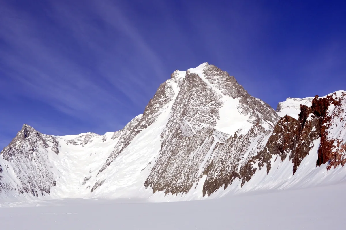
Ascent line, technical cruxes & camp topography profile for Northwest Face of Mount Tyree (Corbet-Evans Route)
Mountain Safety & Conditions Disclaimer: High-altitude climbing, glacial travel, and technical ascents entail severe objective risks including avalanches, serac collapses, rapid weather collapse, and altitude illness. Historical route descriptions and summit claims on Mountanity reflect documented archival sources and must not be used as live operational safety assessments. Local regulations, permits, and physical glacial topography change continuously.
Peer Review: Senior Editorial Board & Historical Reviewers • Editorial Standards
Tactical & Camp Notes
Only a handful of elite parties have successfully climbed Mount Tyree since 1967. The rock is brittle and loose, and protection in the sub-zero granite is difficult to secure.
Identified Objective Hazards
- •Severe objective danger from rockfall and spindrift avalanches down the narrow Northwest Couloir
- •Deadly hypothermia and frostbite from technical rock climbing in temperatures below -35°C
- •Fractured, loose rock that offers marginal anchor security for pitons and camming devices
- •Absolute remoteness: any accident on Tyree requires self-rescue without possibility of external assistance
Historical Context
Pioneered on January 6, 1967, by Barry Corbet and John Evans during the American Antarctic Mountaineering Expedition. The pair climbed for 22 continuous hours round trip to achieve the maiden ascent.
Interactive Elevation Profile
Vertical profile, technical cruxes, and camp staging progression for Northwest Face of Mount Tyree (Corbet-Evans Route) on Mount Tyree.
Isolated snow camp pitched on the upper Patton Glacier at the foot of Tyree's monstrous northwest wall.
Camp-by-Camp Topography
Key staging altitudes, technical cruxes, and terrain transitions for Northwest Face of Mount Tyree (Corbet-Evans Route).
Tyree Base Camp (Patton Glacier)
Isolated snow camp pitched on the upper Patton Glacier at the foot of Tyree's monstrous northwest wall.
Lower Couloir Bergschrund
A steep fractured ice notch giving access to the narrow, avalanche-swept couloirs dissecting the lower face.
Northwest Rock Rib Crux
Exposed multi-pitch rock climbing up vertical granite steps and shattered grey slabs requiring delicate crampon moves (5.8).
Northwest Summit Arête
A knife-edge snow and rock arête exposed to savage winds blowing across from the Ronne Ice Shelf.
Mount Tyree Pinnacle Summit
The sharp, airy granite needle towering 4,852 metres above the Sentinel icefields, marking the hardest summit in Antarctica.
Topographic Location & Terrain Map
Cartographic datum, massif coordinates, and terrain context for Northwest Face of Mount Tyree (Corbet-Evans Route) on Mount Tyree.
Interactive Topographic Terrain Map
Click below to load live cartographic contours, glacier approaches, and geographic markers for Mount Tyree (78°24′00″ S, 85°52′00″ W).
Key Statistics & Topographic Figures
- Route Type
- Extreme Technical Polar Rock & Ice Face
Topography
- Technical Difficulty
- Extremely Formidable Technical Alpinism / Grade IV, 5.8 Rock, 55° Ice
Alpine Grade IV, 5.8 technical rock pitches, 55° hard blue ice gullies
- Country / Region
- Antarctica (Sentinel Range / Ellsworth Mountains)
Location
Archival Primary Source Quotations
“A mountain route is not merely a path of rock and ice; it is a test of human endurance, judgment, and humility.”
Defined Alpine Terminology & Concepts
- Crux
- The most difficult and technically demanding pitch or section of a climbing route.
- Normal Route (Voie Normale)
- The most frequently climbed, least technical, and historically standard path to a mountain summit.
Frequently Asked Questions: Northwest Face of Mount Tyree (Corbet-Evans Route)
What is the climbing difficulty and grade of Northwest Face of Mount Tyree (Corbet-Evans Route)?
Northwest Face of Mount Tyree (Corbet-Evans Route) on mount-tyree is graded as Extremely Formidable Technical Alpinism / Grade IV, 5.8 Rock, 55° Ice, with technical climbing requirements including Alpine Grade IV, 5.8 technical rock pitches, 55° hard blue ice gullies.
What are the primary hazards on the Northwest Face of Mount Tyree (Corbet-Evans Route)?
Climbers on Northwest Face of Mount Tyree (Corbet-Evans Route) must navigate severe objective hazards including Severe objective danger from rockfall and spindrift avalanches down the narrow Northwest Couloir, Deadly hypothermia and frostbite from technical rock climbing in temperatures below -35°C, Fractured, loose rock that offers marginal anchor security for pitons and camming devices, Absolute remoteness: any accident on Tyree requires self-rescue without possibility of external assistance.
What camps are established on Northwest Face of Mount Tyree (Corbet-Evans Route)?
Northwest Face of Mount Tyree (Corbet-Evans Route) typically features 5 staging camps, progressing from Tyree Base Camp (Patton Glacier) (2650m) up toward the summit.
Mountain Ascended

Mount Tyree
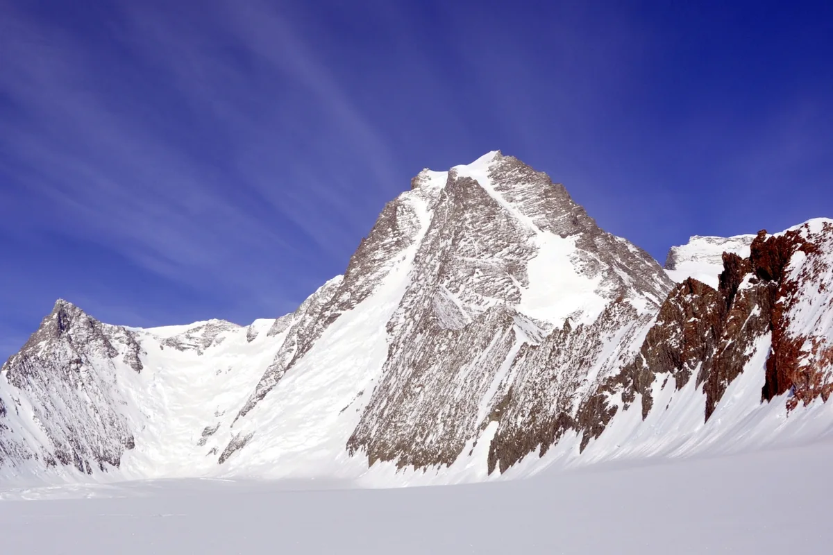
Mount Tyree is the second-highest mountain in Antarctica at 4,852 metres (15,919 ft), located just 13 kilometres northwest of Mount Vinson in the Sentinel Range. In stark contrast to the rounded, glaciated ramps of Mount Vinson, Mount Tyree is a terrifying, sheer horn of dark metamorphic rock and steep blue ice, rising over 2,000 metres directly from its surrounding glaciers. First ascended on January 6, 1967, by Barry Corbet and John Evans via the Northwest Face, it is widely acknowledged as the most technically demanding and formidable high peak in all of Antarctica, having seen fewer than twenty ascents in mountaineering history.
Documented Expeditions on this Route (1)
Verified historical summits, siege campaigns, and pioneer attempts recorded on Northwest Face of Mount Tyree (Corbet-Evans Route).
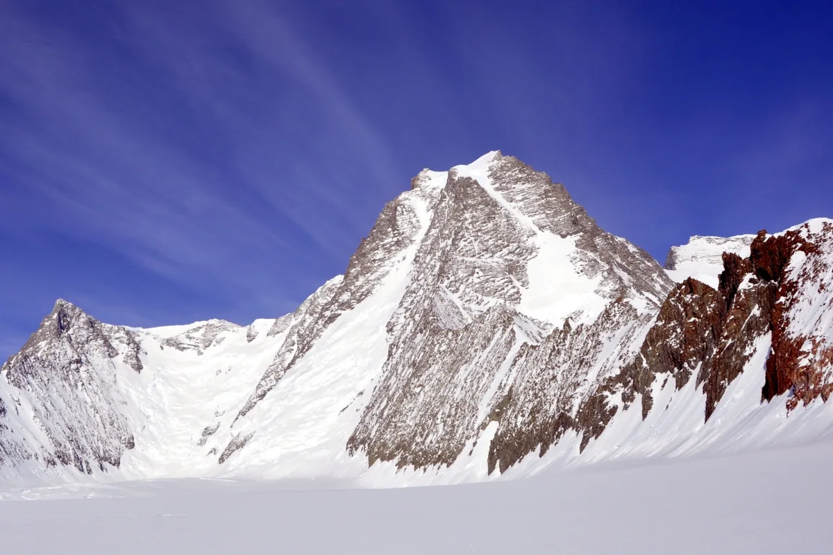
1967 Barry Corbet and John Evans Historic First Ascent of Mount Tyree
On January 6, 1967, American mountaineers Barry Corbet and John Evans completed the legendary maiden first ascent of Mount Tyree (4,852 m) via its daunting 2,000-metre Northwest Face. Pushed in a single continuous 22-hour alpine-style assault in -35°C polar cold, the pair conquered vertical 5.8 granite rock and 55° blue ice without fixed ropes, achieving one of the greatest technical climbs in polar history.
Archival Chronicles & Stories on this Route (1)
In-depth longform historical narratives, harrowing survival accounts, and firsthand alpine journals on Northwest Face of Mount Tyree (Corbet-Evans Route).
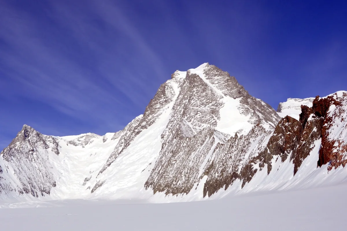
Antarctica's Hardest Peak: The 1967 First Ascent of Mount Tyree
Twenty-two continuous hours on a 2,000-metre frozen rock wall: Barry Corbet and John Evans conquer Mount Tyree in pure alpine style.
Documented Sources & Archival Citations
- First Ascent of Mount Tyree(Barry Corbet / American Alpine Journal)
Supporting claim: Firsthand official technical narrative of the Northwest Face ascent
Accessed/Documented: 1967 - Antarctic Mountaineering History(Damien Gildea / Editions Nevicata)
Supporting claim: Comprehensive chronicle of all ascents and route attempts on Mount Tyree
Accessed/Documented: 2015