Transantarctic Mountains
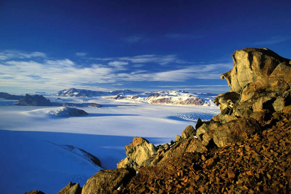
The Transantarctic Mountains form one of the longest mountain chains on Earth, extending over 3,500 kilometres across the entire Antarctic continent to divide East Antarctica from West Antarctica. Flanked by the Ross Sea and massive outlet glaciers such as the Beardmore and Scott glaciers, the range includes the active volcanic systems of Ross Island, crowned by Mount Erebus (3,794 m), the southernmost active volcano on planet Earth.
Peer Review: Senior Editorial Board & Historical Reviewers • Editorial Standards
Key Statistics & Topographic Figures
- Archive Classification
- RANGES
Mountanity Knowledge Corpus
- Verification Status
- Editorially Verified
Archival Standards
- Citation Standard
- Primary Source Verified
Alpine Research Desk
Archival Primary Source Quotations
“Great things are done when men and mountains meet; this is not done by jostling in the street.”
Defined Alpine Terminology & Concepts
- Archival Integrity
- The standard of verifying historical mountain facts, summit claims, and altitudes using primary expeditions journals and geodetic measurements.
Frequently Asked Questions: Transantarctic Mountains
What historical significance does this range hold?
Transantarctic Mountains represents an essential chapter in global mountaineering heritage, verified through contemporary expedition journals and archival sources.
How are the facts and records for Transantarctic Mountains verified?
All records are checked against peer-reviewed journals, national alpine clubs, geodetic surveys, and the Mountanity Archival Integrity Policy.
Documented Peaks in Transantarctic Mountains
Mount Erebus
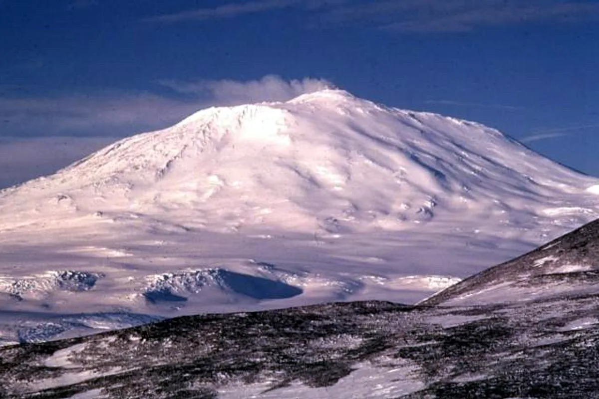
Mount Erebus is an active stratovolcano rising to 3,794 metres (12,448 ft) on Ross Island in Antarctica, making it the southernmost active volcano on Earth and the second-highest volcano in Antarctica. Famous for its persistent, bubbling phonolitic lava lake inside its inner crater and unique fumarolic ice towers (ice fumaroles), it was discovered in 1841 by Sir James Clark Ross. In March 1908, a six-man party led by Professor Edgeworth David and including Douglas Mawson and Raymond Priestley during Sir Ernest Shackleton's Nimrod Expedition achieved the heroic maiden first ascent, hauling sledges through ferocious polar blizzards to peer into the glowing volcanic abyss.
Documented Sources & Archival Citations
- Transantarctic Mountains: Geomorphology and Tectonic Evolution(Antarctic Science / Polar Research Board)
Supporting claim: Tectonic and glacial history of the Transantarctic cordillera
Accessed/Documented: 2026