Mount Erebus
Mount Erebus is an active stratovolcano rising to 3,794 metres (12,448 ft) on Ross Island in Antarctica, making it the southernmost active volcano on Earth and the second-highest volcano in Antarctica. Famous for its persistent, bubbling phonolitic lava lake inside its inner crater and unique fumarolic ice towers (ice fumaroles), it was discovered in 1841 by Sir James Clark Ross.

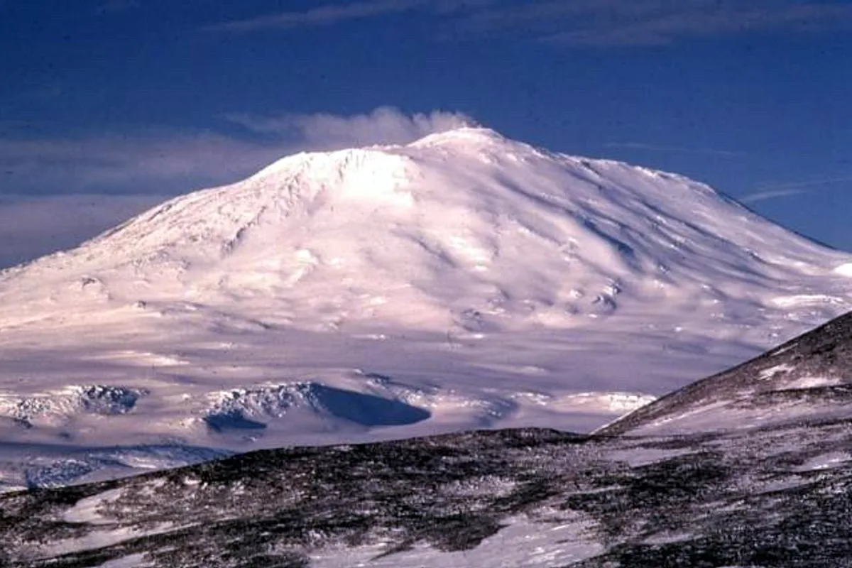
Mountain Safety & Conditions Disclaimer: High-altitude climbing, glacial travel, and technical ascents entail severe objective risks including avalanches, serac collapses, rapid weather collapse, and altitude illness. Historical route descriptions and summit claims on Mountanity reflect documented archival sources and must not be used as live operational safety assessments. Local regulations, permits, and physical glacial topography change continuously.
Peer Review: Senior Editorial Board & Historical Reviewers • Editorial Standards
Geographical Setting & Topography
Ross Island, McMurdo Sound / Transantarctic boundary, Antarctica.
Historic First Ascent
Date: March 10, 1908
Ascent Team: Edgeworth David, Douglas Mawson, Raymond Priestley, Alistair Mackay, Eric Marshall, and Philip Brocklehurst
Key Statistics & Topographic Figures
- Official Elevation
- 3,794 metres (12,448 ft)
- Prominence
- 3,794 metres (Ultra-prominent)
- First Ascent
- March 10, 1908
- Volcanic Type
- Active Stratovolcano with Lava Lake
- Geographical Setting
- Ross Island, McMurdo Sound
Archival Primary Source Quotations
“Erebus was a giant breathing fire into the polar frost, throwing glowing incandescent bombs against the frozen sky.”
Defined Alpine Terminology & Concepts
- Stratovolcano
- A conical volcano built up by many layers of hardened lava, tephra, pumice, and volcanic ash.
- Phonolite Lava Lake
- A rare open pool of molten alkali-rich magma that remains fluid and convecting over extended periods.
Mount Erebus Mountain Weather Forecast
Detailed 14-Day Summit Window & Weather Timeline
Explore day-by-day summit push safety windows, wind shear analysis, and extended multi-day forecasts for Mount Erebus.
Explore Mount Erebus (3,794 m) in Interactive 3D
Inspect steep glacial walls, hanging seracs, ridge approaches, and elevation relief with 360° rotation and terrain tilt in WebGL.
Documented Climbing Routes (1)
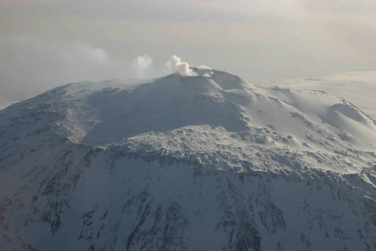
Caldera Rim & Fang Ridge Route of Mount Erebus
The Caldera Rim Route is the historic ascent line up Mount Erebus (3,794 m), the southernmost active volcano on Earth. Ascending from Cape Royds across the slopes of Fang Glacier and the shattered remnants of the caldera wall known as Fang Ridge, the route traverses vast fields of spectacular, geothermal ice fumaroles (ice chimneys) before reaching the outer caldera rim at 3,500 metres. From there, climbers traverse to the active inner crater rim (3,794 m) overlooking the world's only permanent open phonolite lava lake. First completed on March 10, 1908, by Edgeworth David, Douglas Mawson, and Raymond Priestley during Shackleton's Nimrod expedition, it combines extreme polar wilderness exploration with active volcanology.
Historical Expeditions (1)
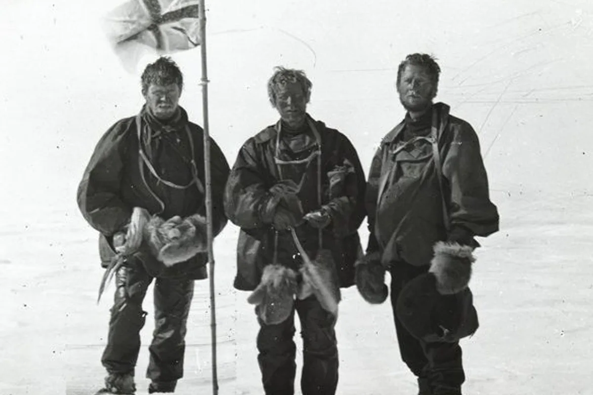
1908 Edgeworth David, Douglas Mawson and Raymond Priestley Historic First Ascent of Mount Erebus
On March 10, 1908, a six-man party from Sir Ernest Shackleton's British Antarctic (Nimrod) Expedition—led by 50-year-old Professor Edgeworth David and including Douglas Mawson and 21-year-old geologist Raymond Priestley—achieved the maiden first ascent of Mount Erebus (3,794 m). Hauling heavy sledges across icy volcanic slopes and enduring a multi-day blizzard at sub-zero temperatures, the climbers reached the active caldera lip to peer into the bubbling molten lava lake.
Summit Chronicles & Stories (1)
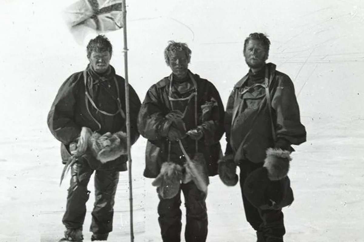
Into the Cauldron of Ice: The 1908 First Ascent of Mount Erebus
Through polar blizzards and geothermal ice towers to the glowing lava lake of Earth's southernmost active volcano.
Frequently Asked Questions: Mount Erebus
What is Mount Erebus and where is it located?
Mount Erebus is an active stratovolcano rising to 3,794 metres on Ross Island in Antarctica, famous as the southernmost active volcano on Earth.
Does Mount Erebus have an active lava lake?
Yes, Mount Erebus contains a persistent, boiling phonolite lava lake inside its inner crater that has been actively churning for decades.
Who made the first ascent of Mount Erebus?
Edgeworth David, Douglas Mawson, and Raymond Priestley made the maiden first ascent on March 10, 1908, during Shackleton's Nimrod Expedition.
Documented Sources & Archival Citations
- The Heart of the Antarctic(Sir Ernest Shackleton / William Heinemann)
Supporting claim: Firsthand official expedition chronicle of the 1908 Mount Erebus first ascent
Accessed/Documented: 1909 - Volcanological Observations on Mount Erebus(Bulletin of Volcanology / USGS)
Supporting claim: Geological and volcanic survey of Erebus caldera and lava lake
Accessed/Documented: 2026