Mazeno Ridge Complete Traverse
The Mazeno Ridge of Nanga Parbat is widely considered the longest and most demanding high-altitude ridge on any eight-thousander, stretching an unbelievable 10 kilometres in length and traversing eight subsidiary peaks exceeding 7,000 metres before meeting the final summit pyramid.
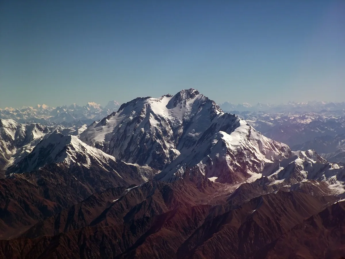
Ascent line, technical cruxes & camp topography profile for Mazeno Ridge Complete Traverse
Mountain Safety & Conditions Disclaimer: High-altitude climbing, glacial travel, and technical ascents entail severe objective risks including avalanches, serac collapses, rapid weather collapse, and altitude illness. Historical route descriptions and summit claims on Mountanity reflect documented archival sources and must not be used as live operational safety assessments. Local regulations, permits, and physical glacial topography change continuously.
Peer Review: Senior Editorial Board & Historical Reviewers • Editorial Standards
Tactical & Camp Notes
Demands unparalleled physical endurance, ruthless weight discipline, autonomous survival capacity over more than two weeks, and exceptional psychological fortitude in sustained hypoxia.
Identified Objective Hazards
- •Severe physiological deterioration from eighteen continuous days spent above 6,500 and 7,000 metres
- •Running out of food, water, and stove fuel halfway across an inescapable 10-kilometre ridge
- •Massive cornice collapses along the knife-edge crest dropping 4,000 metres into the Rupal Valley
- •Total impossibility of helicopter evacuation or high-altitude rescue along the remote serrated ridge
Historical Context
Conquered in July 2012 by Sandy Allan (age 56) and Rick Allen (age 57) in pure alpine style, awarded the 2013 Piolet d'Or for one of the greatest endurance feats in modern mountaineering.
Interactive Elevation Profile
Vertical profile, technical cruxes, and camp staging progression for Mazeno Ridge Complete Traverse on Nanga Parbat.
Staged near the foot of the Mazeno Pass below the colossal south-western flank.
Camp-by-Camp Topography
Key staging altitudes, technical cruxes, and terrain transitions for Mazeno Ridge Complete Traverse.
Mazeno Base Camp
Staged near the foot of the Mazeno Pass below the colossal south-western flank.
Mazeno Pass Camp
Initial gateway to the ridge line, marking the divide between the Diamir and Rupal watersheds.
Ridge Bivouac 1
Exposed snow trench dug into a knife-edge corniced ridge overlooking the Rupal abyss.
Ridge Bivouac 2 (Mazeno Peak 1)
Pitched atop the first subsidiary summit under severe Karakoram jet-stream gusts.
Ridge Bivouac 3 (Mazeno Peak 4)
High snow cave hollowed into wind-packed firn amidst deteriorating rations and fuel.
Mazeno Col High Bivouac
The critical junction below the final Schell Route and Diamir Gap where the summit assault begins.
Summit Pyramid Bivouac
An emergency sub-zero snow hole excavated on the final upper couloir after eighteen days on the mountain.
Nanga Parbat Summit
The true summit reached on July 12, 2012, followed by a perilous descent down the Kinshofer Route on the Diamir Face.
Topographic Location & Terrain Map
Cartographic datum, massif coordinates, and terrain context for Mazeno Ridge Complete Traverse on Nanga Parbat.
Interactive Topographic Terrain Map
Click below to load live cartographic contours, glacier approaches, and geographic markers for Nanga Parbat (35°14′14″ N, 74°35′21″ E).
Key Statistics & Topographic Figures
- Route Type
- Extreme High-Altitude Ridge Traverse
Topography
- Technical Difficulty
- Extremely Severe / Grade VI, ED, 10km crest, 5.8, Scottish IV
Grade VI, ED, 10-kilometre sustained traverse above 7,000m, Scottish IV mixed ice
- Country / Region
- Pakistan (Gilgit-Baltistan / Diamer & Astore)
Location
Archival Primary Source Quotations
“A mountain route is not merely a path of rock and ice; it is a test of human endurance, judgment, and humility.”
Defined Alpine Terminology & Concepts
- Crux
- The most difficult and technically demanding pitch or section of a climbing route.
- Normal Route (Voie Normale)
- The most frequently climbed, least technical, and historically standard path to a mountain summit.
Frequently Asked Questions: Mazeno Ridge Complete Traverse
What is the climbing difficulty and grade of Mazeno Ridge Complete Traverse?
Mazeno Ridge Complete Traverse on nanga-parbat is graded as Extremely Severe / Grade VI, ED, 10km crest, 5.8, Scottish IV, with technical climbing requirements including Grade VI, ED, 10-kilometre sustained traverse above 7,000m, Scottish IV mixed ice.
What are the primary hazards on the Mazeno Ridge Complete Traverse?
Climbers on Mazeno Ridge Complete Traverse must navigate severe objective hazards including Severe physiological deterioration from eighteen continuous days spent above 6,500 and 7,000 metres, Running out of food, water, and stove fuel halfway across an inescapable 10-kilometre ridge, Massive cornice collapses along the knife-edge crest dropping 4,000 metres into the Rupal Valley, Total impossibility of helicopter evacuation or high-altitude rescue along the remote serrated ridge.
What camps are established on Mazeno Ridge Complete Traverse?
Mazeno Ridge Complete Traverse typically features 8 staging camps, progressing from Mazeno Base Camp (4200m) up toward the summit.
Mountain Ascended
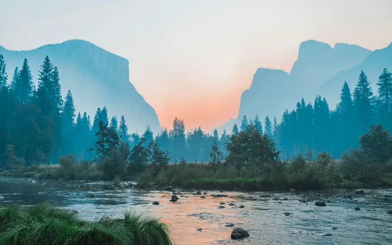

Nanga Parbat
Nanga Parbat, at 8,126 meters (26,660 ft), is the ninth-highest mountain on Earth and the western anchor of the Himalayas in Pakistan. It boasts the Rupal Face, the highest vertical precipice in the world at 4,600 meters from valley floor to summit. Known for profound climbing history, highlighted by Hermann Buhl's legendary solo summit without supplemental oxygen in 1953.
Documented Expeditions on this Route (1)
Verified historical summits, siege campaigns, and pioneer attempts recorded on Mazeno Ridge Complete Traverse.
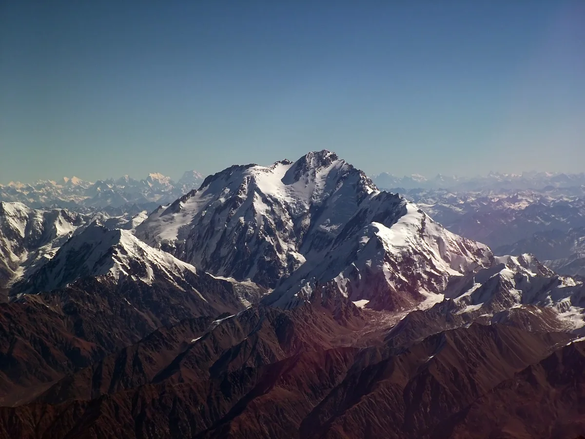
2012 Sandy Allan & Rick Allen Nanga Parbat Mazeno Ridge First Complete Ascent
In July 2012, British mountaineers Sandy Allan (age 56) and Rick Allen (age 57) completed the historic first full ascent of Nanga Parbat's 10-kilometre Mazeno Ridge in pure alpine style over eighteen grueling days, crossing eight 7,000m summits to reach the top.
Archival Chronicles & Stories on this Route (1)
In-depth longform historical narratives, harrowing survival accounts, and firsthand alpine journals on Mazeno Ridge Complete Traverse.
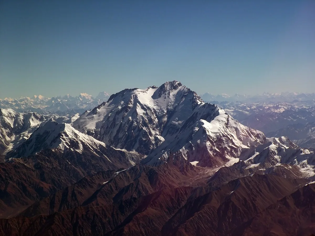
The Endless Horizon: Sandy Allan and the Eighteen-Day Mazeno Ridge Traverse
In July 2012, Scottish mountaineers Sandy Allan and Rick Allen conquered Nanga Parbat's 10-kilometre Mazeno Ridge in an eighteen-day alpine-style epic, winning the Piolet d'Or.
Documented Sources & Archival Citations
- In Some Lost Place: The First Ascent of Nanga Parbat's Mazeno Ridge(Sandy Allan / Vertebrate Publishing)
Supporting claim: The definitive first-person autobiography documenting the 18-day Mazeno Ridge conquest
Accessed/Documented: 2015 - Piolets d'Or 2013 Citation: Mazeno Ridge of Nanga Parbat(Piolets d'Or Jury)
Supporting claim: Official international jury citation awarding Sandy Allan and Rick Allen the Piolet d'Or
Accessed/Documented: 2013