Rick Allen
Rick Allen (1953–2021) was an internationally revered Scottish master alpinist celebrated for his extraordinary endurance and pure alpine-style ethics on the world's most daunting peaks. In July 2012, Allen and Sandy Allan completed the historic first full ascent of Nanga Parbat's 10-kilometre Mazeno Ridge over eighteen days, earning the 2013 Piolet d'Or. Allen's miraculous survival on Broad Peak in 2018 stands as one of the most legendary rescues in mountaineering history.
Mountain Safety & Conditions Disclaimer: High-altitude climbing, glacial travel, and technical ascents entail severe objective risks including avalanches, serac collapses, rapid weather collapse, and altitude illness. Historical route descriptions and summit claims on Mountanity reflect documented archival sources and must not be used as live operational safety assessments. Local regulations, permits, and physical glacial topography change continuously.
Peer Review: Senior Editorial Board & Historical Reviewers • Editorial Standards
Biographical Record & Archival Chronicle
Richard 'Rick' Allen was born in 1953 in Scotland. Growing up climbing the rugged sea cliffs and frozen gullies of the Scottish Highlands, Allen forged an extraordinary physical endurance and an understated, humble persona that made him a beloved legend among British mountaineers. Rejecting commercialized siege climbing, Allen devoted his life to exploratory, small-team alpine style in the world's highest mountains.
Over a four-decade career, Allen climbed extensively across the Karakoram and Himalayas, establishing bold lines on peaks exceeding 7,000 and 8,000 metres. His finest hour arrived in July 2012 on Nanga Parbat (8,126m). Partnered with fellow Scottish veteran Sandy Allan, Rick Allen—then fifty-seven years old—tackled the unclimbed 10-kilometre Mazeno Ridge. Over eighteen continuous days living above 6,500 metres without supplemental oxygen and enduring days without food and water, Allen pushed through severe frostbite and temporary snow blindness to reach the summit on July 12, 2012. The breakthrough earned Allen and Allan the 2013 Piolet d'Or.
In July 2018, while descending from a solo summit bid on Broad Peak (8,051m) in Pakistan, Allen slipped and fell from an elevation above 7,400 metres, sliding into an icy wilderness. Believed dead by climbers at Base Camp, Allen miraculously survived an open bivouac in freezing temperatures. Thirty-six hours later, Polish filmmaker Bartek Bargiel spotted Allen moving through the snow using a camera drone, guiding rescue climbers from Camp III to reach him alive in one of the first drone-assisted mountain rescues in history.
In July 2021, while attempting a new lightweight route on the Southeast Face of K2 (8,611m) to raise funds for mountain charities, Allen was tragically swept away and killed by an avalanche at age sixty-eight. He is remembered as one of the purest, most resilient souls to ever touch the high Himalayas.
Notable Milestones & Ascents
- First complete traverse of the 10-kilometre Mazeno Ridge on Nanga Parbat (8,126m) in pure alpine style with Sandy Allan in July 2012
- Awarded the prestigious Piolet d'Or in 2013 for the Mazeno Ridge breakthrough
- Survived a high-altitude fall and 36-hour solitary open bivouac above 7,400m on Broad Peak in 2018
- Summited Mount Everest, Cho Oyu, and Dhaulagiri without supplemental oxygen
- Pioneered alpine ascents on Pumori, Makalu, and K2 across four decades of Scottish and Himalayan exploration
- Co-recipient of the Queen's Commendation for Bravery for mountain rescue operations
Key Statistics & Topographic Figures
- Archive Classification
- MOUNTAINEERS
Mountanity Knowledge Corpus
- Verification Status
- Editorially Verified
Archival Standards
- Citation Standard
- Primary Source Verified
Alpine Research Desk
Archival Primary Source Quotations
“Great things are done when men and mountains meet; this is not done by jostling in the street.”
Defined Alpine Terminology & Concepts
- Archival Integrity
- The standard of verifying historical mountain facts, summit claims, and altitudes using primary expeditions journals and geodetic measurements.
Frequently Asked Questions: Rick Allen
What historical significance does this mountaineer hold?
Rick Allen represents an essential chapter in global mountaineering heritage, verified through contemporary expedition journals and archival sources.
How are the facts and records for Rick Allen verified?
All records are checked against peer-reviewed journals, national alpine clubs, geodetic surveys, and the Mountanity Archival Integrity Policy.
Associated Summits (4)
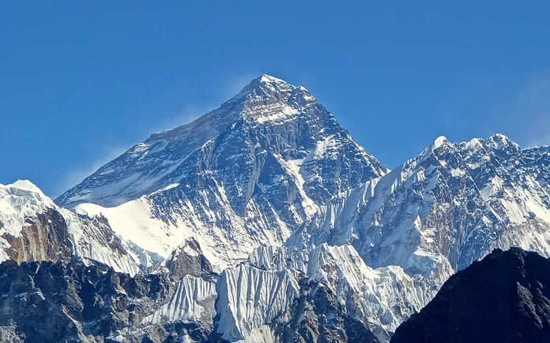


Mount Everest
Mount Everest is the highest mountain above sea level on Earth, standing at an official elevation of 8,848.86 meters (29,031.7 ft). Straddling the international frontier between Nepal and China, it is known locally as Sagarmatha in Nepali ('Goddess of the Sky') and Chomolungma in Tibetan ('Mother Goddess of the World'). The peak rises into the extreme upper troposphere, where oxygen levels drop to barely one-third of sea-level pressure. Climbers face hurricane-force jet stream winds, severe frostbite conditions, shifting ice crevasses in the Khumbu Icefall, and the dangerous Death Zone above 8,000 meters.
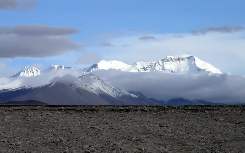
Cho Oyu
Cho Oyu, at 8,188 meters (26,864 ft), is the sixth-highest mountain in the world, situated 20 km west of Mount Everest. Meaning 'Turquoise Goddess' in Tibetan, it stands on the glaciated Nangpa La trade route between Nepal and Tibet. Its moderate northwest slopes make it the most accessible 8,000-meter peak.
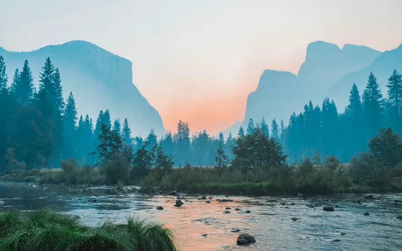

Nanga Parbat
Nanga Parbat, at 8,126 meters (26,660 ft), is the ninth-highest mountain on Earth and the western anchor of the Himalayas in Pakistan. It boasts the Rupal Face, the highest vertical precipice in the world at 4,600 meters from valley floor to summit. Known for profound climbing history, highlighted by Hermann Buhl's legendary solo summit without supplemental oxygen in 1953.
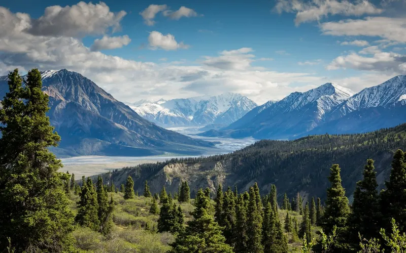
Broad Peak
Broad Peak, at 8,051 meters (26,414 ft), is the twelfth-highest mountain in the world. Located in the Karakoram directly across the Godwin-Austen Glacier from K2, it is famous for its 1.5-kilometre-long summit crest. First climbed in lightweight alpine style without supplemental oxygen or high-altitude porters in 1957 by an Austrian team.
Pioneered & Associated Routes (11)
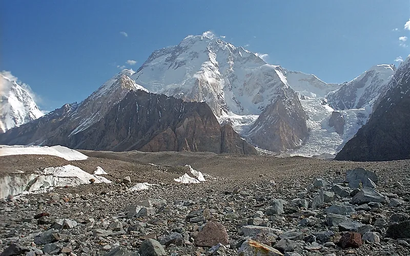
Normal Route (West Ridge & Northwest Face)
The Normal Route on Broad Peak ascends the rugged western spur from the Godwin-Austen Glacier, navigating steep mixed rock ribs before entering the upper glacial basin beneath the high saddle (the Col). From the Col at 7,800 meters, climbers enter the Death Zone to tackle the long, corniced summit ridge leading across the Foresummit to the true summit at 8,051 meters. First conquered in 1957 by an Austrian team in lightweight alpine style without bottled oxygen, and climbed in 1982 by Reinhold Messner, Nazir Sabir, and Sher Khan in a groundbreaking rapid alpine push.
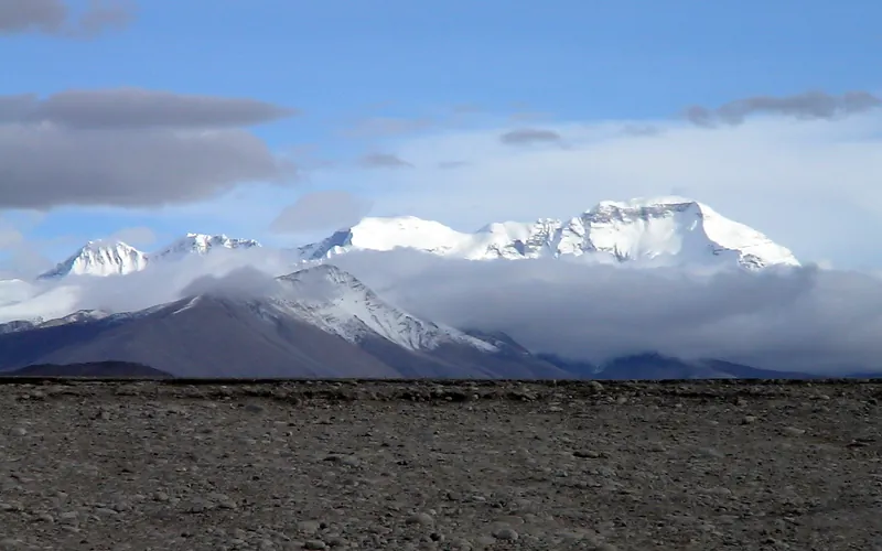
Cho Oyu Northwest Face & Ridge (Normal Route)
The Northwest Ridge is the standard and most climbed route on Cho Oyu, approached from the Tibetan plateau via the Gyabrag Glacier. First climbed in 1954 by an Austrian expedition, the route features relatively moderate snow slopes of 30 to 40 degrees, punctuated by a single prominent technical crux known as the Ice Cliff at 6,700m. Above Camp 3, climbers cross the Yellow Band and emerge onto a vast, gently rising summit plateau.
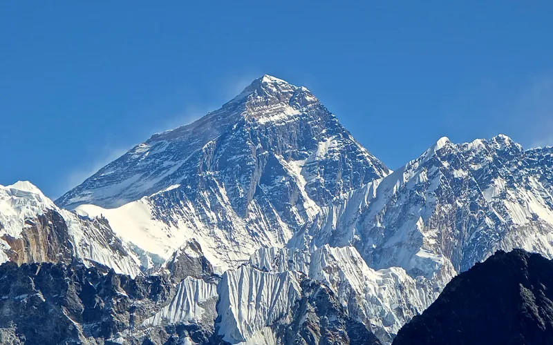
Mount Everest North Face (Hornbein Couloir Direct)
The North Face of Mount Everest via the Japanese Couloir and the sheer Hornbein Couloir is one of the most direct and formidable ice lines in the Himalayas. Rising 3,000 vertical meters from the Rongbuk Glacier to the summit, it funnels through a narrow 60-degree snow-and-ice cleft slicing straight through the Yellow Band and upper limestone cliffs of the North Face. In August 1986, Swiss alpinists Erhard Loretan and Jean Troillet executed one of the most audacious speed climbs in mountain history: climbing the entire face in a single 31-hour push at night without supplemental oxygen, tents, or fixed ropes. After summiting on August 30, they glissaded down the 3,000-meter face on their backs and buttocks in just 3.5 hours, completing the entire round trip in an astonishing 43 hours.
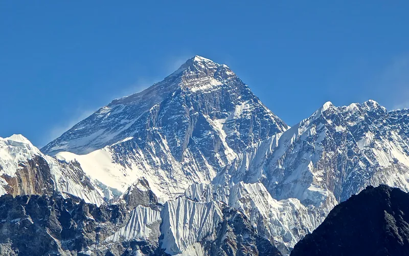
North Col & Northeast Ridge Route
The historic northern route on Mount Everest (8,848.86m), ascending from the Rongbuk and East Rongbuk glaciers to breach the icy wall of the North Col (7,020m). From the col, the route traverses the wind-blasted Northwest Ridge onto the North Face before joining the razor-like Northeast Ridge, navigating the notorious First, Second, and Third Steps in the Death Zone. This was the stage of George Mallory and Andrew Irvine's fateful 1924 climb and was first definitively surmounted on May 25, 1960, by Chinese climbers Wang Fuzhou, Qu Yinhua, and Gongbu.
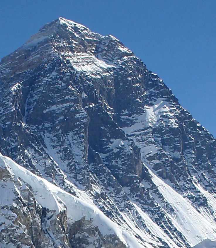
Mount Everest Southwest Face (Bonington Route)
The Southwest Face of Mount Everest (8,848.86m) rises 2,300 vertical meters from the Western Cwm to the summit, presenting one of the largest and most forbidding rock and ice faces in the world. Dominated by the vertical 300-meter 'Rock Band' at 8,200–8,500 meters, the face repelled six international attempts between 1969 and 1974. In autumn 1975, a legendary British expedition led by Chris Bonington breached the face when Paul Braithwaite and Nick Estcourt unlocked the key ramp through the Rock Band. On September 24, 1975, Doug Scott and Dougal Haston climbed to the South Summit and pushed on to the main summit, becoming the first Britons to conquer Everest. Trapped by nightfall during their descent, they survived an epic open bivouac at 8,760 meters without oxygen, sleeping bags, or frostbite.
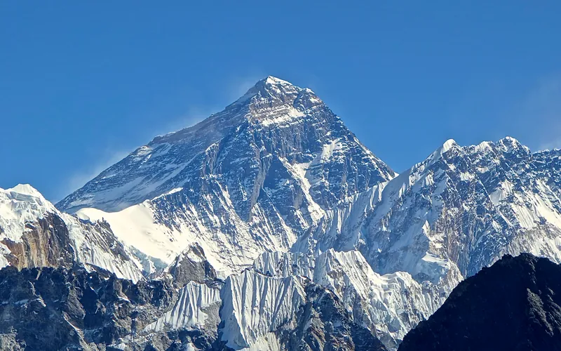
Mount Everest Complete West Ridge (Yugoslav Direct)
The Complete West Ridge of Mount Everest is one of the most formidable and sustained technical routes on the mountain. Pioneered in spring 1979 by an elite Yugoslav expedition led by Tone Škarja, the route tackles the integral knife-edge crest directly from the Lho La col (6,026m) all the way to the 8,848.86m summit. Unlike the 1963 American West Ridge route which diverted into the Hornbein Couloir from the North Face, the Yugoslav line stayed strictly along the razor-edge crest of the West Ridge, surmounting technical rock buttresses up to Grade V+ at extreme altitude before traversing around the Yellow Band. On May 13, 1979, Andrej Štremfelj and Nejc Zaplotnik achieved the first ascent of the complete ridge, followed two days later by Stane Belak, Marjan Manfreda, and Ang Phu Sherpa in one of the greatest feats in Himalayan history.
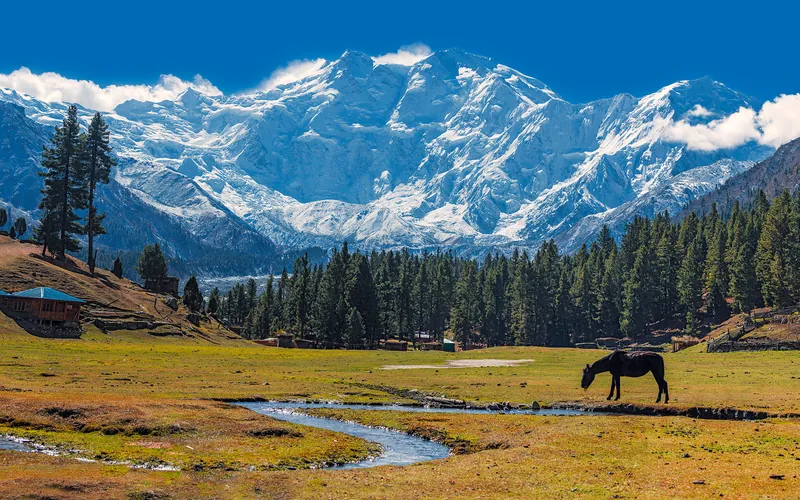
Kinshofer Route (Diamir Face)
The Kinshofer Route is the standard climbing route up the Diamir Face on Nanga Parbat's western side. First climbed in 1962 by German mountaineer Toni Kinshofer and his teammates, it is famous for its early vertical crux, the Kinshofer Wall, which sits low on the mountain between Camp I and Camp II. Once past the wall, climbers face a massive glaciated amphitheater leading up into the freezing upper Bazhin Basin and summit shoulder.
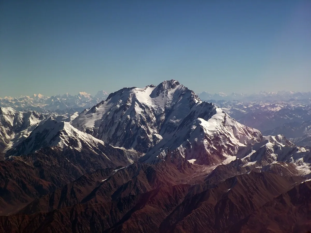
Mazeno Ridge Complete Traverse
The Mazeno Ridge of Nanga Parbat is widely considered the longest and most demanding high-altitude ridge on any eight-thousander, stretching an unbelievable 10 kilometres in length and traversing eight subsidiary peaks exceeding 7,000 metres before meeting the final summit pyramid. Long dubbed the last great problem of the Western Himalaya, it defeated numerous elite expeditions over three decades until British veterans Sandy Allan and Rick Allen completed the first full integral traverse and summit push in pure alpine style over eighteen heroic days in July 2012.
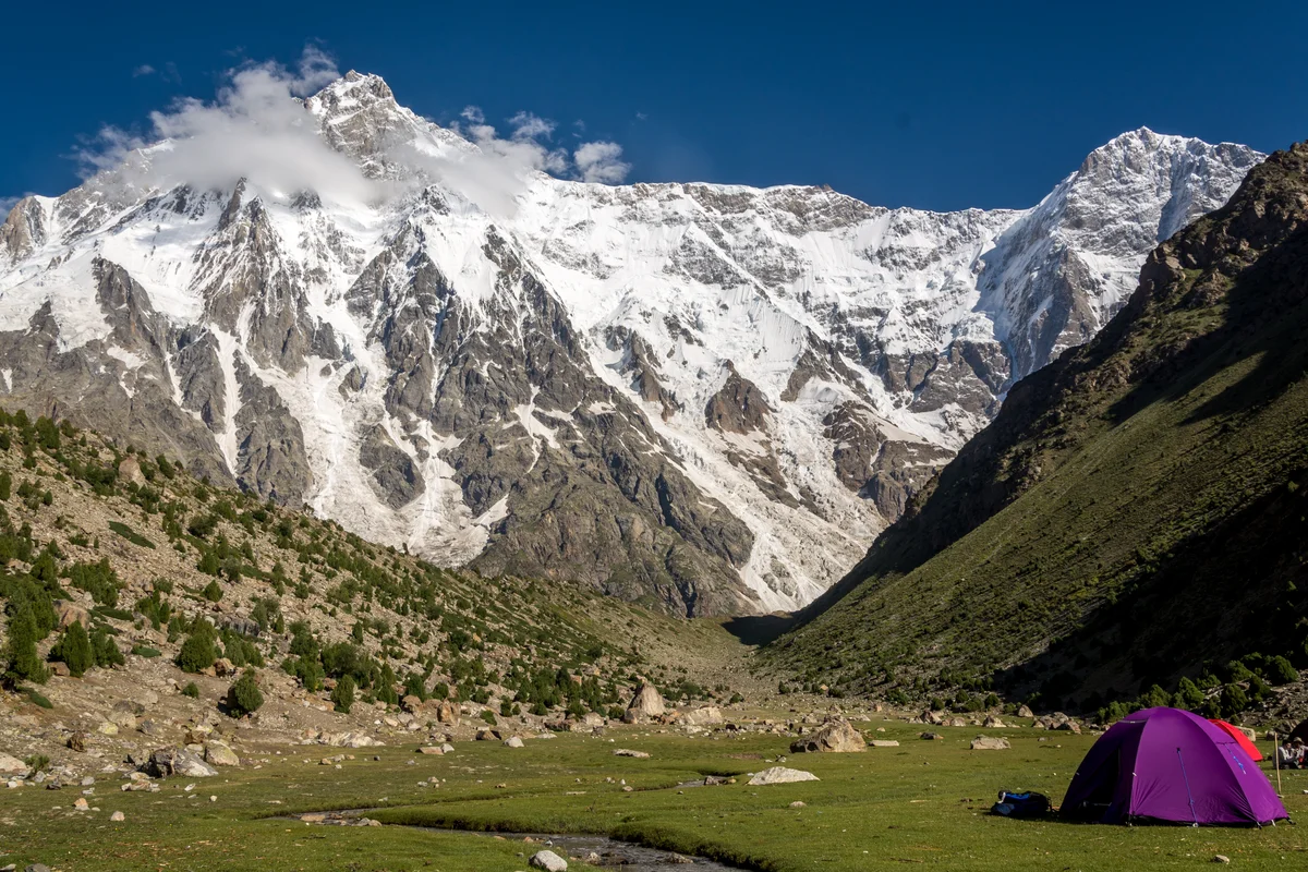
Central Pillar of the Rupal Face Direct
The Central Pillar of the Rupal Face on Nanga Parbat is the greatest vertical mountain wall on Earth, rising an astounding 4,100 metres from the Rupal Valley floor to the 8,126-metre summit. First attempted over decades, it was conquered in pure, lightweight alpine style between September 1 and 8, 2005, by American alpinists Steve House and Vince Anderson without fixed ropes, high camps, or supplemental oxygen, earning them the prestigious Piolet d'Or.
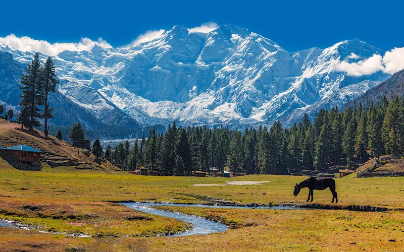
Rakhiot Flank & East Ridge (Original 1953 Route)
The historic original route on Nanga Parbat (8,126m), ascending from the Rakhiot Glacier over the heavily crevassed Rakhiot Icefall to reach the colossal Silbersattel (Silver Saddle) at 7,450 meters. From the saddle, the route traverses an immense high snow plateau for over three kilometers before negotiating the Bazhin Gap and climbing steep mixed rock ribs up the summit pyramid. Immortalized by Hermann Buhl's epic 41-hour solo summit without supplemental oxygen in July 1953.
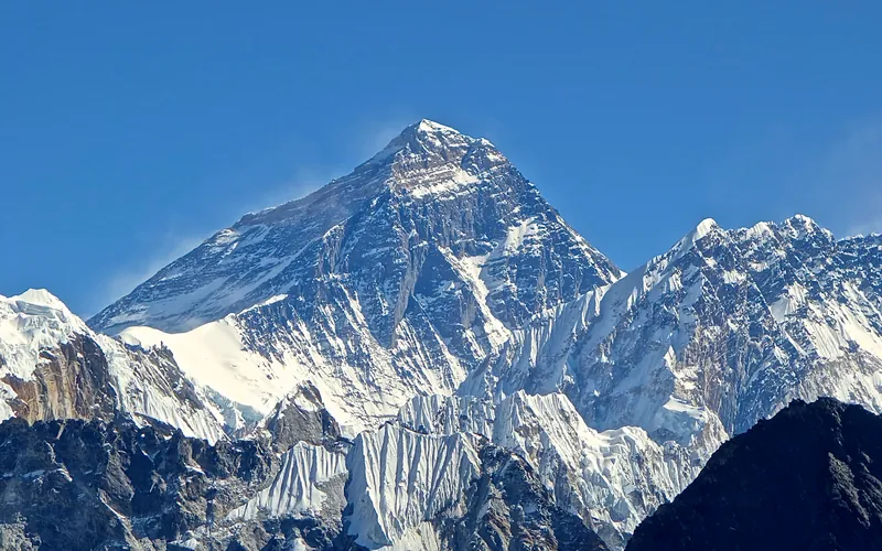
South Col & Southeast Ridge (Normal Route)
The South Col Route along the Southeast Ridge is the historic path of the 1953 first ascent and the most popular route on Mount Everest. Starting from Base Camp on the Khumbu Glacier in Nepal, climbers navigate the shifting seracs of the Khumbu Icefall into the Western Cwm. The route then scales the icy 45-degree slope of the Lhotse Face to the South Col at 7,925 meters, launching the final summit bid through the Balcony, South Summit, and Hillary Step to the summit of Earth at 8,848.86 meters.
Documented Expeditions (2)
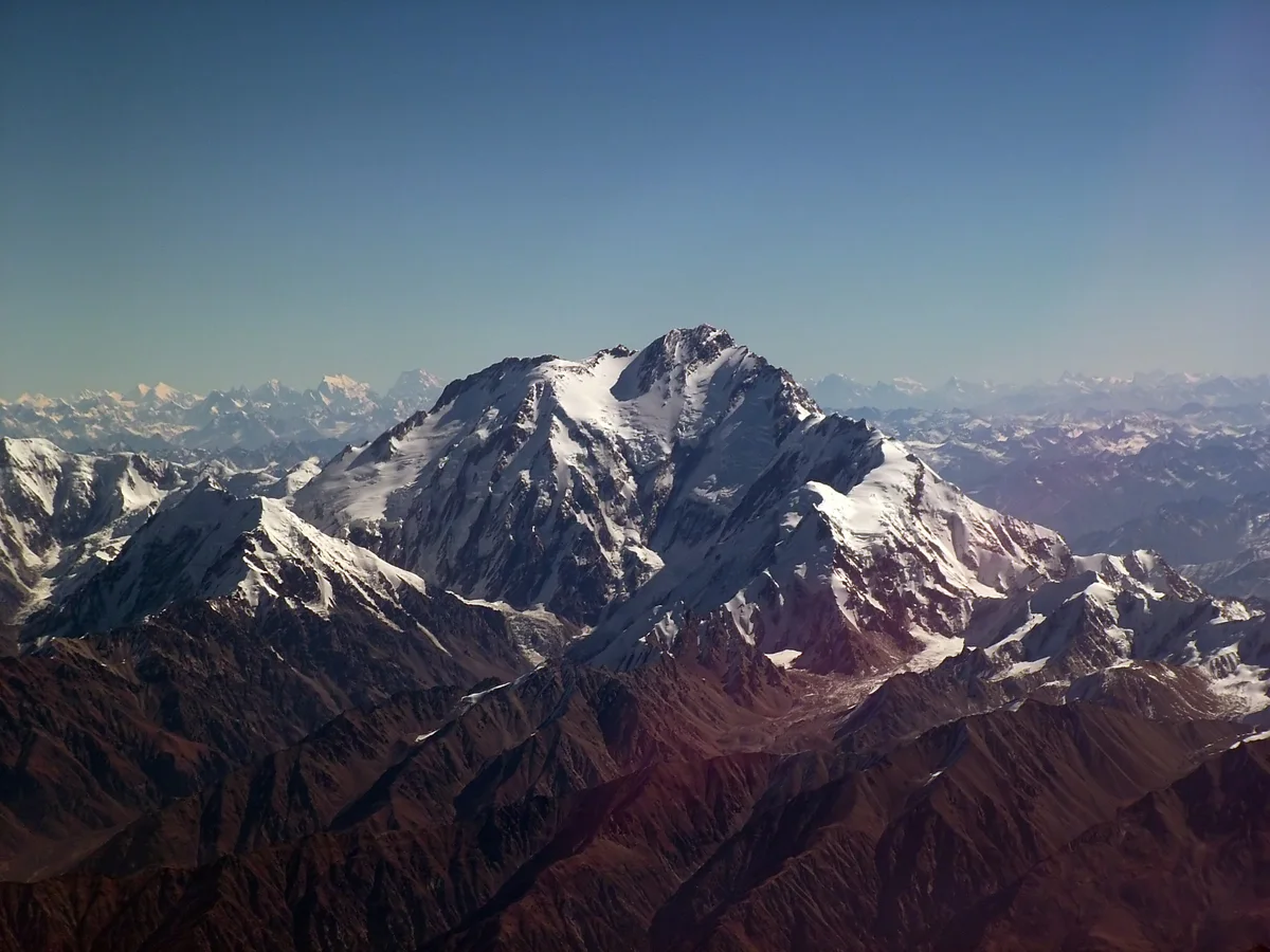
2012 Sandy Allan & Rick Allen Nanga Parbat Mazeno Ridge First Complete Ascent
In July 2012, British mountaineers Sandy Allan (age 56) and Rick Allen (age 57) completed the historic first full ascent of Nanga Parbat's 10-kilometre Mazeno Ridge in pure alpine style over eighteen grueling days, crossing eight 7,000m summits to reach the top.
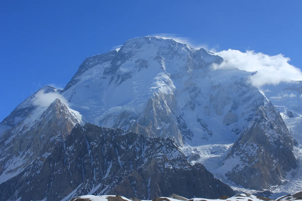
2018 Rick Allen Broad Peak Solo Ascent and Drone Rescue
In July 2018, 65-year-old Scottish veteran mountaineer Rick Allen fell hundreds of metres down the West Face of Broad Peak (8,051m) and was presumed dead, but miraculously survived thirty-six hours alone in the death zone until located by a pioneering camera drone piloted from K2 Base Camp.
Associated Chronicles & Stories (2)
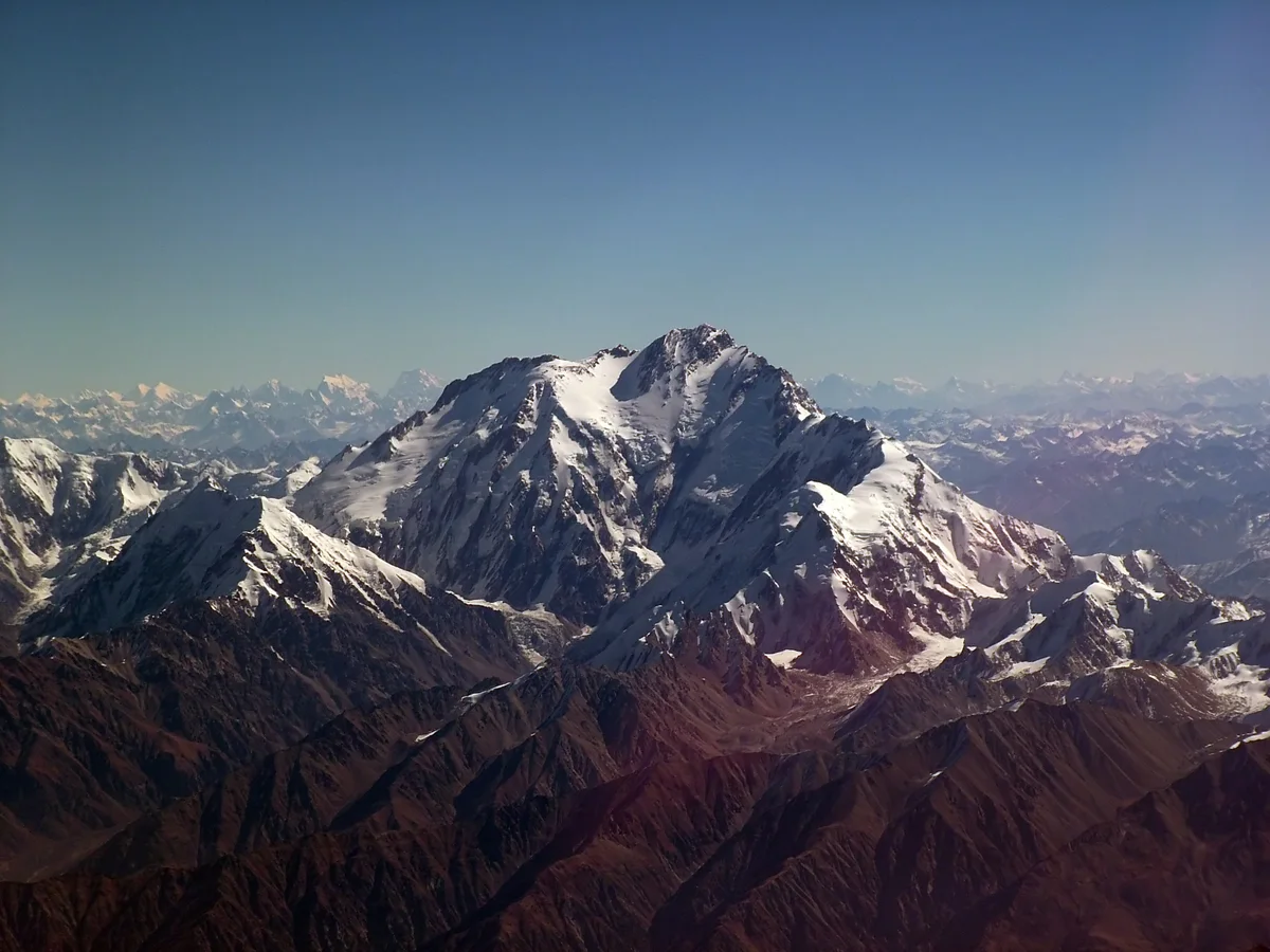
The Endless Horizon: Sandy Allan and the Eighteen-Day Mazeno Ridge Traverse
In July 2012, Scottish mountaineers Sandy Allan and Rick Allen conquered Nanga Parbat's 10-kilometre Mazeno Ridge in an eighteen-day alpine-style epic, winning the Piolet d'Or.
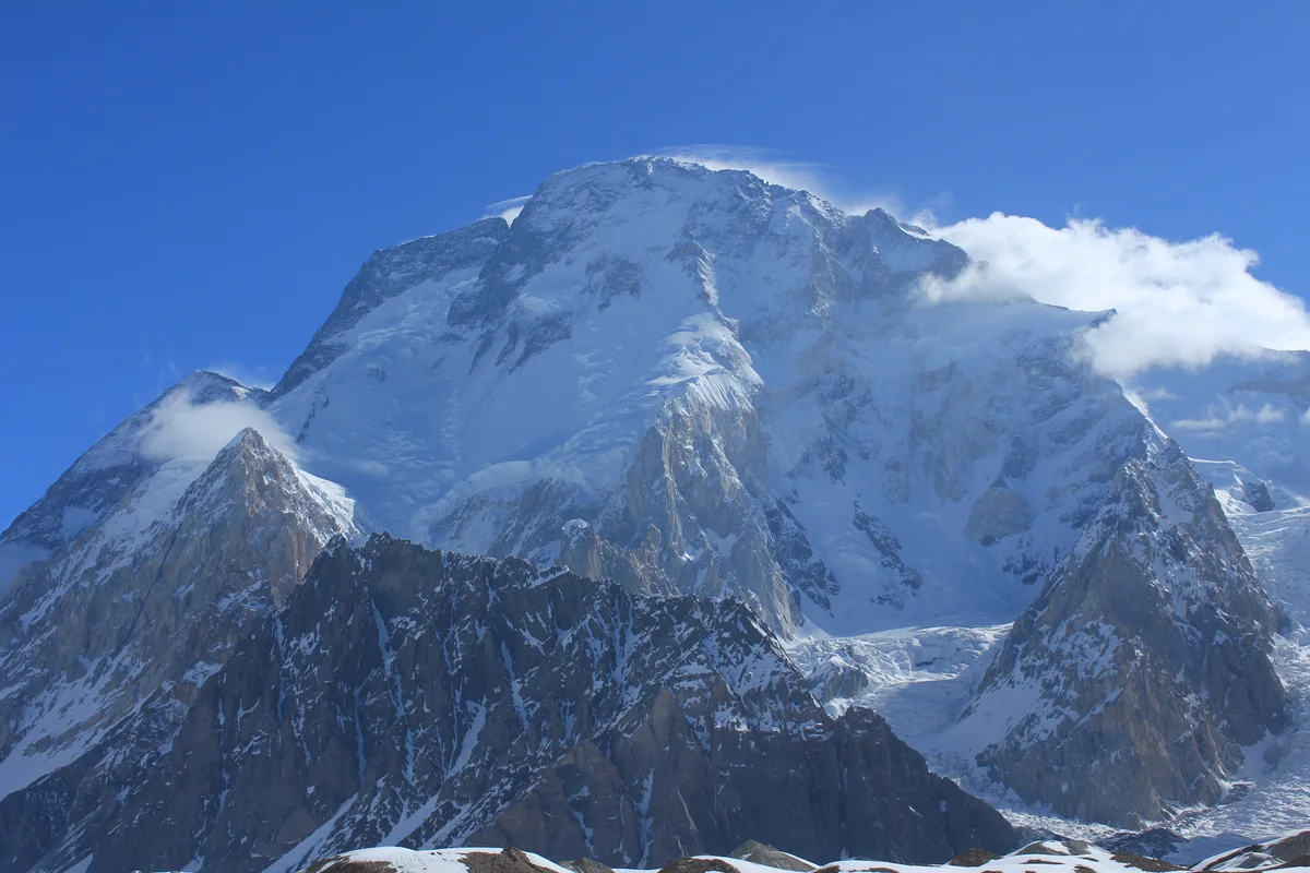
Found in the Sky: Rick Allen's Miracle Survival and Drone Rescue on Broad Peak
In July 2018, veteran Scottish climber Rick Allen fell hundreds of metres on Broad Peak and survived 36 hours in the death zone until located by a camera drone.
Documented Sources & Archival Citations
- American Alpine Journal: Nanga Parbat, Mazeno Ridge Complete Ascent(American Alpine Club)
Supporting claim: Official technical climb report of the 2012 Mazeno Ridge first complete ascent
Accessed/Documented: 2013 - The Himalayan Club: Rick Allen In Memoriam (1953–2021)(The Himalayan Journal)
Supporting claim: Obituary and historical tribute to Rick Allen's endurance and alpine ethics
Accessed/Documented: 2021