Cho Oyu Northwest Face & Ridge (Normal Route)
The Northwest Ridge is the standard and most climbed route on Cho Oyu, approached from the Tibetan plateau via the Gyabrag Glacier. First climbed in 1954 by an Austrian expedition, the route features relatively moderate snow slopes of 30 to 40 degrees, punctuated by a single prominent technical crux known as the Ice Cliff at 6,700m.
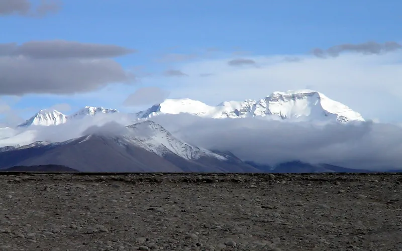
Ascent line, technical cruxes & camp topography profile for Cho Oyu Northwest Face & Ridge (Normal Route)
Mountain Safety & Conditions Disclaimer: High-altitude climbing, glacial travel, and technical ascents entail severe objective risks including avalanches, serac collapses, rapid weather collapse, and altitude illness. Historical route descriptions and summit claims on Mountanity reflect documented archival sources and must not be used as live operational safety assessments. Local regulations, permits, and physical glacial topography change continuously.
Peer Review: Senior Editorial Board & Historical Reviewers • Editorial Standards
Tactical & Camp Notes
While technically the most accessible 8,000m peak, extreme cold, altitude sickness, and disorienting summit whiteouts represent severe objective hazards on Cho Oyu.
Identified Objective Hazards
- •Treacherous hidden crevasses on the broad summit plateau during whiteouts
- •Extreme wind exposure sweeping unobstructed across the open Tibetan plateau
- •Acute mountain sickness from rapid elevation gains on gentle gradient slopes
- •Severe frostbite resulting from sub-zero temperatures dropping below -35°C
Interactive Elevation Profile
Vertical profile, technical cruxes, and camp staging progression for Cho Oyu Northwest Face & Ridge (Normal Route) on Cho Oyu.
Accessible by 4WD vehicles on the barren Tibetan plateau near Tingri.
Camp-by-Camp Topography
Key staging altitudes, technical cruxes, and terrain transitions for Cho Oyu Northwest Face & Ridge (Normal Route).
Chinese Base Camp
Accessible by 4WD vehicles on the barren Tibetan plateau near Tingri.
Advanced Base Camp (ABC)
Established at the foot of the Gyabrag Glacier below the massive northwest flank.
Camp I
Pitched at the top of a steep scree and talus moraine ridge on snow platforms.
The Ice Cliff & Camp II
Camp II sits immediately above the Ice Cliff, a 25-meter vertical wall of blue ice fixed with heavy lines.
Camp III
The high assault camp perched on a steep snow bench beneath the Yellow Band rock steps.
The Yellow Band & Plateau
A short, crumbly limestone rock band breached via snow ramps leading out onto the vast summit plateau.
Cho Oyu Summit
A broad, snow-covered crest offering staggering views across to Mount Everest and the Tibetan desert.
Topographic Location & Terrain Map
Cartographic datum, massif coordinates, and terrain context for Cho Oyu Northwest Face & Ridge (Normal Route) on Cho Oyu.
Interactive Topographic Terrain Map
Click below to load live cartographic contours, glacier approaches, and geographic markers for Cho Oyu (28°05′39″ N, 86°39′39″ E).
Key Statistics & Topographic Figures
- Route Type
- Standard / Normal Route
Topography
- Technical Difficulty
- Moderate High-Altitude / Grade III, AD
Alpine III, 35°-45° snow slopes, short 65° ice wall
- Country / Region
- China (Tibet Autonomous Region / Tingri)
Location
Archival Primary Source Quotations
“A mountain route is not merely a path of rock and ice; it is a test of human endurance, judgment, and humility.”
Defined Alpine Terminology & Concepts
- Crux
- The most difficult and technically demanding pitch or section of a climbing route.
- Normal Route (Voie Normale)
- The most frequently climbed, least technical, and historically standard path to a mountain summit.
Frequently Asked Questions: Cho Oyu Northwest Face & Ridge (Normal Route)
What is the climbing difficulty and grade of Cho Oyu Northwest Face & Ridge (Normal Route)?
Cho Oyu Northwest Face & Ridge (Normal Route) on cho-oyu is graded as Moderate High-Altitude / Grade III, AD, with technical climbing requirements including Alpine III, 35°-45° snow slopes, short 65° ice wall.
What are the primary hazards on the Cho Oyu Northwest Face & Ridge (Normal Route)?
Climbers on Cho Oyu Northwest Face & Ridge (Normal Route) must navigate severe objective hazards including Treacherous hidden crevasses on the broad summit plateau during whiteouts, Extreme wind exposure sweeping unobstructed across the open Tibetan plateau, Acute mountain sickness from rapid elevation gains on gentle gradient slopes, Severe frostbite resulting from sub-zero temperatures dropping below -35°C.
What camps are established on Cho Oyu Northwest Face & Ridge (Normal Route)?
Cho Oyu Northwest Face & Ridge (Normal Route) typically features 7 staging camps, progressing from Chinese Base Camp (4900m) up toward the summit.
Mountain Ascended
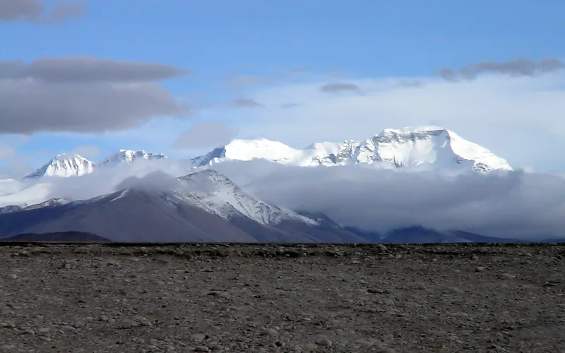


Cho Oyu
Cho Oyu, at 8,188 meters (26,864 ft), is the sixth-highest mountain in the world, situated 20 km west of Mount Everest. Meaning 'Turquoise Goddess' in Tibetan, it stands on the glaciated Nangpa La trade route between Nepal and Tibet. Its moderate northwest slopes make it the most accessible 8,000-meter peak.
Documented Expeditions on this Route (4)
Verified historical summits, siege campaigns, and pioneer attempts recorded on Cho Oyu Northwest Face & Ridge (Normal Route).
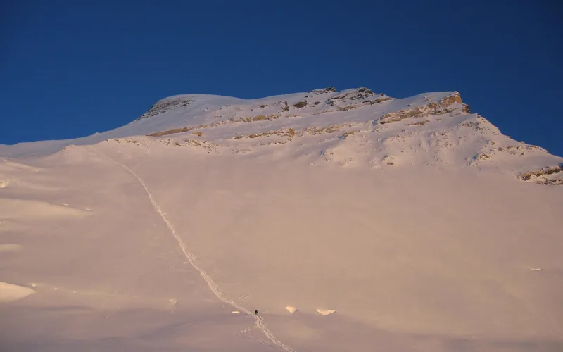
1954 Austrian Cho Oyu Expedition
Organized on a modest private budget by Austrian geologist Herbert Tichy, this landmark small-team expedition made the first ascent of Cho Oyu (8,188m) on October 19, 1954, without supplemental oxygen, pioneering lightweight post-monsoon Himalayan climbing.
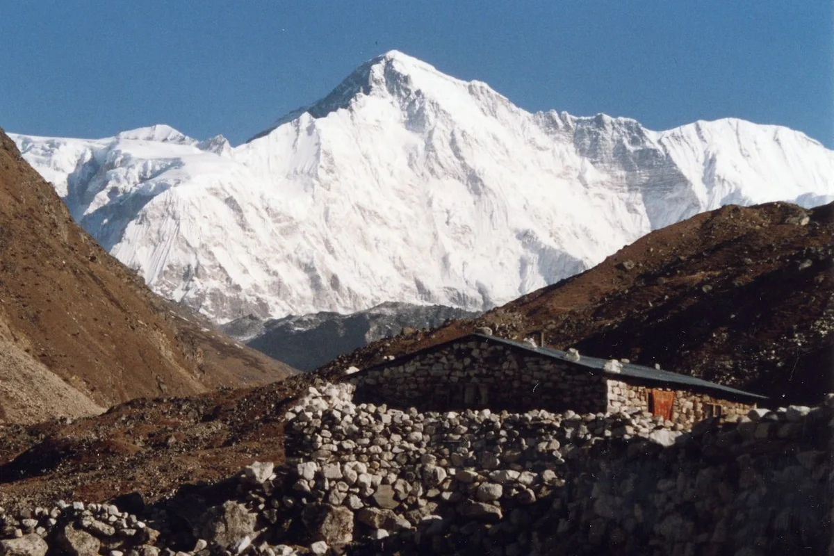
1985 Polish Cho Oyu Winter First Ascent
On February 12, 1985, Polish mountaineers Maciej Berbeka and Krzysztof Pankiewicz accomplished the historic first winter ascent of Cho Oyu (8,188m), pioneering a demanding new technical line via the Southwest Buttress in brutal sub-zero storms.
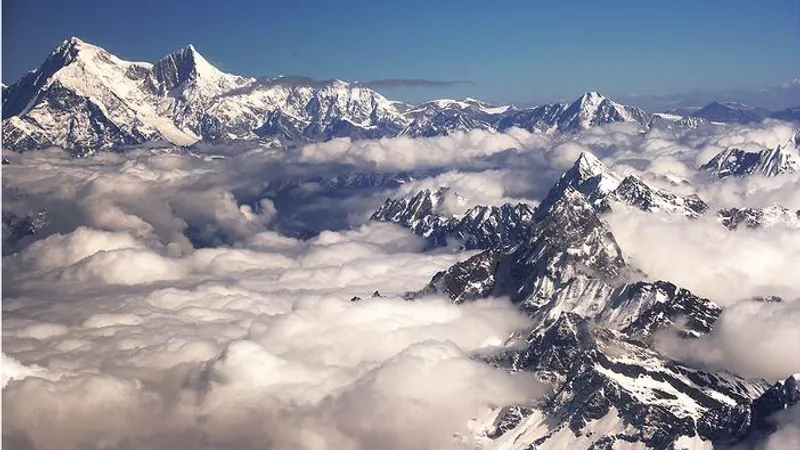
Project Possible 14/7: The 189-Day 14-Peak Odyssey
Led by former British Gurkha and Special Boat Service (SBS) operator Nirmal 'Nimsdai' Purja MBE, Project Possible 14/7 shattered the world speed record by summiting all fourteen 8,000-meter peaks in 6 months and 6 days (189 days), smashing the prior record of nearly eight years.
2019 Nirmal Purja Cho Oyu Expedition
Nirmal Purja launched the final phase of Project Possible by summiting Cho Oyu (8,188m) via the Northwest Ridge from Tibet on September 23, 2019, securing his twelfth 8,000-meter peak.
Archival Chronicles & Stories on this Route (4)
In-depth longform historical narratives, harrowing survival accounts, and firsthand alpine journals on Cho Oyu Northwest Face & Ridge (Normal Route).
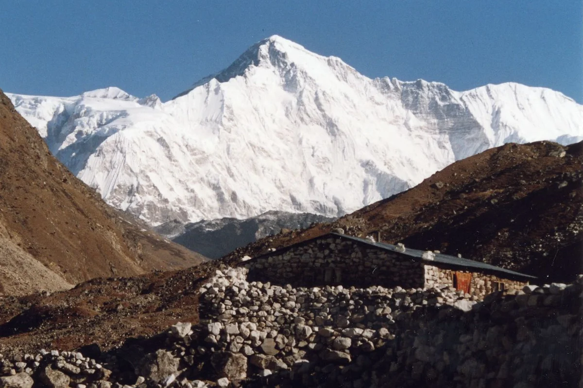
The Ice Warriors on the Turquoise Goddess: The 1985 Winter Ascent of Cho Oyu
On February 12, 1985, Polish mountaineers Maciej Berbeka and Krzysztof Pankiewicz accomplished the historic first winter ascent of Cho Oyu (8,188m) via a new technical Southwest Buttress.
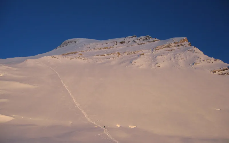
Cho Oyu 1954: The Lightweight Triumph of Tichy, Jöchler, and Pasang Dawa Lama
On October 19, 1954, a tiny three-man Austrian team conquered Cho Oyu (8,188m) without supplemental oxygen in autumn, proving 8,000-meter giants could be climbed in lightweight alpine style.
Cho Oyu: Opening the Final Tibetan Phase of the Project
Nirmal Purja attacks Cho Oyu from Tibet, conquering the Turquoise Goddess at lightning speed to launch Phase Three.
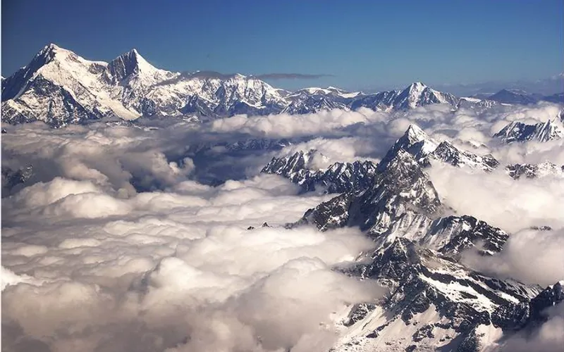
Project Possible 14/7: The 189-Day Himalayan Odyssey
How Nirmal 'Nimsdai' Purja and his Nepali team climbed all fourteen 8,000-meter peaks in 189 days, redefining the boundaries of human endurance.