Project Possible 14/7: The 189-Day 14-Peak Odyssey
Led by former British Gurkha and Special Boat Service (SBS) operator Nirmal 'Nimsdai' Purja MBE, Project Possible 14/7 shattered the world speed record by summiting all fourteen 8,000-meter peaks in 6 months and 6 days (189 days), smashing the prior record of nearly eight years.
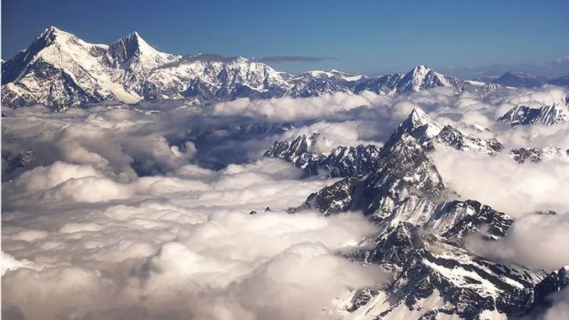
Mountain Safety & Conditions Disclaimer: High-altitude climbing, glacial travel, and technical ascents entail severe objective risks including avalanches, serac collapses, rapid weather collapse, and altitude illness. Historical route descriptions and summit claims on Mountanity reflect documented archival sources and must not be used as live operational safety assessments. Local regulations, permits, and physical glacial topography change continuously.
Peer Review: Senior Editorial Board & Historical Reviewers • Editorial Standards
Official Expedition Narrative & Archival Record
Launched on April 23, 2019 on Annapurna I, Project Possible unfolded across three high-intensity operational phases. Phase 1 conquered Nepal's giants: Annapurna, Dhaulagiri, Kangchenjunga, Everest, Lhotse, and Makalu (completing Everest, Lhotse, and Makalu in an astonishing 48-hour window). Phase 2 swept Pakistan's Karakoram titans: Nanga Parbat, Gasherbrum I, Gasherbrum II, K2, and Broad Peak in July. Phase 3 resolved diplomatic hurdles in Tibet to secure Cho Oyu, Manaslu, and finally Shishapangma on October 29, 2019. Throughout the project, Purja and his Nepali team conducted daring high-altitude rescues, including the life-saving rescue of Dr. Chin Kin Wah on Annapurna.
Documented Team Composition
- Nirmal Purja MBE (Expedition Leader)
- Mingma David Sherpa
- Geljen Sherpa
- Lakpa Dendi Sherpa
- Gesman Tamang
- Halung Kabba
Key Statistics & Topographic Figures
- Official Outcome
- Unprecedented World Record: 14x 8,000m Peaks in 189 Days
Expedition Status
- Summit Date
- 2019-10-29
Ascent Timestamp
- Target Objective
- annapurna-1, dhaulagiri, kangchenjunga, mount-everest, lhotse, makalu, nanga-parbat, gasherbrum-1, gasherbrum-2, k2, broad-peak, cho-oyu, manaslu, shishapangma
Mountain Peak
- Ascent Route
- annapurna-north-face, dhaulagiri-northeast-ridge, kangchenjunga-southwest-face, south-col-route, lhotse-normal-route, makalu-normal-route, kinshofer-route, gasherbrum-1-normal, gasherbrum-2-southwest-ridge, abruzzi-spur, broad-peak-normal, cho-oyu-normal-route, manaslu-northeast-face, shishapangma-normal-route
Climbing Path
- Team Size
- 6 Climbers
High-Altitude Team
- Region / Country
- Nepal (Himalaya & Karakoram (Nepal, Pakistan, China))
Geography
Archival Primary Source Quotations
“Launched on April 23, 2019 on Annapurna I, Project Possible unfolded across three high-intensity operational phases. Phase 1 conquered Nepal's giants: Annapurna, Dhaulagiri, Kangch...”
Defined Alpine Terminology & Concepts
- Alpine Expedition
- A planned, self-contained high-altitude mountaineering undertaking operating in remote mountain terrain subject to extreme objective hazards.
- Death Zone
- The high-altitude region above 8,000 meters where atmospheric oxygen pressure is inadequate for sustained human survival.
Frequently Asked Questions: Project Possible 14/7: The 189-Day 14-Peak Odyssey
What was the primary outcome and achievement of the Project Possible 14/7: The 189-Day 14-Peak Odyssey?
Unprecedented World Record: 14x 8,000m Peaks in 189 Days. Led by former British Gurkha and Special Boat Service (SBS) operator Nirmal 'Nimsdai' Purja MBE, Project Possible 14/7 shattered the world speed record by summiting all fourteen 8,000-meter peaks in 6 months and 6 days (189 days), smashing the prior record of nearly eight years.
When did the Project Possible 14/7: The 189-Day 14-Peak Odyssey reach the summit?
The expedition officially reached the summit on 2019-10-29, operating between 2019-04-23 and 2019-10-29.
Who were the documented climbing team members on the Project Possible 14/7: The 189-Day 14-Peak Odyssey?
The documented climbing roster included: Nirmal Purja MBE (Expedition Leader), Mingma David Sherpa, Geljen Sherpa, Lakpa Dendi Sherpa, Gesman Tamang, Halung Kabba.
What climbing route and mountain objective were tackled during the Project Possible 14/7: The 189-Day 14-Peak Odyssey?
The expedition tackled annapurna-1, dhaulagiri, kangchenjunga, mount-everest, lhotse, makalu, nanga-parbat, gasherbrum-1, gasherbrum-2, k2, broad-peak, cho-oyu, manaslu, shishapangma via the annapurna-north-face, dhaulagiri-northeast-ridge, kangchenjunga-southwest-face, south-col-route, lhotse-normal-route, makalu-normal-route, kinshofer-route, gasherbrum-1-normal, gasherbrum-2-southwest-ridge, abruzzi-spur, broad-peak-normal, cho-oyu-normal-route, manaslu-northeast-face, shishapangma-normal-route in Nepal (Himalaya & Karakoram (Nepal, Pakistan, China)).
How are the records and summit claims of the Project Possible 14/7: The 189-Day 14-Peak Odyssey verified?
Summit claims, route topography, and timeline logs for the Project Possible 14/7: The 189-Day 14-Peak Odyssey are cross-referenced with official alpine registries, national mountaineering federations, and primary expedition journals.
Ascent Route & Topography
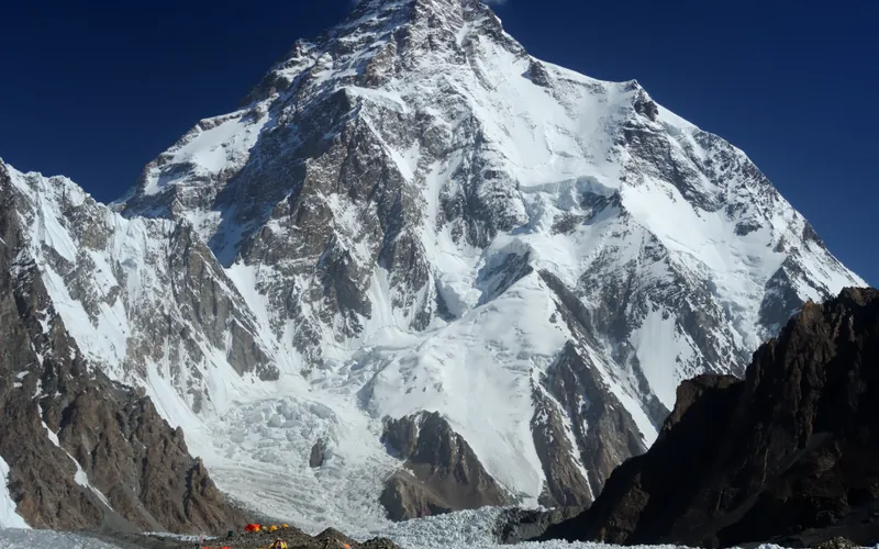
Abruzzi Spur (Southeast Ridge)
The Abruzzi Spur is the most famous and frequently climbed route on K2, tracing the mountain's steep southeast ridge from the Godwin-Austen Glacier to the summit. First explored in 1909 by Prince Luigi Amedeo, Duke of the Abruzzi, it was successfully climbed to the summit in 1954 by an Italian team. The route requires extreme physical endurance and high-grade technical climbing on rock, ice, and mixed terrain through legendary cruxes like House's Chimney, the Black Pyramid, and the Bottleneck couloir.
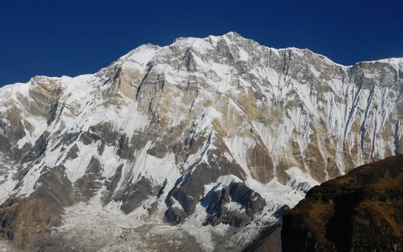
Annapurna I North Face (Herzog-Lachenal Route)
The North Face of Annapurna I is the historic first route ever climbed on an 8,000-meter peak, pioneered by French climbers Maurice Herzog and Louis Lachenal on June 3, 1950. Approached via the remote Miristi Khola valley, the route ascends the shattered North Annapurna Glacier, negotiates the terrifying avalanche-swept Sickle Glacier serac wall, and ascends steep snow gullies along the French Rib to gain the 8,091m summit.
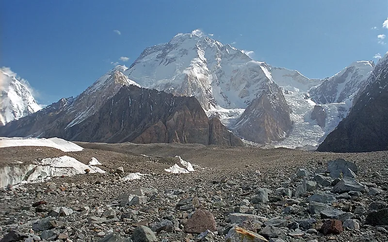
Normal Route (West Ridge & Northwest Face)
The Normal Route on Broad Peak ascends the rugged western spur from the Godwin-Austen Glacier, navigating steep mixed rock ribs before entering the upper glacial basin beneath the high saddle (the Col). From the Col at 7,800 meters, climbers enter the Death Zone to tackle the long, corniced summit ridge leading across the Foresummit to the true summit at 8,051 meters. First conquered in 1957 by an Austrian team in lightweight alpine style without bottled oxygen, and climbed in 1982 by Reinhold Messner, Nazir Sabir, and Sher Khan in a groundbreaking rapid alpine push.
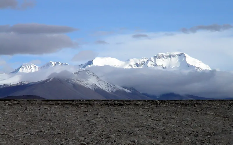
Cho Oyu Northwest Face & Ridge (Normal Route)
The Northwest Ridge is the standard and most climbed route on Cho Oyu, approached from the Tibetan plateau via the Gyabrag Glacier. First climbed in 1954 by an Austrian expedition, the route features relatively moderate snow slopes of 30 to 40 degrees, punctuated by a single prominent technical crux known as the Ice Cliff at 6,700m. Above Camp 3, climbers cross the Yellow Band and emerge onto a vast, gently rising summit plateau.
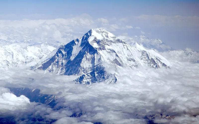
Dhaulagiri I Northeast Ridge (Normal Route)
The Northeast Ridge is the standard climbing route on Dhaulagiri I, first ascended in 1960 by a Swiss-Austrian team. The route begins on the glaciated Mayangdi Khola valley, climbs to the Northeast Col (5,700m), and works its way up the mountain's north-northeast face. The upper section traverses steep, wind-scoured blue ice shelves below the summit rocks and negotiates a final, exposed couloir leading directly to the 8,167m summit.
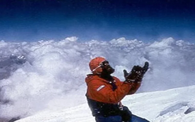
Northwest Face & Japanese Couloir (Normal Route)
The Northwest Face via the Japanese Couloir is the standard and most frequently climbed line on Gasherbrum I (8,068m / Hidden Peak). Starting from the South Gasherbrum Glacier, climbers traverse the shared lower icefall into the Gasherbrum Cwm, then branch southward toward the forbidding northwest wall. The technical centerpiece is the Japanese Couloir—a sustained 50 to 60-degree gully of hard blue ice and shattered rock leading to the high col and summit slopes. First ascended in 1958 by Americans Pete Schoening and Andy Kauffman via the South Ridge, the Japanese Couloir line became the modern benchmark, climbed rapidly in 1992 by Nazir Sabir, Rajab Shah, and Mehrban Shah.
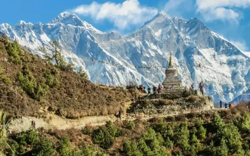
Southwest Ridge (Normal Route)
The Southwest Ridge is the standard and historically celebrated route on Gasherbrum II (8,035m). Starting from the South Gasherbrum Glacier, climbers navigate the heavily crevassed lower icefall into the Gasherbrum Cwm before tackling the technical crux of the route: the steep mixed snow and ice crest known as the Banana Ridge. Above Camp III, the route traverses expansive snow basins into the Death Zone, making a final push up a delicate diagonal couloir to the summit. First climbed in 1956 by an Austrian team, and completed in rapid alpine style in 1982 by Reinhold Messner, Nazir Sabir, and Sher Khan.
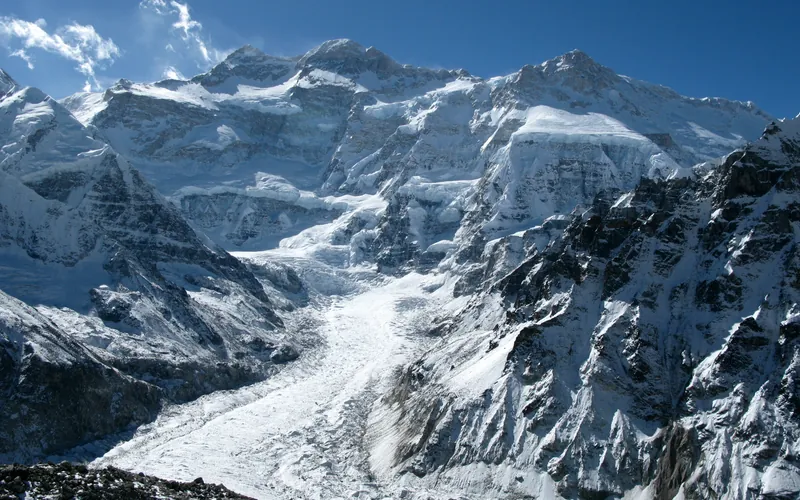
Kangchenjunga Southwest Face (Normal Route)
The Southwest Face route is the classic line of ascent on Kangchenjunga, climbing out of the Yalung Glacier cirque in eastern Nepal. First forged in 1955 by British mountaineers Joe Brown and George Band, the route negotiates heavily broken glacial icefalls, ascends the vast hanging snow terrace of The Great Shelf, and threads steep rock gullies in the Sickle Couloir before reaching the delicate summit crest.
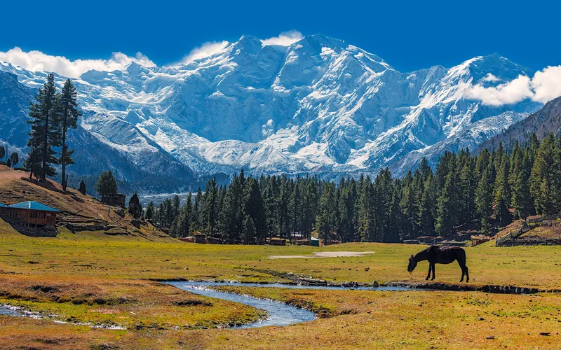
Kinshofer Route (Diamir Face)
The Kinshofer Route is the standard climbing route up the Diamir Face on Nanga Parbat's western side. First climbed in 1962 by German mountaineer Toni Kinshofer and his teammates, it is famous for its early vertical crux, the Kinshofer Wall, which sits low on the mountain between Camp I and Camp II. Once past the wall, climbers face a massive glaciated amphitheater leading up into the freezing upper Bazhin Basin and summit shoulder.
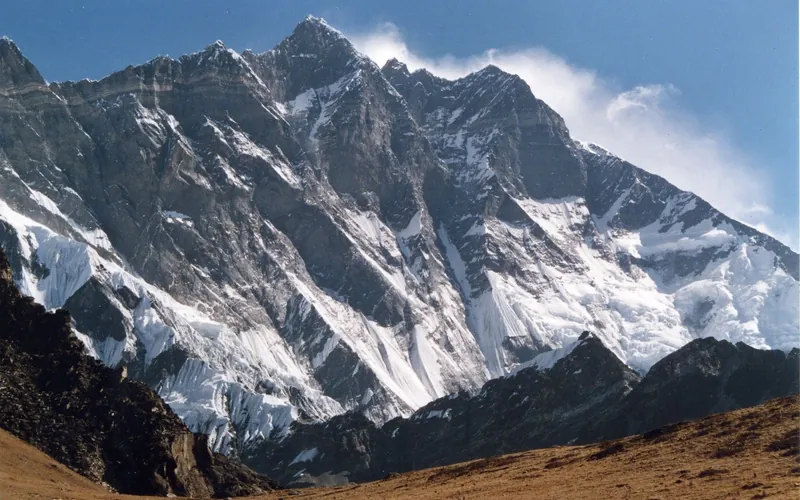
Lhotse Normal Route (West Face & Couloir)
The Normal Route on Lhotse shares the Everest South Col route through the treacherous Khumbu Icefall and across the Western Cwm up to Camp 3 on the Lhotse Face (7,200m). Beyond the Yellow Band, the route splits right from the South Col route and ascends directly into the notorious Lhotse Couloir—a narrow, 500-meter vertical gully of 45-to-50-degree hard blue ice funneling into the 8,516m summit.
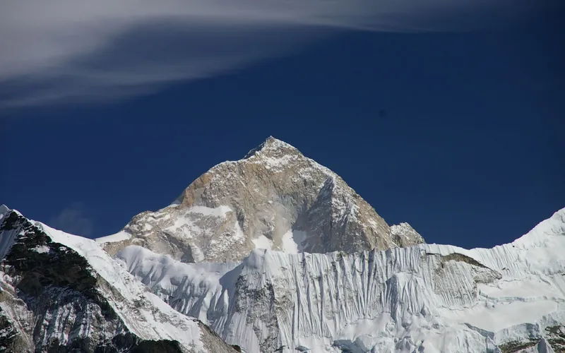
Makalu Northwest Ridge (French Route)
The Northwest Ridge is the classic pioneering line on Makalu, first opened by the historic French expedition of 1955. From Advanced Base Camp on the Chago Glacier, climbers ascend steep snow and ice fields to gain Makalu La (7,400m), a high, wind-blasted col connecting Makalu to Kangchungtse. Above Makalu La, the route climbs through the technical French Couloir—a mixed corridor of steep ice and broken granite—before emerging onto the exposed summit crest.
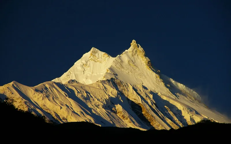
Manaslu Northeast Face (Normal Route)
The Northeast Face is the standard route on Manaslu, first forged in 1956 by a Japanese expedition. Ascending from the Manaslu Glacier above the village of Samagaon, the route climbs through an active, heavily crevassed icefall between Camps 1 and 2, traverses wide snow plateaus up to Camp 4, and culminates in a delicate, exposed knife-edge snow arête leading to the true summit pin.
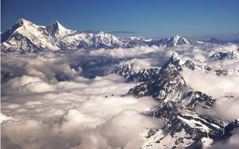
Shishapangma Northwest Ridge (Normal Route)
The Northwest Ridge is the standard route on Shishapangma, situated entirely in Tibet and first ascended by a Chinese expedition in 1964. Approached from the dry, high-altitude plateau of southern Tibet, the route climbs gently sloping glaciers to an upper plateau, gains the Central Peak (8,008m), and traverses a knife-edge snow arête with massive drop-offs to reach the true Main Summit at 8,027m.
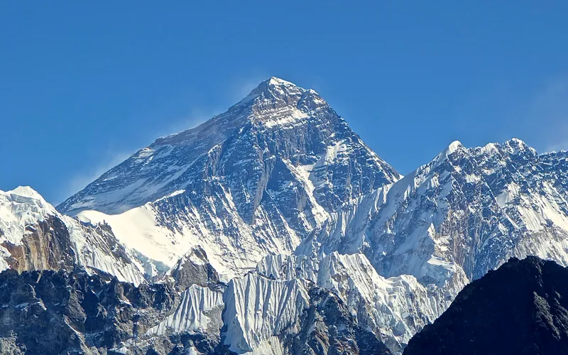
South Col & Southeast Ridge (Normal Route)
The South Col Route along the Southeast Ridge is the historic path of the 1953 first ascent and the most popular route on Mount Everest. Starting from Base Camp on the Khumbu Glacier in Nepal, climbers navigate the shifting seracs of the Khumbu Icefall into the Western Cwm. The route then scales the icy 45-degree slope of the Lhotse Face to the South Col at 7,925 meters, launching the final summit bid through the Balcony, South Summit, and Hillary Step to the summit of Earth at 8,848.86 meters.
Target Objective Peaks
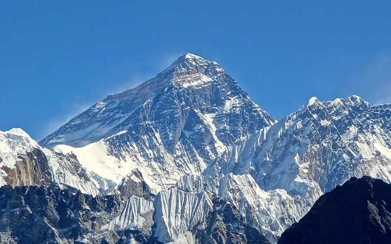


Mount Everest
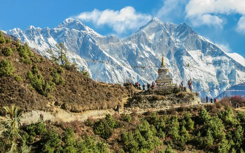
Mount Everest is the highest mountain above sea level on Earth, standing at an official elevation of 8,848.86 meters (29,031.7 ft). Straddling the international frontier between Nepal and China, it is known locally as Sagarmatha in Nepali ('Goddess of the Sky') and Chomolungma in Tibetan ('Mother Goddess of the World'). The peak rises into the extreme upper troposphere, where oxygen levels drop to barely one-third of sea-level pressure. Climbers face hurricane-force jet stream winds, severe frostbite conditions, shifting ice crevasses in the Khumbu Icefall, and the dangerous Death Zone above 8,000 meters.

K2
K2, at 8,611 meters (28,251 ft), is the second-highest mountain on Earth and widely regarded as the most technically demanding and lethal 8,000-meter peak. Located in the heart of the Karakoram on the border between Pakistan and China, K2 is characterized by sheer relief, severe weather anomalies, and persistent objective hazards including the notorious Bottleneck couloir.
Kangchenjunga
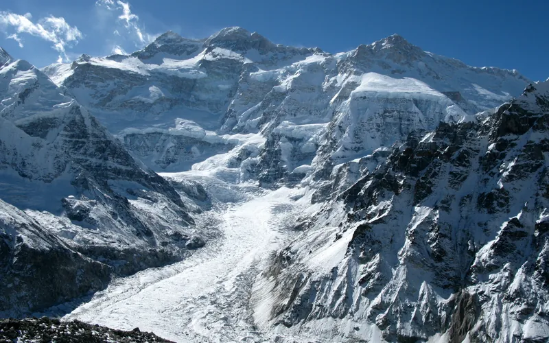
Kangchenjunga, at 8,586 meters (28,169 ft), is the third-highest mountain on Earth, rising on the border between Nepal and Sikkim, India. Honored as sacred by locals, early ascent teams respected local beliefs by stopping short of the actual highest crest. It features immense vertical relief and notorious storm cycles.
Lhotse
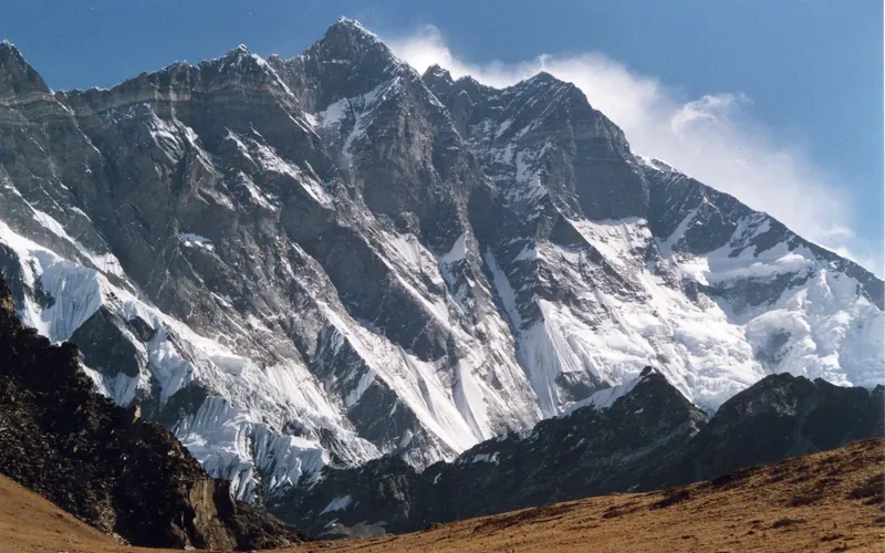
Lhotse, at 8,516 meters (27,940 ft), is the fourth-highest mountain on Earth, connected directly to Mount Everest via the South Col. Renowned for its sheer 3,200-meter South Face, one of the most imposing rock and ice walls in alpinism, the standard route tackles the grueling Lhotse Couloir from the Western Cwm.
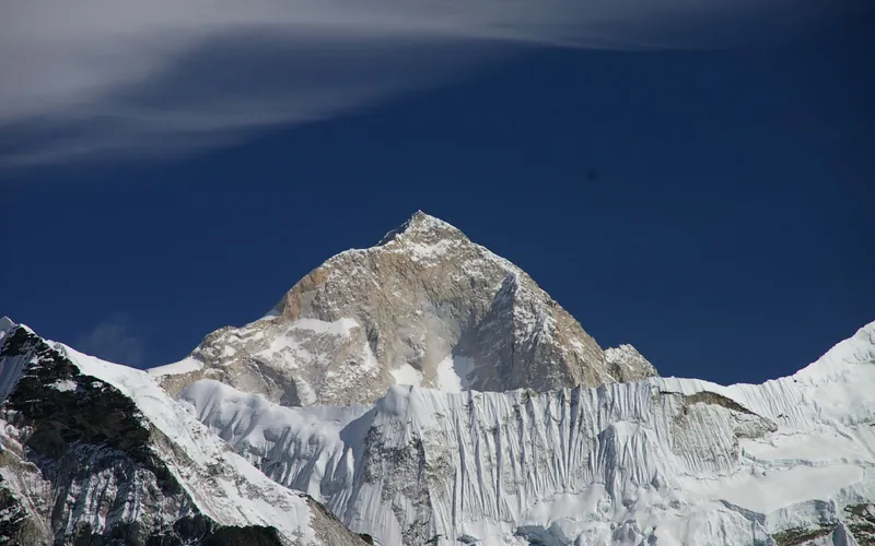
Makalu
Makalu, at 8,485 meters (27,838 ft), is the fifth-highest mountain on Earth, located 19 km southeast of Mount Everest. An isolated four-sided granite pyramid, it is known for technical knife-edge ridges, severe exposure, and punishing weather, making it one of the most challenging eight-thousanders.
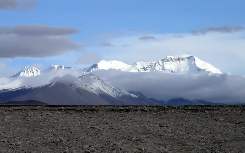
Cho Oyu
Cho Oyu, at 8,188 meters (26,864 ft), is the sixth-highest mountain in the world, situated 20 km west of Mount Everest. Meaning 'Turquoise Goddess' in Tibetan, it stands on the glaciated Nangpa La trade route between Nepal and Tibet. Its moderate northwest slopes make it the most accessible 8,000-meter peak.
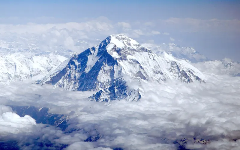
Dhaulagiri I
Dhaulagiri I, at 8,167 meters (26,795 ft), is the seventh-highest mountain on Earth and the highest peak situated entirely within Nepal. Rising steeply above the Kali Gandaki Gorge—the deepest gorge on Earth—opposite Annapurna, Dhaulagiri forms a staggering 7,000-meter vertical rise from the river valley.
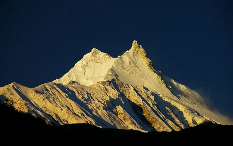
Manaslu
Manaslu, at 8,163 meters (26,781 ft), is the eighth-highest mountain in the world, situated in the Mansiri Himal of west-central Nepal. Known as the 'Mountain of the Spirit', its long ridges and valley glaciers offer dramatic topography culminating in a delicate, exposed knife-edge summit crest.
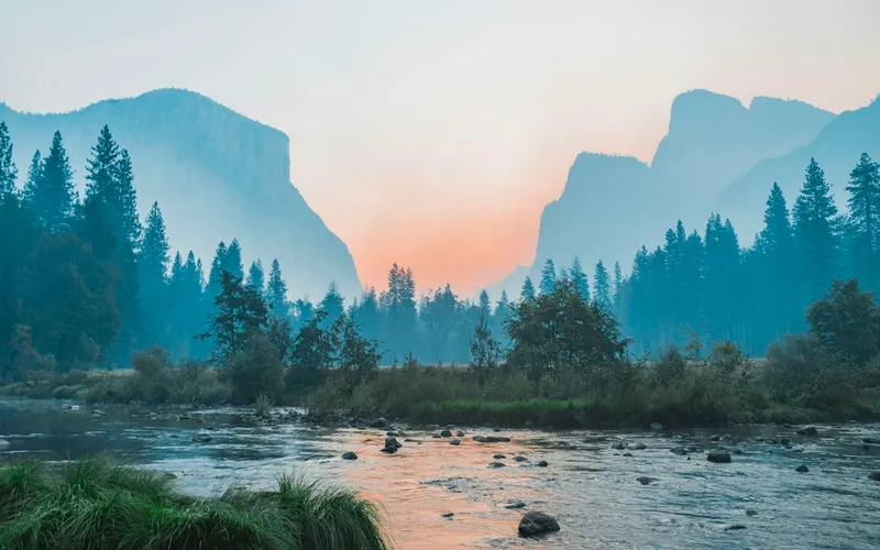
Nanga Parbat
Nanga Parbat, at 8,126 meters (26,660 ft), is the ninth-highest mountain on Earth and the western anchor of the Himalayas in Pakistan. It boasts the Rupal Face, the highest vertical precipice in the world at 4,600 meters from valley floor to summit. Known for profound climbing history, highlighted by Hermann Buhl's legendary solo summit without supplemental oxygen in 1953.
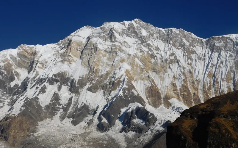
Annapurna I
Annapurna I, at 8,091 meters (26,545 ft), is the tenth-highest mountain in the world and historically the first 8,000-meter peak ever summited (June 3, 1950 by Maurice Herzog and Louis Lachenal). Rising above the Annapurna Sanctuary, its north and south walls present extreme avalanche and serac fall hazards.
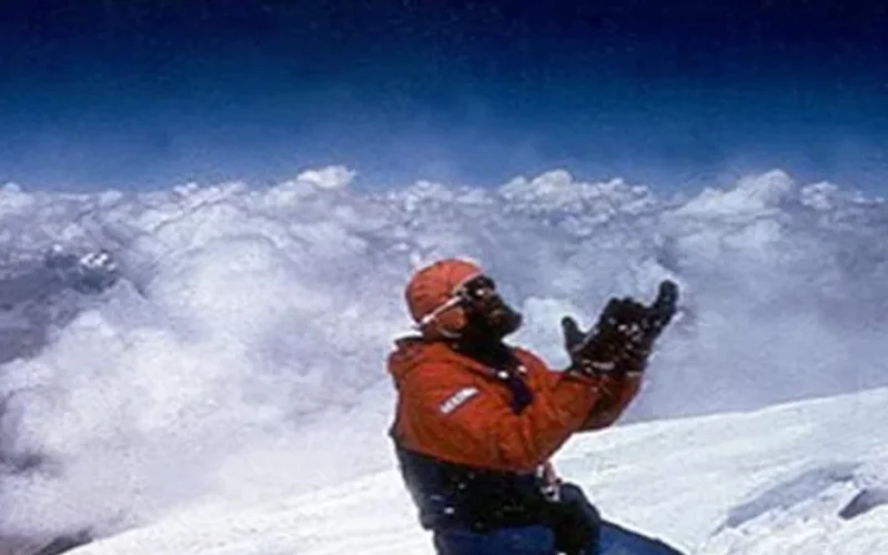
Gasherbrum I
Gasherbrum I, at 8,068 meters (26,470 ft), is the eleventh-highest mountain in the world. Named 'Hidden Peak' by explorer William Martin Conway due to its concealment behind surrounding Karakoram giants, it stands on the border between Pakistan and China. The peak was first climbed in 1958 by an American team led by Nick Clinch, and in 1992 Nazir Sabir summited it with Rajab Shah and Mehrban Shah, marking his fourth Pakistani eight-thousander.
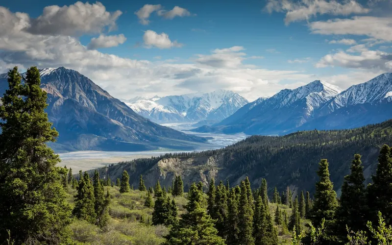
Broad Peak
Broad Peak, at 8,051 meters (26,414 ft), is the twelfth-highest mountain in the world. Located in the Karakoram directly across the Godwin-Austen Glacier from K2, it is famous for its 1.5-kilometre-long summit crest. First climbed in lightweight alpine style without supplemental oxygen or high-altitude porters in 1957 by an Austrian team.
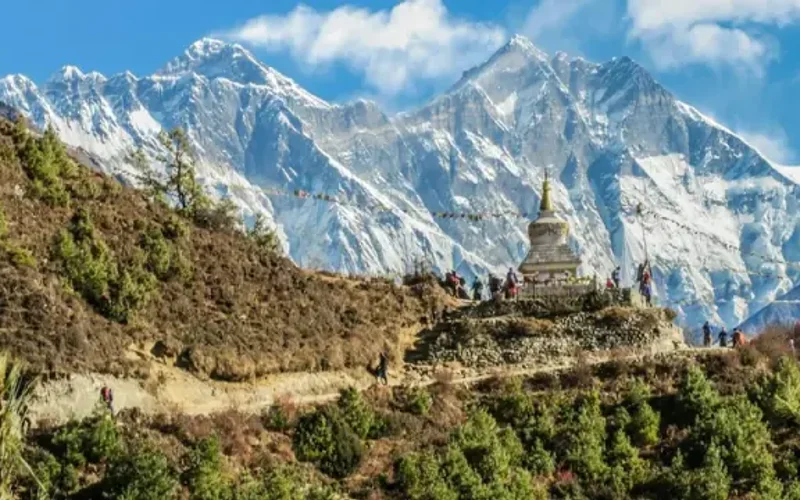
Gasherbrum II
Gasherbrum II, standing at 8,035 meters (26,362 ft), is the thirteenth-highest mountain on Earth and the third-highest peak of the Gasherbrum massif in the Karakoram. Located at the head of the Baltoro Glacier on the Pakistan-China frontier, it features a classic pyramidal profile with challenging ice couloirs. First summited in 1956 by an Austrian team, it was famously climbed in pure alpine style in 1982 by Reinhold Messner, Nazir Sabir, and Sher Khan.
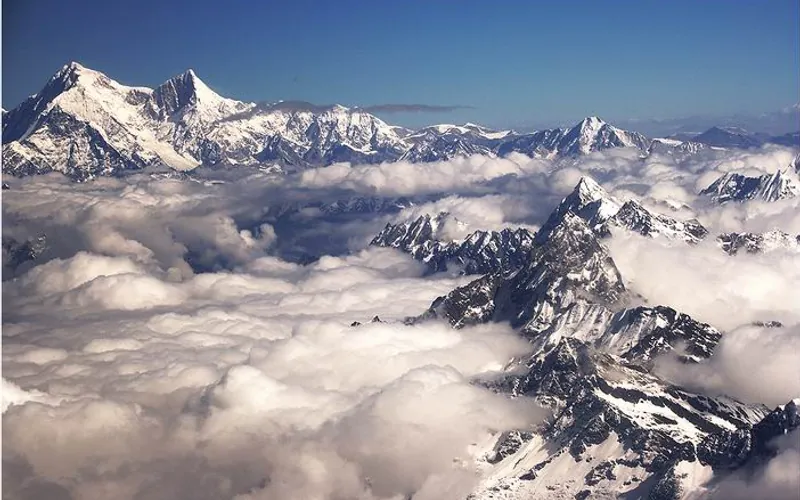
Shishapangma
Shishapangma, at 8,027 meters (26,335 ft), is the fourteenth-highest mountain on Earth and the only 8,000-meter peak situated entirely within Tibetan/Chinese territory. Due to geopolitical restrictions, it was the final eight-thousander to be climbed, summited by a Chinese expedition on May 2, 1964.
Featured Expedition Climber
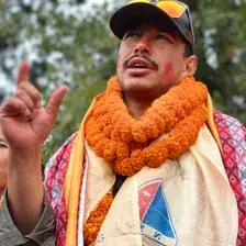
Nirmal Purja
Nirmal 'Nimsdai' Purja was born on July 25, 1983, in Dana, a small village in the Myagdi District of western Nepal. Raised in Chitwan in the southern lowlands, he dreamed from childhood of military service. In 2003, at age nineteen, he joined the legendary British Brigade of Gurkhas, serving with distinction before becoming, in 2009, the first Gurkha to pass the grueling selection for the UK Special Forces' elite Special Boat Service (SBS). Across nearly a decade of classified combat operations as a cold-weather warfare specialist, Purja honed the extreme mental grit, physiological stamina, and high-stakes operational planning that would subsequently transform high-altitude mountaineering. Purja's climbing journey began during military leave in 2012 when, with zero prior mountaineering experience, he trekked to Everest Base Camp and summited Lobuche East (6,119m). In 2014, he achieved his first 8,000-meter summit on Dhaulagiri I after just fifteen days of acclimatization. In 2016 and 2017, he led Gurkha expeditions to Mount Everest, summiting twice and pioneering fast-rotation tactics. Recognising his extraordinary high-altitude physiology, Queen Elizabeth II appointed Purja a Member of the Most Excellent Order of the British Empire (MBE) in 2018 for outstanding achievements in extreme high-altitude mountaineering. Months later, he resigned from the Special Forces just years short of a guaranteed lifetime military pension to pursue a lifelong dream that seasoned alpine authorities deemed impossible. In 2019, Purja launched 'Project Possible 14/7'—a mission to summit all fourteen of the world's 8,000-meter 'death zone' peaks in just seven months, shattering the previous world record of seven years, ten months, and six days set by Kim Chang-ho. Starting on April 23 on the avalanche-prone north face of Annapurna I, Purja conquered Nepal's giants in rapid succession: Dhaulagiri, Kangchenjunga, Mount Everest, Lhotse, and Makalu. On Everest, Lhotse, and Makalu, he established a staggering record by summiting all three peaks in only 48 hours. Beyond speed, Purja gained global admiration for stopping his own climbs to lead life-saving high-altitude rescues, including the helicopter rescue of Dr. Chin Kin Wah on Annapurna and assisting stranded climbers on Kangchenjunga. Phase 2 of Project Possible swept through Pakistan's Karakoram in July 2019. In just twenty-three days, Purja summited Nanga Parbat, Gasherbrum I, Gasherbrum II, K2, and Broad Peak. On K2, when dozens of international teams were paralyzed by deep snow and severe avalanche danger in the Bottleneck, Purja and his team of Nepali climbers took charge of route-fixing, broke trail through the drifts, and spearheaded the successful team summit push. Moving to Tibet for Phase 3, he claimed Cho Oyu on September 23 and Manaslu on September 27. When China initially withheld permits for Shishapangma, international diplomatic appeals facilitated by the Nepali government led to special clearance. On October 29, 2019, Purja stood on Shishapangma's summit, completing all fourteen 8,000ers in just 189 days (6 months and 6 days). Fifteen months later, on January 16, 2021, Purja achieved high-altitude immortality by co-leading the historic first winter ascent of K2 (8,611m)—the last remaining 8,000-meter peak unclimbed in winter. In arctic temperatures of −65 °C, two Nepali teams unified their efforts. Purja chose to push for the summit entirely without supplemental oxygen, a feat of immense physiological defiance given his lack of high-camp acclimatization. Halting ten meters below the summit, all ten Nepali climbers linked arms, sang Nepal's national anthem, and stepped onto the summit together at 4:58 PM. Purja's career has redefined high-altitude mountaineering, shattered Western-centric historical paradigms, and brought rightful global recognition to Nepali and Sherpa climbers as supreme high-altitude masters.
Associated Historical Chronicles & Stories
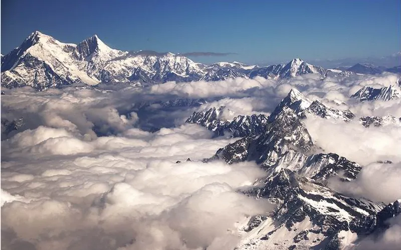
Project Possible 14/7: The 189-Day Himalayan Odyssey
How Nirmal 'Nimsdai' Purja and his Nepali team climbed all fourteen 8,000-meter peaks in 189 days, redefining the boundaries of human endurance.
Documented Sources & Archival Citations
- Beyond Possible: One Soldier, Fourteen Peaks(Nirmal Purja / Hodder & Stoughton)
Supporting claim: Official autobiographical chronicle of the 189-day Project Possible campaign
Accessed/Documented: 2020 - Himalayan Database & Alpine Club Records(Alpine Club / Elizabeth Hawley Archive)
Supporting claim: Verified summit timestamps and GPS track logs across all 14 peaks
Accessed/Documented: 2026