Dhaulagiri I Northeast Ridge (Normal Route)
The Northeast Ridge is the standard climbing route on Dhaulagiri I, first ascended in 1960 by a Swiss-Austrian team. The route begins on the glaciated Mayangdi Khola valley, climbs to the Northeast Col (5,700m), and works its way up the mountain's north-northeast face.
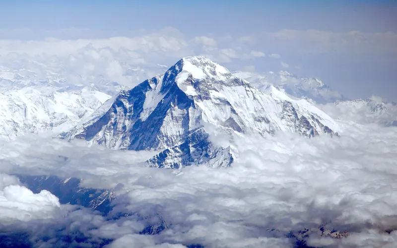
Ascent line, technical cruxes & camp topography profile for Dhaulagiri I Northeast Ridge (Normal Route)
Mountain Safety & Conditions Disclaimer: High-altitude climbing, glacial travel, and technical ascents entail severe objective risks including avalanches, serac collapses, rapid weather collapse, and altitude illness. Historical route descriptions and summit claims on Mountanity reflect documented archival sources and must not be used as live operational safety assessments. Local regulations, permits, and physical glacial topography change continuously.
Peer Review: Senior Editorial Board & Historical Reviewers • Editorial Standards
Tactical & Camp Notes
Dhaulagiri is renowned for sudden, vicious cyclonic storms funnelling up the Kali Gandaki valley, demanding lightning-fast decision making from summit teams.
Identified Objective Hazards
- •Violent cyclonic blizzards rising rapidly out of the Kali Gandaki gorge
- •Extensive slab avalanches across the lower approach between Base Camp and Camp I
- •Treacherous blue ice sheets on the upper traverse demanding flawless crampon technique
- •High wind chill and frostbite risks from unobstructed westerly storms
Interactive Elevation Profile
Vertical profile, technical cruxes, and camp staging progression for Dhaulagiri I Northeast Ridge (Normal Route) on Dhaulagiri I.
Established on the rubble-covered Mayangdi Glacier directly below the sheer northern precipice of Dhaulagiri.
Camp-by-Camp Topography
Key staging altitudes, technical cruxes, and terrain transitions for Dhaulagiri I Northeast Ridge (Normal Route).
Base Camp
Established on the rubble-covered Mayangdi Glacier directly below the sheer northern precipice of Dhaulagiri.
Northeast Col & Camp I
Reached by ascending broken glacier ramps and moraines to gain the wide saddle of the Northeast Col.
Camp II
Pitched on a protected snow terrace along the crest of the lower Northeast Ridge.
Camp III
Carved into steep 45-degree hard ice slopes at the edge of the mountain's northern upper face.
Camp IV
The high assault camp positioned at the base of the upper ice shelves just inside the Death Zone.
The Upper Ice Shelf & Couloir
A sustained 50° traverse across brittle blue ice shelves, followed by a steep couloir piercing the summit rock band.
Dhaulagiri I Summit
The wind-sculpted snow summit of the White Mountain, the highest peak entirely in Nepal.
Topographic Location & Terrain Map
Cartographic datum, massif coordinates, and terrain context for Dhaulagiri I Northeast Ridge (Normal Route) on Dhaulagiri I.
Interactive Topographic Terrain Map
Click below to load live cartographic contours, glacier approaches, and geographic markers for Dhaulagiri I (28°41′55″ N, 83°29′15″ E).
Key Statistics & Topographic Figures
- Route Type
- Standard / Normal Route
Topography
- Technical Difficulty
- Extremely Demanding / Grade V, TD
Alpine V, 50° hard blue ice, mixed rock bands
- Country / Region
- Nepal (Dhaulagiri Himal / Gandaki)
Location
Archival Primary Source Quotations
“A mountain route is not merely a path of rock and ice; it is a test of human endurance, judgment, and humility.”
Defined Alpine Terminology & Concepts
- Crux
- The most difficult and technically demanding pitch or section of a climbing route.
- Normal Route (Voie Normale)
- The most frequently climbed, least technical, and historically standard path to a mountain summit.
Frequently Asked Questions: Dhaulagiri I Northeast Ridge (Normal Route)
What is the climbing difficulty and grade of Dhaulagiri I Northeast Ridge (Normal Route)?
Dhaulagiri I Northeast Ridge (Normal Route) on dhaulagiri is graded as Extremely Demanding / Grade V, TD, with technical climbing requirements including Alpine V, 50° hard blue ice, mixed rock bands.
What are the primary hazards on the Dhaulagiri I Northeast Ridge (Normal Route)?
Climbers on Dhaulagiri I Northeast Ridge (Normal Route) must navigate severe objective hazards including Violent cyclonic blizzards rising rapidly out of the Kali Gandaki gorge, Extensive slab avalanches across the lower approach between Base Camp and Camp I, Treacherous blue ice sheets on the upper traverse demanding flawless crampon technique, High wind chill and frostbite risks from unobstructed westerly storms.
What camps are established on Dhaulagiri I Northeast Ridge (Normal Route)?
Dhaulagiri I Northeast Ridge (Normal Route) typically features 7 staging camps, progressing from Base Camp (4650m) up toward the summit.
Mountain Ascended
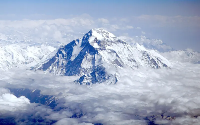

Dhaulagiri I
Dhaulagiri I, at 8,167 meters (26,795 ft), is the seventh-highest mountain on Earth and the highest peak situated entirely within Nepal. Rising steeply above the Kali Gandaki Gorge—the deepest gorge on Earth—opposite Annapurna, Dhaulagiri forms a staggering 7,000-meter vertical rise from the river valley.
Documented Expeditions on this Route (4)
Verified historical summits, siege campaigns, and pioneer attempts recorded on Dhaulagiri I Northeast Ridge (Normal Route).
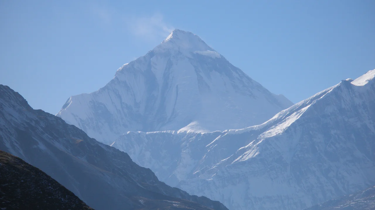
1960 Swiss Dhaulagiri Expedition
The landmark Swiss-Austrian expedition led by Max Eiselin that achieved the maiden first ascent of Dhaulagiri I (8,167m) via the Northeast Ridge without bottled oxygen on May 13, 1960.
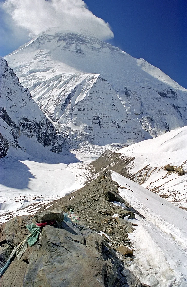
1999 Tomaž Humar Dhaulagiri South Face Solo Expedition
In October and November 1999, Slovenian alpinist Tomaž Humar made world mountaineering history by completing an audacious solo first ascent of the terrifying 4,000-meter South Face of Dhaulagiri I (8,167m) without supplemental oxygen in a nine-day push.
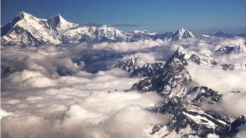
Project Possible 14/7: The 189-Day 14-Peak Odyssey
Led by former British Gurkha and Special Boat Service (SBS) operator Nirmal 'Nimsdai' Purja MBE, Project Possible 14/7 shattered the world speed record by summiting all fourteen 8,000-meter peaks in 6 months and 6 days (189 days), smashing the prior record of nearly eight years.
2019 Nirmal Purja Dhaulagiri I Expedition
Nirmal Purja conquered Dhaulagiri I (8,167m) via the Northeast Ridge on May 12, 2019, battling sustained hurricane-force winds and complete whiteout conditions to secure the second summit of Project Possible.
Archival Chronicles & Stories on this Route (4)
In-depth longform historical narratives, harrowing survival accounts, and firsthand alpine journals on Dhaulagiri I Northeast Ridge (Normal Route).
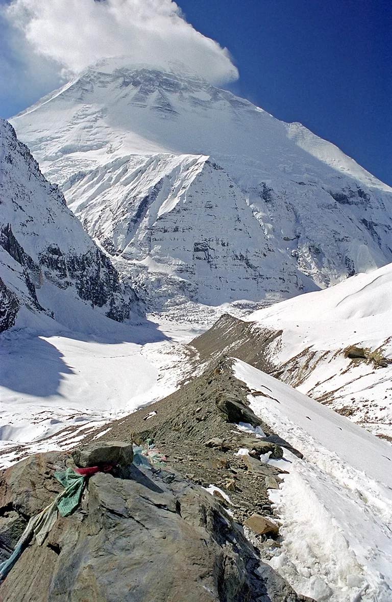
The Third Eye: Tomaž Humar's Audacious Solo of Dhaulagiri South Face
In October 1999, Slovenian visionary Tomaž Humar spent nine solitary days ascending the lethal 4,000-meter South Face of Dhaulagiri without oxygen or ropes, creating the climb of the decade.
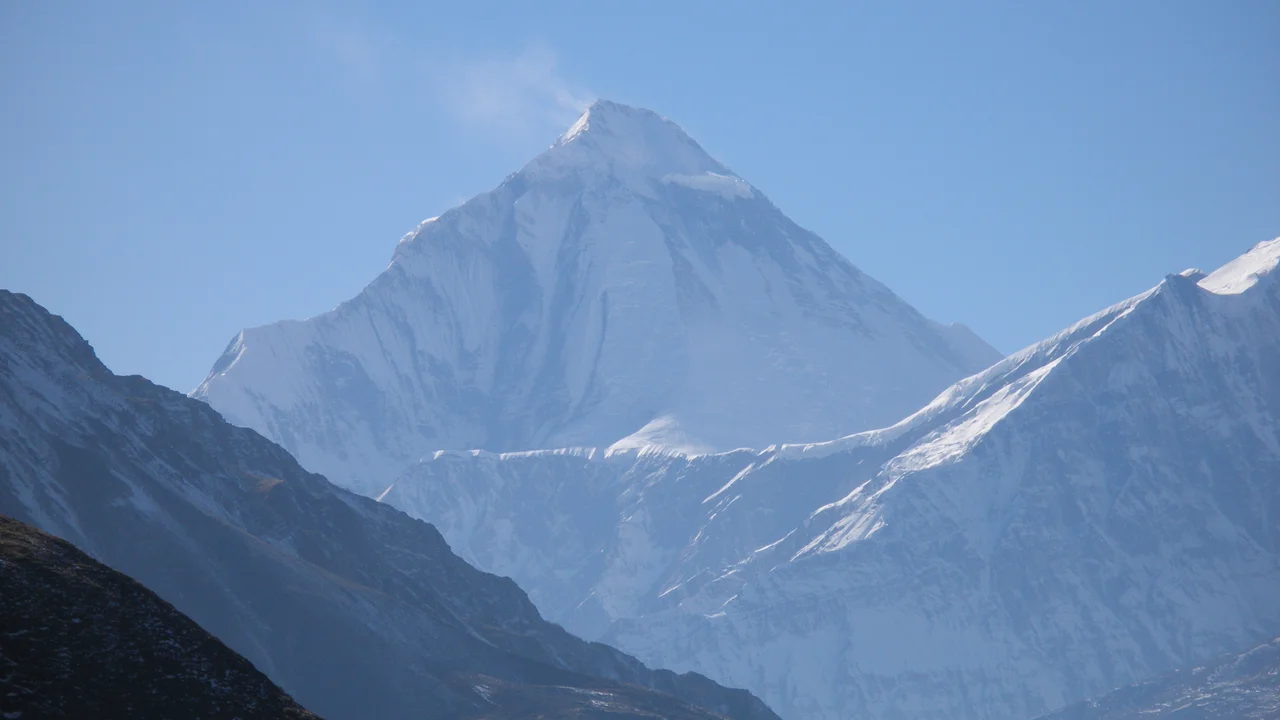
Dhaulagiri 1960: The Swiss-Austrian Conquest of the White Mountain
On May 13, 1960, Kurt Diemberger, Peter Diener, Ernst Forrer, Albin Schelbert, and Sherpas Nyima Dorje and Nawang Dorje conquered Dhaulagiri I (8,167m) via the Northeast Ridge without bottled oxygen, following the crash of their legendary glacier airplane 'Yeti'.
Dhaulagiri I: Summiting the White Mountain in a Tempest
How Nirmal Purja and his Nepali team fought 70-knot summit winds and blinding whiteouts to conquer Dhaulagiri I.
Project Possible 14/7: The 189-Day Himalayan Odyssey
How Nirmal 'Nimsdai' Purja and his Nepali team climbed all fourteen 8,000-meter peaks in 189 days, redefining the boundaries of human endurance.