Gasherbrum I
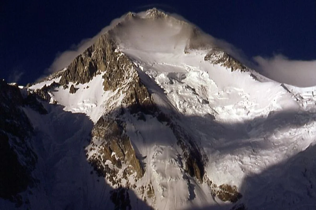
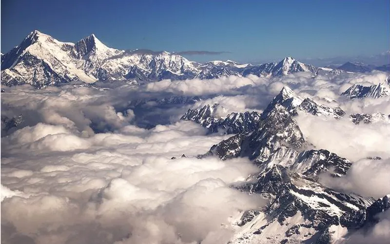
Gasherbrum I, at 8,068 meters (26,470 ft), is the eleventh-highest mountain in the world. Named 'Hidden Peak' by explorer William Martin Conway due to its concealment behind surrounding Karakoram giants, it stands on the border between Pakistan and China.


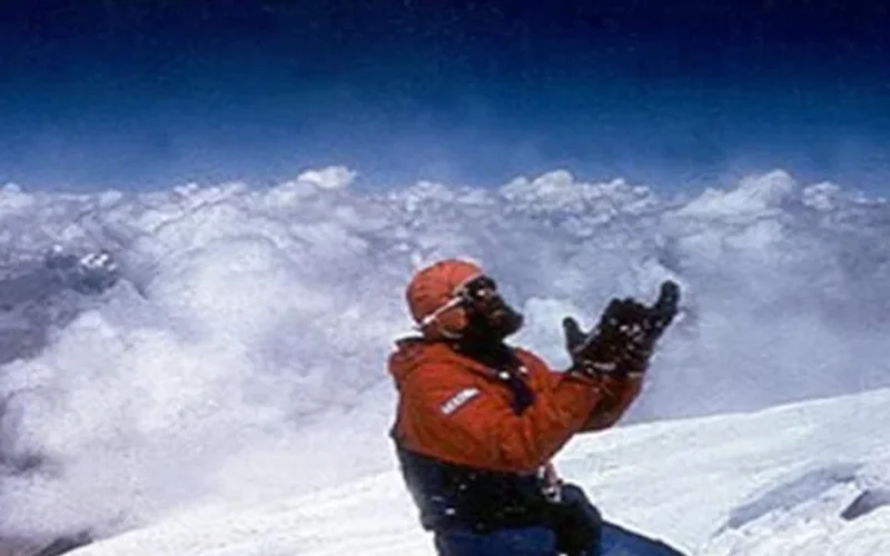
Mountain Safety & Conditions Disclaimer: High-altitude climbing, glacial travel, and technical ascents entail severe objective risks including avalanches, serac collapses, rapid weather collapse, and altitude illness. Historical route descriptions and summit claims on Mountanity reflect documented archival sources and must not be used as live operational safety assessments. Local regulations, permits, and physical glacial topography change continuously.
Peer Review: Senior Editorial Board & Historical Reviewers • Editorial Standards
Geographical Setting & Topography
Southeastern Gasherbrum group, Baltoro Muztagh subrange of the Karakoram, situated at the terminus of the South Gasherbrum Glacier.
Historic First Ascent
Date: July 5, 1958
Ascent Team: Pete Schoening and Andy Kauffman (American Karakoram Expedition led by Nick Clinch)
Key Statistics & Topographic Figures
- Official Elevation
- 8,068 m (26,470 ft)
11th Highest on Earth
- Topographic Prominence
- 2,155 m
Rank #52 globally
- First Ascent Date
- July 5, 1958
Pete Schoening & Andy Kauffman
- First Alpine Style Ascent
- August 10, 1975
Reinhold Messner & Peter Habeler
- Geographic Coordinates
- 35°43′28″ N, 76°41′47″ E
Pakistan / China Border
- Technical Crux
- Japanese Couloir (55-60° ice)
Northwest Face
Archival Primary Source Quotations
“Hidden Peak was a silent, terrifying fortress of black granite and blue ice, revealing its secrets only to those willing to move with maximum commitment and speed.”
“Standing on Hidden Peak after pushing through the Japanese Couloir completed a twelve-year dream across Pakistan’s 8,000-meter giants.”
Defined Alpine Terminology & Concepts
- Japanese Couloir
- A steep, narrow funnel of black ice and mixed rock spanning 500 vertical meters on the Northwest Face of Gasherbrum I, connecting the lower Cwm to the upper high camps.
- Hidden Peak
- The historical designation bestowed upon Gasherbrum I by William Martin Conway in 1892 due to its geographical isolation behind the outer ramparts of the Baltoro Muztagh.
Gasherbrum I Mountain Weather Forecast
Detailed 14-Day Summit Window & Weather Timeline
Explore day-by-day summit push safety windows, wind shear analysis, and extended multi-day forecasts for Gasherbrum I.
Explore Gasherbrum I (8,068 m) in Interactive 3D
Inspect steep glacial walls, hanging seracs, ridge approaches, and elevation relief with 360° rotation and terrain tilt in WebGL.
Documented Climbing Routes (1)
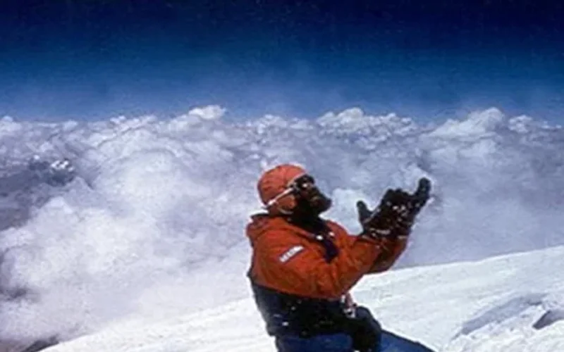
Northwest Face & Japanese Couloir (Normal Route)
The Northwest Face via the Japanese Couloir is the standard and most frequently climbed line on Gasherbrum I (8,068m / Hidden Peak). Starting from the South Gasherbrum Glacier, climbers traverse the shared lower icefall into the Gasherbrum Cwm, then branch southward toward the forbidding northwest wall. The technical centerpiece is the Japanese Couloir—a sustained 50 to 60-degree gully of hard blue ice and shattered rock leading to the high col and summit slopes. First ascended in 1958 by Americans Pete Schoening and Andy Kauffman via the South Ridge, the Japanese Couloir line became the modern benchmark, climbed rapidly in 1992 by Nazir Sabir, Rajab Shah, and Mehrban Shah.
Historical Expeditions (5)
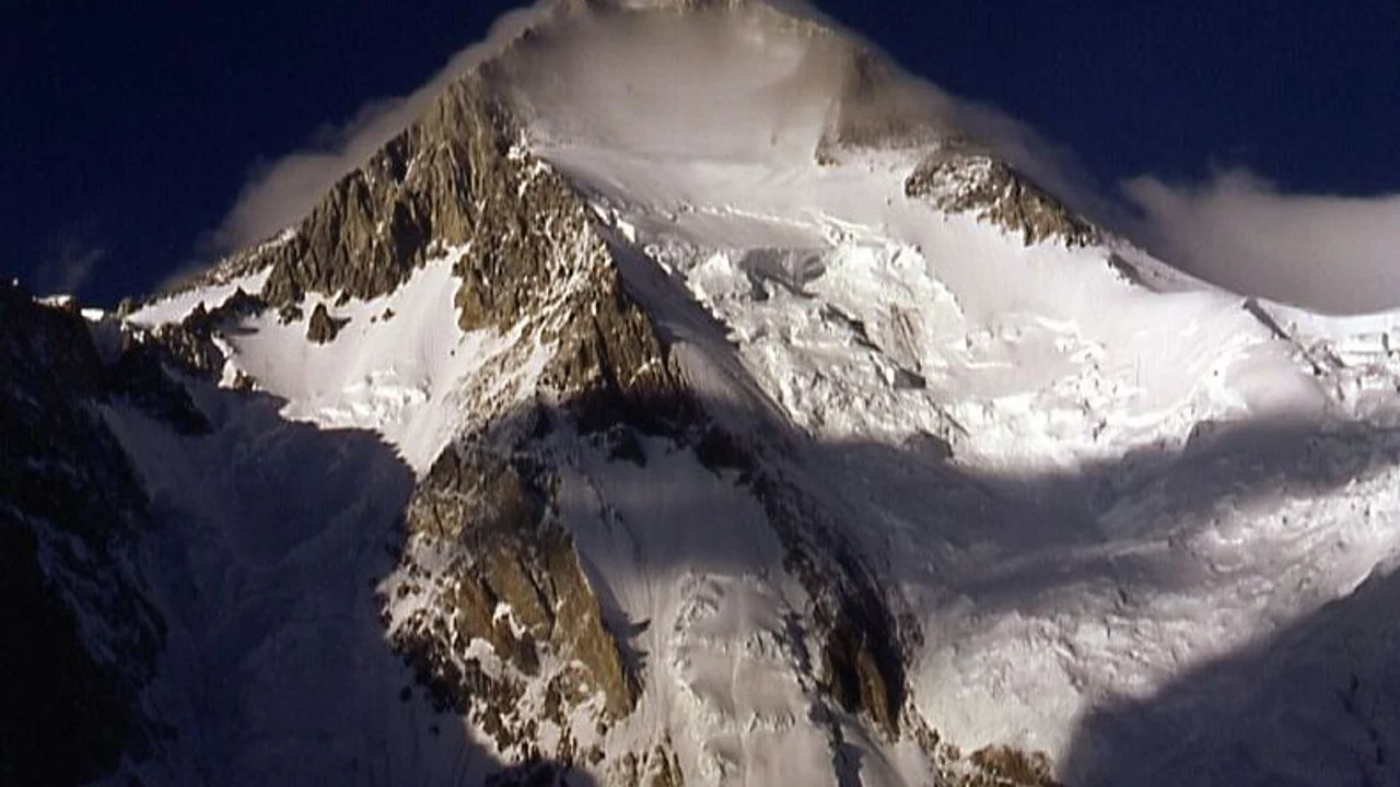
1958 American Karakoram Expedition to Gasherbrum I
The historic American expedition led by Nick Clinch that achieved the maiden first ascent of Gasherbrum I (Hidden Peak, 8,080m) on July 5, 1958, by Pete Schoening and Andy Kauffman—the only 8,000m peak first summited by Americans.
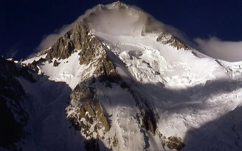
1992 Gasherbrum I (Hidden Peak) Expedition
Rapid alpine push on Gasherbrum I (8,068m) by Nazir Sabir, Rajab Shah, and Mehrban Shah, establishing Sabir's fourth Pakistani 8,000-meter summit.
2012 Polish Gasherbrum I Winter First Ascent Expedition
On March 9, 2012, Polish Ice Warriors Adam Bielecki and Janusz Gołąb completed the historic first winter ascent of Gasherbrum I (8,080m) in the Karakoram range, climbing without supplemental bottled oxygen in temperatures below -38°C.
Project Possible 14/7: The 189-Day 14-Peak Odyssey
Led by former British Gurkha and Special Boat Service (SBS) operator Nirmal 'Nimsdai' Purja MBE, Project Possible 14/7 shattered the world speed record by summiting all fourteen 8,000-meter peaks in 6 months and 6 days (189 days), smashing the prior record of nearly eight years.
2019 Nirmal Purja Gasherbrum I Expedition
Nirmal Purja climbed Gasherbrum I (8,080m) via the Japanese Couloir on July 15, 2019, navigating heavily crevassed glacier fields to secure his eighth 8,000-meter summit of the year.
Summit Chronicles & Stories (5)
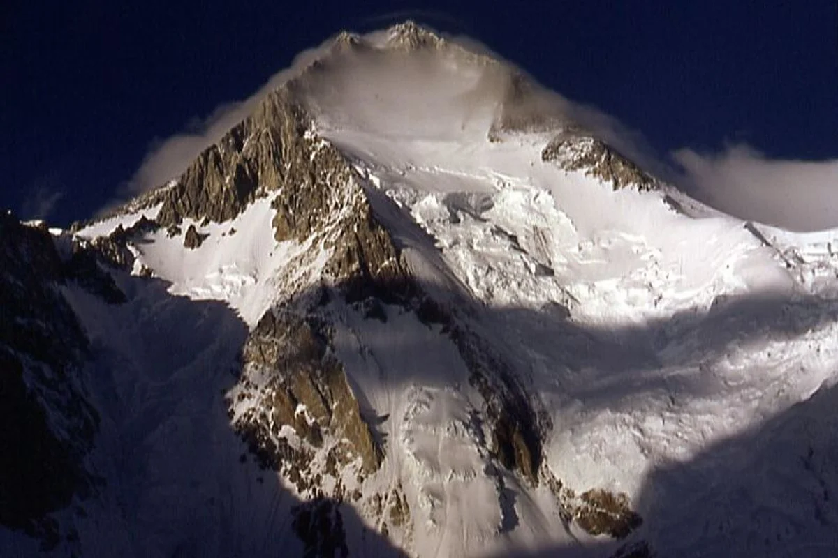
Cold Steel: The Historic First Winter Ascent of Gasherbrum I
On March 9, 2012, Polish Ice Warriors Adam Bielecki and Janusz Gołąb completed the first winter ascent of Gasherbrum I in the Karakoram at -38°C without supplemental oxygen.
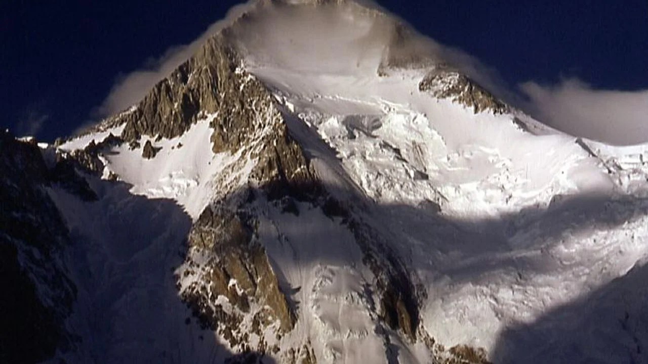
Gasherbrum I 1958: The American Conquest of Hidden Peak
On July 5, 1958, Pete Schoening and Andy Kauffman conquered the 8,080-meter summit of Gasherbrum I (Hidden Peak), achieving the only maiden first ascent of an eight-thousander in world history credited to an American team.
1992 Gasherbrum I: Nazir Sabir Conquers Hidden Peak
How Nazir Sabir completed his ascent of Gasherbrum I (8,080m) via the Japanese Couloir, claiming his fourth Karakoram 8,000er.
Gasherbrum I: Navigating the Icefall to Hidden Peak
Nirmal Purja climbs Gasherbrum I via the Japanese Couloir, conquering the remote Hidden Peak on the Baltoro Glacier.
Project Possible 14/7: The 189-Day Himalayan Odyssey
How Nirmal 'Nimsdai' Purja and his Nepali team climbed all fourteen 8,000-meter peaks in 189 days, redefining the boundaries of human endurance.
Frequently Asked Questions: Gasherbrum I
Why is Gasherbrum I called Hidden Peak?
Gasherbrum I was named "Hidden Peak" in 1892 by British explorer William Martin Conway because its sheer summit pyramid is completely concealed from the Baltoro Glacier view behind the massive neighboring walls of Gasherbrum IV, V, and VI, becoming visible only after penetrating deep into the upper glacier.
How high is Gasherbrum I and where does it rank globally?
Gasherbrum I rises to an official elevation of 8,068 meters (26,470 feet) above sea level, making it the 11th highest mountain on Earth and the 3rd highest peak in Pakistan after K2 and Nanga Parbat.
Is Gasherbrum I more dangerous and technical than Gasherbrum II?
Yes. Gasherbrum I features much steeper, more sustained rock and ice walls than Gasherbrum II. Routes like the Northwest Face via the Japanese Couloir require steep 55-60 degree blue-ice climbing through narrow gullies vulnerable to rockfall and high winds in the Death Zone.
What is the Japanese Couloir on Gasherbrum I?
The Japanese Couloir is a sustained 500-meter gully of hard blue ice and rock bands angling between 55 and 60 degrees from Camp II (6,400m) to Camp III (7,100m) on the Northwest Face. It is the defining technical crux of the modern normal route.
When was Gasherbrum I first climbed and by whom?
Gasherbrum I was first climbed on July 5, 1958, by American mountaineers Pete Schoening and Andy Kauffman as part of the American Karakoram Expedition led by Nick Clinch, via the South Ridge.
Which Pakistani climbers made history on Gasherbrum I in 1992?
On August 25, 1992, Nazir Sabir, Rajab Shah, and Mehrban Shah completed a rapid alpine push to the summit of Gasherbrum I. With this climb, Nazir Sabir became the first Pakistani mountaineer in history to conquer four 8,000-meter peaks on Pakistani soil.
Documented Sources & Archival Citations
- A Walk in the Sky: Nicholas Clinch and the 1958 Ascent(Mountaineers Books)
Supporting claim: Official expedition record of the 1958 American first ascent
Accessed/Documented: 1982 - American Alpine Journal: 1992 Gasherbrum I Ascent(American Alpine Club)
Supporting claim: Account of Nazir Sabir, Rajab Shah, and Mehrban Shah summit push
Accessed/Documented: 1993