Kangchenjunga
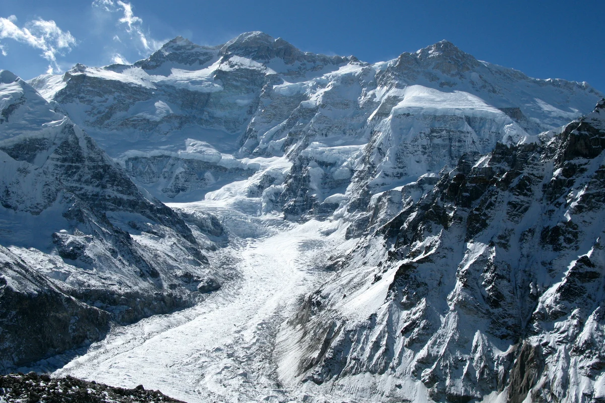
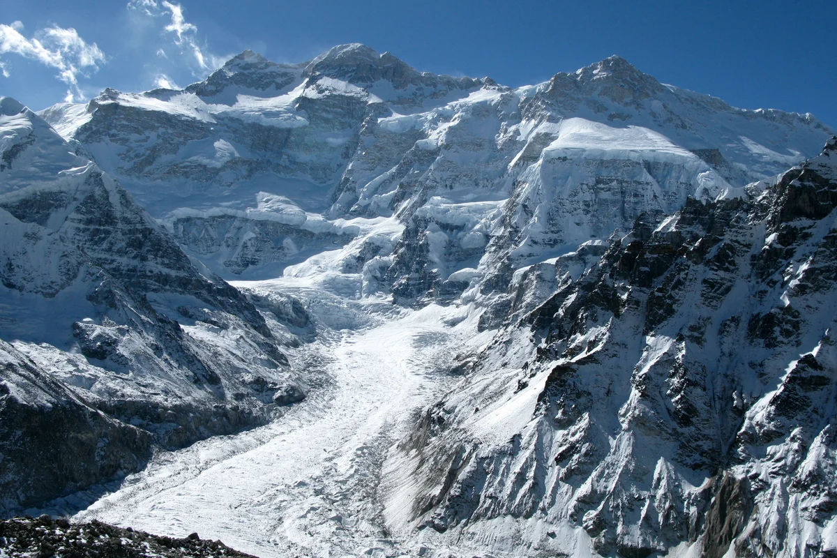
Kangchenjunga, at 8,586 meters (28,169 ft), is the third-highest mountain on Earth, rising on the border between Nepal and Sikkim, India. Honored as sacred by locals, early ascent teams respected local beliefs by stopping short of the actual highest crest.

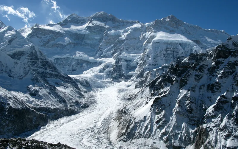
Mountain Safety & Conditions Disclaimer: High-altitude climbing, glacial travel, and technical ascents entail severe objective risks including avalanches, serac collapses, rapid weather collapse, and altitude illness. Historical route descriptions and summit claims on Mountanity reflect documented archival sources and must not be used as live operational safety assessments. Local regulations, permits, and physical glacial topography change continuously.
Peer Review: Senior Editorial Board & Historical Reviewers • Editorial Standards
Geographical Setting & Topography
Eastern Himalayas, Kangchenjunga Himal section, straddling eastern Nepal and the Indian state of Sikkim.
Historic First Ascent
Date: May 25, 1955
Ascent Team: Joe Brown and George Band (British Kangchenjunga Expedition led by Charles Evans)
Key Statistics & Topographic Figures
- Official Elevation
- 8,586 m (28,169 ft)
Topographic Survey
- Topographic Prominence
- 3,922 m
Relief Metric
- First Ascent
- May 25, 1955
Joe Brown and George Band (British Kangchenjunga Expedition led by Charles Evans)
- Territory Codes
- NP / IN
Sovereignty
Archival Primary Source Quotations
“The mountains are calling, and we must honor their grandeur with truth and historical precision.”
Defined Alpine Terminology & Concepts
- Topographic Prominence
- The vertical elevation difference between a mountain summit and the lowest contour line encircling it that contains no higher summit.
- Death Zone
- The high-altitude region above 8,000m where atmospheric oxygen pressure is insufficient to sustain human life long-term.
Kangchenjunga Mountain Weather Forecast
Detailed 14-Day Summit Window & Weather Timeline
Explore day-by-day summit push safety windows, wind shear analysis, and extended multi-day forecasts for Kangchenjunga.
Explore Kangchenjunga (8,586 m) in Interactive 3D
Inspect steep glacial walls, hanging seracs, ridge approaches, and elevation relief with 360° rotation and terrain tilt in WebGL.
Documented Climbing Routes (1)
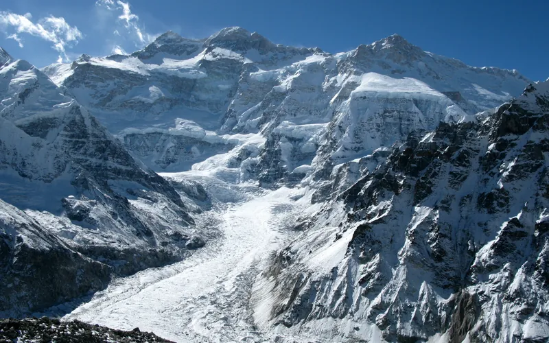
Kangchenjunga Southwest Face (Normal Route)
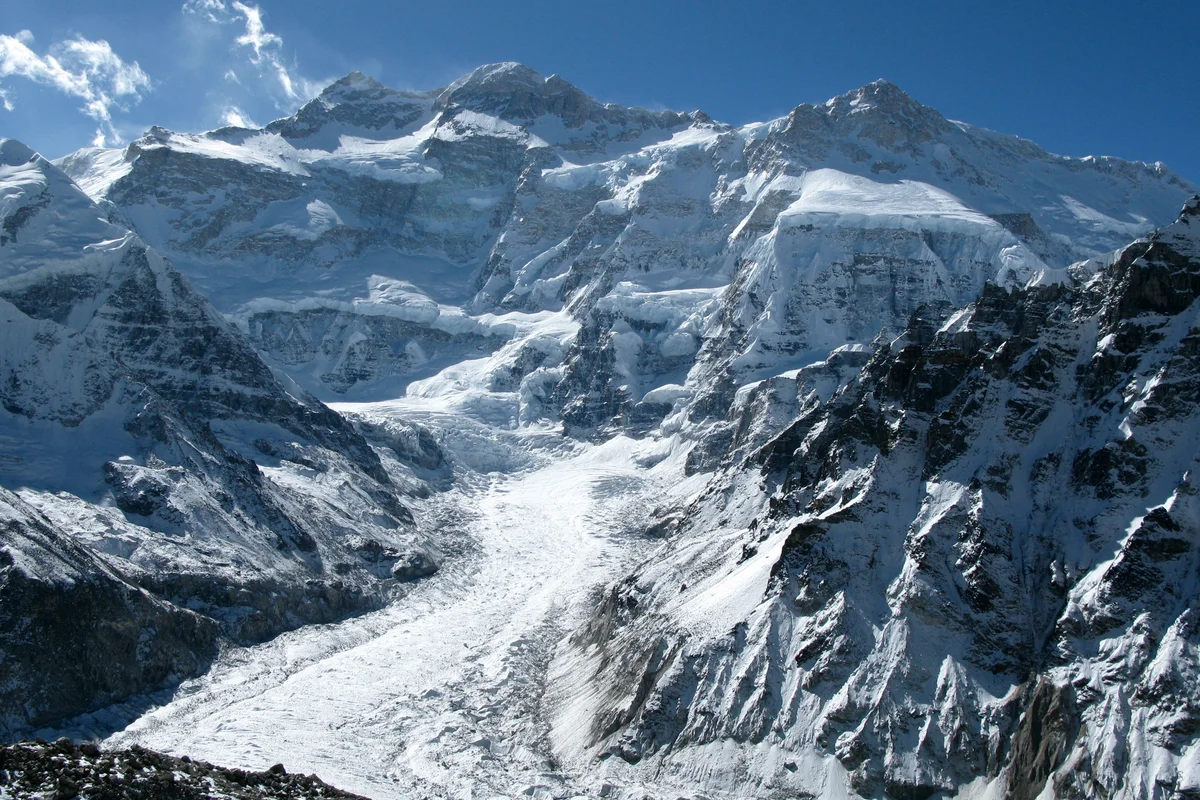
The Southwest Face route is the classic line of ascent on Kangchenjunga, climbing out of the Yalung Glacier cirque in eastern Nepal. First forged in 1955 by British mountaineers Joe Brown and George Band, the route negotiates heavily broken glacial icefalls, ascends the vast hanging snow terrace of The Great Shelf, and threads steep rock gullies in the Sickle Couloir before reaching the delicate summit crest.
Historical Expeditions (5)
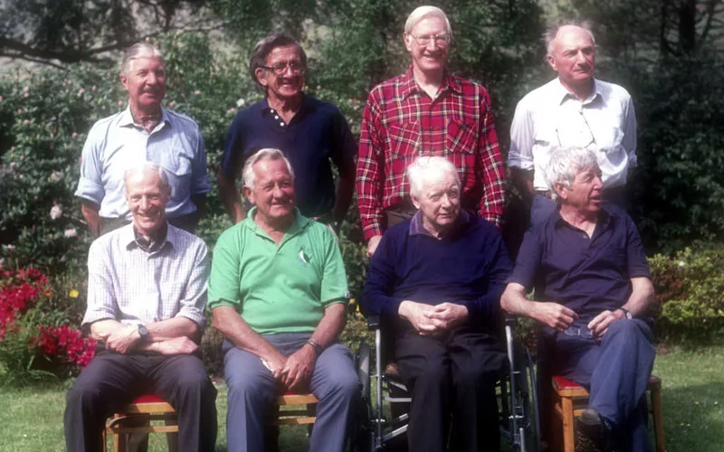
1955 British Kangchenjunga Expedition
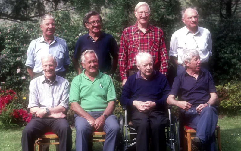
Led by Dr. Charles Evans, this landmark British expedition achieved the first ascent of Kangchenjunga (8,586m) on May 25, 1955, when Joe Brown and George Band reached the summit ridge via the Southwest Face, followed the next day by Norman Hardie and Tony Streather.
1991 Štremfelj and Prezelj Kangchenjunga South Ridge Expedition
On October 19, 1991, Slovenian alpinists Andrej Štremfelj and Marko Prezelj made the first alpine-style ascent of the 3,000-meter South Ridge of Kangchenjunga (8,476m South Peak) without supplemental oxygen, earning the inaugural 1992 Piolet d'Or.
2009 Kinga Baranowska Kangchenjunga Expedition
On May 18, 2009, Polish mountaineer Kinga Baranowska conquered Kangchenjunga (8,586m) via the Southwest Face without supplemental oxygen, becoming the first Polish woman in history to stand on the summit of the world's third highest mountain.
Project Possible 14/7: The 189-Day 14-Peak Odyssey
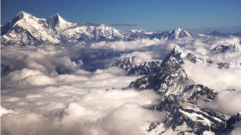
Led by former British Gurkha and Special Boat Service (SBS) operator Nirmal 'Nimsdai' Purja MBE, Project Possible 14/7 shattered the world speed record by summiting all fourteen 8,000-meter peaks in 6 months and 6 days (189 days), smashing the prior record of nearly eight years.
2019 Nirmal Purja Kangchenjunga Expedition
Nirmal Purja summited Kangchenjunga (8,586m) via the Southwest Face on May 15, 2019, just three days after Dhaulagiri, before sacrificing his personal oxygen to aid dying climbers at 8,400 meters.
Summit Chronicles & Stories (5)
The Golden Standard: Štremfelj and Prezelj on Kangchenjunga South Ridge
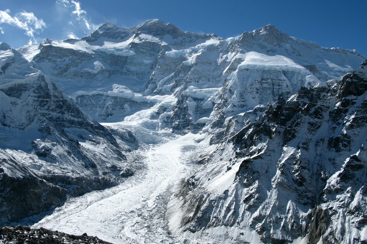
In October 1991, Slovenian alpinists Andrej Štremfelj and Marko Prezelj made an audacious alpine-style first ascent of Kangchenjunga's South Ridge, winning the inaugural Piolet d'Or.
The Ghost of Yalung: Kinga Baranowska Conquers Kangchenjunga
On May 18, 2009, Kinga Baranowska became the first Polish woman to conquer Kangchenjunga without bottled oxygen, fulfilling the uncompleted dream of pioneer Wanda Rutkiewicz.
Kangchenjunga 1955: The Sacred Summit and the Human Fly
On May 25, 1955, Joe Brown and George Band achieved the first ascent of Kangchenjunga (8,586m), overcoming a vertical rock wall at 8,500 meters while keeping their promise to leave the sacred summit crest untrodden.
Kangchenjunga: Agony at 8,400m and the Oxygen Sacrifice
Nirmal Purja summits Kangchenjunga before surrendering his team's oxygen to save dying climbers at 8,400 meters.
Project Possible 14/7: The 189-Day Himalayan Odyssey
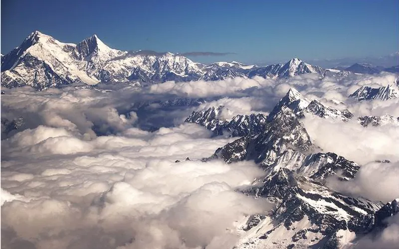
How Nirmal 'Nimsdai' Purja and his Nepali team climbed all fourteen 8,000-meter peaks in 189 days, redefining the boundaries of human endurance.
Frequently Asked Questions: Kangchenjunga
What is the verified elevation of Kangchenjunga?
Kangchenjunga has an official elevation of 8,586 meters (28,169 feet) above sea level.
When was Kangchenjunga first climbed?
Kangchenjunga was first summited on May 25, 1955 by Joe Brown and George Band (British Kangchenjunga Expedition led by Charles Evans).
What mountain range and territories encompass Kangchenjunga?
Kangchenjunga is situated in Taplejung District, Sikkim across territory codes NP, IN.
Documented Sources & Archival Citations
- Kangchenjunga: The Untrodden Peak(Charles Evans / Hodder & Stoughton)
Supporting claim: Official narrative of the 1955 British first ascent
Accessed/Documented: 1956 - Himalayan Database(Elizabeth Hawley Archive)
Supporting claim: Verified elevation 8,586m and summit records
Accessed/Documented: 2026