Kangchenjunga Southwest Face (Normal Route)
The Southwest Face route is the classic line of ascent on Kangchenjunga, climbing out of the Yalung Glacier cirque in eastern Nepal. First forged in 1955 by British mountaineers Joe Brown and George Band, the route negotiates heavily broken glacial icefalls, ascends the vast hanging snow terrace of The Great Shelf, and threads steep rock gullies in the Sickle Couloir before reaching the delicate summit crest.
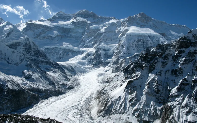
Ascent line, technical cruxes & camp topography profile for Kangchenjunga Southwest Face (Normal Route)
Mountain Safety & Conditions Disclaimer: High-altitude climbing, glacial travel, and technical ascents entail severe objective risks including avalanches, serac collapses, rapid weather collapse, and altitude illness. Historical route descriptions and summit claims on Mountanity reflect documented archival sources and must not be used as live operational safety assessments. Local regulations, permits, and physical glacial topography change continuously.
Peer Review: Senior Editorial Board & Historical Reviewers • Editorial Standards
Tactical & Camp Notes
Expeditions establish Base Camp on the Yalung Glacier moraine and set four camps before launching a summit bid. High winds and prolonged exposure above 7,500m make this one of the most physically exhausting routes among the 8,000m giants.
Identified Objective Hazards
- •Violent, unpredictable serac collapses across the Yalung icefall
- •Continuous avalanche hazard scouring the Great Shelf following pre-monsoon snowfall
- •Extreme physical exhaustion across sustained Death Zone elevations above 8,000 meters
- •Ferocious westerly jet-stream winds with temperatures plunging below -40°C
Interactive Elevation Profile
Vertical profile, technical cruxes, and camp staging progression for Kangchenjunga Southwest Face (Normal Route) on Kangchenjunga.
Pitched on the rocky lateral moraine of the Yalung Glacier facing the colossal southwest wall of Kangchenjunga.
Camp-by-Camp Topography
Key staging altitudes, technical cruxes, and terrain transitions for Kangchenjunga Southwest Face (Normal Route).
Base Camp
Pitched on the rocky lateral moraine of the Yalung Glacier facing the colossal southwest wall of Kangchenjunga.
Camp I
Established above the chaotic lower Yalung icefall on a stable, snow-covered glacial plateau.
Camp II
Located at the base of the steep upper headwall leading up toward the Great Shelf snow terrace.
The Great Shelf & Camp III
A vast, hanging snow terrace cutting horizontally across the face. Highly exposed to severe mountain weather.
Camp IV
The highest staging platform positioned at the threshold of the Death Zone beneath the rock ramparts of the Sickle.
The Sickle Couloir
A steep, twisting gully of 55° hard ice and mixed rock chimneys cutting through the final summit headwall.
Kangchenjunga Summit
The narrow summit snow crest of Kangchenjunga, the third-highest elevation on Earth.
Topographic Location & Terrain Map
Cartographic datum, massif coordinates, and terrain context for Kangchenjunga Southwest Face (Normal Route) on Kangchenjunga.
Interactive Topographic Terrain Map
Click below to load live cartographic contours, glacier approaches, and geographic markers for Kangchenjunga (27°42′09″ N, 88°08′51″ E).
Key Statistics & Topographic Figures
- Route Type
- Standard / Normal Route
Topography
- Technical Difficulty
- Extremely Demanding / Grade V, TD
Alpine V, UIAA IV rock, 55° snow/ice
- Country / Region
- Nepal (Eastern Himalayas / Taplejung)
Location
Archival Primary Source Quotations
“A mountain route is not merely a path of rock and ice; it is a test of human endurance, judgment, and humility.”
Defined Alpine Terminology & Concepts
- Crux
- The most difficult and technically demanding pitch or section of a climbing route.
- Normal Route (Voie Normale)
- The most frequently climbed, least technical, and historically standard path to a mountain summit.
Frequently Asked Questions: Kangchenjunga Southwest Face (Normal Route)
What is the climbing difficulty and grade of Kangchenjunga Southwest Face (Normal Route)?
Kangchenjunga Southwest Face (Normal Route) on kangchenjunga is graded as Extremely Demanding / Grade V, TD, with technical climbing requirements including Alpine V, UIAA IV rock, 55° snow/ice.
What are the primary hazards on the Kangchenjunga Southwest Face (Normal Route)?
Climbers on Kangchenjunga Southwest Face (Normal Route) must navigate severe objective hazards including Violent, unpredictable serac collapses across the Yalung icefall, Continuous avalanche hazard scouring the Great Shelf following pre-monsoon snowfall, Extreme physical exhaustion across sustained Death Zone elevations above 8,000 meters, Ferocious westerly jet-stream winds with temperatures plunging below -40°C.
What camps are established on Kangchenjunga Southwest Face (Normal Route)?
Kangchenjunga Southwest Face (Normal Route) typically features 7 staging camps, progressing from Base Camp (5475m) up toward the summit.
Mountain Ascended
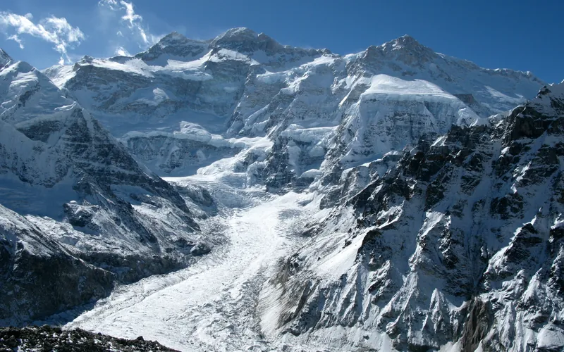


Kangchenjunga
Kangchenjunga, at 8,586 meters (28,169 ft), is the third-highest mountain on Earth, rising on the border between Nepal and Sikkim, India. Honored as sacred by locals, early ascent teams respected local beliefs by stopping short of the actual highest crest. It features immense vertical relief and notorious storm cycles.
Documented Expeditions on this Route (5)
Verified historical summits, siege campaigns, and pioneer attempts recorded on Kangchenjunga Southwest Face (Normal Route).
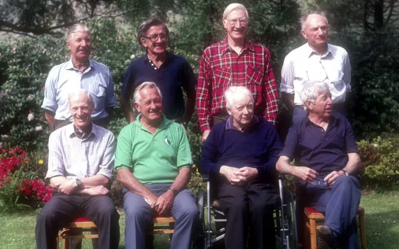
1955 British Kangchenjunga Expedition
Led by Dr. Charles Evans, this landmark British expedition achieved the first ascent of Kangchenjunga (8,586m) on May 25, 1955, when Joe Brown and George Band reached the summit ridge via the Southwest Face, followed the next day by Norman Hardie and Tony Streather.
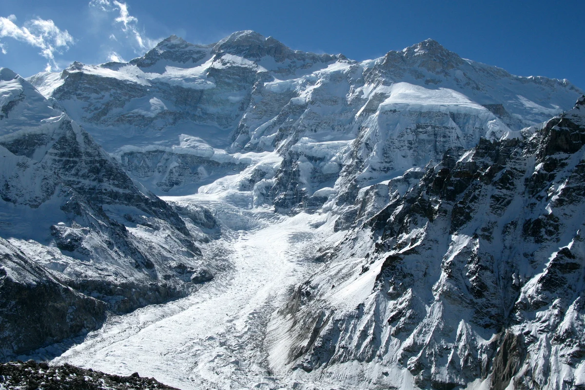
1991 Štremfelj and Prezelj Kangchenjunga South Ridge Expedition
On October 19, 1991, Slovenian alpinists Andrej Štremfelj and Marko Prezelj made the first alpine-style ascent of the 3,000-meter South Ridge of Kangchenjunga (8,476m South Peak) without supplemental oxygen, earning the inaugural 1992 Piolet d'Or.
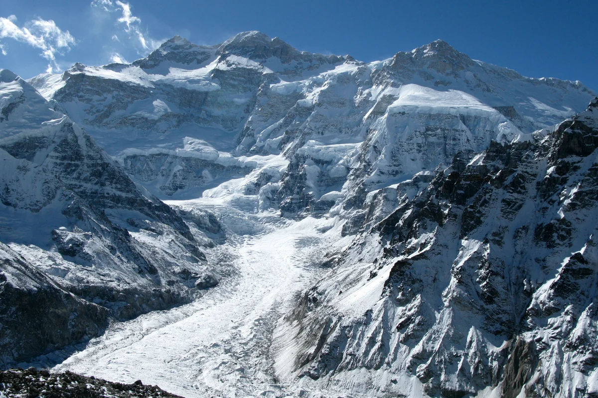
2009 Kinga Baranowska Kangchenjunga Expedition
On May 18, 2009, Polish mountaineer Kinga Baranowska conquered Kangchenjunga (8,586m) via the Southwest Face without supplemental oxygen, becoming the first Polish woman in history to stand on the summit of the world's third highest mountain.
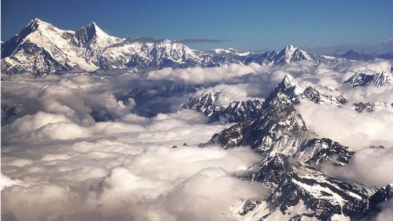
Project Possible 14/7: The 189-Day 14-Peak Odyssey
Led by former British Gurkha and Special Boat Service (SBS) operator Nirmal 'Nimsdai' Purja MBE, Project Possible 14/7 shattered the world speed record by summiting all fourteen 8,000-meter peaks in 6 months and 6 days (189 days), smashing the prior record of nearly eight years.
2019 Nirmal Purja Kangchenjunga Expedition
Nirmal Purja summited Kangchenjunga (8,586m) via the Southwest Face on May 15, 2019, just three days after Dhaulagiri, before sacrificing his personal oxygen to aid dying climbers at 8,400 meters.
Archival Chronicles & Stories on this Route (5)
In-depth longform historical narratives, harrowing survival accounts, and firsthand alpine journals on Kangchenjunga Southwest Face (Normal Route).
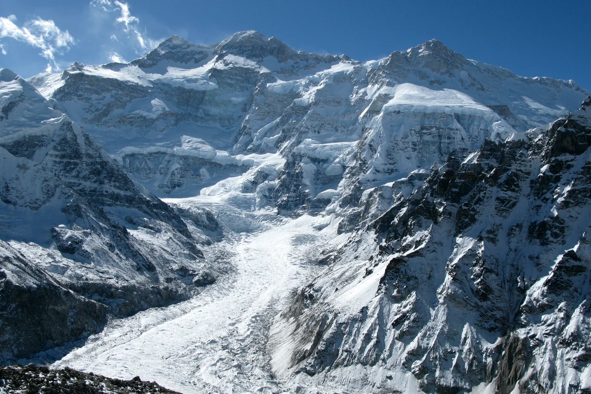
The Golden Standard: Štremfelj and Prezelj on Kangchenjunga South Ridge
In October 1991, Slovenian alpinists Andrej Štremfelj and Marko Prezelj made an audacious alpine-style first ascent of Kangchenjunga's South Ridge, winning the inaugural Piolet d'Or.
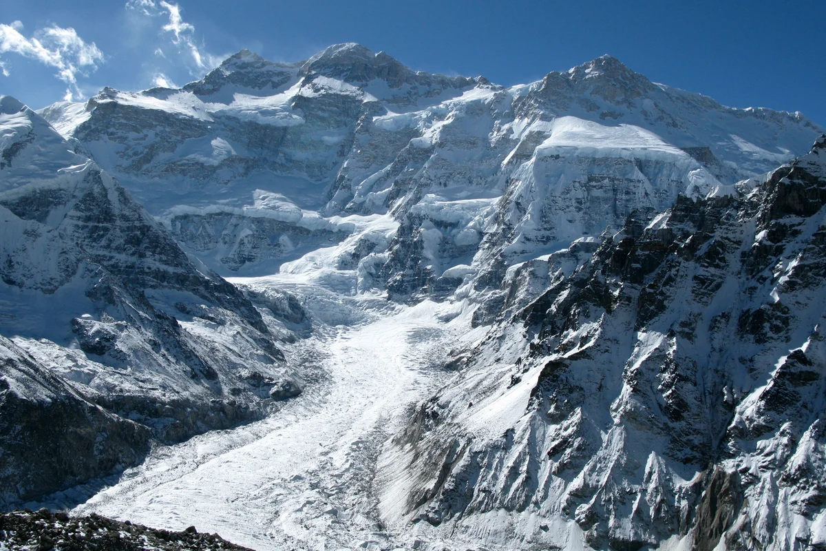
The Ghost of Yalung: Kinga Baranowska Conquers Kangchenjunga
On May 18, 2009, Kinga Baranowska became the first Polish woman to conquer Kangchenjunga without bottled oxygen, fulfilling the uncompleted dream of pioneer Wanda Rutkiewicz.
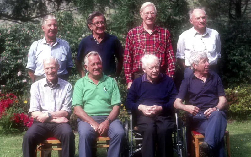
Kangchenjunga 1955: The Sacred Summit and the Human Fly
On May 25, 1955, Joe Brown and George Band achieved the first ascent of Kangchenjunga (8,586m), overcoming a vertical rock wall at 8,500 meters while keeping their promise to leave the sacred summit crest untrodden.
Kangchenjunga: Agony at 8,400m and the Oxygen Sacrifice
Nirmal Purja summits Kangchenjunga before surrendering his team's oxygen to save dying climbers at 8,400 meters.
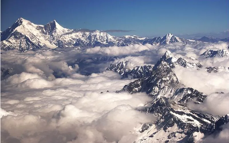
Project Possible 14/7: The 189-Day Himalayan Odyssey
How Nirmal 'Nimsdai' Purja and his Nepali team climbed all fourteen 8,000-meter peaks in 189 days, redefining the boundaries of human endurance.