Makalu Northwest Ridge (French Route)
The Northwest Ridge is the classic pioneering line on Makalu, first opened by the historic French expedition of 1955. From Advanced Base Camp on the Chago Glacier, climbers ascend steep snow and ice fields to gain Makalu La (7,400m), a high, wind-blasted col connecting Makalu to Kangchungtse.
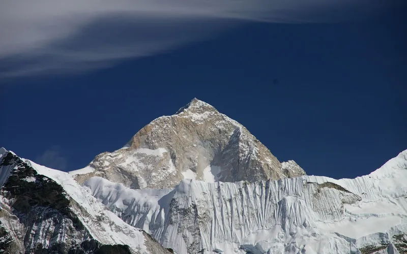
Ascent line, technical cruxes & camp topography profile for Makalu Northwest Ridge (French Route)
Mountain Safety & Conditions Disclaimer: High-altitude climbing, glacial travel, and technical ascents entail severe objective risks including avalanches, serac collapses, rapid weather collapse, and altitude illness. Historical route descriptions and summit claims on Mountanity reflect documented archival sources and must not be used as live operational safety assessments. Local regulations, permits, and physical glacial topography change continuously.
Peer Review: Senior Editorial Board & Historical Reviewers • Editorial Standards
Tactical & Camp Notes
Makalu is widely considered by elite mountaineers to be far more physically and technically demanding than Everest or Cho Oyu due to steep technical climbing above 8,200m.
Identified Objective Hazards
- •Punishing Tibetan jet-stream winds battering the exposed Makalu La col
- •Sustained mixed rock and ice climbing at extreme elevations over 8,200 meters
- •Severe frostbite risk due to extreme cold and prolonged exposure
- •Dangerous rockfall funnelled down the French Couloir
Interactive Elevation Profile
Vertical profile, technical cruxes, and camp staging progression for Makalu Northwest Ridge (French Route) on Makalu.
Located on the lateral moraine of the Barun Glacier in the deep, remote Barun Valley.
Camp-by-Camp Topography
Key staging altitudes, technical cruxes, and terrain transitions for Makalu Northwest Ridge (French Route).
Hillary Base Camp
Located on the lateral moraine of the Barun Glacier in the deep, remote Barun Valley.
Advanced Base Camp
Positioned near the head of the Chago Glacier directly below the northern flanks of the mountain.
Camp I
Pitched on a snow shelf at the base of the steep headwall leading toward Makalu La.
Makalu La & Camp III
Established on the broad, wind-swept saddle of Makalu La. Buffeted by severe high-altitude jet streams.
Camp IV
The assault camp placed at the base of the final pyramid beneath the French Couloir in the Death Zone.
The French Couloir
A steep 60° mixed corridor of hard ice, loose shale, and granite chimneys requiring delicate crampon work.
Makalu Summit
A razor-sharp granite summit fin marking the highest point of the fifth-tallest peak on Earth.
Topographic Location & Terrain Map
Cartographic datum, massif coordinates, and terrain context for Makalu Northwest Ridge (French Route) on Makalu.
Interactive Topographic Terrain Map
Click below to load live cartographic contours, glacier approaches, and geographic markers for Makalu (27°53′21″ N, 87°05′19″ E).
Key Statistics & Topographic Figures
- Route Type
- Standard / Normal Route
Topography
- Technical Difficulty
- Extremely Demanding / Grade VI, TD
Alpine VI, UIAA IV rock, 60° hard ice
- Country / Region
- Nepal (Sankhuwasabha / Mahalangur Himal)
Location
Archival Primary Source Quotations
“A mountain route is not merely a path of rock and ice; it is a test of human endurance, judgment, and humility.”
Defined Alpine Terminology & Concepts
- Crux
- The most difficult and technically demanding pitch or section of a climbing route.
- Normal Route (Voie Normale)
- The most frequently climbed, least technical, and historically standard path to a mountain summit.
Frequently Asked Questions: Makalu Northwest Ridge (French Route)
What is the climbing difficulty and grade of Makalu Northwest Ridge (French Route)?
Makalu Northwest Ridge (French Route) on makalu is graded as Extremely Demanding / Grade VI, TD, with technical climbing requirements including Alpine VI, UIAA IV rock, 60° hard ice.
What are the primary hazards on the Makalu Northwest Ridge (French Route)?
Climbers on Makalu Northwest Ridge (French Route) must navigate severe objective hazards including Punishing Tibetan jet-stream winds battering the exposed Makalu La col, Sustained mixed rock and ice climbing at extreme elevations over 8,200 meters, Severe frostbite risk due to extreme cold and prolonged exposure, Dangerous rockfall funnelled down the French Couloir.
What camps are established on Makalu Northwest Ridge (French Route)?
Makalu Northwest Ridge (French Route) typically features 7 staging camps, progressing from Hillary Base Camp (4800m) up toward the summit.
Mountain Ascended
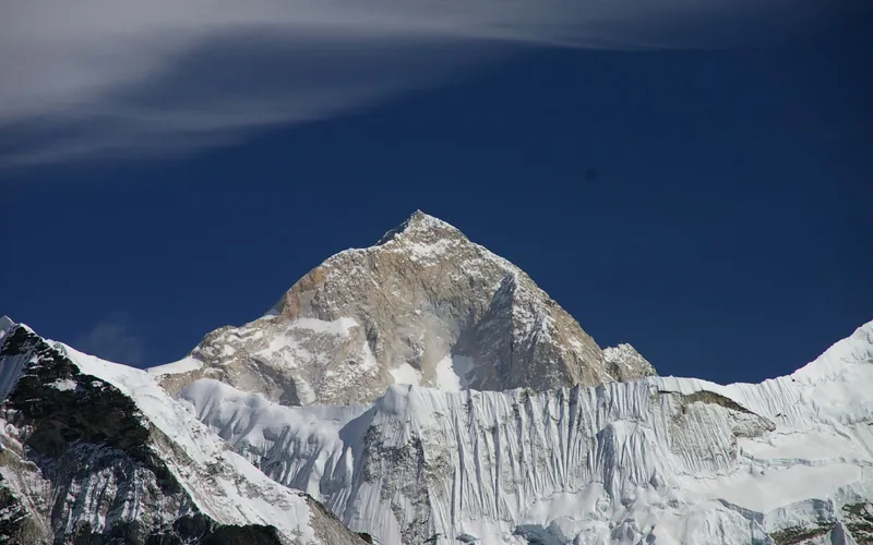


Makalu
Makalu, at 8,485 meters (27,838 ft), is the fifth-highest mountain on Earth, located 19 km southeast of Mount Everest. An isolated four-sided granite pyramid, it is known for technical knife-edge ridges, severe exposure, and punishing weather, making it one of the most challenging eight-thousanders.
Documented Expeditions on this Route (4)
Verified historical summits, siege campaigns, and pioneer attempts recorded on Makalu Northwest Ridge (French Route).
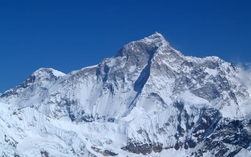
1955 French Makalu Expedition
Led by Jean Franco, the 1955 French expedition achieved the historic first ascent of Makalu (8,485m) on May 15, 1955, when Lionel Terray and Jean Couzy reached the summit, followed over the next two days by every single climbing member.
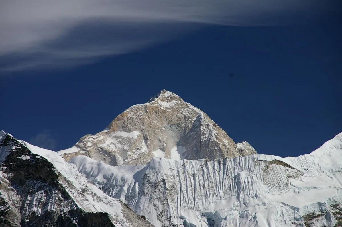
2009 Simone Moro & Denis Urubko Makalu Winter First Ascent
On February 9, 2009, Italian mountaineer Simone Moro and Kazakh-Polish alpinist Denis Urubko achieved the historic first winter ascent of Makalu (8,485m), climbing via the French Route in hurricane winds and temperatures below -40°C without supplemental bottled oxygen.
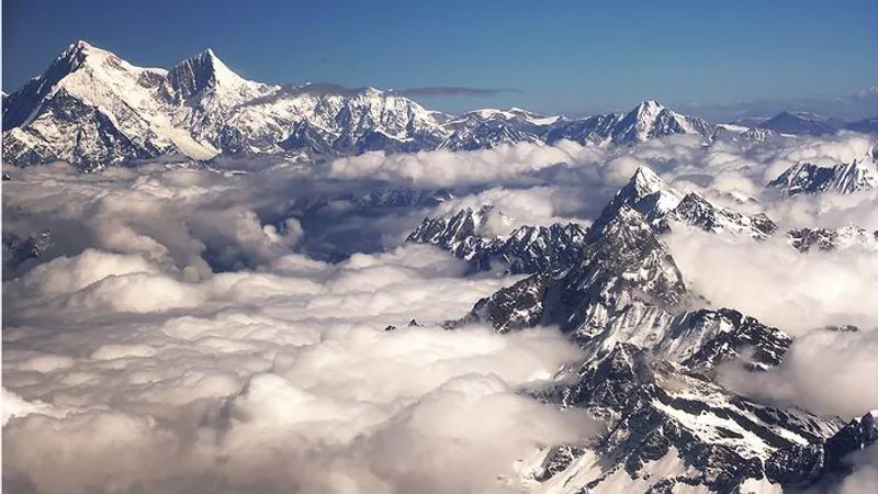
Project Possible 14/7: The 189-Day 14-Peak Odyssey
Led by former British Gurkha and Special Boat Service (SBS) operator Nirmal 'Nimsdai' Purja MBE, Project Possible 14/7 shattered the world speed record by summiting all fourteen 8,000-meter peaks in 6 months and 6 days (189 days), smashing the prior record of nearly eight years.
2019 Nirmal Purja Makalu Expedition
Nirmal Purja summited Makalu (8,485m) via the Northwest Ridge on May 24, 2019, completing an unprecedented sweep of Everest, Lhotse, and Makalu within 48 hours to conclude Phase One.
Archival Chronicles & Stories on this Route (4)
In-depth longform historical narratives, harrowing survival accounts, and firsthand alpine journals on Makalu Northwest Ridge (French Route).
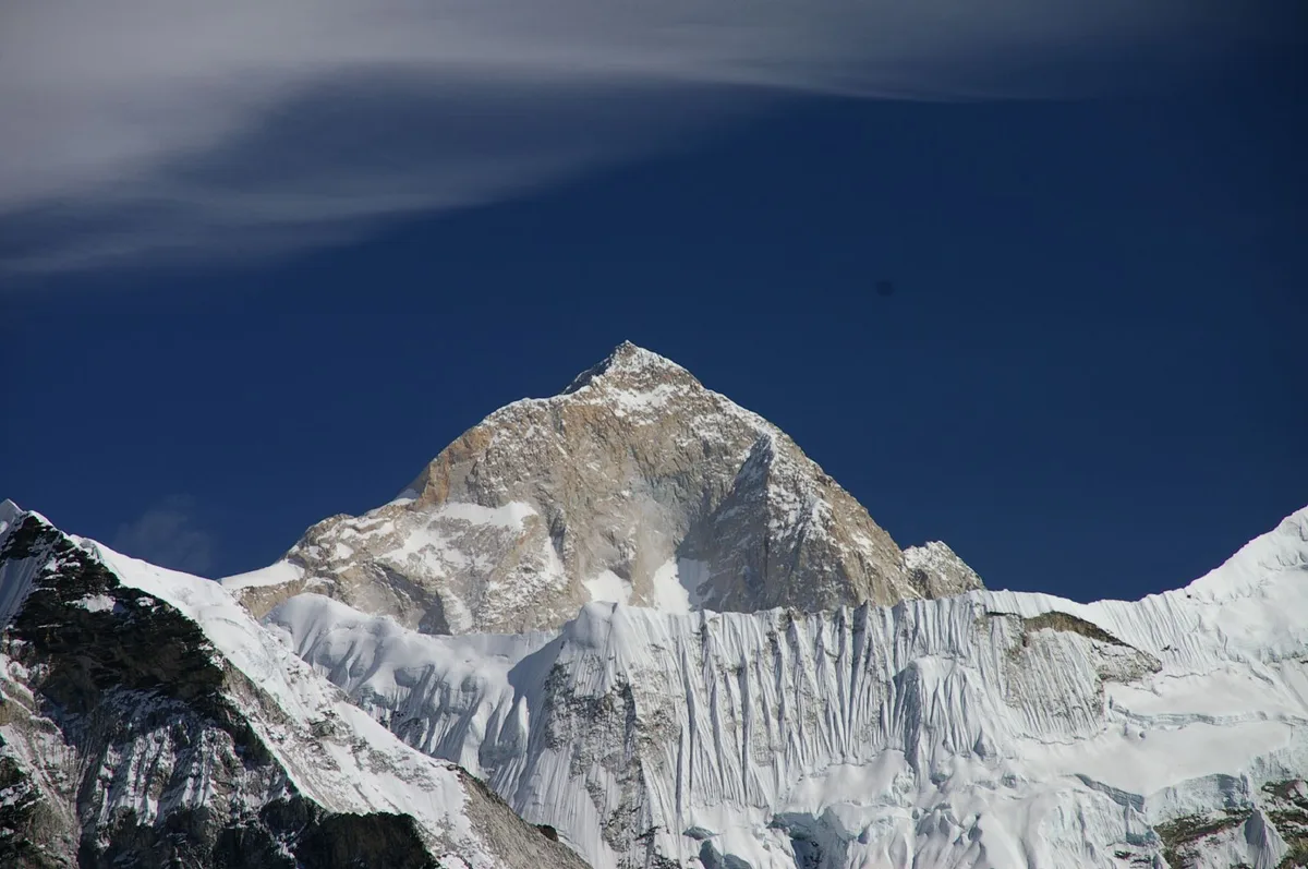
The Iron Winter: Simone Moro and Denis Urubko Conquer Makalu
On February 9, 2009, Simone Moro and Denis Urubko completed the historic first winter ascent of Makalu at -40°C in pure alpine style without supplemental oxygen.
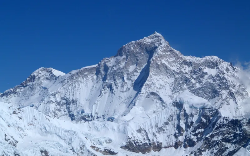
Makalu 1955: The Flawless Triumph of Lionel Terray and Jean Couzy
On May 15, 1955, Lionel Terray and Jean Couzy conquered the terrifying granite pyramid of Makalu (8,485m), launching a legendary three-day assault that placed all nine expedition climbers on the summit.
Makalu: Sealing the Unbelievable 48-Hour Triple Crown
Nirmal Purja completes Everest, Lhotse, and Makalu in 48 hours and 30 minutes, concluding Phase One of Project Possible.
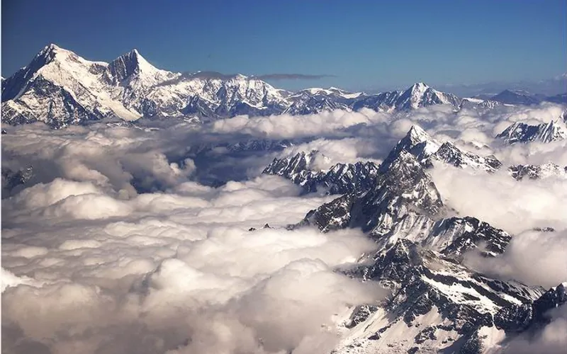
Project Possible 14/7: The 189-Day Himalayan Odyssey
How Nirmal 'Nimsdai' Purja and his Nepali team climbed all fourteen 8,000-meter peaks in 189 days, redefining the boundaries of human endurance.