Manaslu Northeast Face (Normal Route)
The Northeast Face is the standard route on Manaslu, first forged in 1956 by a Japanese expedition. Ascending from the Manaslu Glacier above the village of Samagaon, the route climbs through an active, heavily crevassed icefall between Camps 1 and 2, traverses wide snow plateaus up to Camp 4, and culminates in a delicate, exposed knife-edge snow arête leading to the true summit pin.
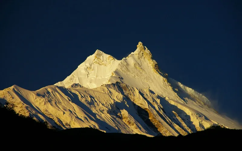
Ascent line, technical cruxes & camp topography profile for Manaslu Northeast Face (Normal Route)
Mountain Safety & Conditions Disclaimer: High-altitude climbing, glacial travel, and technical ascents entail severe objective risks including avalanches, serac collapses, rapid weather collapse, and altitude illness. Historical route descriptions and summit claims on Mountanity reflect documented archival sources and must not be used as live operational safety assessments. Local regulations, permits, and physical glacial topography change continuously.
Peer Review: Senior Editorial Board & Historical Reviewers • Editorial Standards
Tactical & Camp Notes
Historically, many climbers stopped at the prominent fore-summit; reaching the true summit requires navigating an airy, corniced knife-edge ridge above 8,140m.
Identified Objective Hazards
- •Severe post-monsoon slab avalanches between Camp 1 and Camp 2 on the icefall slopes
- •Heavy serac collapse and dynamic crevasse opening across the lower glacier
- •Extreme exposure and precarious snow cornices on the final knife-edge summit traverse
- •Deep trail-breaking through heavy autumn snowpacks in the upper basin
Interactive Elevation Profile
Vertical profile, technical cruxes, and camp staging progression for Manaslu Northeast Face (Normal Route) on Manaslu.
Pitched on a rocky moraine ridge above Samagaon, directly overlooking the Manaslu Glacier.
Camp-by-Camp Topography
Key staging altitudes, technical cruxes, and terrain transitions for Manaslu Northeast Face (Normal Route).
Base Camp
Pitched on a rocky moraine ridge above Samagaon, directly overlooking the Manaslu Glacier.
Camp I
Located at the foot of the steep, heavily crevassed Manaslu icefall on a flat glacier shelf.
The Icefall & Camp II
Positioned above the steep icefall maze, where fixed ladders and ropes span active crevasses.
Camp III
Situated on a vast, gentle snow plateau exposed to high winds and heavy autumn snow accumulation.
Camp IV
The high assault camp nestled beneath the steepening headwall of the upper Northeast Face.
The Knife-Edge Summit Ridge
An exposed, corniced razor-sharp snow arête connecting the fore-summit to the true highest point.
Manaslu True Summit
The tiny, perched snow point marking the true summit of the Mountain of the Spirit.
Topographic Location & Terrain Map
Cartographic datum, massif coordinates, and terrain context for Manaslu Northeast Face (Normal Route) on Manaslu.
Interactive Topographic Terrain Map
Click below to load live cartographic contours, glacier approaches, and geographic markers for Manaslu (28°32′59″ N, 84°33′39″ E).
Key Statistics & Topographic Figures
- Route Type
- Standard / Normal Route
Topography
- Technical Difficulty
- Demanding / Grade IV, D+
Alpine IV, 40°-50° snow slopes, exposed knife-edge crest
- Country / Region
- Nepal (Mansiri Himal / Gorkha)
Location
Archival Primary Source Quotations
“A mountain route is not merely a path of rock and ice; it is a test of human endurance, judgment, and humility.”
Defined Alpine Terminology & Concepts
- Crux
- The most difficult and technically demanding pitch or section of a climbing route.
- Normal Route (Voie Normale)
- The most frequently climbed, least technical, and historically standard path to a mountain summit.
Frequently Asked Questions: Manaslu Northeast Face (Normal Route)
What is the climbing difficulty and grade of Manaslu Northeast Face (Normal Route)?
Manaslu Northeast Face (Normal Route) on manaslu is graded as Demanding / Grade IV, D+, with technical climbing requirements including Alpine IV, 40°-50° snow slopes, exposed knife-edge crest.
What are the primary hazards on the Manaslu Northeast Face (Normal Route)?
Climbers on Manaslu Northeast Face (Normal Route) must navigate severe objective hazards including Severe post-monsoon slab avalanches between Camp 1 and Camp 2 on the icefall slopes, Heavy serac collapse and dynamic crevasse opening across the lower glacier, Extreme exposure and precarious snow cornices on the final knife-edge summit traverse, Deep trail-breaking through heavy autumn snowpacks in the upper basin.
What camps are established on Manaslu Northeast Face (Normal Route)?
Manaslu Northeast Face (Normal Route) typically features 7 staging camps, progressing from Base Camp (4800m) up toward the summit.
Mountain Ascended

Manaslu
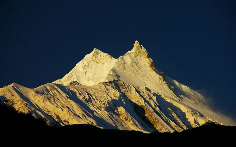
Manaslu, at 8,163 meters (26,781 ft), is the eighth-highest mountain in the world, situated in the Mansiri Himal of west-central Nepal. Known as the 'Mountain of the Spirit', its long ridges and valley glaciers offer dramatic topography culminating in a delicate, exposed knife-edge summit crest.
Documented Expeditions on this Route (4)
Verified historical summits, siege campaigns, and pioneer attempts recorded on Manaslu Northeast Face (Normal Route).
1956 Japanese Manaslu Expedition
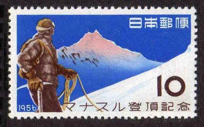
Led by Aritsune Maki, this historic Japanese Alpine Club expedition made the first ascent of Manaslu (8,163m) on May 9, 1956, when Toshio Imanishi and Sherpa Sirdar Gyalzen Norbu conquered the Mountain of the Spirit, followed two days later by Kiichiro Kato and Minoru Higeta.
Project Possible 14/7: The 189-Day 14-Peak Odyssey
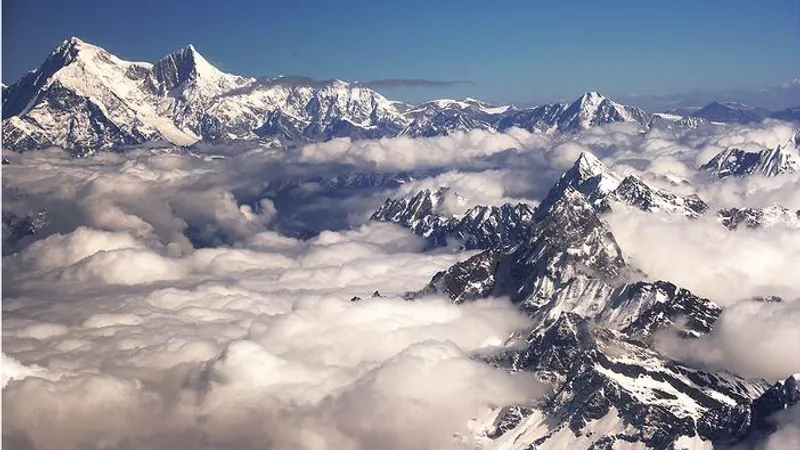
Led by former British Gurkha and Special Boat Service (SBS) operator Nirmal 'Nimsdai' Purja MBE, Project Possible 14/7 shattered the world speed record by summiting all fourteen 8,000-meter peaks in 6 months and 6 days (189 days), smashing the prior record of nearly eight years.
2019 Nirmal Purja Manaslu Expedition
Nirmal Purja reached the summit of Manaslu (8,163m) via the Northeast Face on September 27, 2019, just four days after Cho Oyu, conquering his thirteenth 8,000-meter giant.
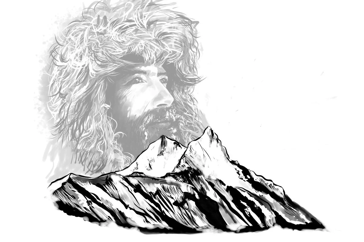
2023 Alex Txikon Manaslu Winter Expedition
On January 6, 2023, Basque mountaineer Alex Txikon and a team of six Sherpa climbers conquered Manaslu (8,163m) in astronomical winter without supplemental bottled oxygen, climbing from Base Camp to the true summit in an astonishing sixty hours.
Archival Chronicles & Stories on this Route (5)
In-depth longform historical narratives, harrowing survival accounts, and firsthand alpine journals on Manaslu Northeast Face (Normal Route).
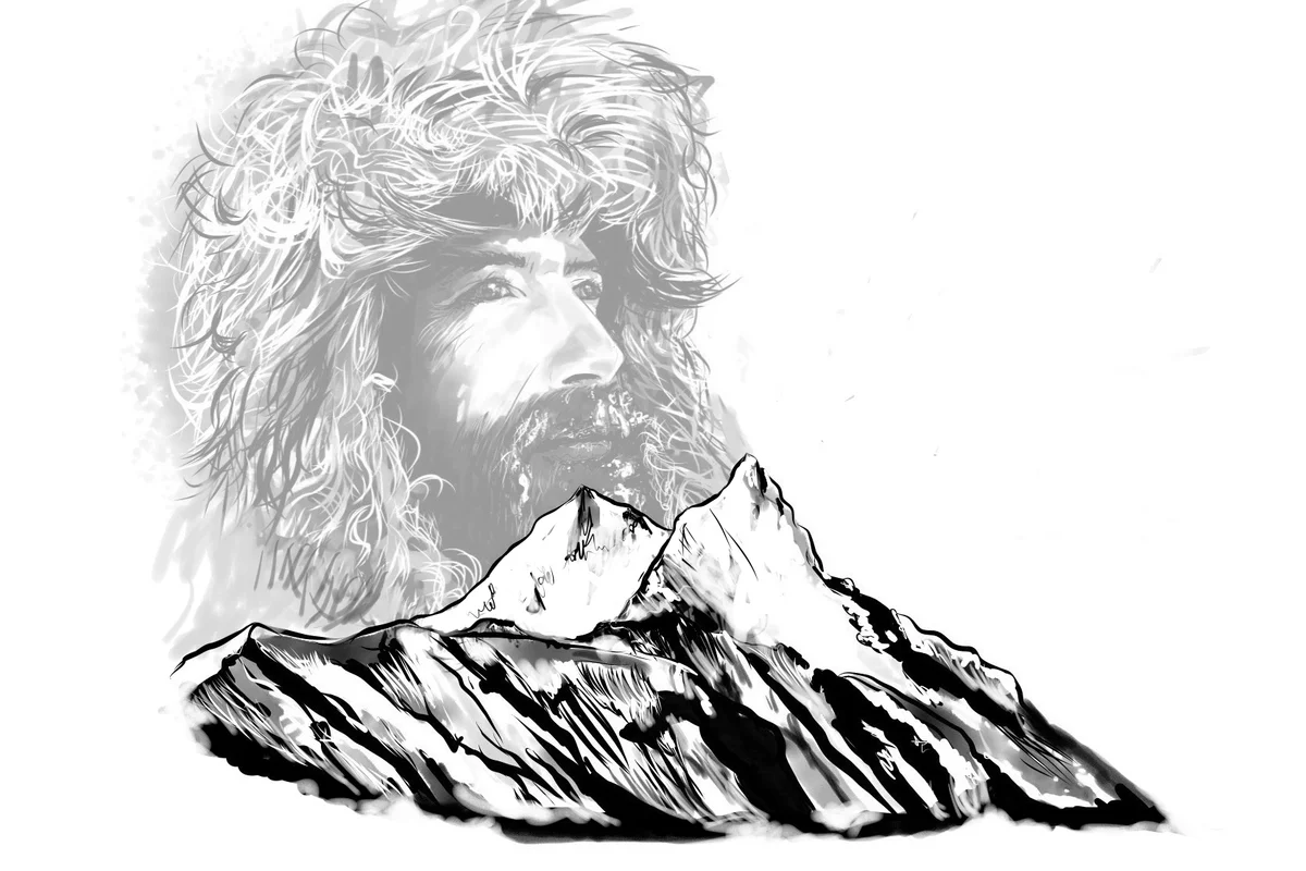
The Winter Express: Alex Txikon Conquers Manaslu in 60 Hours
On January 6, 2023, Basque winter specialist Alex Txikon and six Sherpa companions conquered Manaslu in astronomical winter without oxygen, executing a blistering 60-hour sprint.
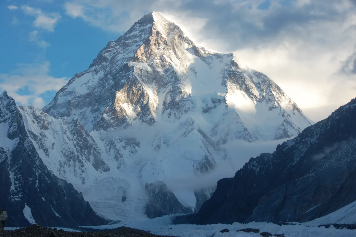
The Son of the Mountain: Sajid Ali Sadpara's Oxygen-Free Alpine Triumphs Across K2 and the 8,000ers
Carrying the torch of his legendary father Muhammad Ali Sadpara, Pakistani alpinist Sajid Ali Sadpara has redefined modern high-altitude climbing by conquering K2, Nanga Parbat, Manaslu, and Annapurna without bottled oxygen.
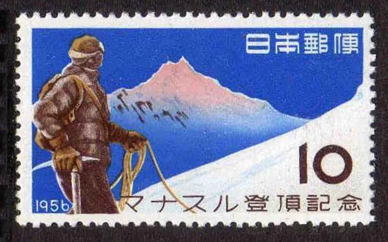
Manaslu 1956: The Japanese Triumph on the Mountain of the Spirit
On May 9, 1956, Toshio Imanishi and Sherpa Sirdar Gyalzen Norbu stood atop Manaslu (8,163m), overcoming years of cultural standoff and extreme high-altitude terrain to claim Japan's first eight-thousander.
Manaslu: Four Days After Cho Oyu, Thirteenth Giant Won
Nirmal Purja races back to Nepal to summit Manaslu just four days after Cho Oyu, claiming peak number thirteen.
Project Possible 14/7: The 189-Day Himalayan Odyssey
How Nirmal 'Nimsdai' Purja and his Nepali team climbed all fourteen 8,000-meter peaks in 189 days, redefining the boundaries of human endurance.