Southwest Ridge (Normal Route)
The Southwest Ridge is the standard and historically celebrated route on Gasherbrum II (8,035m). Starting from the South Gasherbrum Glacier, climbers navigate the heavily crevassed lower icefall into the Gasherbrum Cwm before tackling the technical crux of the route: the steep mixed snow and ice crest known as the Banana Ridge.
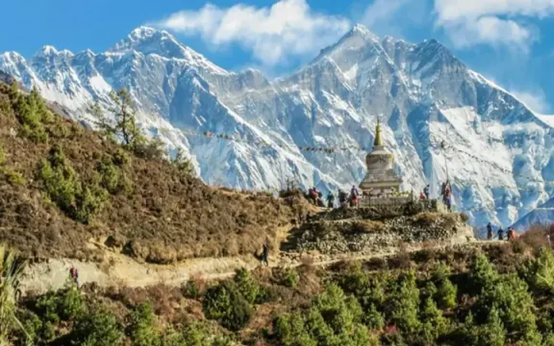
Ascent line, technical cruxes & camp topography profile for Southwest Ridge (Normal Route)
Mountain Safety & Conditions Disclaimer: High-altitude climbing, glacial travel, and technical ascents entail severe objective risks including avalanches, serac collapses, rapid weather collapse, and altitude illness. Historical route descriptions and summit claims on Mountanity reflect documented archival sources and must not be used as live operational safety assessments. Local regulations, permits, and physical glacial topography change continuously.
Peer Review: Senior Editorial Board & Historical Reviewers • Editorial Standards
Tactical & Camp Notes
Considered the least technically lethal of Pakistan's 8,000-meter peaks, G-II nonetheless presents acute objective dangers in the lower icefall and extreme avalanche risk following fresh summer snowfall in the upper bowl.
Identified Objective Hazards
- •Severe crevasse collapse and shifting ice bridges in the heavily fractured lower Gasherbrum Icefall
- •High slab avalanche vulnerability across the upper snow bowl between Camp III and Camp IV after Karakoram storms
- •Extreme wind exposure on the narrow Banana Ridge with drops into the South Gasherbrum basin
- •Rapid hypothermia and cerebral edema during prolonged summit pushes in the Death Zone above 7,500m
Historical Context
First climbed on July 7, 1956, by Fritz Moravec, Josef Larch, and Hans Willenpart. Scaled in revolutionary alpine style without oxygen on July 24, 1982, by Reinhold Messner, Nazir Sabir, and Col. Sher Khan.
Interactive Elevation Profile
Vertical profile, technical cruxes, and camp staging progression for Southwest Ridge (Normal Route) on Gasherbrum II.
Established on the moraine of the South Gasherbrum Glacier near the junction of the Abruzzi and Gasherbrum glaciers.
Camp-by-Camp Topography
Key staging altitudes, technical cruxes, and terrain transitions for Southwest Ridge (Normal Route).
Base Camp
Established on the moraine of the South Gasherbrum Glacier near the junction of the Abruzzi and Gasherbrum glaciers.
Camp I
Pitched on the upper snow plateau of the Gasherbrum Cwm after ascending a labyrinth of open crevasses and unstable seracs in the lower icefall.
Camp II & The Banana Ridge
Located on small snow platforms beneath the prominent curved, knife-edge mixed ice spur nicknamed the Banana Ridge.
Camp III
Perched on the crest of the ridge above the technical mixed ground, offering panoramic views across the entire Baltoro glacier system.
Camp IV (High Camp)
Situated in a broad, wind-swept glacial amphitheater directly beneath the final summit pyramid in the Death Zone.
Gasherbrum II Summit
Reached via a steep 45-degree diagonal snow and mixed couloir breaking through the summit headwall to the highest point.
Topographic Location & Terrain Map
Cartographic datum, massif coordinates, and terrain context for Southwest Ridge (Normal Route) on Gasherbrum II.
Interactive Topographic Terrain Map
Click below to load live cartographic contours, glacier approaches, and geographic markers for Gasherbrum II (35°45′30″ N, 76°39′12″ E).
Key Statistics & Topographic Figures
- Route Type
- Standard / Normal Route
Topography
- Technical Difficulty
- Demanding High-Altitude Alpine / Grade IV, AD+
Alpine III+, 55° ice on Banana Ridge, mixed rock bands
- Country / Region
- Pakistan (Gilgit-Baltistan / Karakoram)
Location
Archival Primary Source Quotations
“A mountain route is not merely a path of rock and ice; it is a test of human endurance, judgment, and humility.”
Defined Alpine Terminology & Concepts
- Crux
- The most difficult and technically demanding pitch or section of a climbing route.
- Normal Route (Voie Normale)
- The most frequently climbed, least technical, and historically standard path to a mountain summit.
Frequently Asked Questions: Southwest Ridge (Normal Route)
What is the climbing difficulty and grade of Southwest Ridge (Normal Route)?
Southwest Ridge (Normal Route) on gasherbrum-2 is graded as Demanding High-Altitude Alpine / Grade IV, AD+, with technical climbing requirements including Alpine III+, 55° ice on Banana Ridge, mixed rock bands.
What are the primary hazards on the Southwest Ridge (Normal Route)?
Climbers on Southwest Ridge (Normal Route) must navigate severe objective hazards including Severe crevasse collapse and shifting ice bridges in the heavily fractured lower Gasherbrum Icefall, High slab avalanche vulnerability across the upper snow bowl between Camp III and Camp IV after Karakoram storms, Extreme wind exposure on the narrow Banana Ridge with drops into the South Gasherbrum basin, Rapid hypothermia and cerebral edema during prolonged summit pushes in the Death Zone above 7,500m.
What camps are established on Southwest Ridge (Normal Route)?
Southwest Ridge (Normal Route) typically features 6 staging camps, progressing from Base Camp (5100m) up toward the summit.
Mountain Ascended
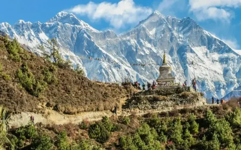


Gasherbrum II
Gasherbrum II, standing at 8,035 meters (26,362 ft), is the thirteenth-highest mountain on Earth and the third-highest peak of the Gasherbrum massif in the Karakoram. Located at the head of the Baltoro Glacier on the Pakistan-China frontier, it features a classic pyramidal profile with challenging ice couloirs. First summited in 1956 by an Austrian team, it was famously climbed in pure alpine style in 1982 by Reinhold Messner, Nazir Sabir, and Sher Khan.
Documented Expeditions on this Route (6)
Verified historical summits, siege campaigns, and pioneer attempts recorded on Southwest Ridge (Normal Route).
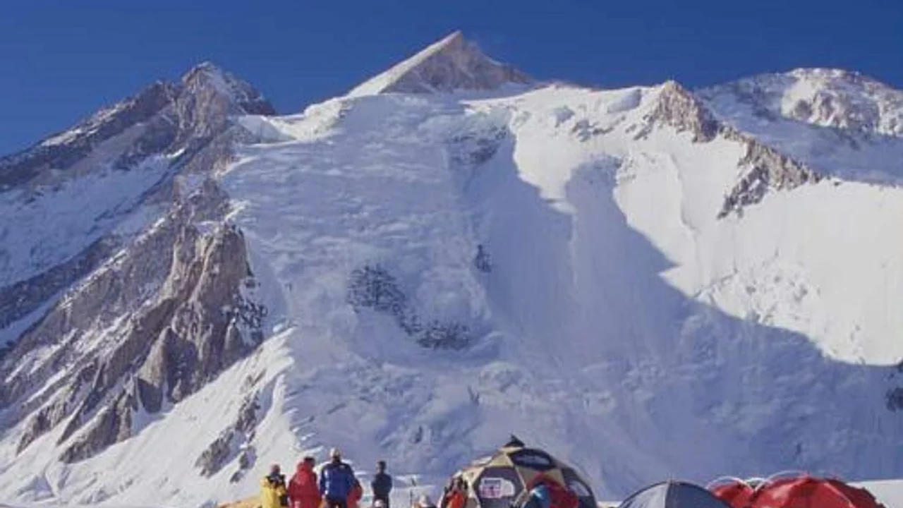
1956 Austrian Karakoram Expedition to Gasherbrum II
The landmark Austrian expedition led by Fritz Moravec that achieved the maiden first ascent of Gasherbrum II (8,035m) via the Southwest Ridge without supplemental oxygen on July 7, 1956.
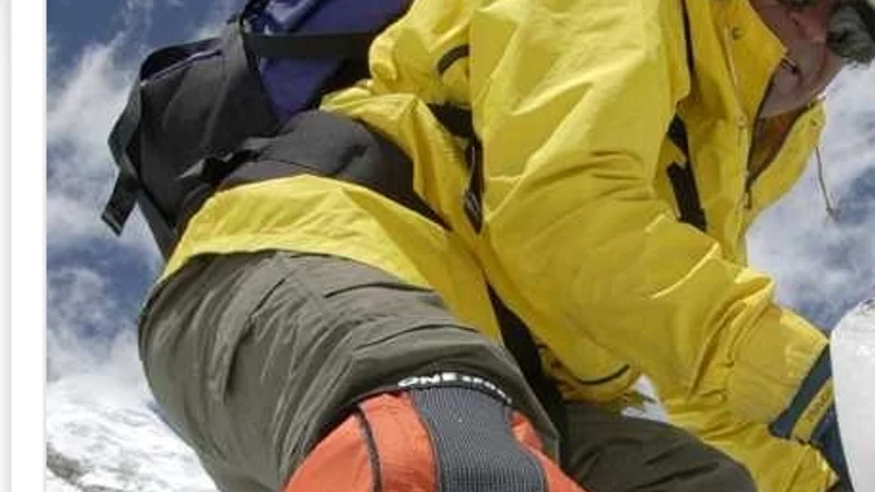
1982 Messner-Sabir Karakoram Alpine Traverse
Revolutionary lightweight expedition with Reinhold Messner, Nazir Sabir, and Sher Khan, summiting Gasherbrum II and Broad Peak within 9 days without oxygen.
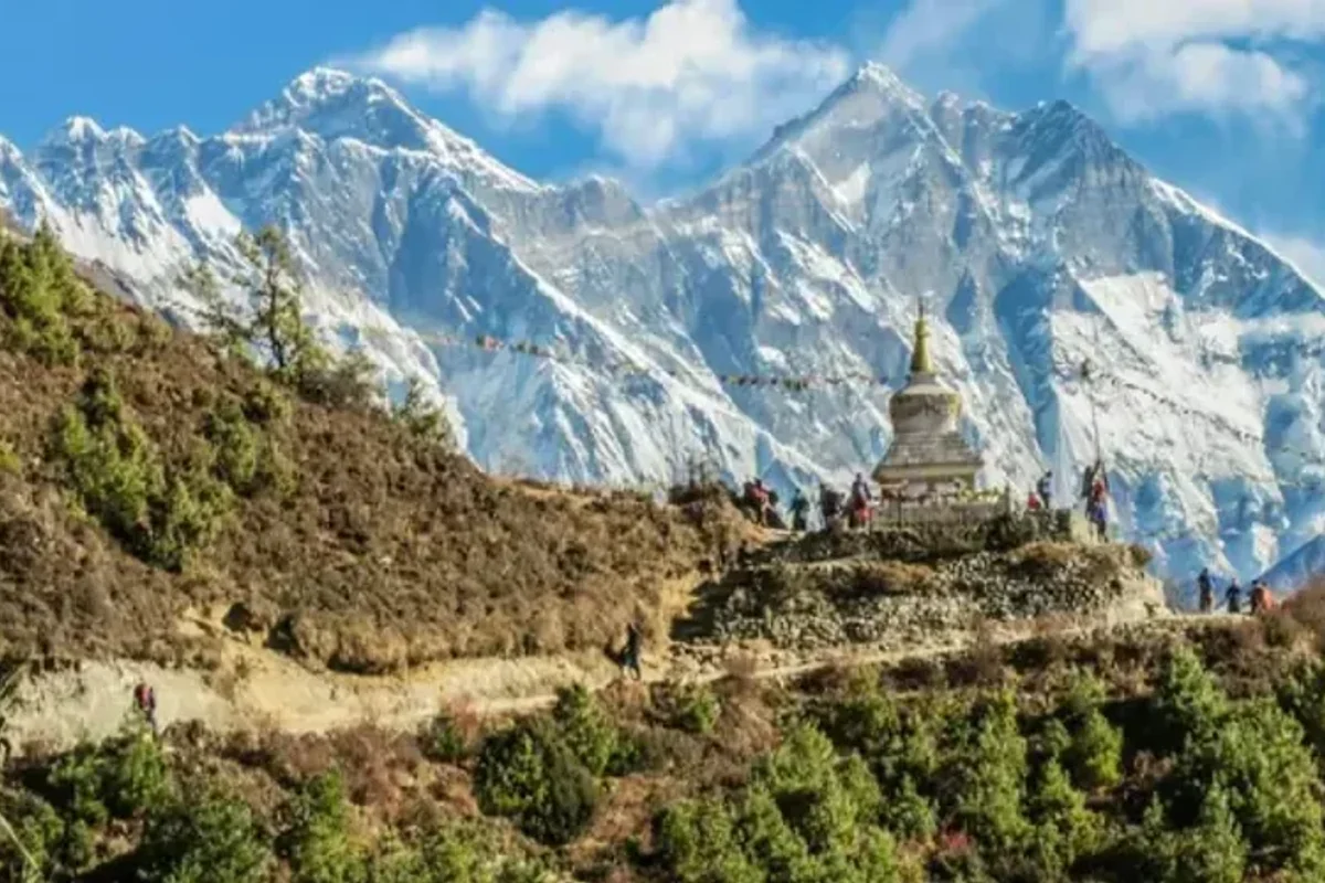
1985 Little Karim Gasherbrum II Expedition
In summer 1985, legendary Balti high-altitude porter Mohammad Karim (Little Karim) from Hushe defied all physical expectations by summiting Gasherbrum II (8,035m) without supplemental bottled oxygen, cementing his status as an immortal icon of the Karakoram.
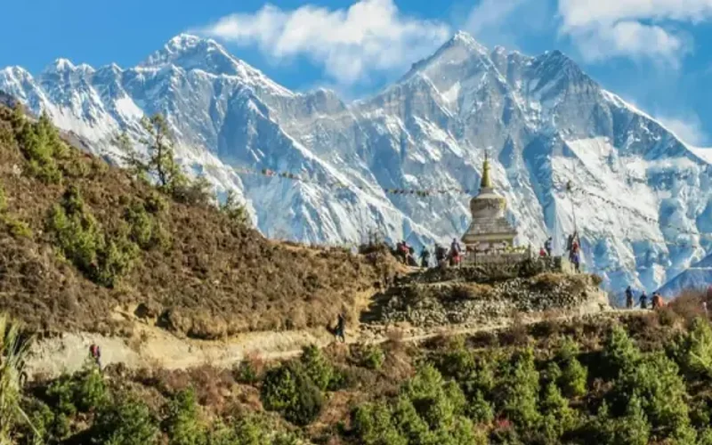
2011 Gasherbrum II Winter First Ascent Expedition
On February 2, 2011, Simone Moro, Denis Urubko, and Cory Richards completed the historic first winter ascent of Gasherbrum II (8,035m), achieving the very first winter conquest of an eight-thousander in Pakistan and the Karakoram range in extreme conditions.
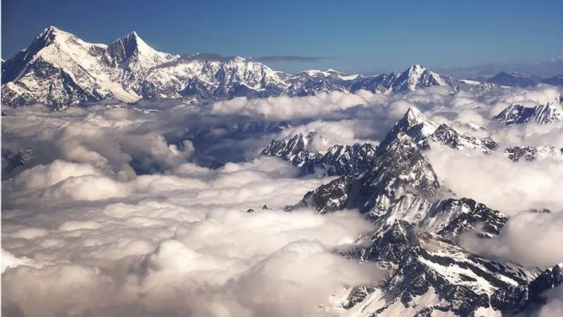
Project Possible 14/7: The 189-Day 14-Peak Odyssey
Led by former British Gurkha and Special Boat Service (SBS) operator Nirmal 'Nimsdai' Purja MBE, Project Possible 14/7 shattered the world speed record by summiting all fourteen 8,000-meter peaks in 6 months and 6 days (189 days), smashing the prior record of nearly eight years.
2019 Nirmal Purja Gasherbrum II Speed Ascent
Nirmal Purja summited Gasherbrum II (8,035m) via the Southwest Ridge on July 18, 2019, completing a blistering 72-hour double ascent across the rugged Gasherbrum massif.
Archival Chronicles & Stories on this Route (6)
In-depth longform historical narratives, harrowing survival accounts, and firsthand alpine journals on Southwest Ridge (Normal Route).
The Iron Porter of Hushe: Little Karim's Oxygenless Ascent of Gasherbrum II
In summer 1985, five-foot-tall Balti high-altitude porter Mohammad Karim conquered Gasherbrum II (8,035m) without bottled oxygen, establishing the immortal legacy of Balti mountaineers.
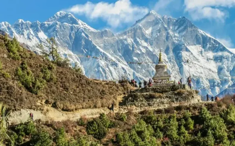
Cold: The Historic First Winter Ascent of Gasherbrum II
On February 2, 2011, Simone Moro, Denis Urubko, and Cory Richards made history with the first winter ascent of Gasherbrum II, surviving a near-fatal avalanche on descent.
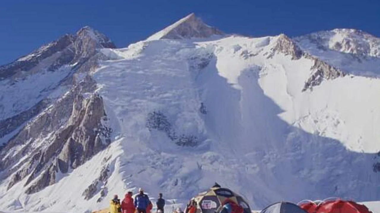
Gasherbrum II 1956: The Austrian Conquest of the Shining Mountain
On July 7, 1956, Fritz Moravec, Josef Larch, and Hans Willenpart conquered the formidable Southwest Ridge of Gasherbrum II (8,035m), triumphing without supplemental oxygen over lost depots, shattered seracs, and the razor crest of the Banana Ridge.
1982 Karakoram Double: The Messner-Sabir Alpine Blitz
How Reinhold Messner and Nazir Sabir climbed Gasherbrum II and Broad Peak in lightweight alpine style within one week in 1982.
Gasherbrum II: The 72-Hour Karakoram Double-Header Climb
Nirmal Purja summits Gasherbrum II just 72 hours after Gasherbrum I, maintaining fierce momentum across the Karakoram.
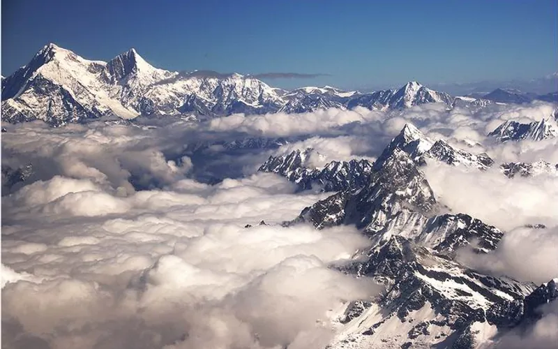
Project Possible 14/7: The 189-Day Himalayan Odyssey
How Nirmal 'Nimsdai' Purja and his Nepali team climbed all fourteen 8,000-meter peaks in 189 days, redefining the boundaries of human endurance.
Documented Sources & Archival Citations
- Weisse Berge, Schwarze Menschen(Fritz Moravec / Oesterreichischer Bundesverlag)
Supporting claim: Official account of the 1956 Austrian first ascent
Accessed/Documented: 1958 - American Alpine Journal: 1982 Karakoram Expeditions(American Alpine Club)
Supporting claim: Account of the Messner, Sabir, and Khan alpine style ascent
Accessed/Documented: 1983