Shishapangma Northwest Ridge (Normal Route)
The Northwest Ridge is the standard route on Shishapangma, situated entirely in Tibet and first ascended by a Chinese expedition in 1964. Approached from the dry, high-altitude plateau of southern Tibet, the route climbs gently sloping glaciers to an upper plateau, gains the Central Peak (8,008m), and traverses a knife-edge snow arête with massive drop-offs to reach the true Main Summit at 8,027m.
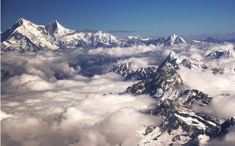
Ascent line, technical cruxes & camp topography profile for Shishapangma Northwest Ridge (Normal Route)
Mountain Safety & Conditions Disclaimer: High-altitude climbing, glacial travel, and technical ascents entail severe objective risks including avalanches, serac collapses, rapid weather collapse, and altitude illness. Historical route descriptions and summit claims on Mountanity reflect documented archival sources and must not be used as live operational safety assessments. Local regulations, permits, and physical glacial topography change continuously.
Peer Review: Senior Editorial Board & Historical Reviewers • Editorial Standards
Tactical & Camp Notes
Many commercial expeditions conclude at the Central Summit (8,008m); reaching the true Main Summit (8,027m) demands a precarious 2-hour knife-edge traverse across delicate snow cornices.
Identified Objective Hazards
- •Severe wind slab avalanches on the broad northwest face following Tibetan blizzards
- •Fragile, collapsing snow cornices on the exposed knife-edge traverse to the true summit
- •Extreme high-altitude dehydration and frostbite caused by hyper-arid Tibetan plateau winds
- •Crevasses on the lower Yebokangal Glacier hidden beneath seasonal wind-blown snow
Interactive Elevation Profile
Vertical profile, technical cruxes, and camp staging progression for Shishapangma Northwest Ridge (Normal Route) on Shishapangma.
Located on the flat, desolate gravel plain of the high Tibetan plateau accessible by motor transport.
Camp-by-Camp Topography
Key staging altitudes, technical cruxes, and terrain transitions for Shishapangma Northwest Ridge (Normal Route).
Chinese Base Camp
Located on the flat, desolate gravel plain of the high Tibetan plateau accessible by motor transport.
Advanced Base Camp (ABC)
Established at the tongue of the Yebokangal Glacier facing the northern walls of Shishapangma.
Camp I
Positioned on the upper Yebokangal Glacier amidst gently rolling snow slopes.
Camp II
Pitched at the foot of the Northwest Face headwall on a sheltered glacial terrace.
Camp III
The high assault camp placed on steep snow slopes below the summit ridge crest in the Death Zone.
The Central Summit & Ridge Traverse
The knife-edge snow cornice traverse linking the Central Peak (8,008m) to the true Main Peak.
Shishapangma Main Summit
The true highest point of Shishapangma, the fourteenth and final eight-thousander.
Topographic Location & Terrain Map
Cartographic datum, massif coordinates, and terrain context for Shishapangma Northwest Ridge (Normal Route) on Shishapangma.
Interactive Topographic Terrain Map
Click below to load live cartographic contours, glacier approaches, and geographic markers for Shishapangma (28°21′08″ N, 85°46′47″ E).
Key Statistics & Topographic Figures
- Route Type
- Standard / Normal Route
Topography
- Technical Difficulty
- Demanding / Grade IV, D
Alpine IV, 45° snow/ice, exposed knife-edge connecting ridge
- Country / Region
- China (Tibet Autonomous Region / Nyalam)
Location
Archival Primary Source Quotations
“A mountain route is not merely a path of rock and ice; it is a test of human endurance, judgment, and humility.”
Defined Alpine Terminology & Concepts
- Crux
- The most difficult and technically demanding pitch or section of a climbing route.
- Normal Route (Voie Normale)
- The most frequently climbed, least technical, and historically standard path to a mountain summit.
Frequently Asked Questions: Shishapangma Northwest Ridge (Normal Route)
What is the climbing difficulty and grade of Shishapangma Northwest Ridge (Normal Route)?
Shishapangma Northwest Ridge (Normal Route) on shishapangma is graded as Demanding / Grade IV, D, with technical climbing requirements including Alpine IV, 45° snow/ice, exposed knife-edge connecting ridge.
What are the primary hazards on the Shishapangma Northwest Ridge (Normal Route)?
Climbers on Shishapangma Northwest Ridge (Normal Route) must navigate severe objective hazards including Severe wind slab avalanches on the broad northwest face following Tibetan blizzards, Fragile, collapsing snow cornices on the exposed knife-edge traverse to the true summit, Extreme high-altitude dehydration and frostbite caused by hyper-arid Tibetan plateau winds, Crevasses on the lower Yebokangal Glacier hidden beneath seasonal wind-blown snow.
What camps are established on Shishapangma Northwest Ridge (Normal Route)?
Shishapangma Northwest Ridge (Normal Route) typically features 7 staging camps, progressing from Chinese Base Camp (5000m) up toward the summit.
Mountain Ascended
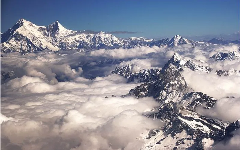

Shishapangma
Shishapangma, at 8,027 meters (26,335 ft), is the fourteenth-highest mountain on Earth and the only 8,000-meter peak situated entirely within Tibetan/Chinese territory. Due to geopolitical restrictions, it was the final eight-thousander to be climbed, summited by a Chinese expedition on May 2, 1964.
Documented Expeditions on this Route (5)
Verified historical summits, siege campaigns, and pioneer attempts recorded on Shishapangma Northwest Ridge (Normal Route).
1964 Chinese Expedition to Shishapangma
The landmark Chinese expedition led by Xu Jing that conquered Shishapangma (8,027m) on May 2, 1964, completing the maiden first ascents of all fourteen 8,000-meter peaks on Earth.
2004 Jean-Christophe Lafaille Shishapangma Solo Winter Expedition
On December 11, 2004, French solo maestro Jean-Christophe Lafaille achieved one of the most audacious feats in high-altitude history by making the first solo winter ascent of Shishapangma (8,027m) via the formidable South Face in brutal temperatures below -45°C without supplemental oxygen.
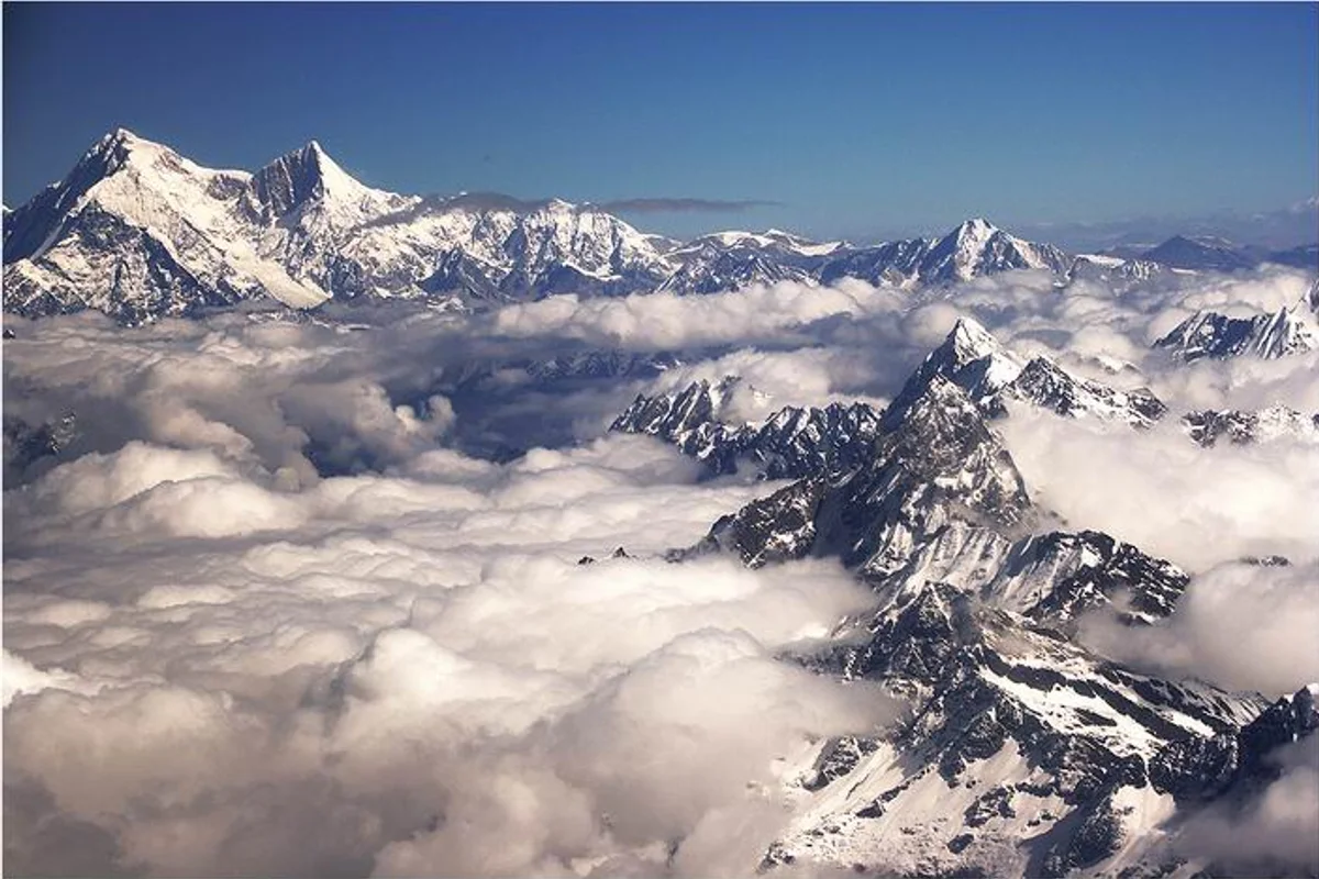
2013 Chhang Dawa Sherpa 14 Eight-Thousanders Shishapangma Expedition
On April 30, 2013, thirty-year-old Nepalese mountaineer Chhang Dawa Sherpa summited Shishapangma (8,027m) in Tibet, completing all fourteen 8,000-metre peaks to become the youngest climber of his generation and forming the world's first sibling pair to conquer all fourteen giants.
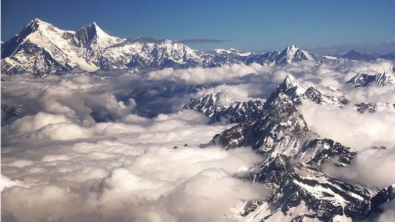
Project Possible 14/7: The 189-Day 14-Peak Odyssey
Led by former British Gurkha and Special Boat Service (SBS) operator Nirmal 'Nimsdai' Purja MBE, Project Possible 14/7 shattered the world speed record by summiting all fourteen 8,000-meter peaks in 6 months and 6 days (189 days), smashing the prior record of nearly eight years.
2019 Nirmal Purja Shishapangma Expedition
Nirmal Purja summited Shishapangma (8,027m) via the Northern Route on October 29, 2019, completing all fourteen 8,000-meter peaks in 189 days to rewrite mountaineering history.
Archival Chronicles & Stories on this Route (5)
In-depth longform historical narratives, harrowing survival accounts, and firsthand alpine journals on Shishapangma Northwest Ridge (Normal Route).
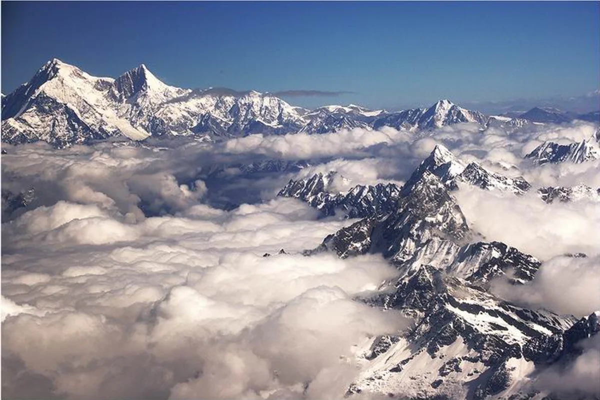
The Solitary Ghost of Shishapangma: Jean-Christophe Lafaille's Winter Masterpiece
On December 11, 2004, French solo master Jean-Christophe Lafaille achieved the first solo winter ascent of Shishapangma (8,027m) via the direct South Face without oxygen.
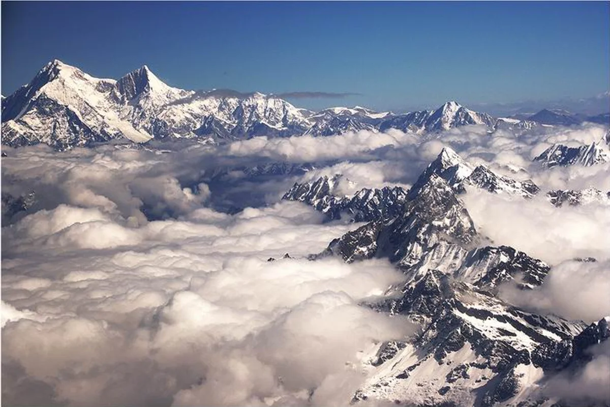
The Sherpa Brothers' Crown: Chhang Dawa's Final Summit on Shishapangma
On April 30, 2013, thirty-year-old Nepalese mountaineer Chhang Dawa Sherpa completed all fourteen 8,000-metre peaks on Shishapangma, making history with his brother Mingma.
Shishapangma 1964: Conquering the Final Eight-Thousander
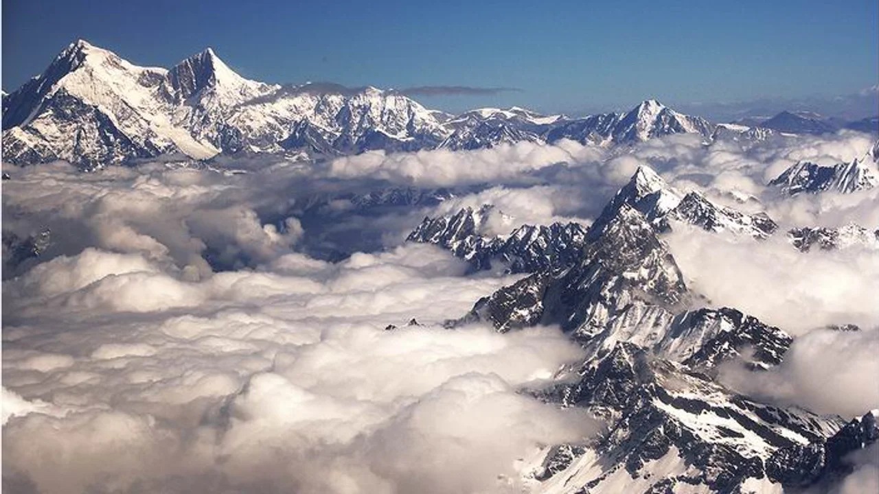
On May 2, 1964, a ten-man Chinese team led by Xu Jing and including Everest hero Wang Fuzhou conquered the 8,027-meter summit of Shishapangma, bringing to a triumphant close the historic golden era of first ascents of the world's 14 eight-thousanders.
Shishapangma: Diplomatic Triumph & 189-Day World Record
How Nirmal Purja secured special Chinese permission to summit Shishapangma, finishing all 14 peaks in 189 days.
Project Possible 14/7: The 189-Day Himalayan Odyssey
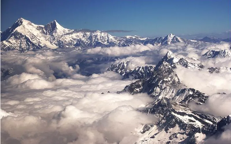
How Nirmal 'Nimsdai' Purja and his Nepali team climbed all fourteen 8,000-meter peaks in 189 days, redefining the boundaries of human endurance.