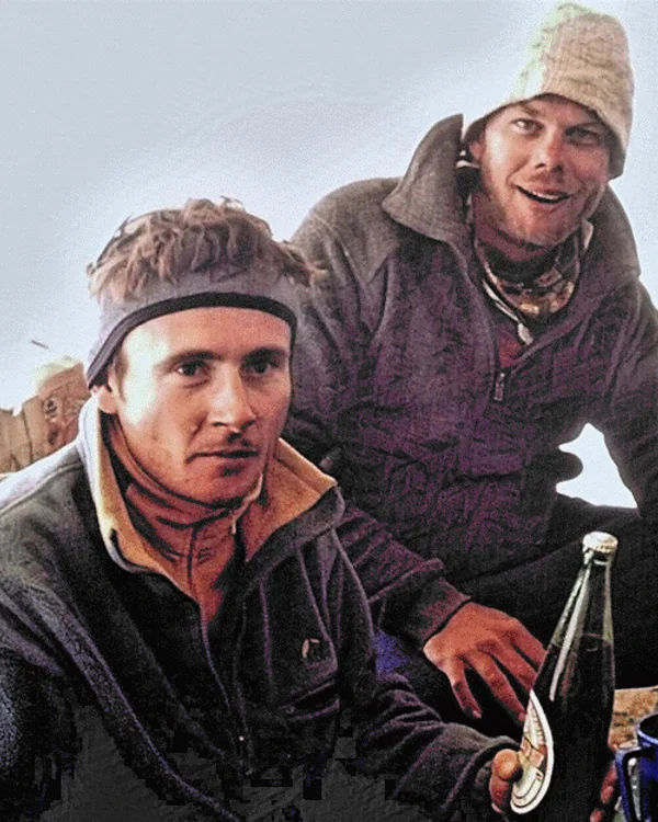
Jean-Christophe Lafaille
Jean-Christophe Lafaille (1965–2006) was a brilliant French master alpinist regarded among the greatest solo high-altitude mountaineers in history. Lafaille climbed eleven 8,000-meter peaks without supplemental oxygen, executing breathtaking solo new routes on Cho Oyu, Manaslu, and Annapurna. His audacious solo winter ascent of Shishapangma South Face in December 2004 stands as an enduring monument to pure, fair-means alpine commitment.
Mountain Safety & Conditions Disclaimer: High-altitude climbing, glacial travel, and technical ascents entail severe objective risks including avalanches, serac collapses, rapid weather collapse, and altitude illness. Historical route descriptions and summit claims on Mountanity reflect documented archival sources and must not be used as live operational safety assessments. Local regulations, permits, and physical glacial topography change continuously.
Peer Review: Senior Editorial Board & Historical Reviewers • Editorial Standards
Biographical Record & Archival Chronicle
Jean-Christophe Lafaille was born on March 31, 1965, in Gap, Hautes-Alpes, France. Beginning as a world-class sport climber and mountain guide in the Dauphiné and Mont Blanc massifs, Lafaille pioneered cutting-edge solo rock lines on the Dru and the Grand Capucin. In 1992, he joined French master Pierre Béghin on an ambitious alpine-style attempt of the treacherous South Face of Annapurna I. High on the face at 7,100 metres during a violent gale, Béghin's single rappel anchor ripped out, plunging Béghin to his death. With his right arm broken by rockfall and stripped of all technical gear except a single 20-meter scrap of rope, Lafaille executed an epic five-day solo self-rescue down the direct wall that is celebrated as one of the greatest survival epics in mountaineering history.
Rather than abandoning high-altitude climbing, Lafaille channeled the tragedy into an unwavering commitment to solo Himalayan alpinism in purist alpine style without supplemental bottled oxygen. In 1993, he opened a new direct solo route on Cho Oyu. In 1994, he made a solo first ascent on Shishapangma Central. In 1996, he achieved an extraordinary back-to-back solo double of Gasherbrum II and Gasherbrum I within four days. In 1998, he conquered the Northwest Face of Annapurna solo. Over the following years, he added Manaslu, K2, Dhaulagiri, Nanga Parbat, Broad Peak, and Makalu, repeatedly executing daring first ascents and speed climbs completely alone on the world's most terrifying faces.
In December 2004, Lafaille achieved what remains one of the crowning triumphs of modern Himalayan exploration: the first solo winter ascent of Shishapangma (8,027m) via the formidable South Face, climbing completely alone in temperatures below −45 °C without supplemental oxygen. In January 2006, Lafaille launched an audacity-laden solo winter attempt on Makalu (8,485m), an eight-thousander never before climbed in winter. Climbing alone past 7,600 metres on the technical upper pyramid, Lafaille communicated with his wife Kátia by satellite phone on the morning of January 26, reporting that he was setting out for the summit. He was never seen again. Lafaille's peerless courage, pure ethical vision, and romantic devotion to fair-means solo alpinism place him alongside Walter Bonatti and Jerzy Kukuczka among the transcendent deities of mountain history.
Notable Milestones & Ascents
- Completed eleven of the fourteen 8,000-meter peaks entirely without supplemental bottled oxygen, mostly solo or in small teams
- Achieved the historic first solo winter ascent of Shishapangma (8,027m) via the South Face on December 11, 2004
- Survived an epic five-day solo self-rescue with a fractured arm down the South Face of Annapurna in October 1992 following the tragic death of Pierre Béghin
- Conquered Gasherbrum II and Gasherbrum I back-to-back solo in a phenomenal four-day window in 1996
- Established historic new solo technical routes on Cho Oyu (1993) and Annapurna (1998)
- Author of the celebrated autobiographical memoir 'Prisonnier de l'Annapurna' (Prisoner of Annapurna)
Key Statistics & Topographic Figures
- Archive Classification
- MOUNTAINEERS
Mountanity Knowledge Corpus
- Verification Status
- Editorially Verified
Archival Standards
- Citation Standard
- Primary Source Verified
Alpine Research Desk
Archival Primary Source Quotations
“Great things are done when men and mountains meet; this is not done by jostling in the street.”
Defined Alpine Terminology & Concepts
- Archival Integrity
- The standard of verifying historical mountain facts, summit claims, and altitudes using primary expeditions journals and geodetic measurements.
Frequently Asked Questions: Jean-Christophe Lafaille
What historical significance does this mountaineer hold?
Jean-Christophe Lafaille represents an essential chapter in global mountaineering heritage, verified through contemporary expedition journals and archival sources.
How are the facts and records for Jean-Christophe Lafaille verified?
All records are checked against peer-reviewed journals, national alpine clubs, geodetic surveys, and the Mountanity Archival Integrity Policy.
Associated Summits (10)
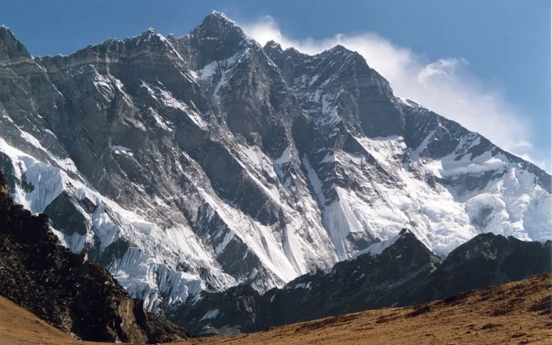


Lhotse
Lhotse, at 8,516 meters (27,940 ft), is the fourth-highest mountain on Earth, connected directly to Mount Everest via the South Col. Renowned for its sheer 3,200-meter South Face, one of the most imposing rock and ice walls in alpinism, the standard route tackles the grueling Lhotse Couloir from the Western Cwm.
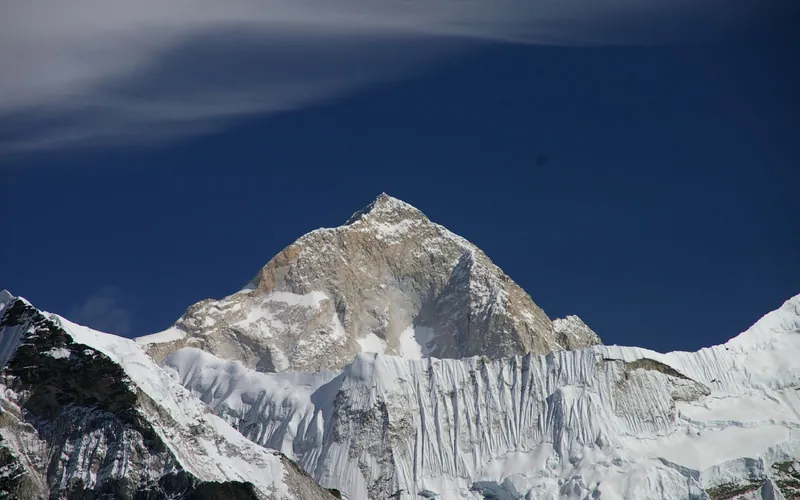
Makalu
Makalu, at 8,485 meters (27,838 ft), is the fifth-highest mountain on Earth, located 19 km southeast of Mount Everest. An isolated four-sided granite pyramid, it is known for technical knife-edge ridges, severe exposure, and punishing weather, making it one of the most challenging eight-thousanders.
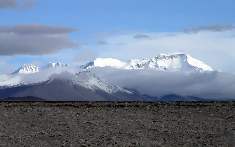
Cho Oyu
Cho Oyu, at 8,188 meters (26,864 ft), is the sixth-highest mountain in the world, situated 20 km west of Mount Everest. Meaning 'Turquoise Goddess' in Tibetan, it stands on the glaciated Nangpa La trade route between Nepal and Tibet. Its moderate northwest slopes make it the most accessible 8,000-meter peak.
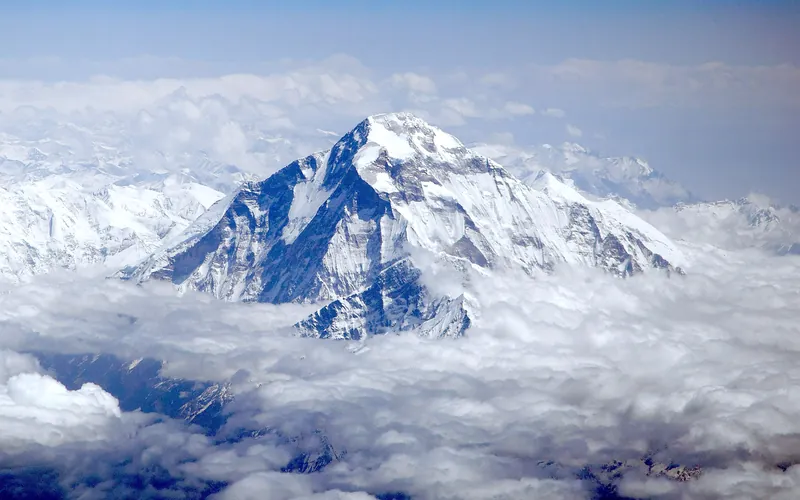
Dhaulagiri I
Dhaulagiri I, at 8,167 meters (26,795 ft), is the seventh-highest mountain on Earth and the highest peak situated entirely within Nepal. Rising steeply above the Kali Gandaki Gorge—the deepest gorge on Earth—opposite Annapurna, Dhaulagiri forms a staggering 7,000-meter vertical rise from the river valley.
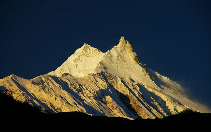
Manaslu
Manaslu, at 8,163 meters (26,781 ft), is the eighth-highest mountain in the world, situated in the Mansiri Himal of west-central Nepal. Known as the 'Mountain of the Spirit', its long ridges and valley glaciers offer dramatic topography culminating in a delicate, exposed knife-edge summit crest.
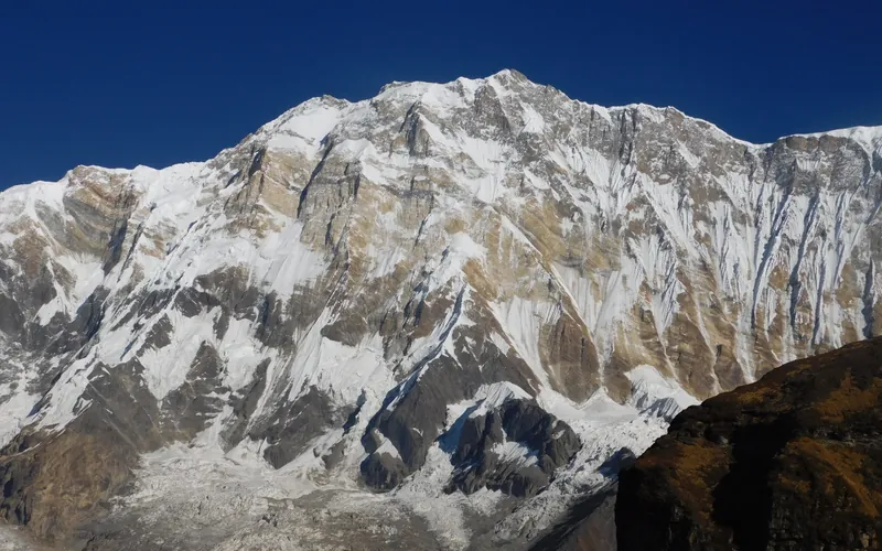
Annapurna I
Annapurna I, at 8,091 meters (26,545 ft), is the tenth-highest mountain in the world and historically the first 8,000-meter peak ever summited (June 3, 1950 by Maurice Herzog and Louis Lachenal). Rising above the Annapurna Sanctuary, its north and south walls present extreme avalanche and serac fall hazards.
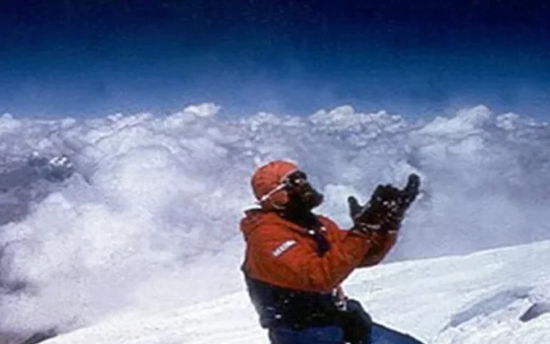

Gasherbrum I
Gasherbrum I, at 8,068 meters (26,470 ft), is the eleventh-highest mountain in the world. Named 'Hidden Peak' by explorer William Martin Conway due to its concealment behind surrounding Karakoram giants, it stands on the border between Pakistan and China. The peak was first climbed in 1958 by an American team led by Nick Clinch, and in 1992 Nazir Sabir summited it with Rajab Shah and Mehrban Shah, marking his fourth Pakistani eight-thousander.
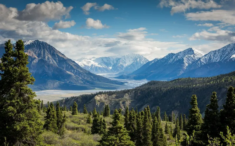
Broad Peak
Broad Peak, at 8,051 meters (26,414 ft), is the twelfth-highest mountain in the world. Located in the Karakoram directly across the Godwin-Austen Glacier from K2, it is famous for its 1.5-kilometre-long summit crest. First climbed in lightweight alpine style without supplemental oxygen or high-altitude porters in 1957 by an Austrian team.
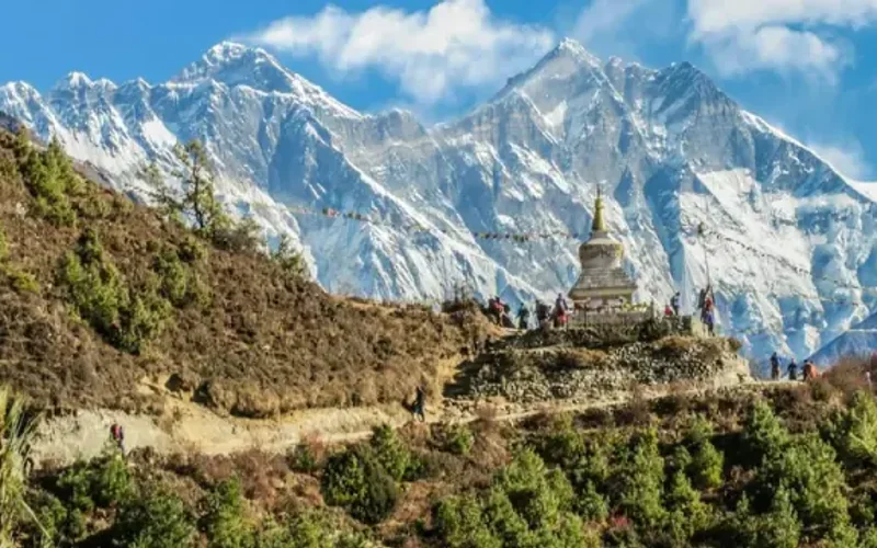
Gasherbrum II
Gasherbrum II, standing at 8,035 meters (26,362 ft), is the thirteenth-highest mountain on Earth and the third-highest peak of the Gasherbrum massif in the Karakoram. Located at the head of the Baltoro Glacier on the Pakistan-China frontier, it features a classic pyramidal profile with challenging ice couloirs. First summited in 1956 by an Austrian team, it was famously climbed in pure alpine style in 1982 by Reinhold Messner, Nazir Sabir, and Sher Khan.
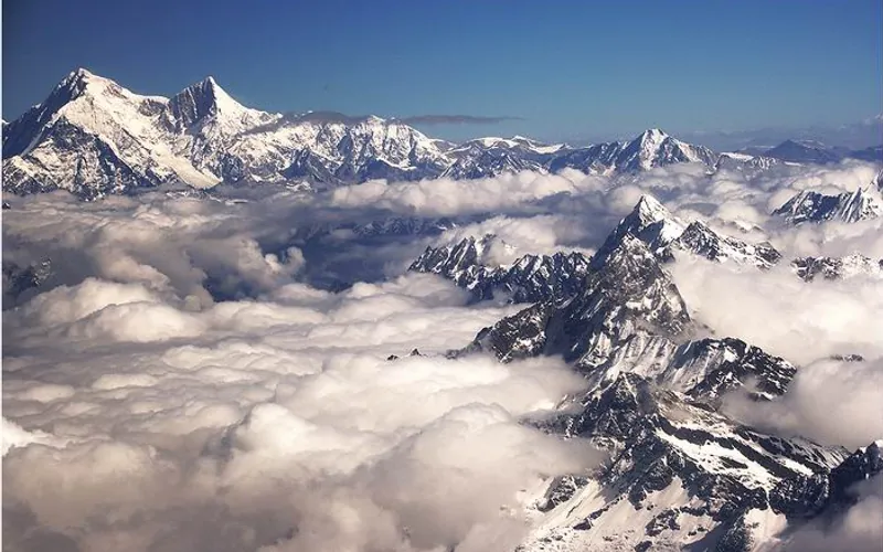
Shishapangma
Shishapangma, at 8,027 meters (26,335 ft), is the fourteenth-highest mountain on Earth and the only 8,000-meter peak situated entirely within Tibetan/Chinese territory. Due to geopolitical restrictions, it was the final eight-thousander to be climbed, summited by a Chinese expedition on May 2, 1964.
Pioneered & Associated Routes (11)
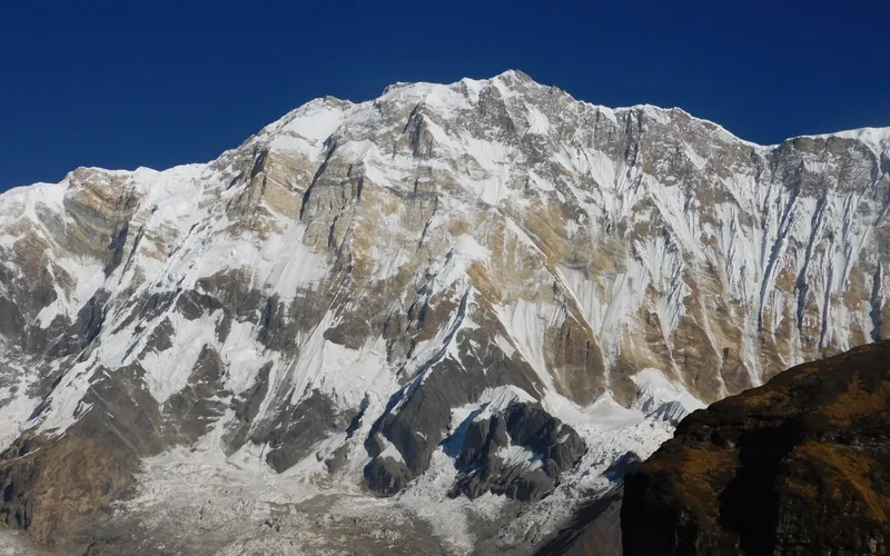
Annapurna I North Face (Herzog-Lachenal Route)
The North Face of Annapurna I is the historic first route ever climbed on an 8,000-meter peak, pioneered by French climbers Maurice Herzog and Louis Lachenal on June 3, 1950. Approached via the remote Miristi Khola valley, the route ascends the shattered North Annapurna Glacier, negotiates the terrifying avalanche-swept Sickle Glacier serac wall, and ascends steep snow gullies along the French Rib to gain the 8,091m summit.
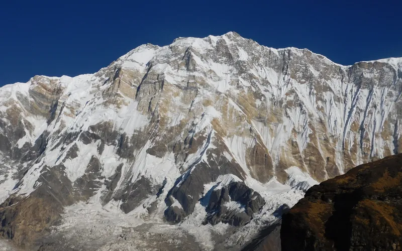
Annapurna I South Face (Bonington-Haston-Whillans Route)
The South Face of Annapurna I is one of the most formidable big-wall arenas in world mountaineering, rising 3,000 vertical metres of sheer rock, ice flutings, and overhanging bands directly from the Annapurna Sanctuary. First ascended via siege tactics by Dougal Haston and Don Whillans in 1970, it was later climbed in a revolutionary, lightweight solo push by Swiss alpinist Ueli Steck in October 2013 in just 28 hours round-trip.
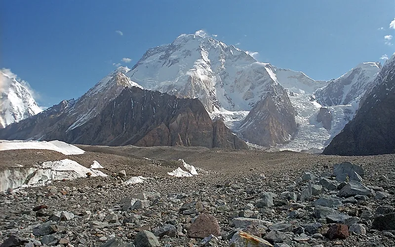
Normal Route (West Ridge & Northwest Face)
The Normal Route on Broad Peak ascends the rugged western spur from the Godwin-Austen Glacier, navigating steep mixed rock ribs before entering the upper glacial basin beneath the high saddle (the Col). From the Col at 7,800 meters, climbers enter the Death Zone to tackle the long, corniced summit ridge leading across the Foresummit to the true summit at 8,051 meters. First conquered in 1957 by an Austrian team in lightweight alpine style without bottled oxygen, and climbed in 1982 by Reinhold Messner, Nazir Sabir, and Sher Khan in a groundbreaking rapid alpine push.
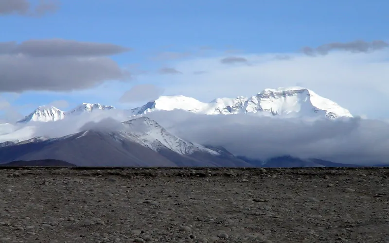
Cho Oyu Northwest Face & Ridge (Normal Route)
The Northwest Ridge is the standard and most climbed route on Cho Oyu, approached from the Tibetan plateau via the Gyabrag Glacier. First climbed in 1954 by an Austrian expedition, the route features relatively moderate snow slopes of 30 to 40 degrees, punctuated by a single prominent technical crux known as the Ice Cliff at 6,700m. Above Camp 3, climbers cross the Yellow Band and emerge onto a vast, gently rising summit plateau.
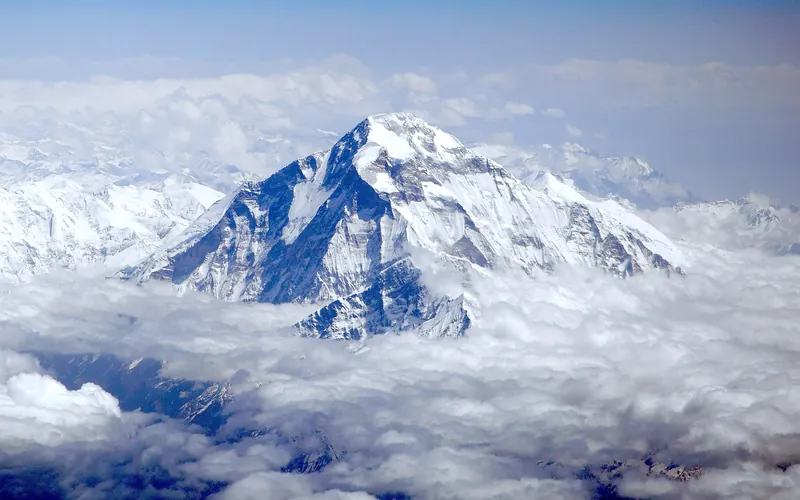
Dhaulagiri I Northeast Ridge (Normal Route)
The Northeast Ridge is the standard climbing route on Dhaulagiri I, first ascended in 1960 by a Swiss-Austrian team. The route begins on the glaciated Mayangdi Khola valley, climbs to the Northeast Col (5,700m), and works its way up the mountain's north-northeast face. The upper section traverses steep, wind-scoured blue ice shelves below the summit rocks and negotiates a final, exposed couloir leading directly to the 8,167m summit.
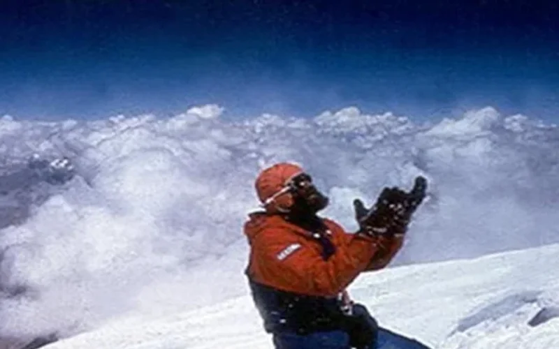
Northwest Face & Japanese Couloir (Normal Route)
The Northwest Face via the Japanese Couloir is the standard and most frequently climbed line on Gasherbrum I (8,068m / Hidden Peak). Starting from the South Gasherbrum Glacier, climbers traverse the shared lower icefall into the Gasherbrum Cwm, then branch southward toward the forbidding northwest wall. The technical centerpiece is the Japanese Couloir—a sustained 50 to 60-degree gully of hard blue ice and shattered rock leading to the high col and summit slopes. First ascended in 1958 by Americans Pete Schoening and Andy Kauffman via the South Ridge, the Japanese Couloir line became the modern benchmark, climbed rapidly in 1992 by Nazir Sabir, Rajab Shah, and Mehrban Shah.
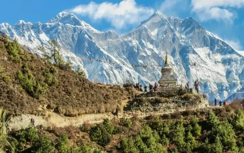
Southwest Ridge (Normal Route)
The Southwest Ridge is the standard and historically celebrated route on Gasherbrum II (8,035m). Starting from the South Gasherbrum Glacier, climbers navigate the heavily crevassed lower icefall into the Gasherbrum Cwm before tackling the technical crux of the route: the steep mixed snow and ice crest known as the Banana Ridge. Above Camp III, the route traverses expansive snow basins into the Death Zone, making a final push up a delicate diagonal couloir to the summit. First climbed in 1956 by an Austrian team, and completed in rapid alpine style in 1982 by Reinhold Messner, Nazir Sabir, and Sher Khan.
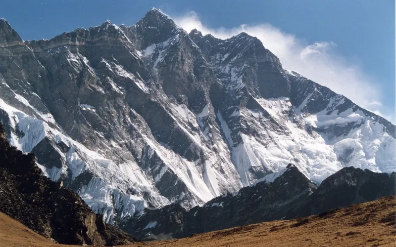
Lhotse Normal Route (West Face & Couloir)
The Normal Route on Lhotse shares the Everest South Col route through the treacherous Khumbu Icefall and across the Western Cwm up to Camp 3 on the Lhotse Face (7,200m). Beyond the Yellow Band, the route splits right from the South Col route and ascends directly into the notorious Lhotse Couloir—a narrow, 500-meter vertical gully of 45-to-50-degree hard blue ice funneling into the 8,516m summit.
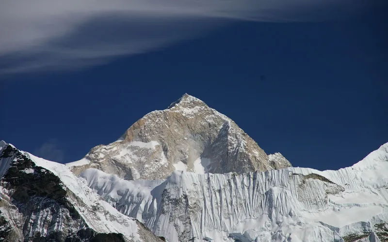
Makalu Northwest Ridge (French Route)
The Northwest Ridge is the classic pioneering line on Makalu, first opened by the historic French expedition of 1955. From Advanced Base Camp on the Chago Glacier, climbers ascend steep snow and ice fields to gain Makalu La (7,400m), a high, wind-blasted col connecting Makalu to Kangchungtse. Above Makalu La, the route climbs through the technical French Couloir—a mixed corridor of steep ice and broken granite—before emerging onto the exposed summit crest.
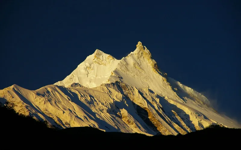
Manaslu Northeast Face (Normal Route)
The Northeast Face is the standard route on Manaslu, first forged in 1956 by a Japanese expedition. Ascending from the Manaslu Glacier above the village of Samagaon, the route climbs through an active, heavily crevassed icefall between Camps 1 and 2, traverses wide snow plateaus up to Camp 4, and culminates in a delicate, exposed knife-edge snow arête leading to the true summit pin.
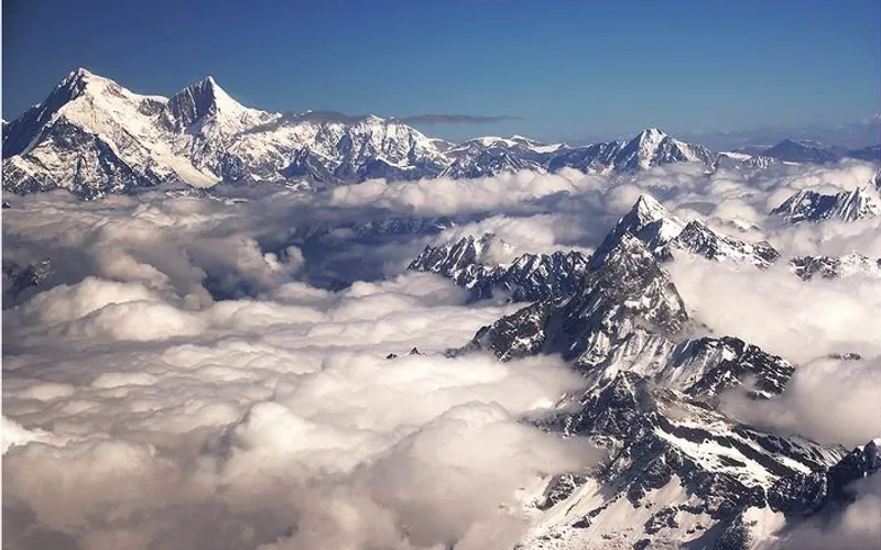
Shishapangma Northwest Ridge (Normal Route)
The Northwest Ridge is the standard route on Shishapangma, situated entirely in Tibet and first ascended by a Chinese expedition in 1964. Approached from the dry, high-altitude plateau of southern Tibet, the route climbs gently sloping glaciers to an upper plateau, gains the Central Peak (8,008m), and traverses a knife-edge snow arête with massive drop-offs to reach the true Main Summit at 8,027m.
Documented Expeditions (1)
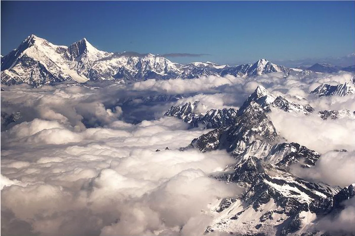
2004 Jean-Christophe Lafaille Shishapangma Solo Winter Expedition
On December 11, 2004, French solo maestro Jean-Christophe Lafaille achieved one of the most audacious feats in high-altitude history by making the first solo winter ascent of Shishapangma (8,027m) via the formidable South Face in brutal temperatures below -45°C without supplemental oxygen.
Associated Chronicles & Stories (2)
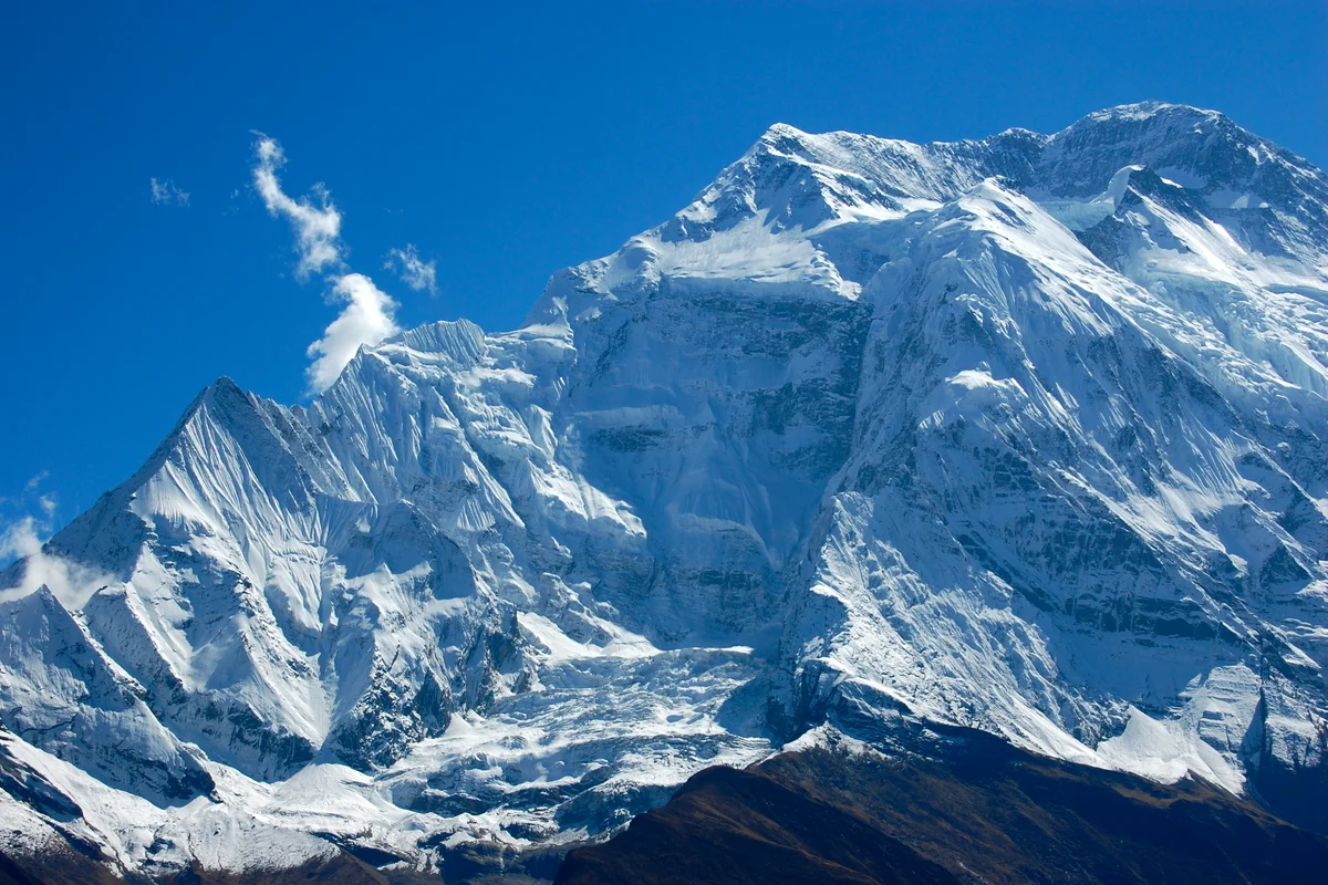
The Brother's Ridge: Alberto Iñurrategi Conquers Annapurna for Félix
On May 16, 2002, Basque purist Alberto Iñurrategi and Jean-Christophe Lafaille traversed Annapurna's lethal East Ridge without oxygen, completing all 14 peaks in memory of Alberto's late brother Félix.
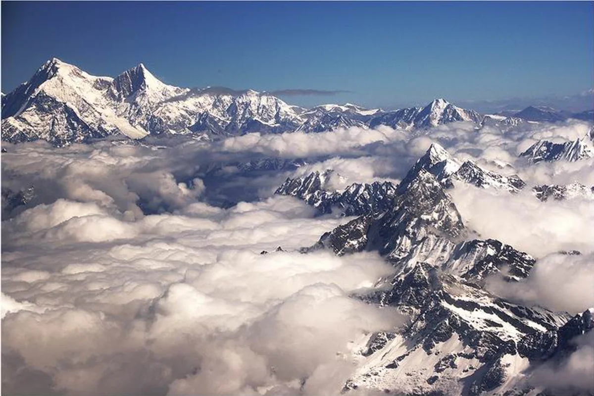
The Solitary Ghost of Shishapangma: Jean-Christophe Lafaille's Winter Masterpiece
On December 11, 2004, French solo master Jean-Christophe Lafaille achieved the first solo winter ascent of Shishapangma (8,027m) via the direct South Face without oxygen.
Documented Sources & Archival Citations
- American Alpine Journal: In Memoriam — Jean-Christophe Lafaille (1965-2006)(American Alpine Club)
Supporting claim: Official obituary and comprehensive historical appraisal of Lafaille's solo Himalayan ascents
Accessed/Documented: 2006 - Prisonnier de l'Annapurna(Jean-Christophe Lafaille / Éditions Guérin)
Supporting claim: Autobiographical account of the 1992 Annapurna South Face self-rescue and philosophy of solo climbing
Accessed/Documented: 2003