Annapurna I South Face (Bonington-Haston-Whillans Route)
The South Face of Annapurna I is one of the most formidable big-wall arenas in world mountaineering, rising 3,000 vertical metres of sheer rock, ice flutings, and overhanging bands directly from the Annapurna Sanctuary. First ascended via siege tactics by Dougal Haston and Don Whillans in 1970, it was later climbed in a revolutionary, lightweight solo push by Swiss alpinist Ueli Steck in October 2013 in just 28 hours round-trip.
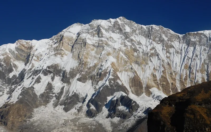
Ascent line, technical cruxes & camp topography profile for Annapurna I South Face (Bonington-Haston-Whillans Route)
Mountain Safety & Conditions Disclaimer: High-altitude climbing, glacial travel, and technical ascents entail severe objective risks including avalanches, serac collapses, rapid weather collapse, and altitude illness. Historical route descriptions and summit claims on Mountanity reflect documented archival sources and must not be used as live operational safety assessments. Local regulations, permits, and physical glacial topography change continuously.
Peer Review: Senior Editorial Board & Historical Reviewers • Editorial Standards
Tactical & Camp Notes
Rising almost 10,000 feet straight up, the South Face is notorious for falling ice, relentless spindrift avalanches, and intense technical climbing entirely above 7,000 metres in the Death Zone.
Identified Objective Hazards
- •Constant spindrift avalanches cascading through narrow summit couloirs
- •Extreme stonefall provoked by afternoon sun warming upper limestone cliffs
- •Continuous technical difficulty above 7,000 metres leaving no room for descent errors
- •Severe exposure to biting Himalayan jet-stream winds
Interactive Elevation Profile
Vertical profile, technical cruxes, and camp staging progression for Annapurna I South Face (Bonington-Haston-Whillans Route) on Annapurna I.
Established on the floor of the glacial amphitheatre surrounded by towering 7,000- and 8,000-metre peaks.
Camp-by-Camp Topography
Key staging altitudes, technical cruxes, and terrain transitions for Annapurna I South Face (Bonington-Haston-Whillans Route).
Annapurna Sanctuary Base Camp
Established on the floor of the glacial amphitheatre surrounded by towering 7,000- and 8,000-metre peaks.
Camp I / Advanced Base
Situated on the lower lateral moraine directly beneath the central apron of the South Face.
The Lower Ice Apron & Camp II
Steep 50-degree ice slopes funnelling falling stones and loose snow into narrow couloirs.
Camp III
Perched on a narrow ice terrace beneath the prominent rock buttress.
The Rock Buttress & Camp IV
Sustained Grade V and VI mixed climbing on loose yellow and grey limestone bands.
The Upper Headwall & Camp V
Near-vertical mixed rock and brittle water ice gullies cutting through the overhanging summit wall.
Annapurna I Summit
The crest of Annapurna I, offering sweeping views across the Annapurna Sanctuary and Dhaulagiri.
Topographic Location & Terrain Map
Cartographic datum, massif coordinates, and terrain context for Annapurna I South Face (Bonington-Haston-Whillans Route) on Annapurna I.
Interactive Topographic Terrain Map
Click below to load live cartographic contours, glacier approaches, and geographic markers for Annapurna I (28°35′46″ N, 83°49′13″ E).
Key Statistics & Topographic Figures
- Route Type
- Direct Face / Big Wall
Topography
- Technical Difficulty
- Extremely Extreme / Grade VI, ED+
Alpine VI, WI5, M6, 85° ice flutings and vertical limestone bands
- Country / Region
- Nepal (Annapurna Sanctuary / Gandaki)
Location
Archival Primary Source Quotations
“A mountain route is not merely a path of rock and ice; it is a test of human endurance, judgment, and humility.”
Defined Alpine Terminology & Concepts
- Crux
- The most difficult and technically demanding pitch or section of a climbing route.
- Normal Route (Voie Normale)
- The most frequently climbed, least technical, and historically standard path to a mountain summit.
Frequently Asked Questions: Annapurna I South Face (Bonington-Haston-Whillans Route)
What is the climbing difficulty and grade of Annapurna I South Face (Bonington-Haston-Whillans Route)?
Annapurna I South Face (Bonington-Haston-Whillans Route) on annapurna-1 is graded as Extremely Extreme / Grade VI, ED+, with technical climbing requirements including Alpine VI, WI5, M6, 85° ice flutings and vertical limestone bands.
What are the primary hazards on the Annapurna I South Face (Bonington-Haston-Whillans Route)?
Climbers on Annapurna I South Face (Bonington-Haston-Whillans Route) must navigate severe objective hazards including Constant spindrift avalanches cascading through narrow summit couloirs, Extreme stonefall provoked by afternoon sun warming upper limestone cliffs, Continuous technical difficulty above 7,000 metres leaving no room for descent errors, Severe exposure to biting Himalayan jet-stream winds.
What camps are established on Annapurna I South Face (Bonington-Haston-Whillans Route)?
Annapurna I South Face (Bonington-Haston-Whillans Route) typically features 7 staging camps, progressing from Annapurna Sanctuary Base Camp (4130m) up toward the summit.
Mountain Ascended
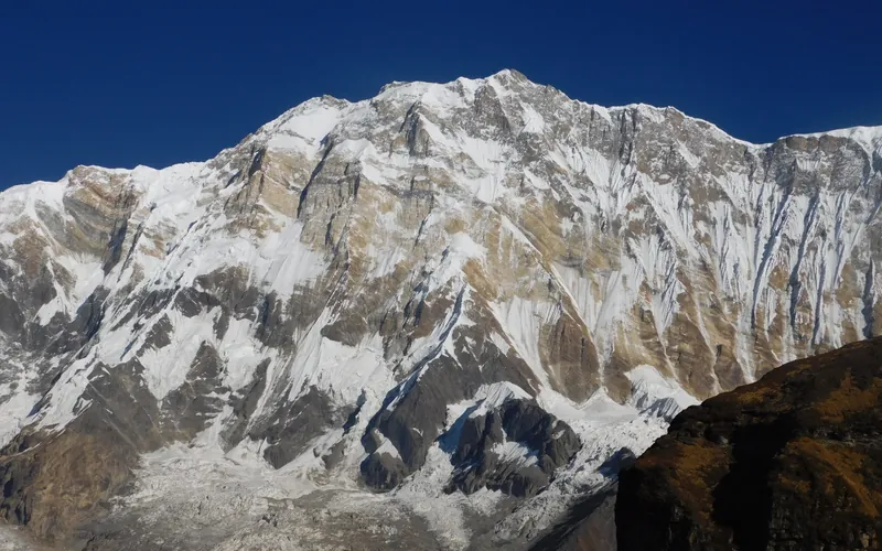

Annapurna I
Annapurna I, at 8,091 meters (26,545 ft), is the tenth-highest mountain in the world and historically the first 8,000-meter peak ever summited (June 3, 1950 by Maurice Herzog and Louis Lachenal). Rising above the Annapurna Sanctuary, its north and south walls present extreme avalanche and serac fall hazards.
Documented Expeditions on this Route (1)
Verified historical summits, siege campaigns, and pioneer attempts recorded on Annapurna I South Face (Bonington-Haston-Whillans Route).
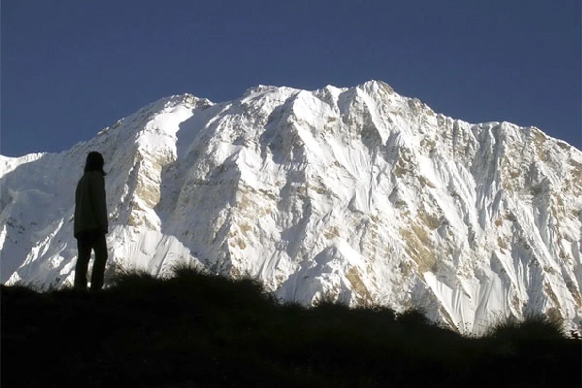
2008 Annapurna I South Face Expedition and Iñaki Ochoa Rescue
In May 2008, an extraordinary multi-national rescue operation was launched on Annapurna's South Face to save stricken Navarrese climber Iñaki Ochoa de Olza, bringing together elite alpinists Ueli Steck, Denis Urubko, Horia Colibășanu, and Don Bowie in a legendary display of alpine brotherhood.
Archival Chronicles & Stories on this Route (1)
In-depth longform historical narratives, harrowing survival accounts, and firsthand alpine journals on Annapurna I South Face (Bonington-Haston-Whillans Route).
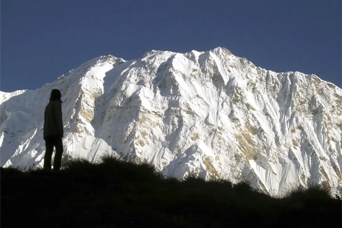
The Sacred Brotherhood: The Historic Annapurna Rescue for Iñaki Ochoa
In May 2008 on Annapurna's lethal South Face, elite international alpinists united in one of the most heroic rescue efforts in mountaineering history to save Iñaki Ochoa de Olza.