Normal Route (West Ridge & Northwest Face)
The Normal Route on Broad Peak ascends the rugged western spur from the Godwin-Austen Glacier, navigating steep mixed rock ribs before entering the upper glacial basin beneath the high saddle (the Col). From the Col at 7,800 meters, climbers enter the Death Zone to tackle the long, corniced summit ridge leading across the Foresummit to the true summit at 8,051 meters.
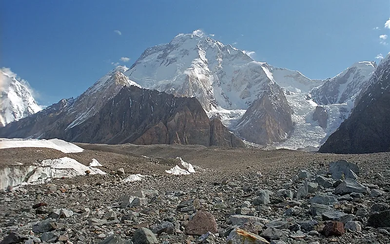
Ascent line, technical cruxes & camp topography profile for Normal Route (West Ridge & Northwest Face)
Mountain Safety & Conditions Disclaimer: High-altitude climbing, glacial travel, and technical ascents entail severe objective risks including avalanches, serac collapses, rapid weather collapse, and altitude illness. Historical route descriptions and summit claims on Mountanity reflect documented archival sources and must not be used as live operational safety assessments. Local regulations, permits, and physical glacial topography change continuously.
Peer Review: Senior Editorial Board & Historical Reviewers • Editorial Standards
Tactical & Camp Notes
While technically less sustained than K2's Abruzzi Spur, Broad Peak's primary hazard is the exhausting, highly exposed 1.5-kilometer summit crest where many expeditions turn back mistakenly at the Foresummit (8,035m).
Identified Objective Hazards
- •Severe exhaustion and hypothermia during the grueling, high-exposure traverse from Foresummit to True Summit
- •Frequent stonefall and ice debris channeling down the lower western couloirs before Camp I
- •Unstable, massive snow cornices overhanging the eastern Tibetan face along the summit crest
- •Sudden Karakoram weather depressions bringing hurricane-force jet stream winds and -40°C temperatures
Historical Context
Pioneered in pure alpine style in June 1957 by Hermann Buhl, Kurt Diemberger, Marcus Schmuck, and Fritz Wintersteller. Re-climbed in 1982 in alpine style by Reinhold Messner, Nazir Sabir, and Col. Sher Khan just 9 days after Gasherbrum II.
Interactive Elevation Profile
Vertical profile, technical cruxes, and camp staging progression for Normal Route (West Ridge & Northwest Face) on Broad Peak.
Established on the lateral moraine of the Godwin-Austen Glacier directly opposite K2 Base Camp.
Camp-by-Camp Topography
Key staging altitudes, technical cruxes, and terrain transitions for Normal Route (West Ridge & Northwest Face).
Base Camp
Established on the lateral moraine of the Godwin-Austen Glacier directly opposite K2 Base Camp.
Camp I
Pitched on a narrow, wind-scoured snow and rock spur after ascending 45-degree scree and snow couloirs.
Camp II
Perched on small carved platforms on a steep rock rib, requiring fixed lines for security against heavy Karakoram winds.
Camp III
Located on a broad, protected glacial terrace in the upper western basin beneath the colossal summit wall.
The Col (Saddle)
The wind-blasted pass separating Broad Peak Central from the Main Summit, marking the gateway to the final summit assault.
Foresummit to True Summit Ridge
A notoriously exposed, corniced knife-edge traverse extending from the 8,035m Foresummit along unstable snow mushrooms to the true 8,051m summit.
Topographic Location & Terrain Map
Cartographic datum, massif coordinates, and terrain context for Normal Route (West Ridge & Northwest Face) on Broad Peak.
Interactive Topographic Terrain Map
Click below to load live cartographic contours, glacier approaches, and geographic markers for Broad Peak (35°48′43″ N, 76°33′54″ E).
Key Statistics & Topographic Figures
- Route Type
- Standard / Normal Route
Topography
- Technical Difficulty
- Extremely Demanding / Grade V, D+
Alpine IV, 50° snow and ice, exposed mixed rock ribs
- Country / Region
- Pakistan (Gilgit-Baltistan / Karakoram)
Location
Archival Primary Source Quotations
“A mountain route is not merely a path of rock and ice; it is a test of human endurance, judgment, and humility.”
Defined Alpine Terminology & Concepts
- Crux
- The most difficult and technically demanding pitch or section of a climbing route.
- Normal Route (Voie Normale)
- The most frequently climbed, least technical, and historically standard path to a mountain summit.
Frequently Asked Questions: Normal Route (West Ridge & Northwest Face)
What is the climbing difficulty and grade of Normal Route (West Ridge & Northwest Face)?
Normal Route (West Ridge & Northwest Face) on broad-peak is graded as Extremely Demanding / Grade V, D+, with technical climbing requirements including Alpine IV, 50° snow and ice, exposed mixed rock ribs.
What are the primary hazards on the Normal Route (West Ridge & Northwest Face)?
Climbers on Normal Route (West Ridge & Northwest Face) must navigate severe objective hazards including Severe exhaustion and hypothermia during the grueling, high-exposure traverse from Foresummit to True Summit, Frequent stonefall and ice debris channeling down the lower western couloirs before Camp I, Unstable, massive snow cornices overhanging the eastern Tibetan face along the summit crest, Sudden Karakoram weather depressions bringing hurricane-force jet stream winds and -40°C temperatures.
What camps are established on Normal Route (West Ridge & Northwest Face)?
Normal Route (West Ridge & Northwest Face) typically features 6 staging camps, progressing from Base Camp (4900m) up toward the summit.
Mountain Ascended
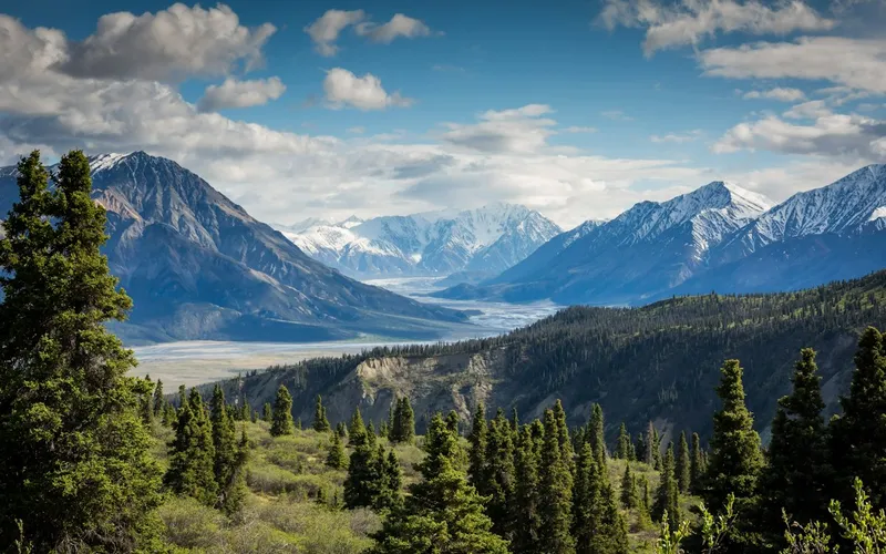


Broad Peak
Broad Peak, at 8,051 meters (26,414 ft), is the twelfth-highest mountain in the world. Located in the Karakoram directly across the Godwin-Austen Glacier from K2, it is famous for its 1.5-kilometre-long summit crest. First climbed in lightweight alpine style without supplemental oxygen or high-altitude porters in 1957 by an Austrian team.
Documented Expeditions on this Route (10)
Verified historical summits, siege campaigns, and pioneer attempts recorded on Normal Route (West Ridge & Northwest Face).
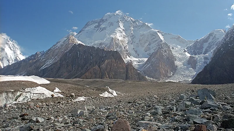
1957 Austrian Karakoram Expedition to Broad Peak
The landmark Austrian expedition that achieved the first ascent of Broad Peak (8,051m) without supplemental oxygen and without high-altitude porters, pioneering modern lightweight alpine style in the 8,000-meter arena.
1982 Messner-Sabir Karakoram Alpine Traverse
Revolutionary lightweight expedition with Reinhold Messner, Nazir Sabir, and Sher Khan, summiting Gasherbrum II and Broad Peak within 9 days without oxygen.
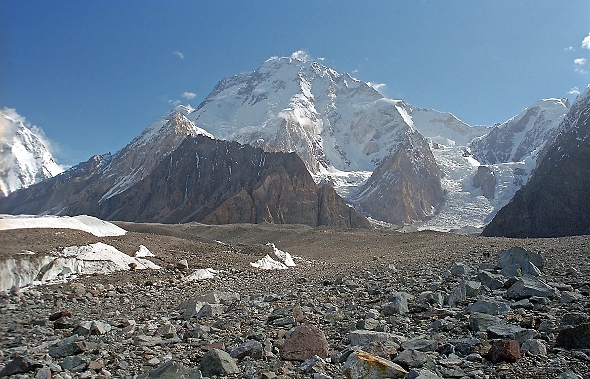
1983 Polish Women's Broad Peak First Female Ascent Expedition
On June 30, 1983, Polish mountaineers Krystyna Palmowska and Anna Czerwińska achieved the historic first female ascent of Broad Peak (8,051m) in the Karakoram, climbing in self-reliant, two-woman alpine style without supplemental oxygen or high-altitude porters.
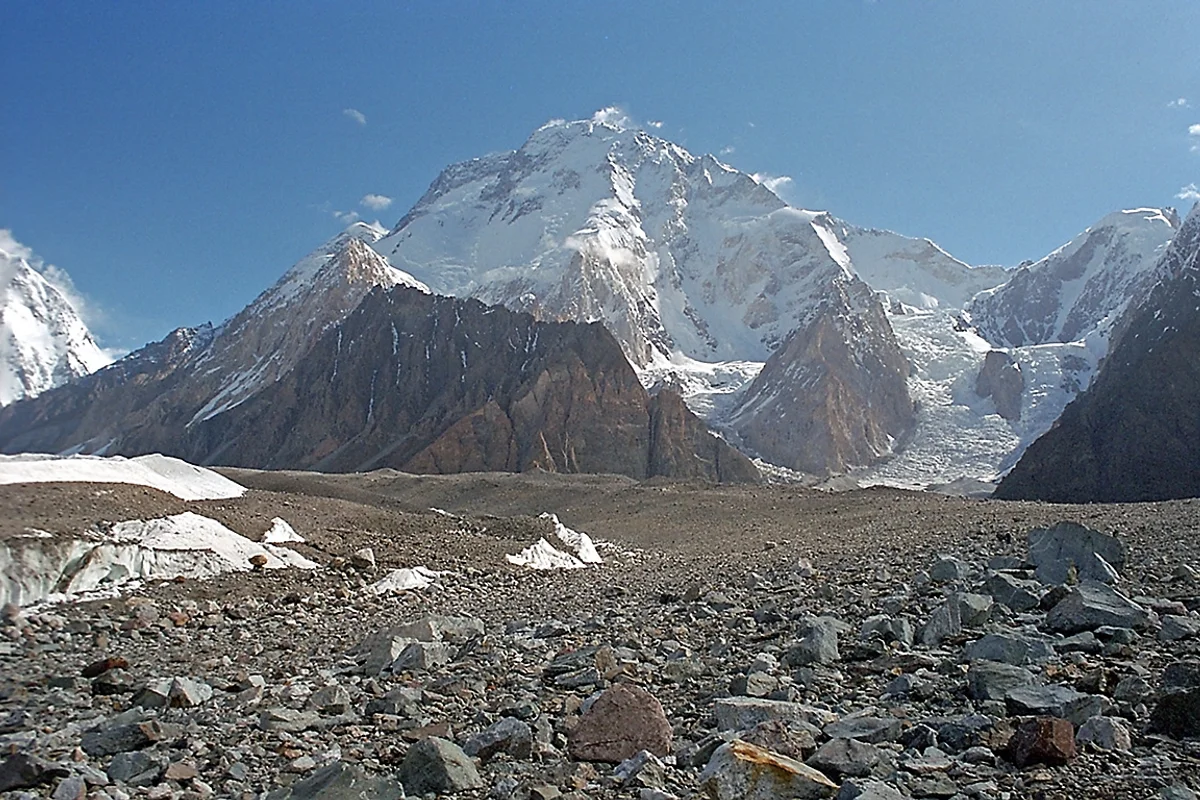
1994 Carlos Carsolio Broad Peak Speed Solo Expedition
On July 9, 1994, Mexican mountaineer Carlos Carsolio accomplished one of the greatest speed ascents in Himalayan history, climbing Broad Peak (8,051m) completely solo from Base Camp to the true summit in an astonishing ten hours without supplemental bottled oxygen.
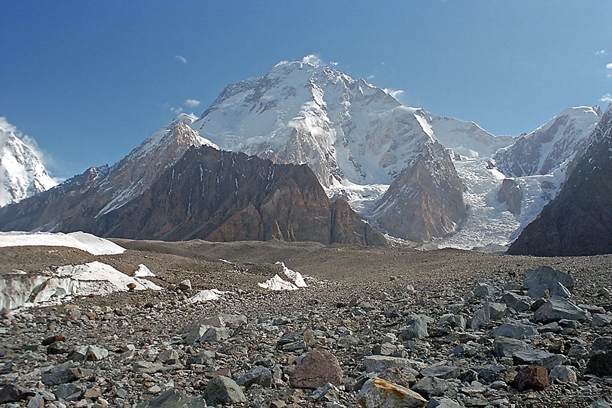
2007 Silvio Mondinelli Broad Peak & 14 Eight-Thousanders Completion
On July 12, 2007, Italian alpinist Silvio 'Gnaro' Mondinelli reached the summit of Broad Peak (8,051m) in the Karakoram range, completing the ascent of all fourteen 8,000-meter peaks without supplemental bottled oxygen.
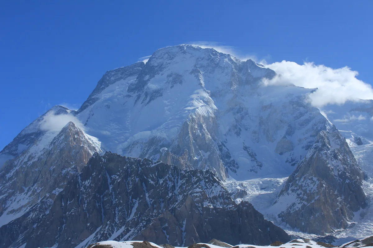
2013 Polish Broad Peak Winter First Ascent Expedition
On March 5, 2013, Polish climbers Maciej Berbeka, Adam Bielecki, Artur Małek, and Tomasz Kowalski achieved the historic first winter ascent of Broad Peak (8,051m) in the Karakoram; tragedy struck on descent when Berbeka and Kowalski perished in extreme cold.
2018 Rick Allen Broad Peak Solo Ascent and Drone Rescue
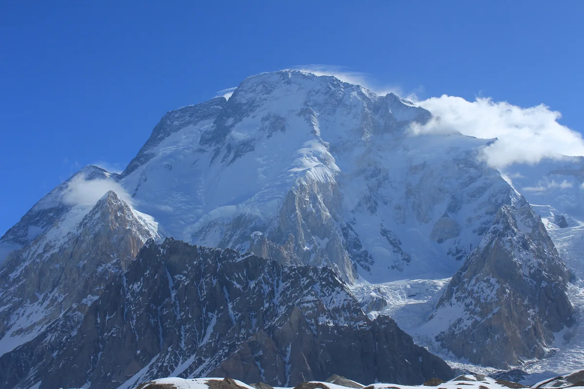
In July 2018, 65-year-old Scottish veteran mountaineer Rick Allen fell hundreds of metres down the West Face of Broad Peak (8,051m) and was presumed dead, but miraculously survived thirty-six hours alone in the death zone until located by a pioneering camera drone piloted from K2 Base Camp.
2018 Sergi Mingote Broad Peak and K2 Double Expedition
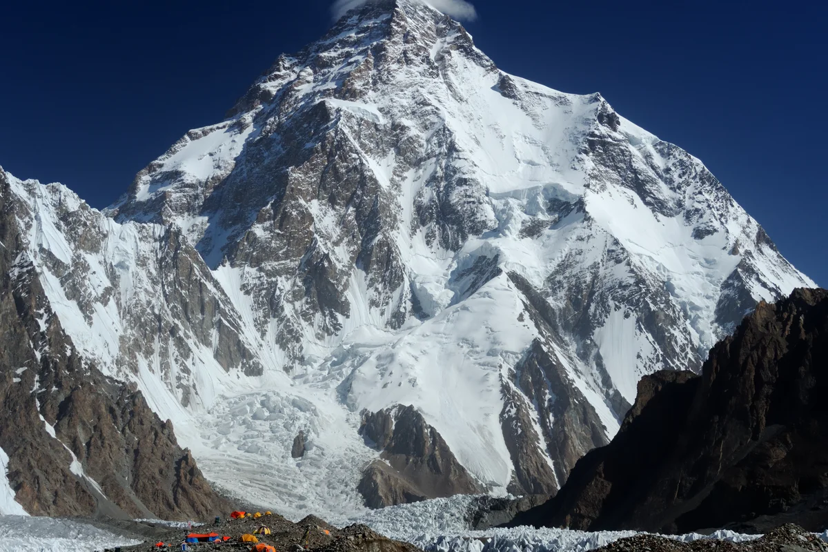
In July 2018, Catalan endurance mountaineer Sergi Mingote achieved the astonishing feat of summiting Broad Peak (8,051m) on July 16 and K2 (8,611m) on July 23—climbing both Karakoram giants within seven days without supplemental bottled oxygen.
Project Possible 14/7: The 189-Day 14-Peak Odyssey
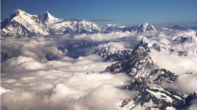
Led by former British Gurkha and Special Boat Service (SBS) operator Nirmal 'Nimsdai' Purja MBE, Project Possible 14/7 shattered the world speed record by summiting all fourteen 8,000-meter peaks in 6 months and 6 days (189 days), smashing the prior record of nearly eight years.
2019 Nirmal Purja Broad Peak Expedition
Nirmal Purja summited Broad Peak (8,051m) via the West Ridge on July 26, 2019, just 48 hours after K2, successfully concluding his five-peak Karakoram campaign in an astonishing 23 days.
Archival Chronicles & Stories on this Route (10)
In-depth longform historical narratives, harrowing survival accounts, and firsthand alpine journals on Normal Route (West Ridge & Northwest Face).

First Women of the Karakoram: Palmowska and Czerwińska on Broad Peak
On June 30, 1983, Polish climbers Krystyna Palmowska and Anna Czerwińska made history by achieving the first female ascent of Broad Peak in lightweight alpine style.
The Ten-Hour Thunderbolt: Carlos Carsolio's Solo Sprint on Broad Peak
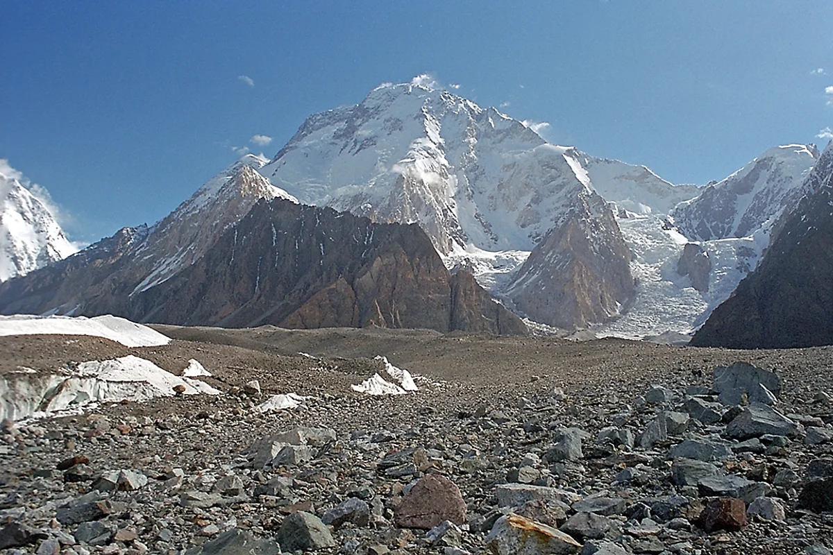
On July 9, 1994, Mexican mountaineer Carlos Carsolio stunned the climbing world by ascending Broad Peak (8,051m) solo from Base Camp to the true summit in just ten hours.
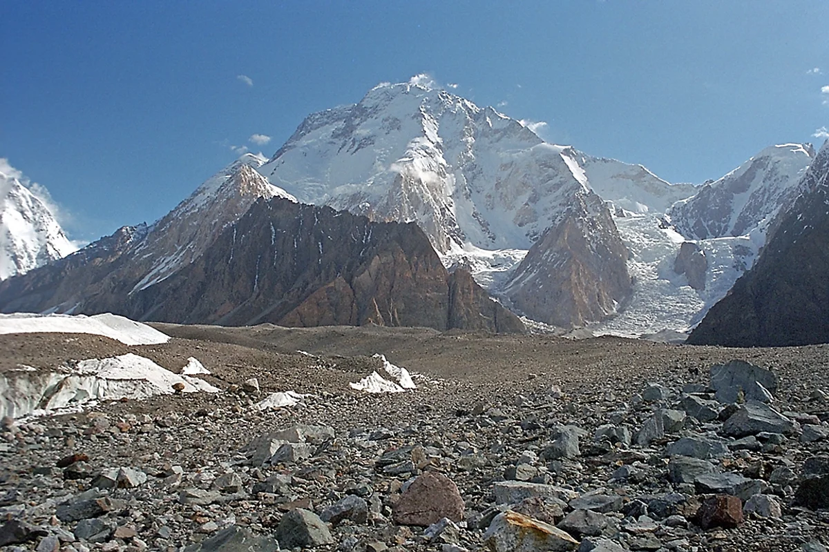
The Iron Path: Silvio Mondinelli and the 14 Eight-Thousanders
On July 12, 2007, Italian alpinist Silvio 'Gnaro' Mondinelli conquered Broad Peak, becoming the sixth person in history to climb all 14 eight-thousanders without bottled oxygen.
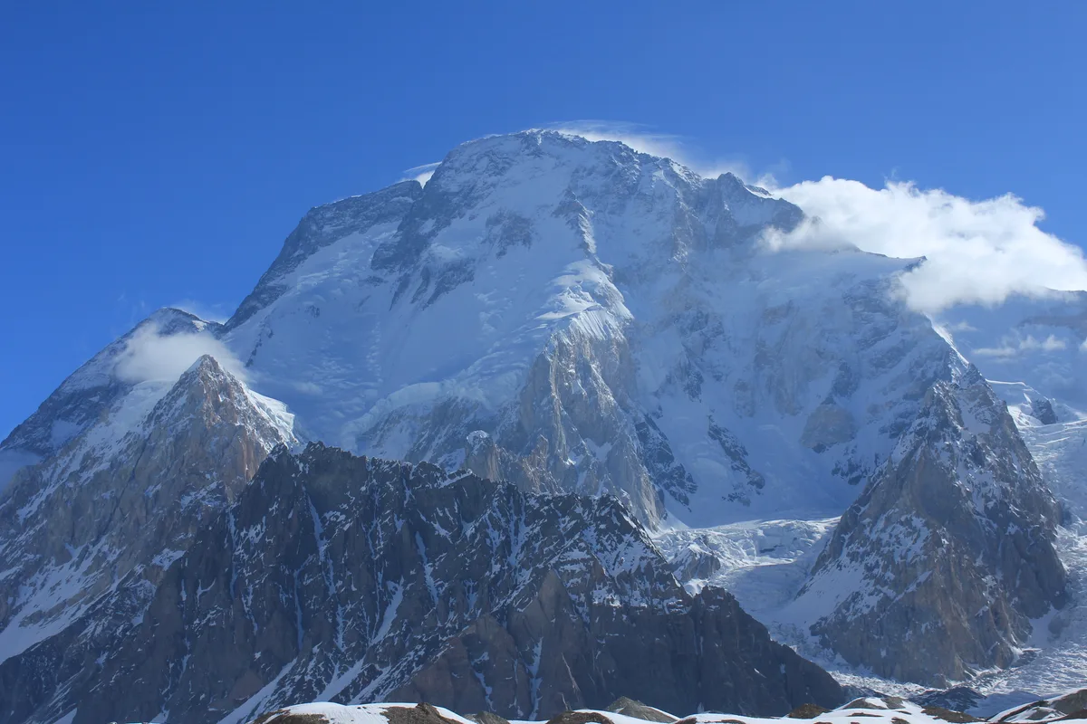
The Long Shadow: Maciej Berbeka and the Winter Conquest of Broad Peak
On March 5, 2013, Polish Ice Warriors conquered Broad Peak in winter, bringing closure to Maciej Berbeka's 25-year quest in a bittersweet triumph etched in sacrifice.
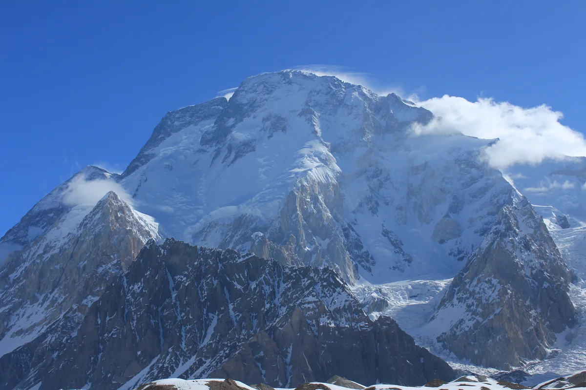
Found in the Sky: Rick Allen's Miracle Survival and Drone Rescue on Broad Peak
In July 2018, veteran Scottish climber Rick Allen fell hundreds of metres on Broad Peak and survived 36 hours in the death zone until located by a camera drone.
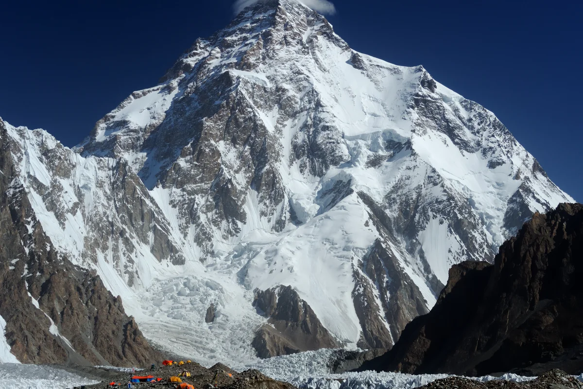
The Seven-Day Lightning: Sergi Mingote's Broad Peak and K2 Double
In July 2018, Catalan endurance athlete Sergi Mingote conquered Broad Peak and K2 back-to-back in just seven days without supplemental bottled oxygen.
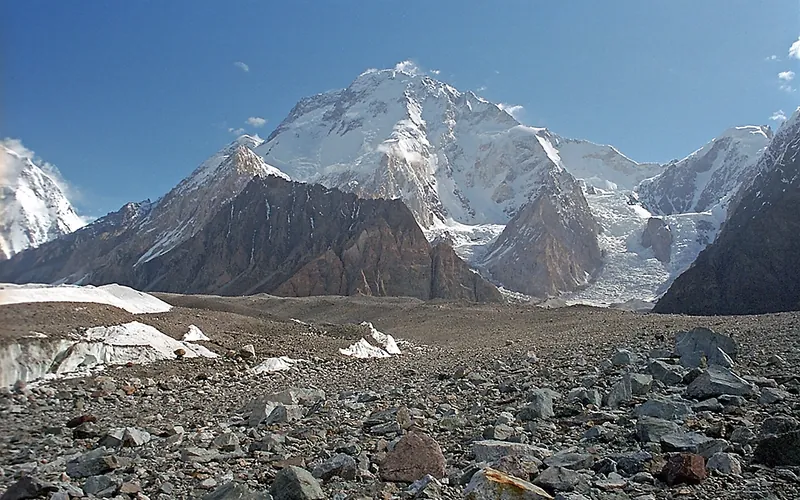
The 1957 Ascent of Broad Peak: The Alpine Style Revolution
How four Austrian climbers rejected military siege tactics in 1957 to prove that 8,000-meter giants could be conquered clean, fast, and without bottled oxygen.
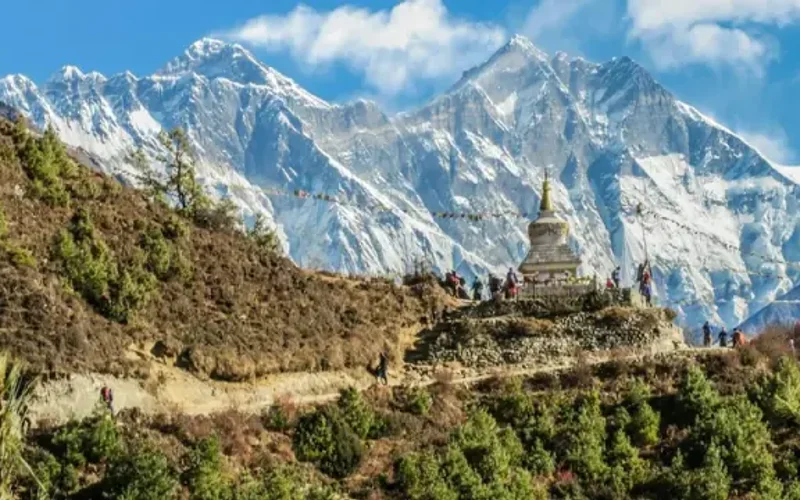
1982 Karakoram Double: The Messner-Sabir Alpine Blitz
How Reinhold Messner and Nazir Sabir climbed Gasherbrum II and Broad Peak in lightweight alpine style within one week in 1982.
Broad Peak: Capping the 23-Day Karakoram Blitzkrieg Run
How Nirmal Purja conquered Broad Peak two days after K2, completing all five Pakistani 8,000ers in a record 23 days.
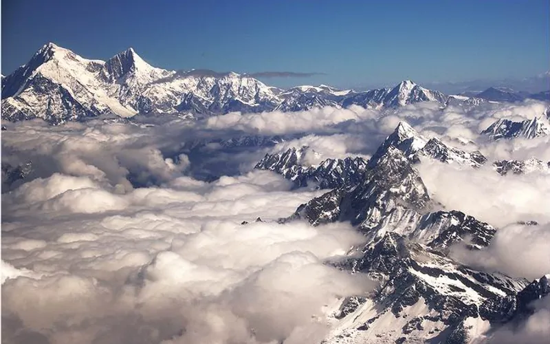
Project Possible 14/7: The 189-Day Himalayan Odyssey
How Nirmal 'Nimsdai' Purja and his Nepali team climbed all fourteen 8,000-meter peaks in 189 days, redefining the boundaries of human endurance.
Documented Sources & Archival Citations
- Summits and Secrets(Kurt Diemberger / Hodder & Stoughton)
Supporting claim: Account of the 1957 first ascent via the West Ridge without oxygen
Accessed/Documented: 1971 - American Alpine Journal: Karakoram Alpine Traverse(American Alpine Club)
Supporting claim: Documentation of the Messner, Sabir, and Khan 1982 alpine style ascent
Accessed/Documented: 1983