Mount Everest Complete West Ridge (Yugoslav Direct)
The Complete West Ridge of Mount Everest is one of the most formidable and sustained technical routes on the mountain. Pioneered in spring 1979 by an elite Yugoslav expedition led by Tone Škarja, the route tackles the integral knife-edge crest directly from the Lho La col (6,026m) all the way to the 8,848.
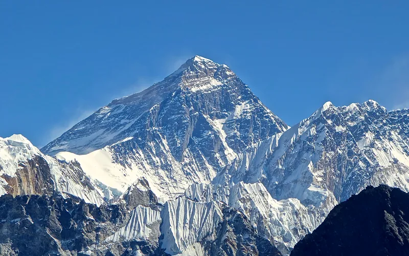
Ascent line, technical cruxes & camp topography profile for Mount Everest Complete West Ridge (Yugoslav Direct)
Mountain Safety & Conditions Disclaimer: High-altitude climbing, glacial travel, and technical ascents entail severe objective risks including avalanches, serac collapses, rapid weather collapse, and altitude illness. Historical route descriptions and summit claims on Mountanity reflect documented archival sources and must not be used as live operational safety assessments. Local regulations, permits, and physical glacial topography change continuously.
Peer Review: Senior Editorial Board & Historical Reviewers • Editorial Standards
Tactical & Camp Notes
Extremely exposed to westerly jet stream gales with no possibility of rapid descent once committed to the upper crest. Demands supreme physical conditioning and rock climbing mastery at extreme altitude.
Identified Objective Hazards
- •Devastating westerly jet stream gales along the razor crest that can blow climbers off the ridge
- •Technical mixed rock and ice climbing at altitudes exceeding 8,200 meters
- •Dangerous Lho La ice cliff approach hazards
- •Extreme exposure with several thousand meters of vertical drop on both the Tibetan and Nepalese flanks
Historical Context
First climbed on May 13, 1979, by Andrej Štremfelj and Nejc Zaplotnik, followed on May 15 by Stane Belak, Marjan Manfreda, and Ang Phu Sherpa (who tragically perished during descent). It remains one of the greatest technical achievements in the history of Everest exploration.
Interactive Elevation Profile
Vertical profile, technical cruxes, and camp staging progression for Mount Everest Complete West Ridge (Yugoslav Direct) on Mount Everest.
Logistics hub perched atop the formidable Lho La icefall separating Nepal from Tibet.
Camp-by-Camp Topography
Key staging altitudes, technical cruxes, and terrain transitions for Mount Everest Complete West Ridge (Yugoslav Direct).
Camp I (Lho La Col)
Logistics hub perched atop the formidable Lho La icefall separating Nepal from Tibet.
Camp II (Lower West Ridge)
Tents secured on snow platforms along the lower crest of the ridge.
Camp III (The Western Shoulder)
Camp established below the steepening upper towers of the ridge.
Camp IV (Upper Ridge Crest)
High-altitude assault camp exposed to extreme westerly winds.
Camp V (Under the Yellow Band)
Highest assault camp perched directly below the technical limestone and granite crux steps in the death zone.
Summit of Mount Everest
The highest point on Earth, reached at 1:45 PM on May 13, 1979.
Topographic Location & Terrain Map
Cartographic datum, massif coordinates, and terrain context for Mount Everest Complete West Ridge (Yugoslav Direct) on Mount Everest.
Interactive Topographic Terrain Map
Click below to load live cartographic contours, glacier approaches, and geographic markers for Mount Everest (27°59′17″ N, 86°55′30″ E).
Key Statistics & Topographic Figures
- Route Type
- Direct Integral Ridge / Extreme Technical Alpine Line
Topography
- Technical Difficulty
- Extreme Technical Alpine Ridge / Grade V+, UIAA V, 5.8, 65° mixed
Sustained Grade V+ rock climbing above 8,000m, knife-edge corniced granite ridges, 60° ice slopes
- Country / Region
- Nepal (Khumbu / Mahalangur Himal)
Location
Archival Primary Source Quotations
“A mountain route is not merely a path of rock and ice; it is a test of human endurance, judgment, and humility.”
Defined Alpine Terminology & Concepts
- Crux
- The most difficult and technically demanding pitch or section of a climbing route.
- Normal Route (Voie Normale)
- The most frequently climbed, least technical, and historically standard path to a mountain summit.
Frequently Asked Questions: Mount Everest Complete West Ridge (Yugoslav Direct)
What is the climbing difficulty and grade of Mount Everest Complete West Ridge (Yugoslav Direct)?
Mount Everest Complete West Ridge (Yugoslav Direct) on mount-everest is graded as Extreme Technical Alpine Ridge / Grade V+, UIAA V, 5.8, 65° mixed, with technical climbing requirements including Sustained Grade V+ rock climbing above 8,000m, knife-edge corniced granite ridges, 60° ice slopes.
What are the primary hazards on the Mount Everest Complete West Ridge (Yugoslav Direct)?
Climbers on Mount Everest Complete West Ridge (Yugoslav Direct) must navigate severe objective hazards including Devastating westerly jet stream gales along the razor crest that can blow climbers off the ridge, Technical mixed rock and ice climbing at altitudes exceeding 8,200 meters, Dangerous Lho La ice cliff approach hazards, Extreme exposure with several thousand meters of vertical drop on both the Tibetan and Nepalese flanks.
What camps are established on Mount Everest Complete West Ridge (Yugoslav Direct)?
Mount Everest Complete West Ridge (Yugoslav Direct) typically features 6 staging camps, progressing from Camp I (Lho La Col) (6026m) up toward the summit.
Mountain Ascended


Mount Everest
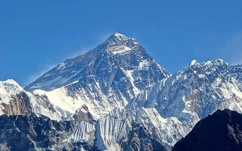
Mount Everest is the highest mountain above sea level on Earth, standing at an official elevation of 8,848.86 meters (29,031.7 ft). Straddling the international frontier between Nepal and China, it is known locally as Sagarmatha in Nepali ('Goddess of the Sky') and Chomolungma in Tibetan ('Mother Goddess of the World'). The peak rises into the extreme upper troposphere, where oxygen levels drop to barely one-third of sea-level pressure. Climbers face hurricane-force jet stream winds, severe frostbite conditions, shifting ice crevasses in the Khumbu Icefall, and the dangerous Death Zone above 8,000 meters.
Documented Expeditions on this Route (2)
Verified historical summits, siege campaigns, and pioneer attempts recorded on Mount Everest Complete West Ridge (Yugoslav Direct).
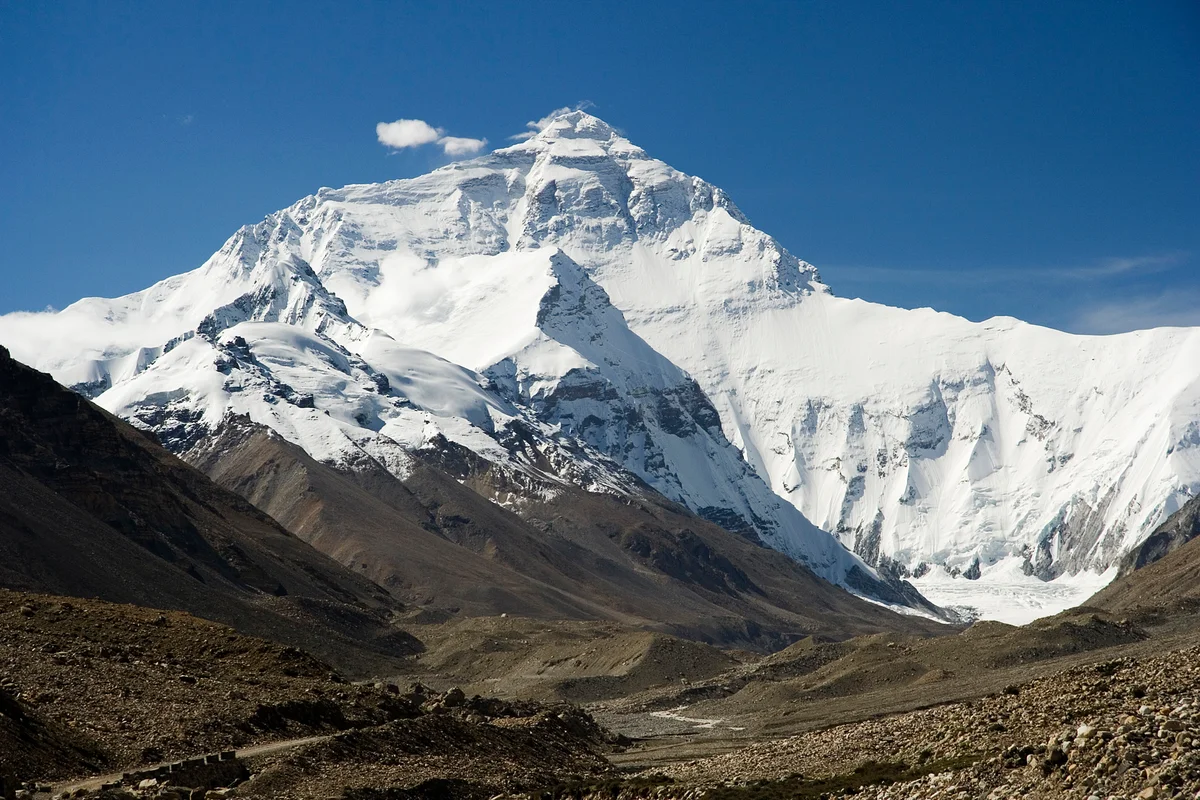
1979 Yugoslav Mount Everest Complete West Ridge Expedition
On May 13, 1979, Slovenian climbers Andrej Štremfelj and Nejc Zaplotnik completed the historic first ascent of Mount Everest's Complete West Ridge Direct from the Lho La col to the 8,848m summit, overcoming extreme Grade V+ rock climbing in the death zone.
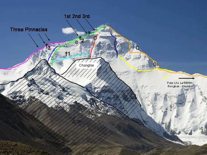
1979 Yugoslav Mount Everest West Ridge Direct Expedition
On May 13, 1979, Slovenian mountaineers Nejc Zaplotnik and Andrej Štremfelj achieved the historic first ascent of the complete, unbroken West Ridge Direct of Mount Everest (8,848m) without descending from the crest, overcoming the V+ Yellow Band crux at 8,300m and surviving an open bivouac at 8,400m.
Archival Chronicles & Stories on this Route (2)
In-depth longform historical narratives, harrowing survival accounts, and firsthand alpine journals on Mount Everest Complete West Ridge (Yugoslav Direct).
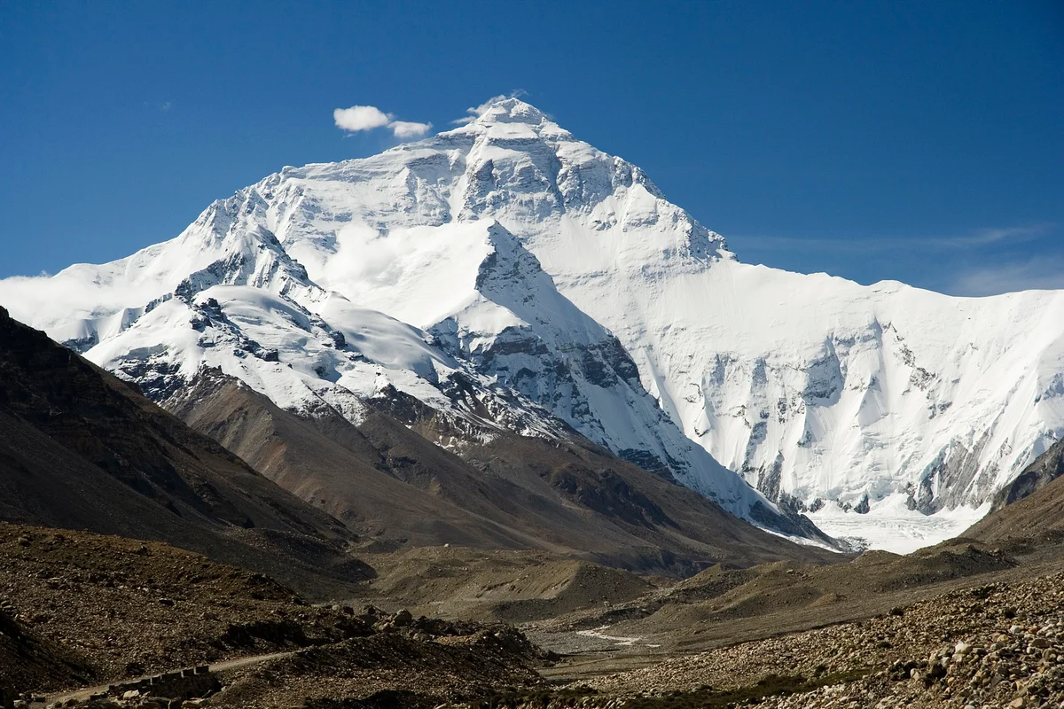
The Razor of the Sky: The 1979 Yugoslav First Ascent of Everest West Ridge
On May 13, 1979, Slovenian mountaineers Andrej Štremfelj and Nejc Zaplotnik conquered Mount Everest via the complete West Ridge direct, overcoming extreme Grade V+ rock in the death zone.
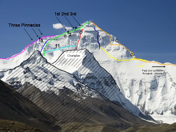
The Razor's Edge: Nejc Zaplotnik and the Complete Everest West Ridge Direct
On May 13, 1979, Slovenian mountaineers Nejc Zaplotnik and Andrej Štremfelj conquered Mount Everest's unbroken West Ridge Direct, surviving a minus forty-degree open bivouac at 8,400m.
Documented Sources & Archival Citations
- American Alpine Journal: Everest West Ridge Direct by Tone Škarja(American Alpine Club)
Supporting claim: Official expedition report and topographic account of the 1979 Yugoslav first ascent
Accessed/Documented: 1980 - Pot (The Path)(Nejc Zaplotnik / Cankarjeva Založba)
Supporting claim: Personal memoirs detailing the preparation, route finding, and final summit push on Everest West Ridge
Accessed/Documented: 1981