Rakhiot Flank & East Ridge (Original 1953 Route)
The historic original route on Nanga Parbat (8,126m), ascending from the Rakhiot Glacier over the heavily crevassed Rakhiot Icefall to reach the colossal Silbersattel (Silver Saddle) at 7,450 meters. From the saddle, the route traverses an immense high snow plateau for over three kilometers before negotiating the Bazhin Gap and climbing steep mixed rock ribs up the summit pyramid.
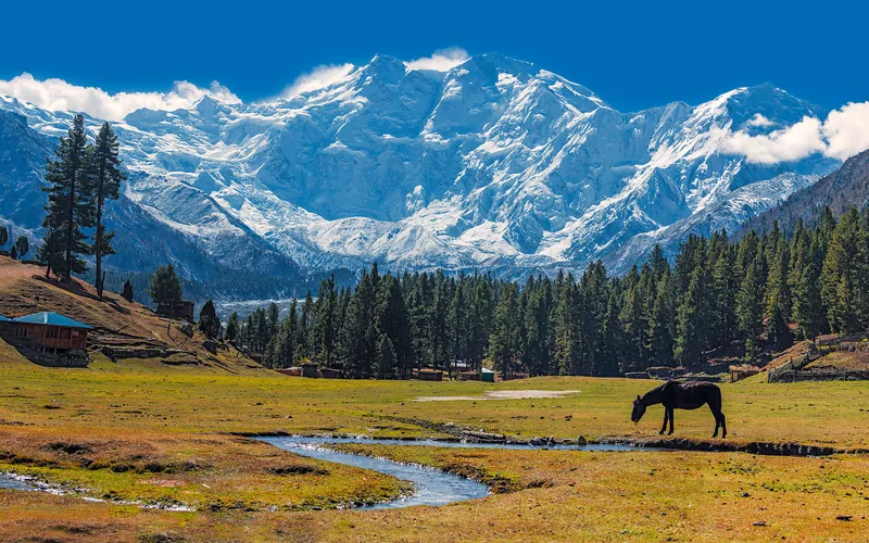
Ascent line, technical cruxes & camp topography profile for Rakhiot Flank & East Ridge (Original 1953 Route)
Mountain Safety & Conditions Disclaimer: High-altitude climbing, glacial travel, and technical ascents entail severe objective risks including avalanches, serac collapses, rapid weather collapse, and altitude illness. Historical route descriptions and summit claims on Mountanity reflect documented archival sources and must not be used as live operational safety assessments. Local regulations, permits, and physical glacial topography change continuously.
Peer Review: Senior Editorial Board & Historical Reviewers • Editorial Standards
Tactical & Camp Notes
Unlike the steeper, more direct Kinshofer Route on the Diamir Face, the Rakhiot Flank demands immense horizontal endurance at extreme altitudes. The vast plateau above 7,400 meters exposes climbers to debilitating winds and disorientation in poor visibility.
Identified Objective Hazards
- •Severe exhaustion from long-distance horizontal travel above 7,400 meters in the Death Zone
- •Catastrophic avalanche hazard on the lower Rakhiot Flank and falling ice seracs in the icefall
- •Extreme wind exposure and sudden temperature drops below -35°C on the open Silbersattel plateau
- •Acute hypoxia, high-altitude pulmonary edema, and cerebral disorientation without bottled oxygen
Historical Context
The route of the historic first ascent on July 3, 1953, by Hermann Buhl. Earlier German expeditions in 1934 and 1937 suffered catastrophic avalanche disasters along this flank, claiming 26 lives.
Interactive Elevation Profile
Vertical profile, technical cruxes, and camp staging progression for Rakhiot Flank & East Ridge (Original 1953 Route) on Nanga Parbat.
Established on grassy meadows along the lateral moraine of the Rakhiot Glacier below Fairy Meadows.
Camp-by-Camp Topography
Key staging altitudes, technical cruxes, and terrain transitions for Rakhiot Flank & East Ridge (Original 1953 Route).
Base Camp
Established on grassy meadows along the lateral moraine of the Rakhiot Glacier below Fairy Meadows.
Camp I
Located on the lower glacier directly below the chaotic seracs of the Rakhiot Icefall.
Camp II
Pitched on a protected snow terrace above the lower icefall labyrinth.
Camp III
Perched on the lower snow crest leading toward Rakhiot Peak.
Camp IV
Set in a wind-scoured glacial cirque directly beneath the Silver Saddle headwall.
Camp V
The high assault camp perched on a steep snow spur from which Hermann Buhl launched his 1953 solo summit push.
Silbersattel (Silver Saddle)
The high Himalayan pass opening into the boundless, wind-swept summit plateau.
Bazhin Gap & Shoulder
A deep, exposed depression along the summit ridge followed by mixed granite towers (the Buhl Shoulder).
Summit
The tiny, corniced snow crest forming the highest point of Nanga Parbat.
Topographic Location & Terrain Map
Cartographic datum, massif coordinates, and terrain context for Rakhiot Flank & East Ridge (Original 1953 Route) on Nanga Parbat.
Interactive Topographic Terrain Map
Click below to load live cartographic contours, glacier approaches, and geographic markers for Nanga Parbat (35°14′14″ N, 74°35′21″ E).
Key Statistics & Topographic Figures
- Route Type
- Historic Ridge Traverse & High Plateau
Topography
- Technical Difficulty
- Extreme High-Altitude Endurance / Grade IV, 55° Ice
UIAA IV rock, 50°–55° ice and heavily fractured seracs
- Country / Region
- Pakistan (Gilgit-Baltistan / Diamer)
Location
Archival Primary Source Quotations
“A mountain route is not merely a path of rock and ice; it is a test of human endurance, judgment, and humility.”
Defined Alpine Terminology & Concepts
- Crux
- The most difficult and technically demanding pitch or section of a climbing route.
- Normal Route (Voie Normale)
- The most frequently climbed, least technical, and historically standard path to a mountain summit.
Frequently Asked Questions: Rakhiot Flank & East Ridge (Original 1953 Route)
What is the climbing difficulty and grade of Rakhiot Flank & East Ridge (Original 1953 Route)?
Rakhiot Flank & East Ridge (Original 1953 Route) on nanga-parbat is graded as Extreme High-Altitude Endurance / Grade IV, 55° Ice, with technical climbing requirements including UIAA IV rock, 50°–55° ice and heavily fractured seracs.
What are the primary hazards on the Rakhiot Flank & East Ridge (Original 1953 Route)?
Climbers on Rakhiot Flank & East Ridge (Original 1953 Route) must navigate severe objective hazards including Severe exhaustion from long-distance horizontal travel above 7,400 meters in the Death Zone, Catastrophic avalanche hazard on the lower Rakhiot Flank and falling ice seracs in the icefall, Extreme wind exposure and sudden temperature drops below -35°C on the open Silbersattel plateau, Acute hypoxia, high-altitude pulmonary edema, and cerebral disorientation without bottled oxygen.
What camps are established on Rakhiot Flank & East Ridge (Original 1953 Route)?
Rakhiot Flank & East Ridge (Original 1953 Route) typically features 9 staging camps, progressing from Base Camp (3960m) up toward the summit.
Mountain Ascended


Nanga Parbat
Nanga Parbat, at 8,126 meters (26,660 ft), is the ninth-highest mountain on Earth and the western anchor of the Himalayas in Pakistan. It boasts the Rupal Face, the highest vertical precipice in the world at 4,600 meters from valley floor to summit. Known for profound climbing history, highlighted by Hermann Buhl's legendary solo summit without supplemental oxygen in 1953.
Documented Expeditions on this Route (2)
Verified historical summits, siege campaigns, and pioneer attempts recorded on Rakhiot Flank & East Ridge (Original 1953 Route).
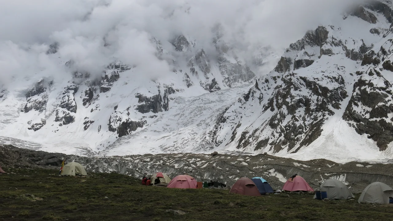
1895 Mummery Nanga Parbat Expedition
The groundbreaking 1895 expedition led by British climbing pioneer Albert F. Mummery that mounted the world's first-ever attempt to ascend an 8,000-meter peak, reaching 6,100 meters on Nanga Parbat (8,126m) before Mummery and two Gurkhas vanished crossing the Diama Pass.

1953 Austro-German Nanga Parbat Expedition
The Austro-German expedition resulting in Hermann Buhl's epoch-making solo summit of Nanga Parbat (8,126m) without supplemental oxygen.
Archival Chronicles & Stories on this Route (2)
In-depth longform historical narratives, harrowing survival accounts, and firsthand alpine journals on Rakhiot Flank & East Ridge (Original 1953 Route).
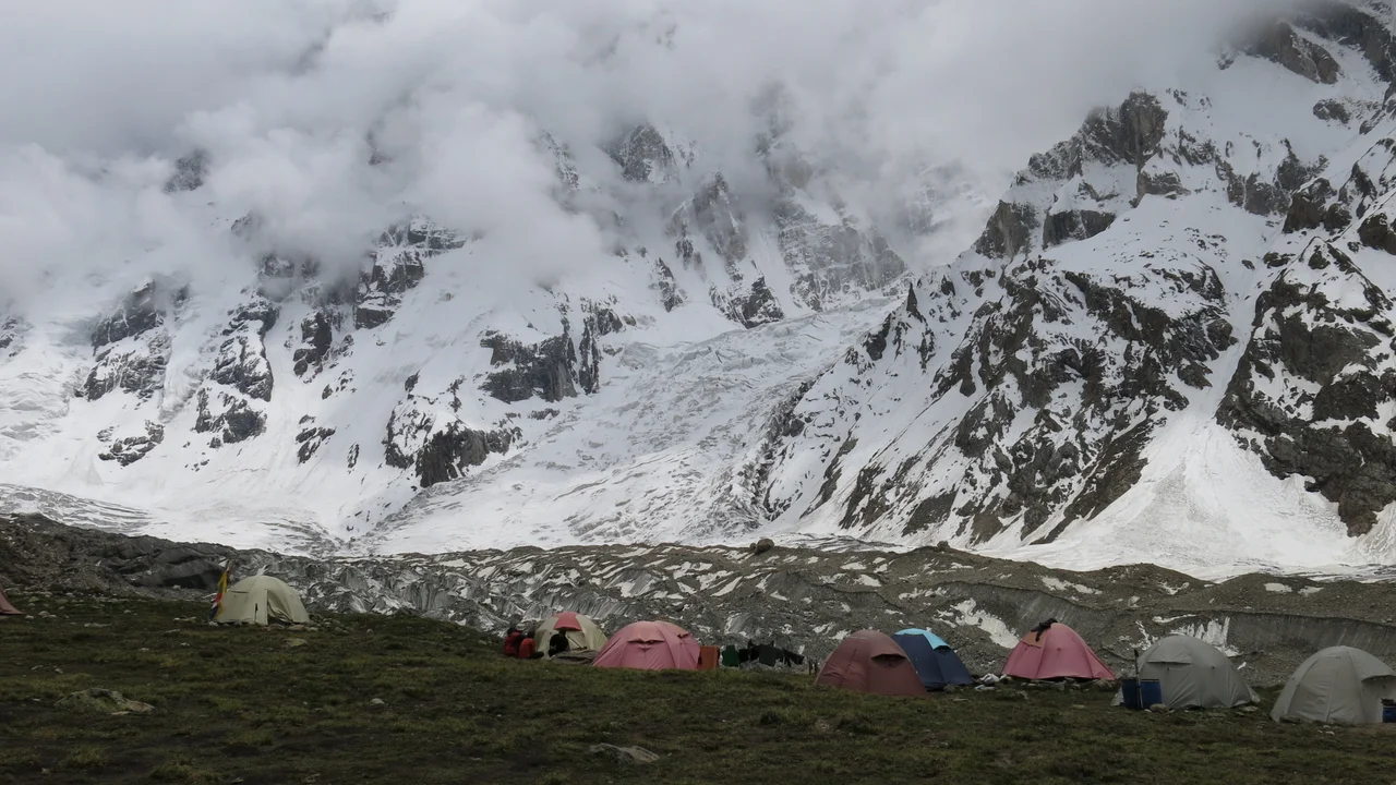
Nanga Parbat 1895: Albert Mummery and the First Assault on an Eight-Thousander
In the summer of 1895, visionary British climber Albert F. Mummery mounted the world's first-ever expedition against an 8,000-meter peak on Nanga Parbat (8,126m), pioneering modern alpine style before vanishing forever into the mountain's mists.

Forty-One Hours Alone: Hermann Buhl on Nanga Parbat
How a bold Austrian climber shattered physiological dogma with the first solo ascent of an 8,000-meter peak in 1953 without supplemental oxygen.
Documented Sources & Archival Citations
- Achttausend drüber und drunter (Nanga Parbat Pilgrimage)(Hermann Buhl / Nymphenburger Verlag)
Supporting claim: Detailed description of the Rakhiot Flank, Silbersattel traverse, and solo summit route
Accessed/Documented: 1954 - Nanga Parbat: The Killer Mountain(Karl Herrligkoffer / Elek Books)
Supporting claim: Official topographical survey and camp placement record of the 1953 expedition
Accessed/Documented: 1954