Storming the Schweizerland: The 1931 Mount Forel Attempt
Gino Watkins and Alfred Stephenson push high into the unexplored Schweizerland Alps to make the first alpine assault on Mount Forel.
Mountain Safety & Conditions Disclaimer: High-altitude climbing, glacial travel, and technical ascents entail severe objective risks including avalanches, serac collapses, rapid weather collapse, and altitude illness. Historical route descriptions and summit claims on Mountanity reflect documented archival sources and must not be used as live operational safety assessments. Local regulations, permits, and physical glacial topography change continuously.
Peer Review: Senior Editorial Board & Historical Reviewers • Editorial Standards
Storming the Schweizerland: The 1931 Mount Forel Attempt
The Lure of the Schweizerland Horn
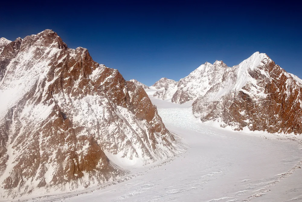
Following the successful relief of Augustine Courtauld in May 1931, the British Arctic Air Route Expedition turned its attention from polar survival to high-angle alpine exploration. Rising above the western head of Sermilik Fjord was the Schweizerland Alps, a wild, heavily glaciated mountain range named by Swiss geophysicist Alfred de Quervain in 1912.
Dominating the range was Mount Forel (3,383 m), a magnificent mountain crowned by an enormous, symmetrical dome of crystalline ice. Standing just north of the Arctic Circle, Forel was the highest mountain in Greenland outside the distant Watkins Range. To Gino Watkins, it was an irresistible mountaineering challenge.
Watkins was determined to test whether high Arctic peaks could be climbed in rapid alpine style. On May 18, 1931, Watkins set out from the coast with chief surveyor Alfred Stephenson, driving two teams of Greenland sledging dogs inland across the fjord glaciers.
Ascending the Midgard Glacier
Navigating dog sleds across sea ice and the chaotic crevasses of the lower Midgard Glacier pushed the two men to their physical limits. Several times, dogs slipped into hidden snow chasms, requiring frantic hauling on leather harnesses to extract the howling animals.
Leaving the dog teams at a base camp on the upper glacier plateau at 1,750 metres, Watkins and Stephenson loaded rucksacks with three days of rations, an ice axe, crampons, and a 100-foot hemp climbing rope. They struck directly toward Mount Forel’s Northeast Ridge.
The approach required scaling steep 40-degree snow ramps beneath towering granite spires. The Arctic sun circled the horizon without setting, softening the upper snowpack during midday and freezing it into hard, gleaming névé at midnight. Taking advantage of the midnight freeze, Watkins and Stephenson climbed through the night, their steel crampon spikes biting into firm ice.
The Crux on the Ice Dome
By early morning on May 29, 1931, Watkins and Stephenson reached a razor-sharp col at 2,650 metres, peering down immense vertical rock walls into the untrodden valleys of King Christian IX Land.
Above them loomed the crux of the mountain: the crowning summit ice dome, a steep, bulbous carapace of hard blue ice perched at over 3,300 metres. Watkins led the way up the Northeast Ridge, kicking steps and cutting occasional handholds in the hard snow.
At an altitude of approximately 3,250 metres—a mere 130 metres below the summit apex—the climbers encountered a formidable bergschrund: a cavernous, bottomless crevasse cleaving the upper snow ramp from the ice dome. To the left, immense overhanging cornices barred progress; to the right, vertical, shattered rock fell away into the void.
Furthermore, the afternoon sun was now blazing down upon the mountain, turning the upper snow slopes into heavy, unstable slush liable to avalanche at any moment. Recognizing that they lacked the wooden ice pitons and fixed ropes necessary to bridge the bergschrund in melting snow, Watkins made the mature and disciplined decision to retreat.
The pair descended safely to Base Camp, having reached the highest mountaineering elevation achieved in Greenland up to that time. Seven years later, in 1938, Swiss alpinist André Roch would follow Watkins’ route to complete the first ascent of Mount Forel, paying tribute to the pioneering reconnaissance established by Gino Watkins.
Key Statistics & Topographic Figures
- Category
- Polar Pioneers
Archival Subject
- Reading Time
- 15 min read
Narrative Length
- Key Mountain
- mount-forel
Objective
- Ascent Route
- mount-forel-northeast-ridge
Topography
- Verification
- Editorially Verified
Archival Standard
Archival Primary Source Quotations
“In the mountains, truth is etched in ice and granite; every step requires unwavering respect for the heights.”
Defined Alpine Terminology & Concepts
- Summit Push
- The final continuous climbing effort from the highest established camp to the mountain apex and back.
- Death Zone Chronicle
- A verified, research-backed historical narrative documenting the human, technical, and environmental realities of an alpine expedition.
Frequently Asked Questions: Storming the Schweizerland: The 1931 Mount Forel Attempt
What is the core chronicle and subject of "Storming the Schweizerland: The 1931 Mount Forel Attempt"?
Gino Watkins and Alfred Stephenson push high into the unexplored Schweizerland Alps to make the first alpine assault on Mount Forel.
Which mountain peaks and routes are featured in "Storming the Schweizerland: The 1931 Mount Forel Attempt"?
This narrative documents climbs on mount-forel along the mount-forel-northeast-ridge in Greenland.
Which documented expedition is chronicled in this story?
This historical chronicle captures the events of the 1931-watkins-forel-attempt-schweizerland, verified through contemporary journals and archival records.
Who authored and researched this archival chronicle?
Authored and researched by Mountainity Historical Research Desk, drawing on primary eyewitness testimonies, alpine club registries, and verified summit logs.
What makes this high-altitude chronicle historically significant?
Categorized under "Polar Pioneers", this chronicle preserves critical lessons in alpine leadership, survival, tactical speed, and human endurance in the death zone.
Related Mountains

Mount Forel
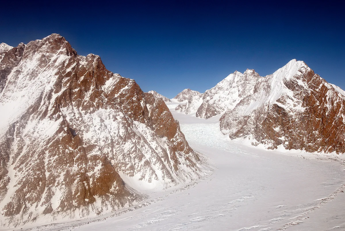
Mount Forel is a magnificent glaciated dome summit standing at 3,383 metres (11,099 ft) in the Schweizerland Alps of East Greenland, just north of the Arctic Circle. It is the highest mountain in Greenland outside the Watkins Range. Named in 1912 by Swiss explorer Alfred de Quervain in honor of limnologist François-Alphonse Forel, the mountain was famously explored by Gino Watkins and Alfred Stephenson in 1931, before being conquered on its first ascent by André Roch's Swiss expedition in 1938. The peak is renowned for its perpetual summit ice dome and sweeping views across the Sermilik fjord and coastal glacier systems.
Documented Sources & Archival Citations
- The Journey to Mount Forel(The Geographical Journal / H. G. Watkins)
Supporting claim: Firsthand account of the 1931 Forel climb
Accessed/Documented: 1932