Greenland
The world's largest island, dominated by an immense continental ice sheet up to three kilometres thick. Flanked by deep fjords and precipitous nunatak cordilleras, Greenland features the highest summits in the Arctic, including the Watkins Range, the Schweizerland Alps, and the isolated polar pyramids of King Christian X Land, where mountaineers confront extreme sub-zero blizzards, unmapped crevasses, and complete wilderness autonomy.
Peer Review: Senior Editorial Board & Historical Reviewers • Editorial Standards
Key Statistics & Topographic Figures
- Archive Classification
- COUNTRIES
Mountanity Knowledge Corpus
- Verification Status
- Editorially Verified
Archival Standards
- Citation Standard
- Primary Source Verified
Alpine Research Desk
Mountain Peaks in Greenland
Technical profiles, elevations, and ascent histories for summits located in or spanning Greenland.
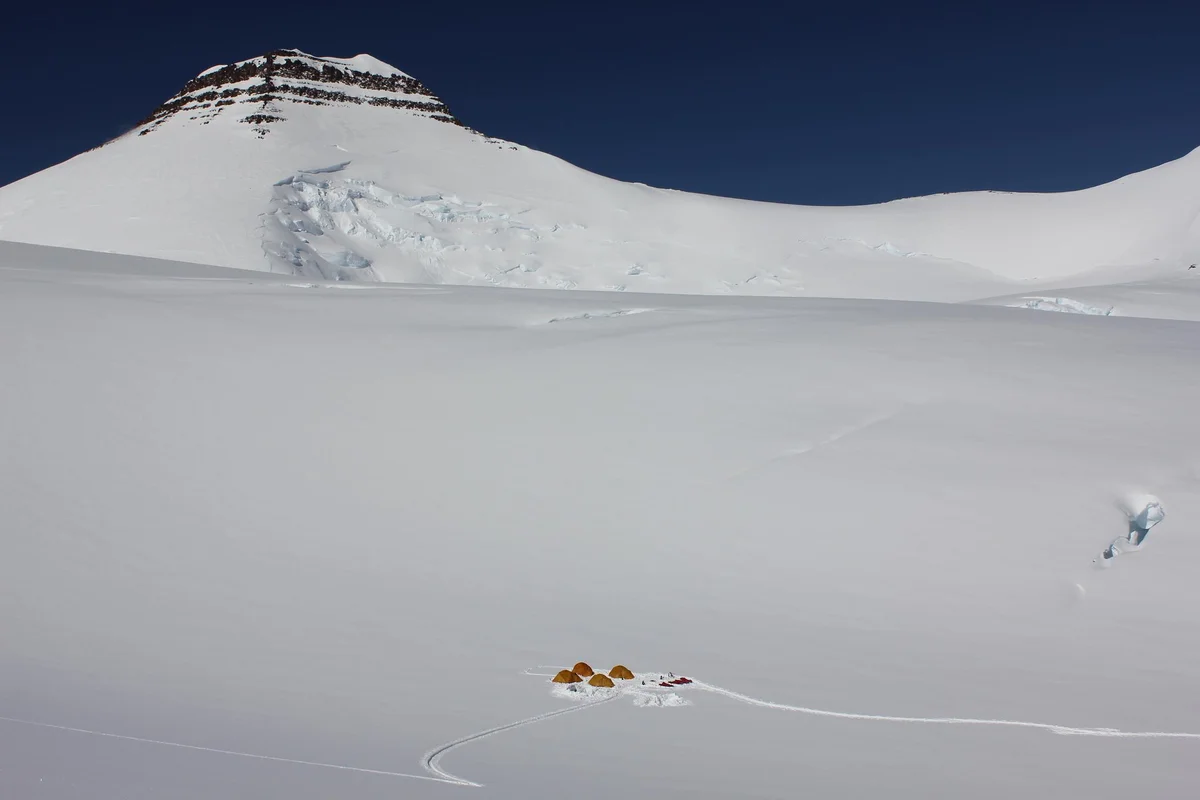
Gunnbjørn Fjeld
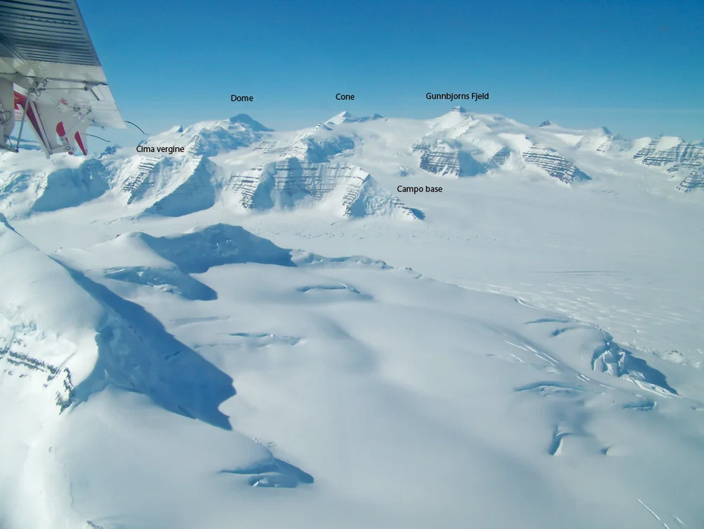
Gunnbjørn Fjeld is the highest mountain in Greenland and the highest peak north of the Arctic Circle at 3,694 metres (12,119 ft). Rising as an enormous basaltic nunatak above the glaciated plateau of the Watkins Range in East Greenland, it was first sighted from the air in 1930 by Gino Watkins and named after the 9th-century Norse explorer Gunnbjørn Ulfsson. The maiden first ascent was achieved on August 16, 1935, by Lawrence Wager, Ebbe Munck, Jack Longland, and Patrick Courtauld during an Anglo-Danish expedition. Climbing Gunnbjørn Fjeld involves moderate alpine glacier ascents, but requires complete self-reliance against extreme polar gales, severe windchill, and isolated Arctic conditions.
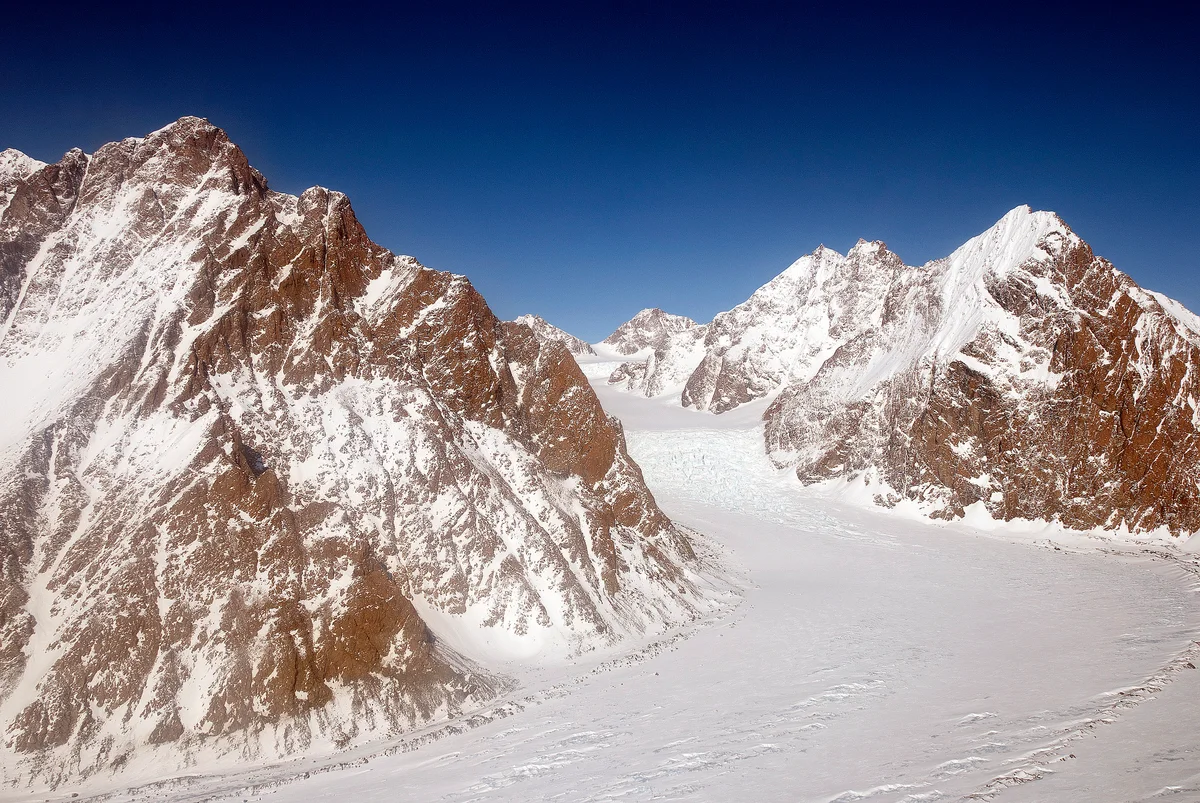
Mount Forel
Mount Forel is a magnificent glaciated dome summit standing at 3,383 metres (11,099 ft) in the Schweizerland Alps of East Greenland, just north of the Arctic Circle. It is the highest mountain in Greenland outside the Watkins Range. Named in 1912 by Swiss explorer Alfred de Quervain in honor of limnologist François-Alphonse Forel, the mountain was famously explored by Gino Watkins and Alfred Stephenson in 1931, before being conquered on its first ascent by André Roch's Swiss expedition in 1938. The peak is renowned for its perpetual summit ice dome and sweeping views across the Sermilik fjord and coastal glacier systems.
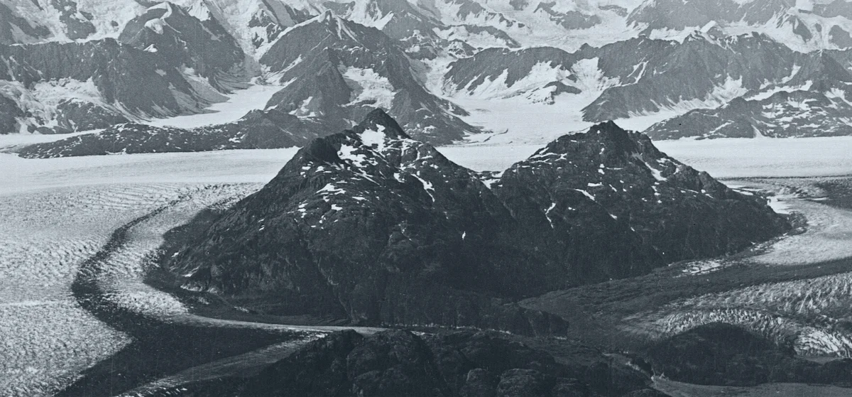
Petermann Peak
Petermann Peak is a dramatic 2,943-metre (9,656 ft) glaciated nunatak dominating western Fraenkel Land and the inner Kejser Franz Joseph Fjord in Northeast Greenland. Discovered in August 1870 by Julius Payer and named after German cartographer August Petermann, the mountain was long believed to be the highest summit in all of Greenland until the Watkins Range was surveyed. On August 15, 1929, Scottish polar geologist James Wordie led the Cambridge Expedition to its maiden first ascent via the Gregory Glacier. Standing within the Northeast Greenland National Park, Petermann Peak is an iconic monument of high-latitude Arctic mountaineering.
Mountain Ranges Spanning Greenland
Geographic mountain massifs, regional topography, and glaciated chains within Greenland.
Schweizerland Alps
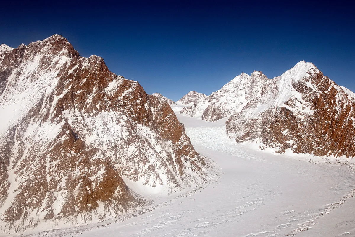
The Schweizerland Alps form a spectacular coastal alpine cordillera in King Christian IX Land, Sermersooq Municipality, East Greenland. Named in 1912 by Swiss geophysicist Alfred de Quervain, the region is characterized by jagged granite needles, enormous tidewater glaciers, and the dominant icy dome of Mount Forel (3,383 m), the highest summit in Greenland outside the Watkins Range.
Watkins Range
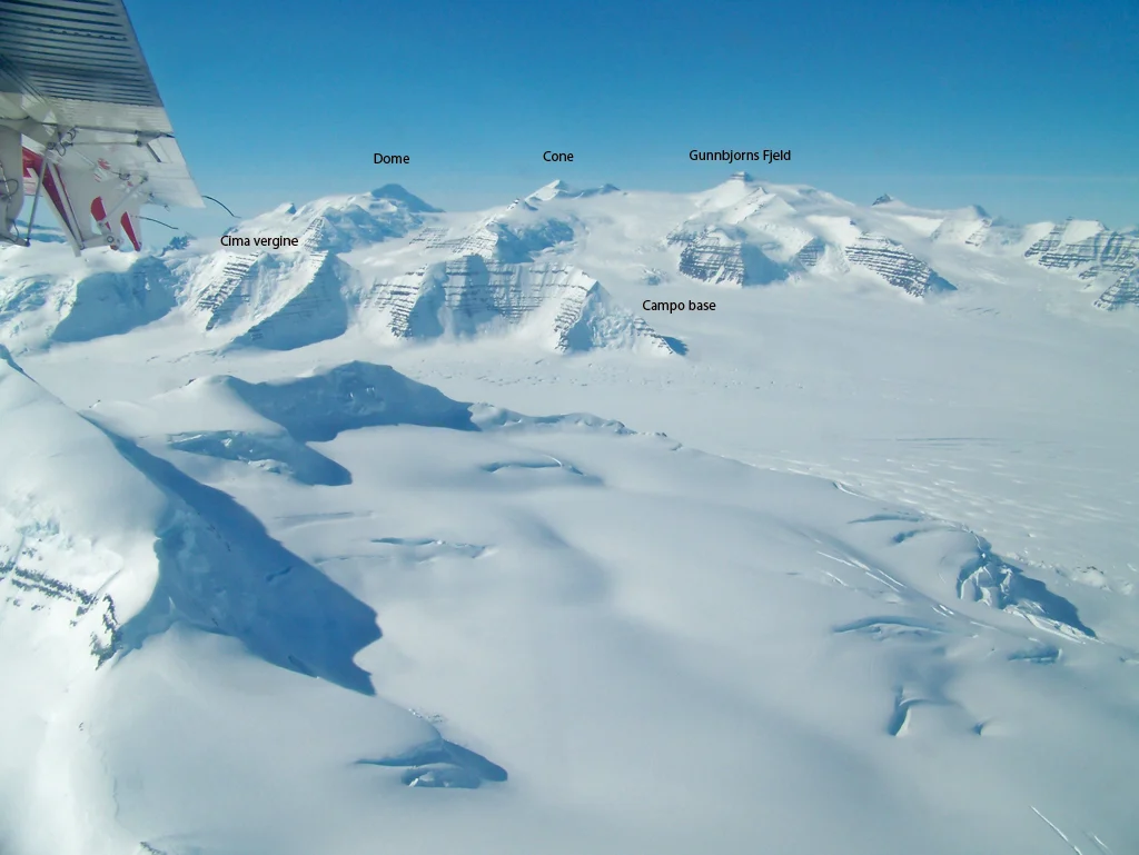
The Watkins Range is the highest mountain chain in the Arctic, situated in King Christian IX Land along the remote east coast of Greenland. Discovered in 1930 by Gino Watkins during the British Arctic Air Route Expedition, the range features massive nunataks protruding through the polar ice cap, crowned by Gunnbjørn Fjeld (3,694 m), the highest peak north of the Arctic Circle.
Documented Climbing Routes
Classic lines of ascent, technical difficulties, and objective hazards across Greenland's summits.
South Ridge Normal Route of Gunnbjørn Fjeld
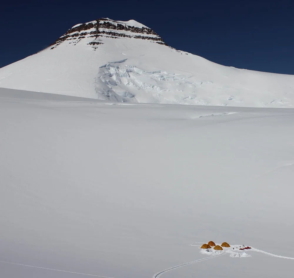
The South Ridge Normal Route on Gunnbjørn Fjeld ascends from the upper glaciated basin of the Watkins Range to follow a broad, windswept snow and ice ramp onto the narrow summit ridge. First climbed on August 16, 1935, by Lawrence Wager, Ebbe Munck, Jack Longland, and Patrick Courtauld, it is the classic line to the highest summit in the Arctic. Although technical difficulties are modest (Grade II alpine snow up to 35 degrees), climbers must manage severe Arctic cold, hidden crevasses, and utter remote wilderness where rescue by ski-equipped aircraft is weather-dependent.
Northeast Ridge & Summit Ice Dome of Mount Forel
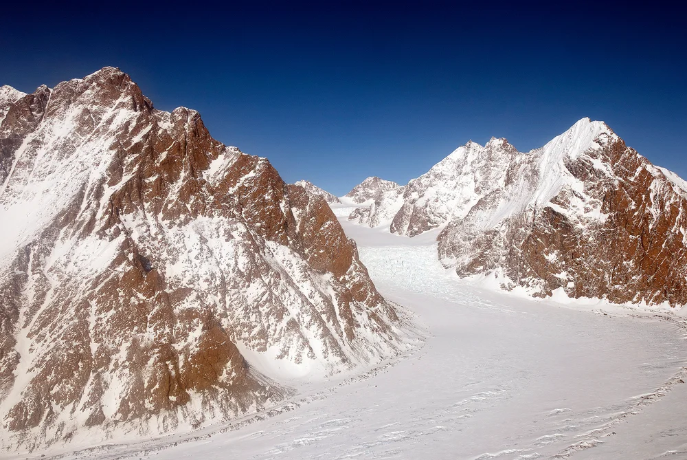
The Northeast Ridge of Mount Forel ascends glaciated slopes from the Schweizerland plateau before tackling the steep, crevassed approach to the mountain's prominent summit ice dome. First reconnoitred by Gino Watkins and Alfred Stephenson in 1931 and climbed to the apex by André Roch's Swiss expedition in 1938, this route combines alpine glacier route-finding with 45-degree ice climbing over the final rim to reach the top. Climbers face ferocious coastal Greenland storms and complex crevasse fields.
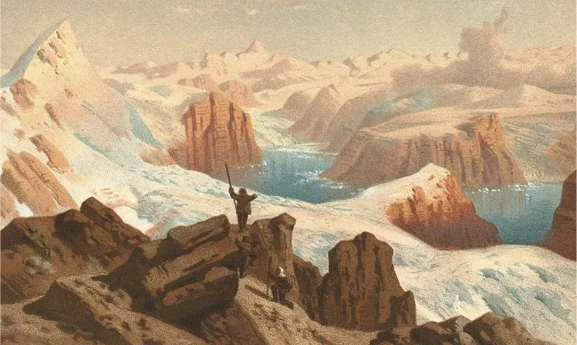
Southwest Ridge & Gregory Glacier Route of Petermann Peak
The Southwest Ridge via Gregory Glacier is the historic pioneering route on Petermann Peak, ascending from the fjords of Kejser Franz Joseph through the rugged Knækdalen gorge to the vast inland ice sheet before climbing the rock and snow crest of the nunatak. Pioneered in August 1929 by Scottish polar explorer James Wordie and his Cambridge University team, the route represents one of the classic epics of Arctic exploration, traversing heavily crevassed icefalls and exposed mixed rock bands to attain the summit.
Historic Expeditions & First Ascents
Epoch-making sieges and triumphant summits recorded within Greenland's alpine history.
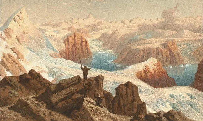
1929 James Wordie Cambridge East Greenland Expedition First Ascent of Petermann Peak
On August 15, 1929, Scottish polar geologist James Wordie and his Cambridge University team completed the historic maiden first ascent of Petermann Peak (2,943 m) in Northeast Greenland. Long presumed to be the highest mountain on the island, the nunatak was conquered via the heavily crevassed Gregory Glacier and a rugged mixed ridge in pristine Arctic weather.
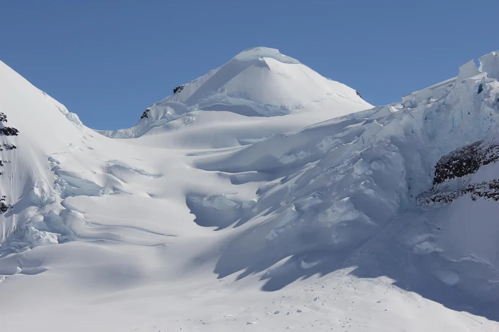
1930–1931 Augustine Courtauld Five-Month Solitary Winter Vigil at Ice Cap Station
From December 6, 1930, to May 5, 1931, British explorer Augustine Courtauld spent five months completely alone manning Ice Cap Station at 2,620 metres on the Greenland ice sheet. Buried beneath severe snowdrifts for six weeks in total darkness when his entrance collapsed, Courtauld maintained precise weather observations until rescued by Gino Watkins.
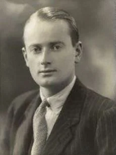
1930–1931 British Arctic Air Route Expedition (BAARE) Discovery of the Watkins Range
Led by 23-year-old Gino Watkins, the 1930–1931 British Arctic Air Route Expedition conducted the definitive scientific exploration of East Greenland. Using de Havilland Gipsy Moth aircraft and dog sleds, Watkins discovered the Watkins Range, discovered Gunnbjørn Fjeld (3,694 m), mapped the Schweizerland Alps, and surveyed potential transatlantic air corridors.
1931 Gino Watkins & Alfred Stephenson Schweizerland Alps Reconnaissance & Mount Forel Attempt
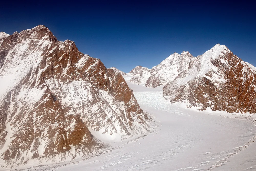
In May 1931, British Arctic explorer Gino Watkins and chief surveyor Alfred Stephenson ventured into the unexplored Schweizerland Alps to attempt Mount Forel (3,383 m). Navigating steep outlet glaciers and granite walls, the pair climbed to within 130 metres of the summit ice dome before impassable crevasses and soft snow forced a prudent retreat.
1935 Lawrence Wager & Ebbe Munck Anglo-Danish Expedition Historic First Ascent of Gunnbjørn Fjeld
On August 16, 1935, a joint Anglo-Danish party led by Lawrence Wager and Ebbe Munck achieved the historic maiden first ascent of Gunnbjørn Fjeld (3,694 m), the highest peak north of the Arctic Circle. Climbing via the South Ridge snowfields from the Watkins glacier, Wager, Munck, Jack Longland, and Patrick Courtauld conquered the roof of the Arctic.
Archival Primary Source Quotations
“Great things are done when men and mountains meet; this is not done by jostling in the street.”
Defined Alpine Terminology & Concepts
- Archival Integrity
- The standard of verifying historical mountain facts, summit claims, and altitudes using primary expeditions journals and geodetic measurements.
Frequently Asked Questions: Greenland Mountaineering
What historical significance does this countrie hold?
Greenland represents an essential chapter in global mountaineering heritage, verified through contemporary expedition journals and archival sources.
How are the facts and records for Greenland verified?
All records are checked against peer-reviewed journals, national alpine clubs, geodetic surveys, and the Mountanity Archival Integrity Policy.