Watkins Range
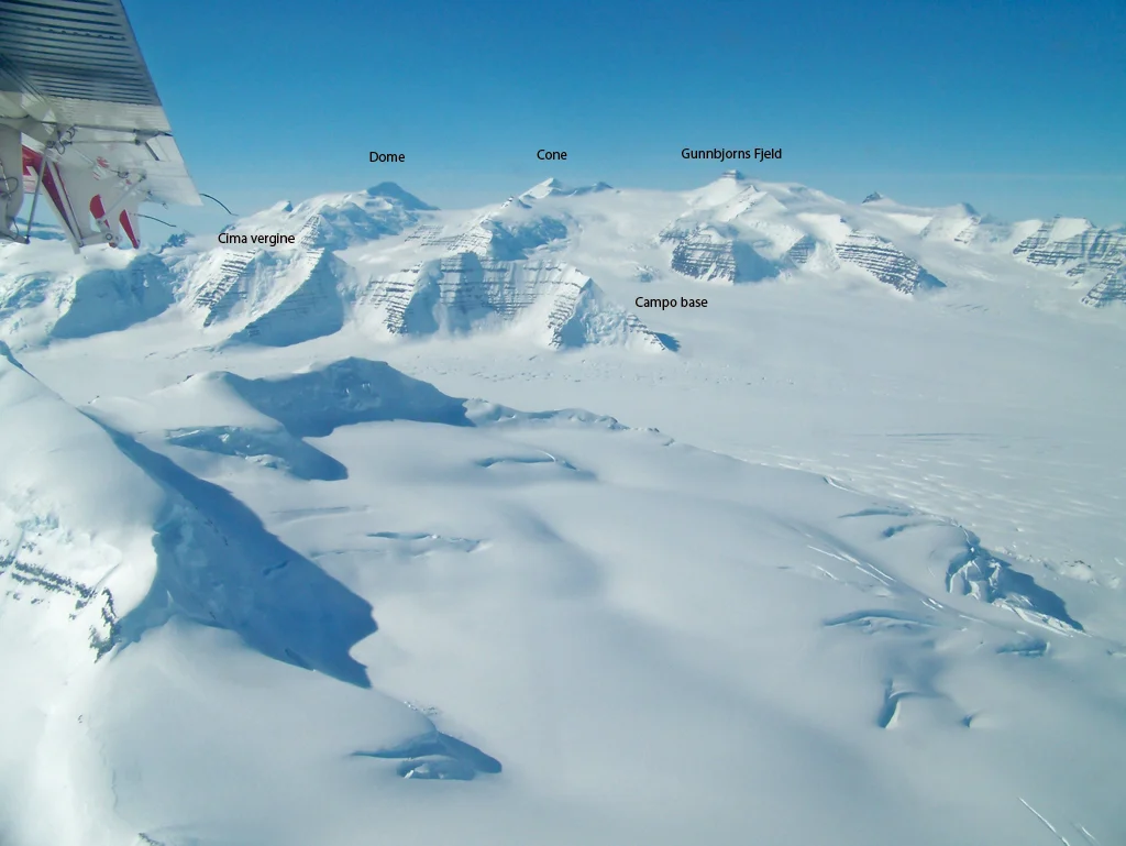
The Watkins Range is the highest mountain chain in the Arctic, situated in King Christian IX Land along the remote east coast of Greenland. Discovered in 1930 by Gino Watkins during the British Arctic Air Route Expedition, the range features massive nunataks protruding through the polar ice cap, crowned by Gunnbjørn Fjeld (3,694 m), the highest peak north of the Arctic Circle.
Peer Review: Senior Editorial Board & Historical Reviewers • Editorial Standards
Key Statistics & Topographic Figures
- Archive Classification
- RANGES
Mountanity Knowledge Corpus
- Verification Status
- Editorially Verified
Archival Standards
- Citation Standard
- Primary Source Verified
Alpine Research Desk
Archival Primary Source Quotations
“Great things are done when men and mountains meet; this is not done by jostling in the street.”
Defined Alpine Terminology & Concepts
- Archival Integrity
- The standard of verifying historical mountain facts, summit claims, and altitudes using primary expeditions journals and geodetic measurements.
Frequently Asked Questions: Watkins Range
What historical significance does this range hold?
Watkins Range represents an essential chapter in global mountaineering heritage, verified through contemporary expedition journals and archival sources.
How are the facts and records for Watkins Range verified?
All records are checked against peer-reviewed journals, national alpine clubs, geodetic surveys, and the Mountanity Archival Integrity Policy.
Documented Peaks in Watkins Range
Gunnbjørn Fjeld
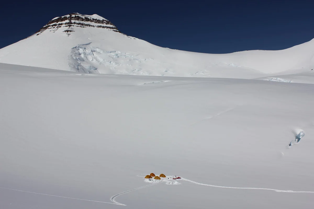
Gunnbjørn Fjeld is the highest mountain in Greenland and the highest peak north of the Arctic Circle at 3,694 metres (12,119 ft). Rising as an enormous basaltic nunatak above the glaciated plateau of the Watkins Range in East Greenland, it was first sighted from the air in 1930 by Gino Watkins and named after the 9th-century Norse explorer Gunnbjørn Ulfsson. The maiden first ascent was achieved on August 16, 1935, by Lawrence Wager, Ebbe Munck, Jack Longland, and Patrick Courtauld during an Anglo-Danish expedition. Climbing Gunnbjørn Fjeld involves moderate alpine glacier ascents, but requires complete self-reliance against extreme polar gales, severe windchill, and isolated Arctic conditions.
Petermann Peak
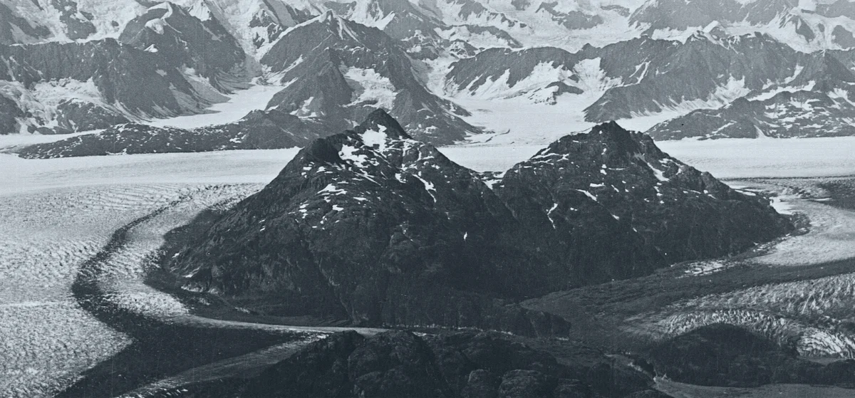
Petermann Peak is a dramatic 2,943-metre (9,656 ft) glaciated nunatak dominating western Fraenkel Land and the inner Kejser Franz Joseph Fjord in Northeast Greenland. Discovered in August 1870 by Julius Payer and named after German cartographer August Petermann, the mountain was long believed to be the highest summit in all of Greenland until the Watkins Range was surveyed. On August 15, 1929, Scottish polar geologist James Wordie led the Cambridge Expedition to its maiden first ascent via the Gregory Glacier. Standing within the Northeast Greenland National Park, Petermann Peak is an iconic monument of high-latitude Arctic mountaineering.
Documented Sources & Archival Citations
- The British Arctic Air Route Expedition 1930–1931(The Geographical Journal / Royal Geographical Society)
Supporting claim: Cartographical and topographical discovery of the Watkins Range
Accessed/Documented: 2026