Petermann Peak
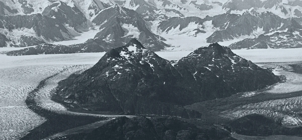
Petermann Peak is a dramatic 2,943-metre (9,656 ft) glaciated nunatak dominating western Fraenkel Land and the inner Kejser Franz Joseph Fjord in Northeast Greenland. Discovered in August 1870 by Julius Payer and named after German cartographer August Petermann, the mountain was long believed to be the highest summit in all of Greenland until the Watkins Range was surveyed.
 Greenland
Mountain Safety & Conditions Disclaimer: High-altitude climbing, glacial travel, and technical ascents entail severe objective risks including avalanches, serac collapses, rapid weather collapse, and altitude illness. Historical route descriptions and summit claims on Mountanity reflect documented archival sources and must not be used as live operational safety assessments. Local regulations, permits, and physical glacial topography change continuously.
Peer Review: Senior Editorial Board & Historical Reviewers • Editorial Standards
Geographical Setting & Topography
Fraenkel Land, Kejser Franz Joseph Fjord, Northeast Greenland National Park.
Historic First Ascent
Date: August 15, 1929
Ascent Team: James Wordie, R.C. Wakefield, W.F. Whittard, and Gordon Manley
Key Statistics & Topographic Figures
- Official Elevation
- 2,943 metres (9,656 ft)
- Prominence
- 1,200 metres
- First Ascent
- August 15, 1929
- First Ascender
- Sir James Mann Wordie
- Protected Area
- Northeast Greenland National Park
Archival Primary Source Quotations
“From Petermann Peak the eye travels across unmapped ice to the northern horizon, a realm where nature remains supreme.”
Defined Alpine Terminology & Concepts
- Nunatak Pyramid
- A four-sided pyramidal peak formed by glacial cirque erosion on all flanks, standing isolated above an ice cap.
- Tidewater Fjord
- A steep-sided glacial valley flooded by ocean waters where tidewater glaciers calve icebergs into the sea.
Petermann Peak Mountain Weather Forecast
Detailed 14-Day Summit Window & Weather Timeline
Explore day-by-day summit push safety windows, wind shear analysis, and extended multi-day forecasts for Petermann Peak.
Explore Petermann Peak (2,943 m) in Interactive 3D
Inspect steep glacial walls, hanging seracs, ridge approaches, and elevation relief with 360° rotation and terrain tilt in WebGL.
Documented Climbing Routes (1)
Southwest Ridge & Gregory Glacier Route of Petermann Peak
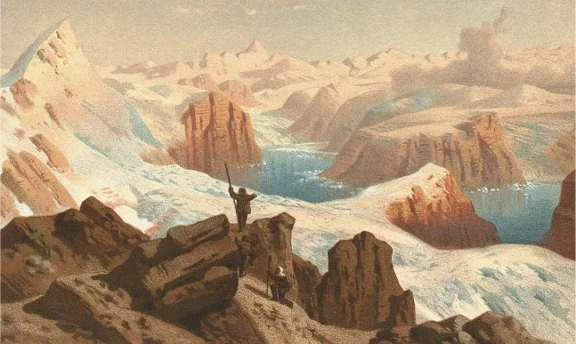
The Southwest Ridge via Gregory Glacier is the historic pioneering route on Petermann Peak, ascending from the fjords of Kejser Franz Joseph through the rugged Knækdalen gorge to the vast inland ice sheet before climbing the rock and snow crest of the nunatak. Pioneered in August 1929 by Scottish polar explorer James Wordie and his Cambridge University team, the route represents one of the classic epics of Arctic exploration, traversing heavily crevassed icefalls and exposed mixed rock bands to attain the summit.
Historical Expeditions (1)
1929 James Wordie Cambridge East Greenland Expedition First Ascent of Petermann Peak
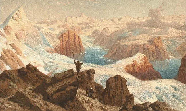
On August 15, 1929, Scottish polar geologist James Wordie and his Cambridge University team completed the historic maiden first ascent of Petermann Peak (2,943 m) in Northeast Greenland. Long presumed to be the highest mountain on the island, the nunatak was conquered via the heavily crevassed Gregory Glacier and a rugged mixed ridge in pristine Arctic weather.
Summit Chronicles & Stories (1)
Crown of the Fjords: The 1929 First Ascent of Petermann Peak
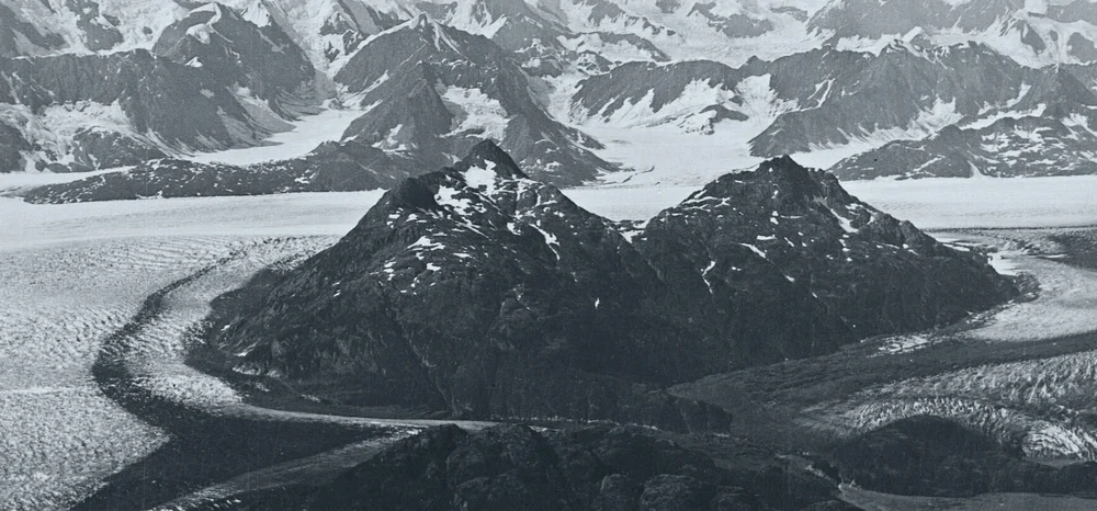
Shackleton veteran James Wordie leads the Cambridge Expedition through Greenland's labyrinthine fjords to conquer Petermann Peak.
Frequently Asked Questions: Petermann Peak
What is Petermann Peak and how high is it?
Petermann Peak is a dramatic 2,943-metre glaciated nunatak located in western Fraenkel Land near Kejser Franz Joseph Fjord in Northeast Greenland.
Who made the first ascent of Petermann Peak?
Sir James Mann Wordie led the Cambridge East Greenland Expedition to the maiden first ascent on August 15, 1929.
In what conservation area is Petermann Peak situated?
Petermann Peak stands within the Northeast Greenland National Park, the largest national park and largest protected land area in the world.
Documented Sources & Archival Citations
- Cambridge East Greenland Expedition, 1929: Ascent of Petermann Peak(The Geographical Journal / J.M. Wordie)
Supporting claim: First ascent chronicle of Petermann Peak
Accessed/Documented: 1930