Southwest Ridge & Gregory Glacier Route of Petermann Peak
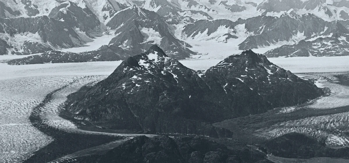
The Southwest Ridge via Gregory Glacier is the historic pioneering route on Petermann Peak, ascending from the fjords of Kejser Franz Joseph through the rugged Knækdalen gorge to the vast inland ice sheet before climbing the rock and snow crest of the nunatak.
Ascent line, technical cruxes & camp topography profile for Southwest Ridge & Gregory Glacier Route of Petermann Peak
Mountain Safety & Conditions Disclaimer: High-altitude climbing, glacial travel, and technical ascents entail severe objective risks including avalanches, serac collapses, rapid weather collapse, and altitude illness. Historical route descriptions and summit claims on Mountanity reflect documented archival sources and must not be used as live operational safety assessments. Local regulations, permits, and physical glacial topography change continuously.
Peer Review: Senior Editorial Board & Historical Reviewers • Editorial Standards
Tactical & Camp Notes
Historically approached by ship into Kejser Franz Joseph Fjord followed by multi-day backpacking across glacial valleys.
Identified Objective Hazards
- •Extensive crevasse labyrinths on the Gregory Glacier requiring complex navigation
- •Rockfall hazard on the lower shattered metamorphic buttresses
- •Extreme isolation hundreds of kilometres inside the uninhabited National Park
Interactive Elevation Profile
Vertical profile, technical cruxes, and camp staging progression for Southwest Ridge & Gregory Glacier Route of Petermann Peak on Petermann Peak.
Coastal depot near the tidewater terminus of the fjord system.
Camp-by-Camp Topography
Key staging altitudes, technical cruxes, and terrain transitions for Southwest Ridge & Gregory Glacier Route of Petermann Peak.
Fjord Head Camp (Kejser Franz Joseph)
Coastal depot near the tidewater terminus of the fjord system.
Gregory Glacier Moraine Camp
Intermediate campsite on the lateral moraine overlooking the Gregory icefall.
Petermann Nunatak High Camp
High camp nestled beneath the Southwest Ridge rock buttress on the inland ice sheet.
Petermann Peak Summit Horn
The commanding rocky summit beacon of Northeast Greenland, overlooking the Nordenskiöld Glacier.
Topographic Location & Terrain Map
Cartographic datum, massif coordinates, and terrain context for Southwest Ridge & Gregory Glacier Route of Petermann Peak on Petermann Peak.
Interactive Topographic Terrain Map
Click below to load live cartographic contours, glacier approaches, and geographic markers for Petermann Peak (73°05′18″ N, 28°36′05″ W).
Key Statistics & Topographic Figures
- Route Type
- Fjord-to-Nunatak Glaciated Alpine Route
Topography
- Technical Difficulty
- Serious Wilderness Expedition / Alpine Grade II-III
Grade II-III, 40° snow ramps, easy 4th-class rock scramble
- Country / Region
- Greenland (Fraenkel Land, Northeast Greenland National Park)
Location
Archival Primary Source Quotations
“A mountain route is not merely a path of rock and ice; it is a test of human endurance, judgment, and humility.”
Defined Alpine Terminology & Concepts
- Crux
- The most difficult and technically demanding pitch or section of a climbing route.
- Normal Route (Voie Normale)
- The most frequently climbed, least technical, and historically standard path to a mountain summit.
Frequently Asked Questions: Southwest Ridge & Gregory Glacier Route of Petermann Peak
What is the climbing difficulty and grade of Southwest Ridge & Gregory Glacier Route of Petermann Peak?
Southwest Ridge & Gregory Glacier Route of Petermann Peak on petermann-peak is graded as Serious Wilderness Expedition / Alpine Grade II-III, with technical climbing requirements including Grade II-III, 40° snow ramps, easy 4th-class rock scramble.
What are the primary hazards on the Southwest Ridge & Gregory Glacier Route of Petermann Peak?
Climbers on Southwest Ridge & Gregory Glacier Route of Petermann Peak must navigate severe objective hazards including Extensive crevasse labyrinths on the Gregory Glacier requiring complex navigation, Rockfall hazard on the lower shattered metamorphic buttresses, Extreme isolation hundreds of kilometres inside the uninhabited National Park.
What camps are established on Southwest Ridge & Gregory Glacier Route of Petermann Peak?
Southwest Ridge & Gregory Glacier Route of Petermann Peak typically features 4 staging camps, progressing from Fjord Head Camp (Kejser Franz Joseph) (20m) up toward the summit.
Mountain Ascended

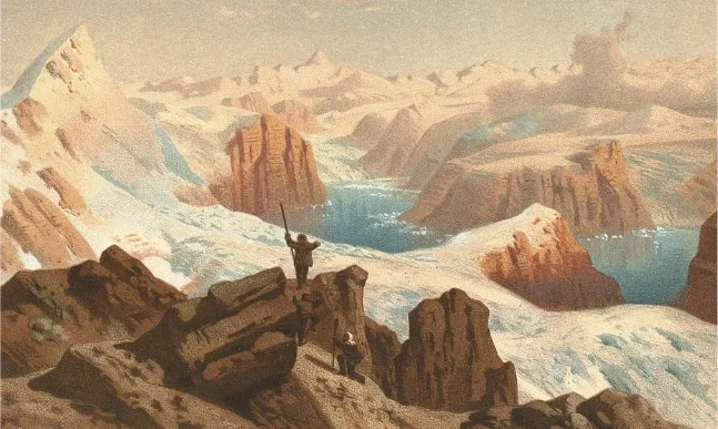
Petermann Peak
Petermann Peak is a dramatic 2,943-metre (9,656 ft) glaciated nunatak dominating western Fraenkel Land and the inner Kejser Franz Joseph Fjord in Northeast Greenland. Discovered in August 1870 by Julius Payer and named after German cartographer August Petermann, the mountain was long believed to be the highest summit in all of Greenland until the Watkins Range was surveyed. On August 15, 1929, Scottish polar geologist James Wordie led the Cambridge Expedition to its maiden first ascent via the Gregory Glacier. Standing within the Northeast Greenland National Park, Petermann Peak is an iconic monument of high-latitude Arctic mountaineering.
Documented Expeditions on this Route (1)
Verified historical summits, siege campaigns, and pioneer attempts recorded on Southwest Ridge & Gregory Glacier Route of Petermann Peak.
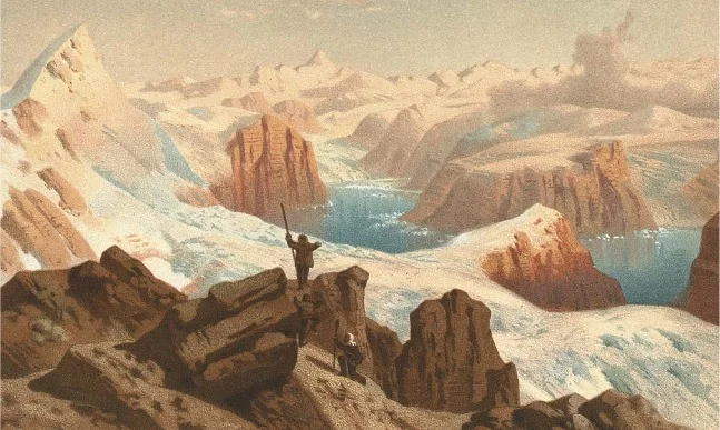
1929 James Wordie Cambridge East Greenland Expedition First Ascent of Petermann Peak
On August 15, 1929, Scottish polar geologist James Wordie and his Cambridge University team completed the historic maiden first ascent of Petermann Peak (2,943 m) in Northeast Greenland. Long presumed to be the highest mountain on the island, the nunatak was conquered via the heavily crevassed Gregory Glacier and a rugged mixed ridge in pristine Arctic weather.
Archival Chronicles & Stories on this Route (1)
In-depth longform historical narratives, harrowing survival accounts, and firsthand alpine journals on Southwest Ridge & Gregory Glacier Route of Petermann Peak.
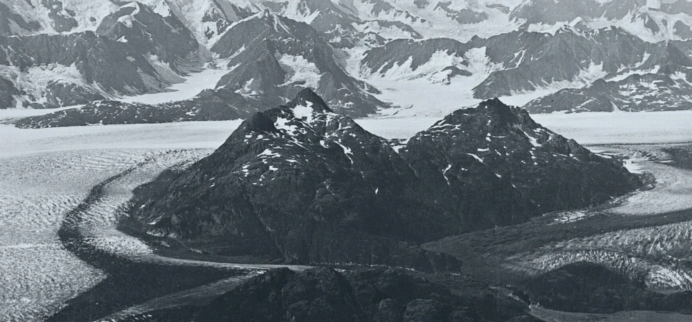
Crown of the Fjords: The 1929 First Ascent of Petermann Peak
Shackleton veteran James Wordie leads the Cambridge Expedition through Greenland's labyrinthine fjords to conquer Petermann Peak.
Documented Sources & Archival Citations
- Cambridge East Greenland Expedition, 1929: Ascent of Petermann Peak(The Geographical Journal / J.M. Wordie)
Supporting claim: Original route survey and expedition chronicle
Accessed/Documented: 1930