Gunnbjørn Fjeld
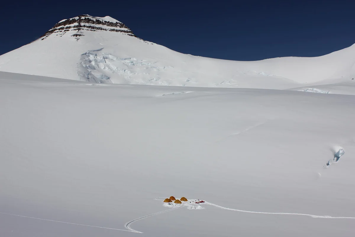
Gunnbjørn Fjeld is the highest mountain in Greenland and the highest peak north of the Arctic Circle at 3,694 metres (12,119 ft). Rising as an enormous basaltic nunatak above the glaciated plateau of the Watkins Range in East Greenland, it was first sighted from the air in 1930 by Gino Watkins and named after the 9th-century Norse explorer Gunnbjørn Ulfsson.
Mountain Safety & Conditions Disclaimer: High-altitude climbing, glacial travel, and technical ascents entail severe objective risks including avalanches, serac collapses, rapid weather collapse, and altitude illness. Historical route descriptions and summit claims on Mountanity reflect documented archival sources and must not be used as live operational safety assessments. Local regulations, permits, and physical glacial topography change continuously.
Peer Review: Senior Editorial Board & Historical Reviewers • Editorial Standards
Geographical Setting & Topography
Watkins Range, King Christian IX Land, East Greenland.
Historic First Ascent
Date: August 16, 1935
Ascent Team: Lawrence Wager, Ebbe Munck, Jack Longland, and Patrick Courtauld
Key Statistics & Topographic Figures
- Official Elevation
- 3,694 metres (12,119 ft)
- Prominence
- 3,694 metres (Ultra-Prominent)
- First Ascent
- August 16, 1935
- Mountain Range
- Watkins Range, East Greenland
- Continental Rank
- Highest peak in Greenland & the Arctic
Archival Primary Source Quotations
“Gunnbjørn Fjeld rose like a dark titan out of the white ice sheet, an uncontested monarch of the High Arctic.”
Defined Alpine Terminology & Concepts
- Basaltic Nunatak
- A volcanic basalt rock summit protruding through a continental ice sheet, characteristic of Gunnbjørn Fjeld.
- Arctic Midnight Sun
- Continuous 24-hour daylight occurring during polar summer, allowing round-the-clock mountaineering on glacier routes.
Gunnbjørn Fjeld Mountain Weather Forecast
Detailed 14-Day Summit Window & Weather Timeline
Explore day-by-day summit push safety windows, wind shear analysis, and extended multi-day forecasts for Gunnbjørn Fjeld.
Explore Gunnbjørn Fjeld (3,694 m) in Interactive 3D
Inspect steep glacial walls, hanging seracs, ridge approaches, and elevation relief with 360° rotation and terrain tilt in WebGL.
Documented Climbing Routes (1)
South Ridge Normal Route of Gunnbjørn Fjeld
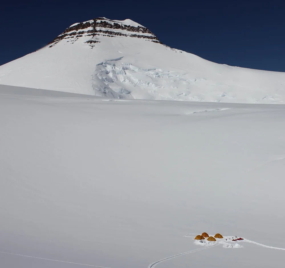
The South Ridge Normal Route on Gunnbjørn Fjeld ascends from the upper glaciated basin of the Watkins Range to follow a broad, windswept snow and ice ramp onto the narrow summit ridge. First climbed on August 16, 1935, by Lawrence Wager, Ebbe Munck, Jack Longland, and Patrick Courtauld, it is the classic line to the highest summit in the Arctic. Although technical difficulties are modest (Grade II alpine snow up to 35 degrees), climbers must manage severe Arctic cold, hidden crevasses, and utter remote wilderness where rescue by ski-equipped aircraft is weather-dependent.
Historical Expeditions (3)
1930–1931 Augustine Courtauld Five-Month Solitary Winter Vigil at Ice Cap Station
From December 6, 1930, to May 5, 1931, British explorer Augustine Courtauld spent five months completely alone manning Ice Cap Station at 2,620 metres on the Greenland ice sheet. Buried beneath severe snowdrifts for six weeks in total darkness when his entrance collapsed, Courtauld maintained precise weather observations until rescued by Gino Watkins.
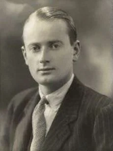
1930–1931 British Arctic Air Route Expedition (BAARE) Discovery of the Watkins Range
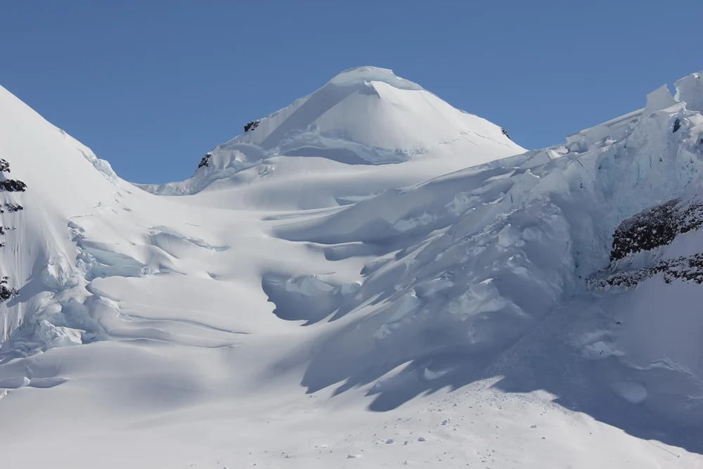
Led by 23-year-old Gino Watkins, the 1930–1931 British Arctic Air Route Expedition conducted the definitive scientific exploration of East Greenland. Using de Havilland Gipsy Moth aircraft and dog sleds, Watkins discovered the Watkins Range, discovered Gunnbjørn Fjeld (3,694 m), mapped the Schweizerland Alps, and surveyed potential transatlantic air corridors.
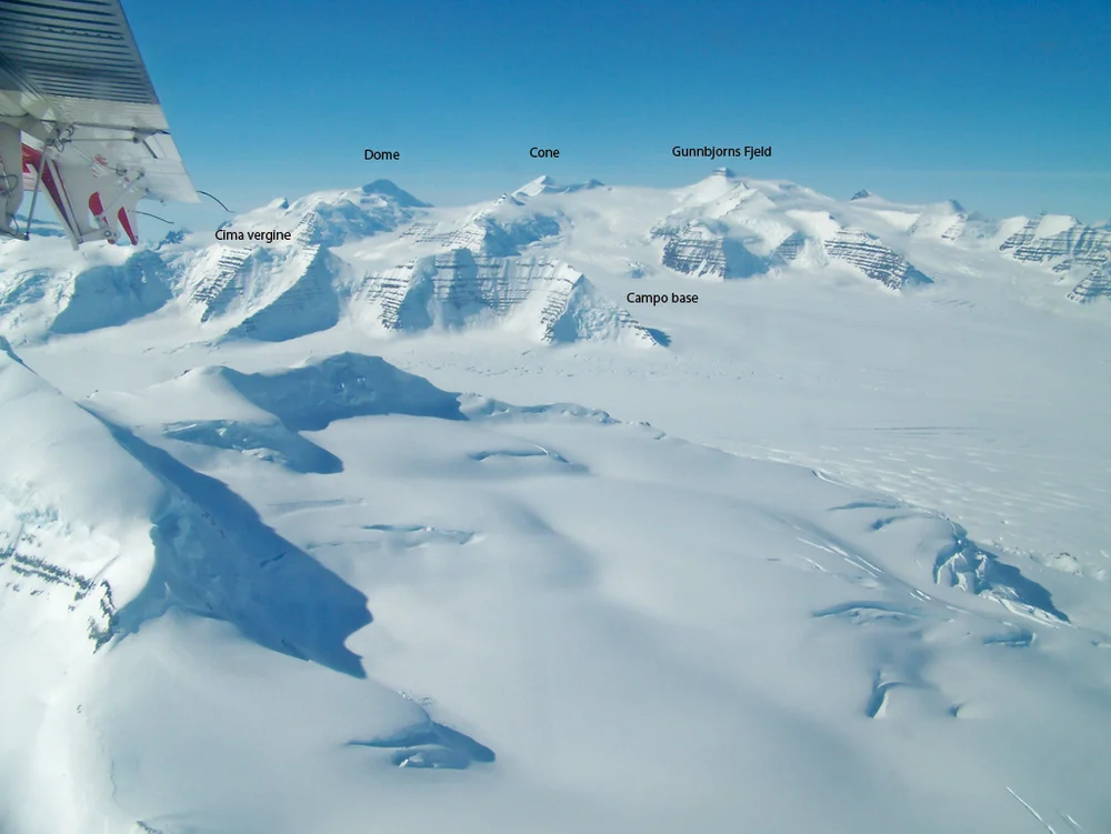
1935 Lawrence Wager & Ebbe Munck Anglo-Danish Expedition Historic First Ascent of Gunnbjørn Fjeld
On August 16, 1935, a joint Anglo-Danish party led by Lawrence Wager and Ebbe Munck achieved the historic maiden first ascent of Gunnbjørn Fjeld (3,694 m), the highest peak north of the Arctic Circle. Climbing via the South Ridge snowfields from the Watkins glacier, Wager, Munck, Jack Longland, and Patrick Courtauld conquered the roof of the Arctic.
Summit Chronicles & Stories (3)
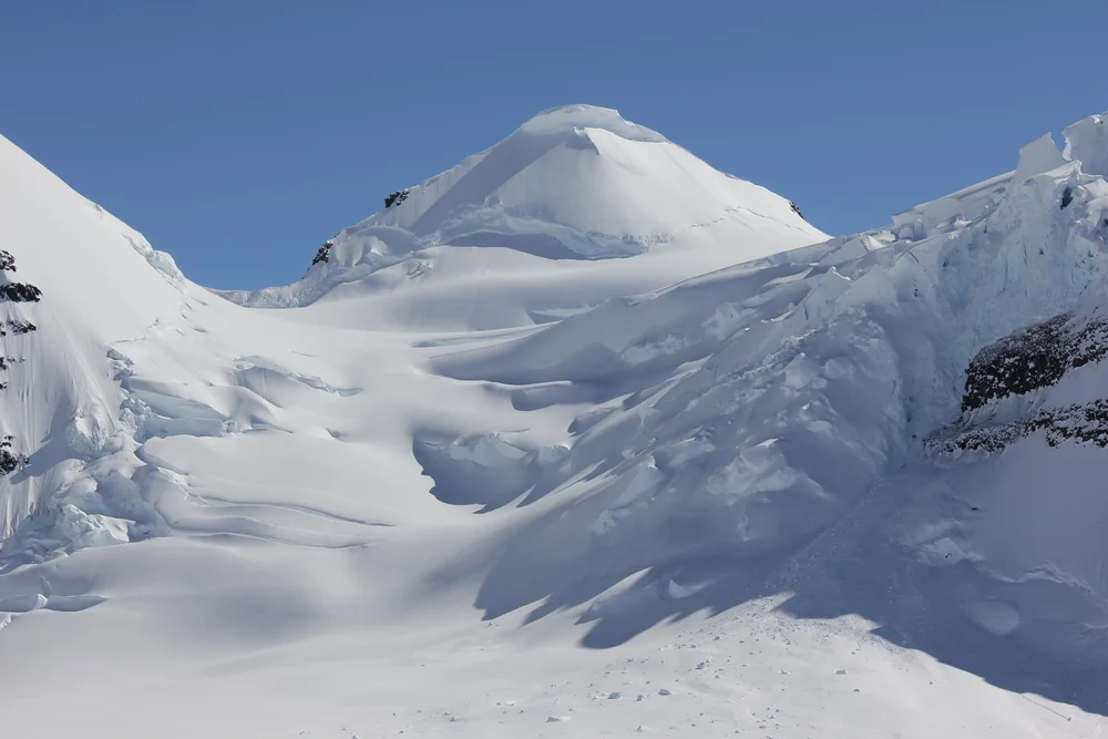
Buried Alive in the Ice: Augustine Courtauld's Five-Month Solitary Vigil
Trapped in darkness for five months beneath the Greenland Ice Sheet at -50°C, Augustine Courtauld survives one of the most harrowing solitary vigils in polar history.
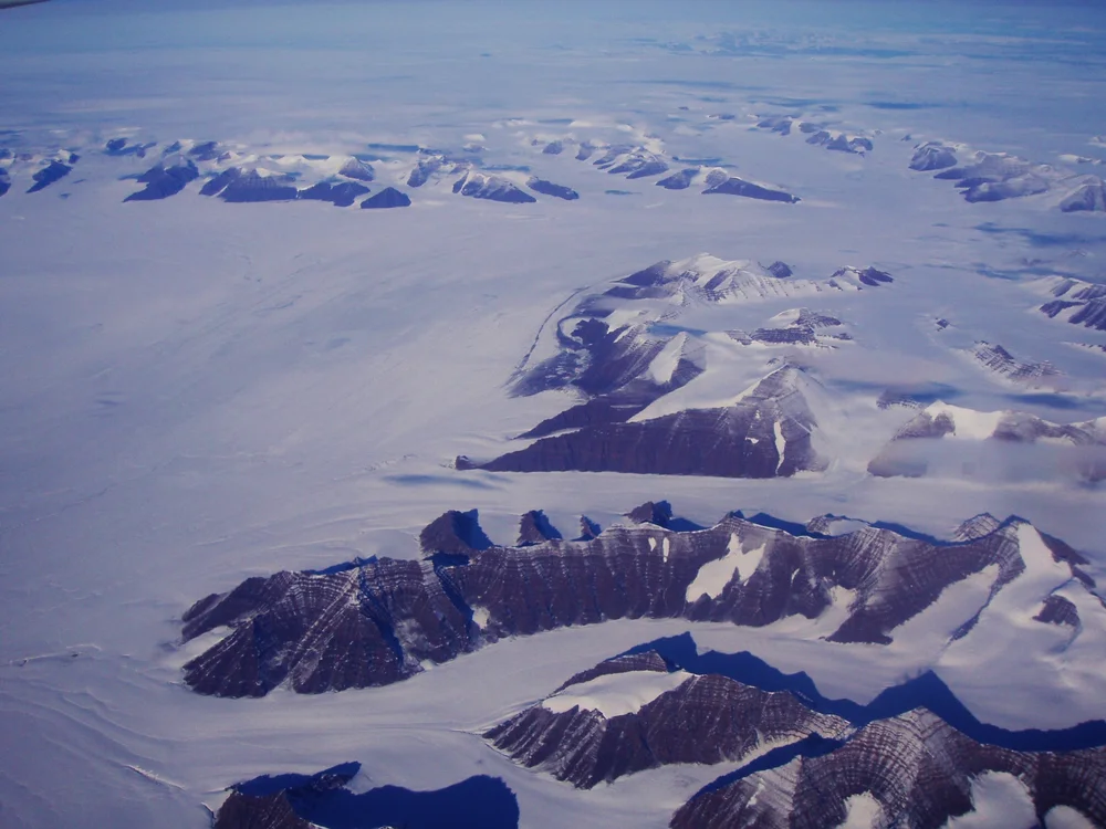
Wings Over the Ice Cap: The 1930 Watkins BAARE Expedition
Gino Watkins and his band of young British explorers take Gipsy Moth biplanes and dog sleds into East Greenland, discovering the Arctic's highest summits.
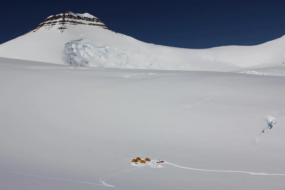
Roof of the Arctic: The 1935 Maiden First Ascent of Gunnbjørn Fjeld
Lawrence Wager and Ebbe Munck lead an Anglo-Danish team into the Watkins Range to stand atop Gunnbjørn Fjeld (3,694 m), the highest peak in the Arctic.
Frequently Asked Questions: Gunnbjørn Fjeld
What is Gunnbjørn Fjeld and how high is it?
Gunnbjørn Fjeld is the highest mountain in Greenland and the highest summit in the Arctic at 3,694 metres (12,119 ft), located in the Watkins Range.
Who made the first ascent of Gunnbjørn Fjeld?
Lawrence Wager, Ebbe Munck, Jack Longland, and Patrick Courtauld completed the maiden first ascent on August 16, 1935, during an Anglo-Danish expedition.
What are the main climbing challenges on Gunnbjørn Fjeld?
While technical difficulties are moderate, climbers face extreme polar cold, hurricane-force Piteraq blizzards, deep crevasses, and utter Arctic isolation.
Documented Sources & Archival Citations
- The Anglo-Danish Expedition to East Greenland in 1935(The Geographical Journal)
Supporting claim: First ascent documentation of Gunnbjørn Fjeld
Accessed/Documented: 1936