Wings Over the Ice Cap: The 1930 Watkins BAARE Expedition
Gino Watkins and his band of young British explorers take Gipsy Moth biplanes and dog sleds into East Greenland, discovering the Arctic's highest summits.
Mountain Safety & Conditions Disclaimer: High-altitude climbing, glacial travel, and technical ascents entail severe objective risks including avalanches, serac collapses, rapid weather collapse, and altitude illness. Historical route descriptions and summit claims on Mountanity reflect documented archival sources and must not be used as live operational safety assessments. Local regulations, permits, and physical glacial topography change continuously.
Peer Review: Senior Editorial Board & Historical Reviewers • Editorial Standards
Wings Over the Ice Cap: The 1930 Watkins BAARE Expedition
The Vision of a 23-Year-Old Leader
In 1930, commercial aviation stood upon the threshold of the transatlantic era. Yet flying directly between London and New York in propeller-driven aircraft was severely restricted by fuel payload constraints and relentless North Atlantic headwinds. A northern route—hopping across the Faroe Islands, Iceland, Greenland, and Baffin Island—offered a viable alternative, provided the meteorology and topography of the Greenland ice sheet could be surveyed.
The man who proposed to map this route was Henry George ‘Gino’ Watkins, an energetic, charismatic 23-year-old Cambridge undergraduate. Despite his youth, Watkins had already led two successful expeditions to Edgeøya and Labrador. Gifted with boundless optimism, effortless authority, and an uncanny ability to inspire loyalty, Watkins assembled a team of thirteen gifted young Britons—including surveyor Augustine Courtauld, geologist Lawrence Wager, and ornithologist Spencer Chapman.
Supported by the Royal Geographical Society and the British Air Ministry, Watkins chartered the veteran sealing ship Quest (the vessel on which Shackleton had died in 1922). Aboard were fifty-five West Greenland sledging dogs, two de Havilland Gipsy Moth biplanes equipped with skis and floats, and enough supplies for a fifteen-month polar campaign.
Air and Dog Sled Exploration
In July 1930, the Quest broke through coastal pack ice to establish Base Camp at Sermilik Fjord, near Ammassalik in East Greenland. Unlike traditional European explorers who imposed military discipline and rigid gear, Watkins embraced the survival techniques of the local Inuit. He became an expert seal hunter, mastered the rolling of light skin kayaks in icy waters, and lived alongside his sled dogs.
Watkins was among the first expedition leaders to integrate aviation with ground sledging. Flight Lieutenants D’Aeth and Cozens assembled the two Gipsy Moth biplanes on the fjord ice. Flying deep into King Christian IX Land across vast expanses of white glaciers, Watkins surveyed terrain never before seen by human eyes.
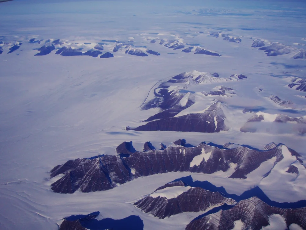
On one flight in late 1930, flying north toward the 69th parallel, Watkins gazed out the open cockpit into the interior of East Greenland. Protruding through the inland ice sheet rose a colossal, uncharted chain of jagged black nunataks, their dark basalt cliffs contrasting against the gleaming snow. Watkins had discovered the highest mountain range in the Arctic—officially designated the Watkins Range—crowned by an immense pyramid that would later be named Gunnbjørn Fjeld (3,694 m).
Enduring Legacy
While Watkins and his pilots surveyed from above, Lawrence Wager conducted painstaking geological expeditions along the rocky coastlines, discovering the world-famous Skaergaard magma intrusion. Inland, team members crossed the entire Greenland ice sheet on dog sleds, enduring brutal Arctic storms.
Watkins’ brilliant campaign demonstrated that human tenacity and modern technology could master the harshest environments on Earth. Though Watkins would lose his life two years later hunting in a kayak at age 25, his British Arctic Air Route Expedition stands as one of the golden achievements of 20th-century exploration.
Key Statistics & Topographic Figures
- Category
- Polar Pioneers
Archival Subject
- Reading Time
- 16 min read
Narrative Length
- Key Mountain
- gunnbjorn-fjeld, mount-forel
Objective
- Ascent Route
- gunnbjorn-south-ridge, mount-forel-northeast-ridge
Topography
- Verification
- Editorially Verified
Archival Standard
Archival Primary Source Quotations
“In the mountains, truth is etched in ice and granite; every step requires unwavering respect for the heights.”
Defined Alpine Terminology & Concepts
- Summit Push
- The final continuous climbing effort from the highest established camp to the mountain apex and back.
- Death Zone Chronicle
- A verified, research-backed historical narrative documenting the human, technical, and environmental realities of an alpine expedition.
Frequently Asked Questions: Wings Over the Ice Cap: The 1930 Watkins BAARE Expedition
What is the core chronicle and subject of "Wings Over the Ice Cap: The 1930 Watkins BAARE Expedition"?
Gino Watkins and his band of young British explorers take Gipsy Moth biplanes and dog sleds into East Greenland, discovering the Arctic's highest summits.
Which mountain peaks and routes are featured in "Wings Over the Ice Cap: The 1930 Watkins BAARE Expedition"?
This narrative documents climbs on gunnbjorn-fjeld, mount-forel along the gunnbjorn-south-ridge, mount-forel-northeast-ridge in Greenland.
Which documented expedition is chronicled in this story?
This historical chronicle captures the events of the 1930-watkins-baare-greenland-exploration, verified through contemporary journals and archival records.
Who authored and researched this archival chronicle?
Authored and researched by Mountainity Historical Research Desk, drawing on primary eyewitness testimonies, alpine club registries, and verified summit logs.
What makes this high-altitude chronicle historically significant?
Categorized under "Polar Pioneers", this chronicle preserves critical lessons in alpine leadership, survival, tactical speed, and human endurance in the death zone.
Related Mountains

Gunnbjørn Fjeld
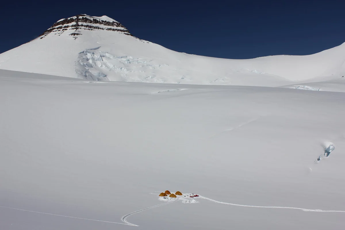
Gunnbjørn Fjeld is the highest mountain in Greenland and the highest peak north of the Arctic Circle at 3,694 metres (12,119 ft). Rising as an enormous basaltic nunatak above the glaciated plateau of the Watkins Range in East Greenland, it was first sighted from the air in 1930 by Gino Watkins and named after the 9th-century Norse explorer Gunnbjørn Ulfsson. The maiden first ascent was achieved on August 16, 1935, by Lawrence Wager, Ebbe Munck, Jack Longland, and Patrick Courtauld during an Anglo-Danish expedition. Climbing Gunnbjørn Fjeld involves moderate alpine glacier ascents, but requires complete self-reliance against extreme polar gales, severe windchill, and isolated Arctic conditions.
Mount Forel
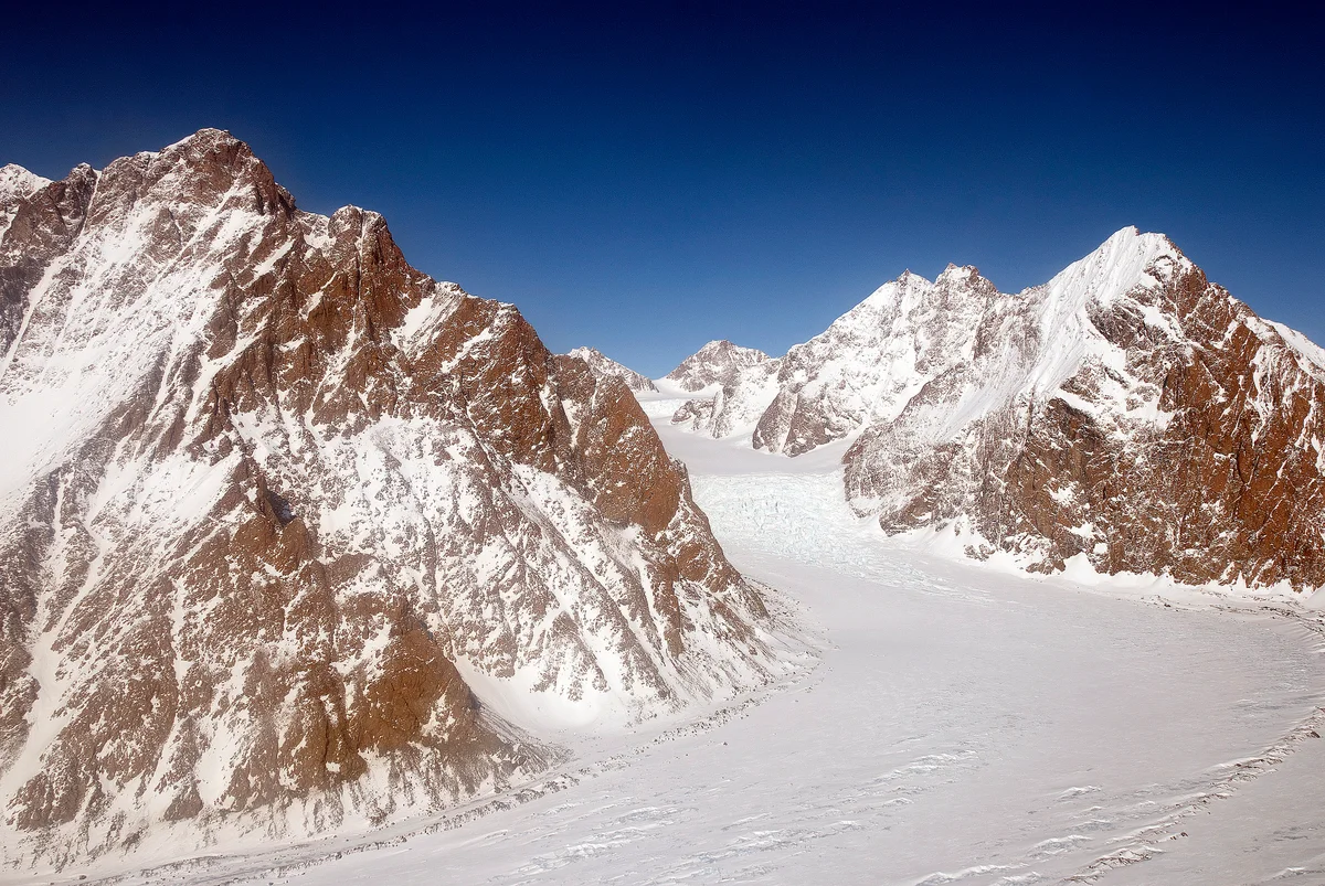
Mount Forel is a magnificent glaciated dome summit standing at 3,383 metres (11,099 ft) in the Schweizerland Alps of East Greenland, just north of the Arctic Circle. It is the highest mountain in Greenland outside the Watkins Range. Named in 1912 by Swiss explorer Alfred de Quervain in honor of limnologist François-Alphonse Forel, the mountain was famously explored by Gino Watkins and Alfred Stephenson in 1931, before being conquered on its first ascent by André Roch's Swiss expedition in 1938. The peak is renowned for its perpetual summit ice dome and sweeping views across the Sermilik fjord and coastal glacier systems.
Documented Sources & Archival Citations
- The British Arctic Air Route Expedition(H. G. Watkins / The Geographical Journal)
Supporting claim: Official expedition narrative
Accessed/Documented: 1932 - Northern Lights(F. Spencer Chapman / Chatto & Windus)
Supporting claim: Eyewitness account of BAARE discoveries
Accessed/Documented: 1932