Mount Forel
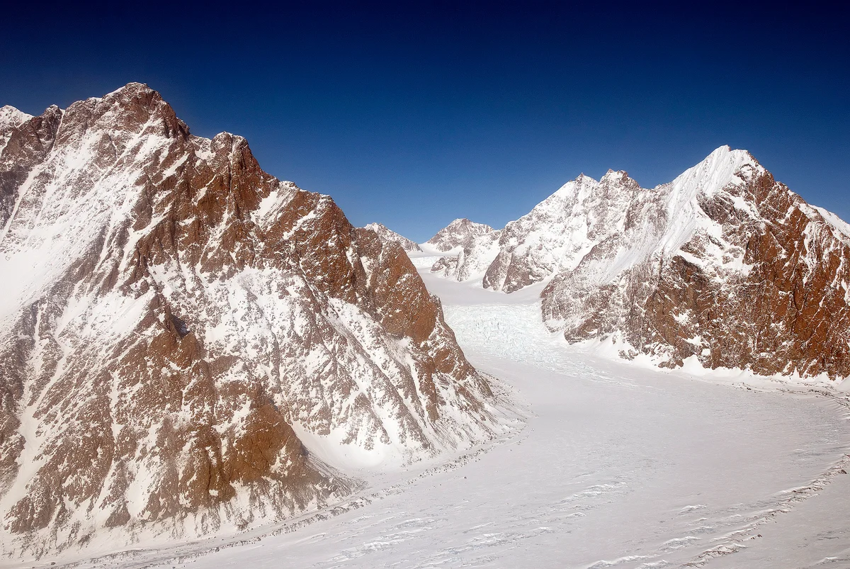
Mount Forel is a magnificent glaciated dome summit standing at 3,383 metres (11,099 ft) in the Schweizerland Alps of East Greenland, just north of the Arctic Circle. It is the highest mountain in Greenland outside the Watkins Range.
Mountain Safety & Conditions Disclaimer: High-altitude climbing, glacial travel, and technical ascents entail severe objective risks including avalanches, serac collapses, rapid weather collapse, and altitude illness. Historical route descriptions and summit claims on Mountanity reflect documented archival sources and must not be used as live operational safety assessments. Local regulations, permits, and physical glacial topography change continuously.
Peer Review: Senior Editorial Board & Historical Reviewers • Editorial Standards
Geographical Setting & Topography
Schweizerland Alps, Sermersooq Municipality, East Greenland.
Historic First Ascent
Date: August 10, 1938
Ascent Team: André Roch, Ernst Hundertpfund, and team (Akademischer Alpen-Club Zürich)
Key Statistics & Topographic Figures
- Official Elevation
- 3,383 metres (11,099 ft)
- Prominence
- 1,581 metres
- First Ascent
- August 10, 1938
- Mountain Range
- Schweizerland Alps, Sermersooq
- Summit Feature
- Perpetual Crystalline Ice Dome
Archival Primary Source Quotations
“Mount Forel was an alpine vision of perfect symmetry, its gleaming ice dome dominating the horizon above the fjords.”
Defined Alpine Terminology & Concepts
- Ice Dome Summit
- A smooth, rounded cap of perennial hard ice formed on high Arctic summits where fierce winds scour loose powder snow.
- Schweizerland Alps
- A rugged alpine mountain cordillera north of Sermilik Fjord, celebrated for its granite spires and outlet glaciers.
Mount Forel Mountain Weather Forecast
Detailed 14-Day Summit Window & Weather Timeline
Explore day-by-day summit push safety windows, wind shear analysis, and extended multi-day forecasts for Mount Forel.
Explore Mount Forel (3,383 m) in Interactive 3D
Inspect steep glacial walls, hanging seracs, ridge approaches, and elevation relief with 360° rotation and terrain tilt in WebGL.
Documented Climbing Routes (1)
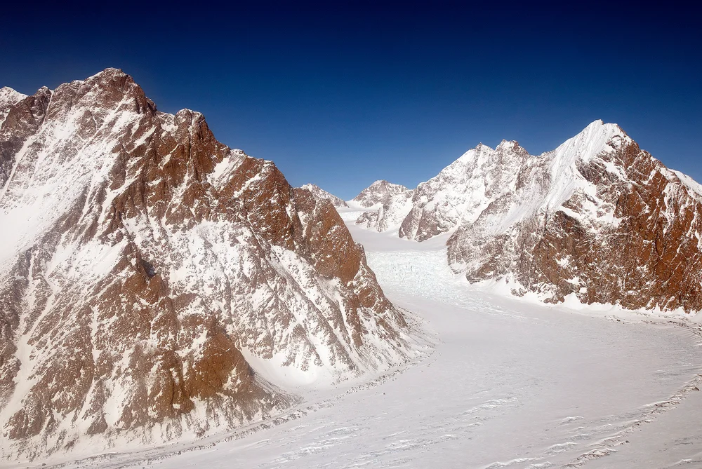
Northeast Ridge & Summit Ice Dome of Mount Forel
The Northeast Ridge of Mount Forel ascends glaciated slopes from the Schweizerland plateau before tackling the steep, crevassed approach to the mountain's prominent summit ice dome. First reconnoitred by Gino Watkins and Alfred Stephenson in 1931 and climbed to the apex by André Roch's Swiss expedition in 1938, this route combines alpine glacier route-finding with 45-degree ice climbing over the final rim to reach the top. Climbers face ferocious coastal Greenland storms and complex crevasse fields.
Historical Expeditions (2)
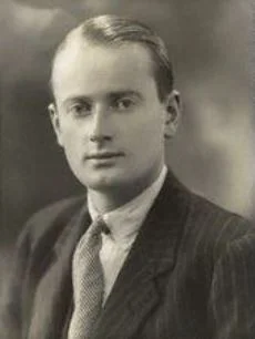
1930–1931 British Arctic Air Route Expedition (BAARE) Discovery of the Watkins Range
Led by 23-year-old Gino Watkins, the 1930–1931 British Arctic Air Route Expedition conducted the definitive scientific exploration of East Greenland. Using de Havilland Gipsy Moth aircraft and dog sleds, Watkins discovered the Watkins Range, discovered Gunnbjørn Fjeld (3,694 m), mapped the Schweizerland Alps, and surveyed potential transatlantic air corridors.
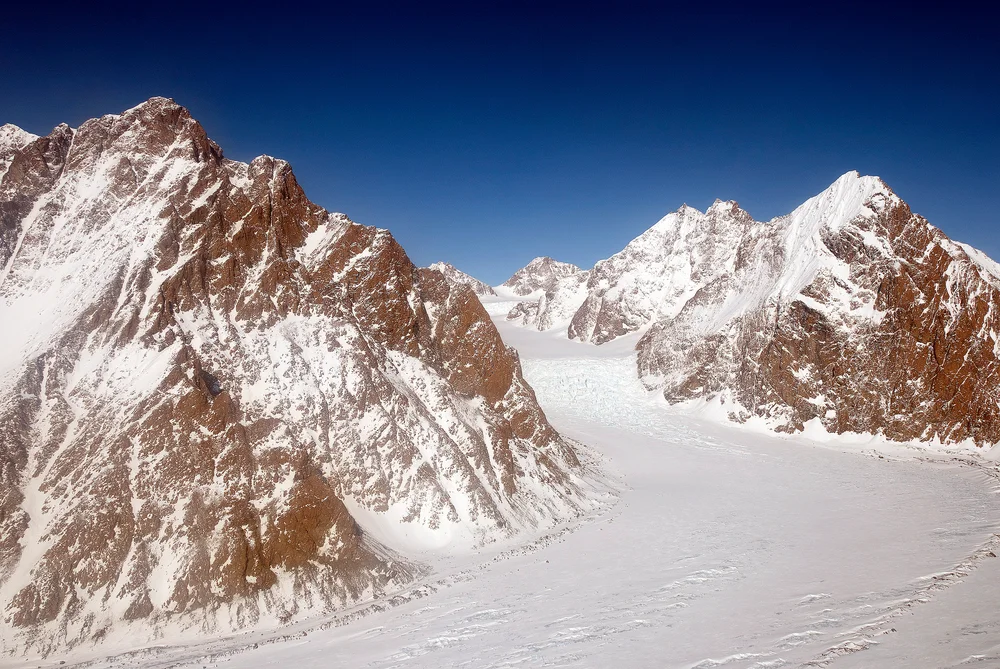
1931 Gino Watkins & Alfred Stephenson Schweizerland Alps Reconnaissance & Mount Forel Attempt
In May 1931, British Arctic explorer Gino Watkins and chief surveyor Alfred Stephenson ventured into the unexplored Schweizerland Alps to attempt Mount Forel (3,383 m). Navigating steep outlet glaciers and granite walls, the pair climbed to within 130 metres of the summit ice dome before impassable crevasses and soft snow forced a prudent retreat.
Summit Chronicles & Stories (2)
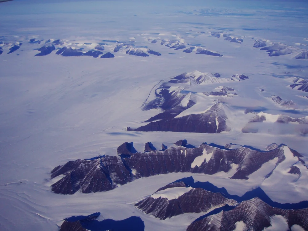
Wings Over the Ice Cap: The 1930 Watkins BAARE Expedition
Gino Watkins and his band of young British explorers take Gipsy Moth biplanes and dog sleds into East Greenland, discovering the Arctic's highest summits.
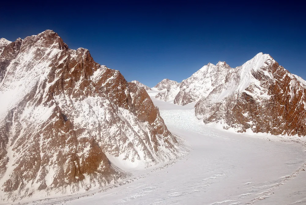
Storming the Schweizerland: The 1931 Mount Forel Attempt
Gino Watkins and Alfred Stephenson push high into the unexplored Schweizerland Alps to make the first alpine assault on Mount Forel.
Frequently Asked Questions: Mount Forel
What is Mount Forel and where is it located?
Mount Forel is a glaciated peak rising to 3,383 metres in the Schweizerland Alps of East Greenland, just north of the Arctic Circle.
Who made the first ascent of Mount Forel?
A Swiss expedition led by André Roch of the Akademischer Alpen-Club Zürich achieved the maiden first ascent on August 10, 1938.
Why is Mount Forel famous in Arctic mountaineering history?
It is the highest summit in Greenland outside the Watkins Range and was the object of Gino Watkins' daring 1931 alpine-style attempt.
Documented Sources & Archival Citations
- The Swiss Expedition to Greenland 1938(The Alpine Journal / André Roch)
Supporting claim: Official account of the first ascent of Mount Forel
Accessed/Documented: 1939