Northeast Ridge & Summit Ice Dome of Mount Forel
The Northeast Ridge of Mount Forel ascends glaciated slopes from the Schweizerland plateau before tackling the steep, crevassed approach to the mountain's prominent summit ice dome. First reconnoitred by Gino Watkins and Alfred Stephenson in 1931 and climbed to the apex by André Roch's Swiss expedition in 1938, this route combines alpine glacier route-finding with 45-degree ice climbing over the final rim to reach the top.
Ascent line, technical cruxes & camp topography profile for Northeast Ridge & Summit Ice Dome of Mount Forel
Mountain Safety & Conditions Disclaimer: High-altitude climbing, glacial travel, and technical ascents entail severe objective risks including avalanches, serac collapses, rapid weather collapse, and altitude illness. Historical route descriptions and summit claims on Mountanity reflect documented archival sources and must not be used as live operational safety assessments. Local regulations, permits, and physical glacial topography change continuously.
Peer Review: Senior Editorial Board & Historical Reviewers • Editorial Standards
Tactical & Camp Notes
The summit ice dome can require ice screws and pickets when wind-scoured into blue ice.
Identified Objective Hazards
- •Steep hard-ice slopes on the summit dome requiring confident crampon technique
- •Active serac fall and crevasses along the glacial approach valleys
- •Violent Piteraq winds sweeping down from the Greenland Inland Ice
Interactive Elevation Profile
Vertical profile, technical cruxes, and camp staging progression for Northeast Ridge & Summit Ice Dome of Mount Forel on Mount Forel.
Base camp established on the expansive glacier valley east of Mount Forel.
Camp-by-Camp Topography
Key staging altitudes, technical cruxes, and terrain transitions for Northeast Ridge & Summit Ice Dome of Mount Forel.
Schweizerland Glacier Base
Base camp established on the expansive glacier valley east of Mount Forel.
Col Camp
High camp positioned on the broad saddle below the Northeast Ridge ramparts.
Mount Forel Ice Dome Summit
The smooth, crystalline ice cap crowned at 3,383 metres overlooking the Sermilik fjord.
Topographic Location & Terrain Map
Cartographic datum, massif coordinates, and terrain context for Northeast Ridge & Summit Ice Dome of Mount Forel on Mount Forel.
Interactive Topographic Terrain Map
Click below to load live cartographic contours, glacier approaches, and geographic markers for Mount Forel (66°56′10″ N, 36°49′15″ W).
Key Statistics & Topographic Figures
- Route Type
- Glaciated Alpine Ridge & Ice Dome Climb
Topography
- Technical Difficulty
- Demanding Glacial Alpinism / Alpine Grade III
Grade III, 40-45° neve and ice, exposed summit dome
- Country / Region
- Greenland (Schweizerland Alps, Sermersooq)
Location
Archival Primary Source Quotations
“A mountain route is not merely a path of rock and ice; it is a test of human endurance, judgment, and humility.”
Defined Alpine Terminology & Concepts
- Crux
- The most difficult and technically demanding pitch or section of a climbing route.
- Normal Route (Voie Normale)
- The most frequently climbed, least technical, and historically standard path to a mountain summit.
Frequently Asked Questions: Northeast Ridge & Summit Ice Dome of Mount Forel
What is the climbing difficulty and grade of Northeast Ridge & Summit Ice Dome of Mount Forel?
Northeast Ridge & Summit Ice Dome of Mount Forel on mount-forel is graded as Demanding Glacial Alpinism / Alpine Grade III, with technical climbing requirements including Grade III, 40-45° neve and ice, exposed summit dome.
What are the primary hazards on the Northeast Ridge & Summit Ice Dome of Mount Forel?
Climbers on Northeast Ridge & Summit Ice Dome of Mount Forel must navigate severe objective hazards including Steep hard-ice slopes on the summit dome requiring confident crampon technique, Active serac fall and crevasses along the glacial approach valleys, Violent Piteraq winds sweeping down from the Greenland Inland Ice.
What camps are established on Northeast Ridge & Summit Ice Dome of Mount Forel?
Northeast Ridge & Summit Ice Dome of Mount Forel typically features 3 staging camps, progressing from Schweizerland Glacier Base (1750m) up toward the summit.
Mountain Ascended
Mount Forel
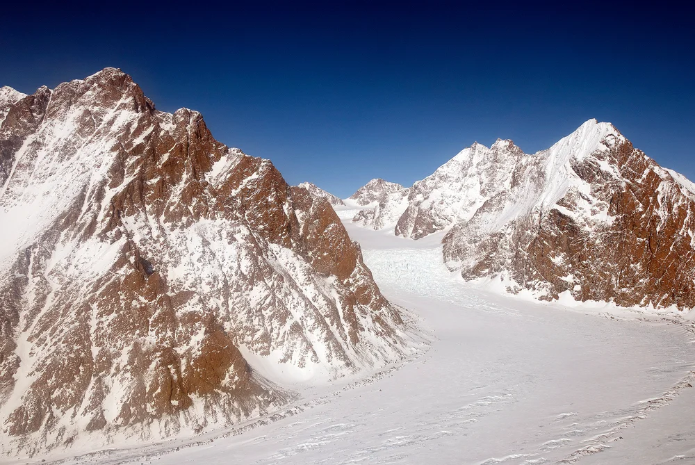
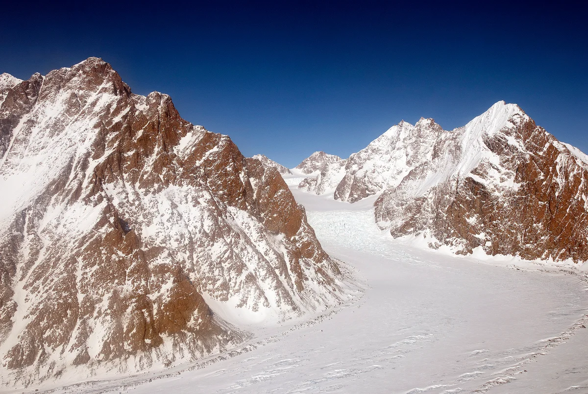
Mount Forel is a magnificent glaciated dome summit standing at 3,383 metres (11,099 ft) in the Schweizerland Alps of East Greenland, just north of the Arctic Circle. It is the highest mountain in Greenland outside the Watkins Range. Named in 1912 by Swiss explorer Alfred de Quervain in honor of limnologist François-Alphonse Forel, the mountain was famously explored by Gino Watkins and Alfred Stephenson in 1931, before being conquered on its first ascent by André Roch's Swiss expedition in 1938. The peak is renowned for its perpetual summit ice dome and sweeping views across the Sermilik fjord and coastal glacier systems.
Documented Expeditions on this Route (2)
Verified historical summits, siege campaigns, and pioneer attempts recorded on Northeast Ridge & Summit Ice Dome of Mount Forel.
1930–1931 British Arctic Air Route Expedition (BAARE) Discovery of the Watkins Range
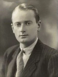
Led by 23-year-old Gino Watkins, the 1930–1931 British Arctic Air Route Expedition conducted the definitive scientific exploration of East Greenland. Using de Havilland Gipsy Moth aircraft and dog sleds, Watkins discovered the Watkins Range, discovered Gunnbjørn Fjeld (3,694 m), mapped the Schweizerland Alps, and surveyed potential transatlantic air corridors.
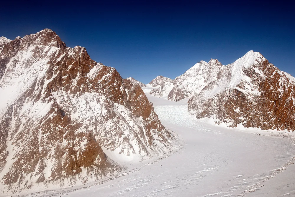
1931 Gino Watkins & Alfred Stephenson Schweizerland Alps Reconnaissance & Mount Forel Attempt
In May 1931, British Arctic explorer Gino Watkins and chief surveyor Alfred Stephenson ventured into the unexplored Schweizerland Alps to attempt Mount Forel (3,383 m). Navigating steep outlet glaciers and granite walls, the pair climbed to within 130 metres of the summit ice dome before impassable crevasses and soft snow forced a prudent retreat.
Archival Chronicles & Stories on this Route (2)
In-depth longform historical narratives, harrowing survival accounts, and firsthand alpine journals on Northeast Ridge & Summit Ice Dome of Mount Forel.
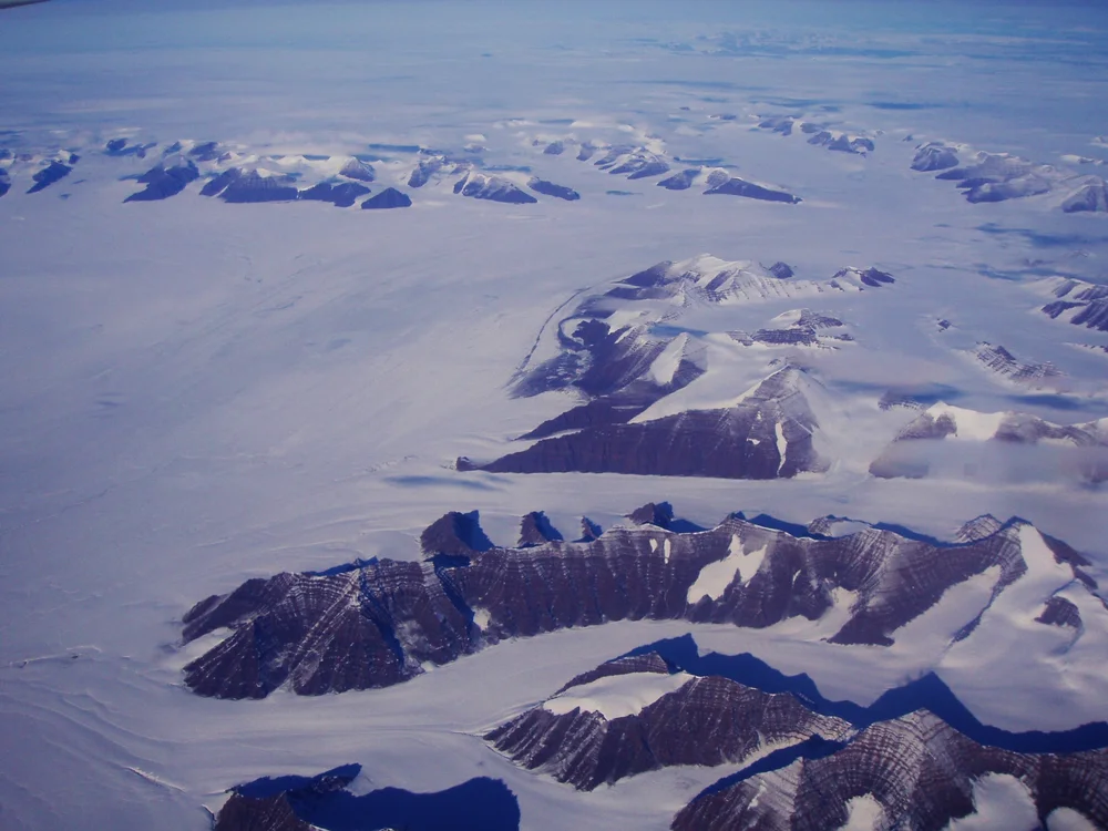
Wings Over the Ice Cap: The 1930 Watkins BAARE Expedition
Gino Watkins and his band of young British explorers take Gipsy Moth biplanes and dog sleds into East Greenland, discovering the Arctic's highest summits.
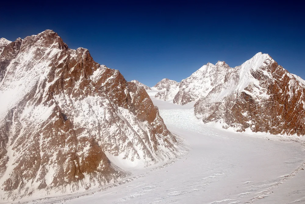
Storming the Schweizerland: The 1931 Mount Forel Attempt
Gino Watkins and Alfred Stephenson push high into the unexplored Schweizerland Alps to make the first alpine assault on Mount Forel.
Documented Sources & Archival Citations
- The Swiss Expedition to Greenland 1938(The Alpine Journal / André Roch)
Supporting claim: First ascent itinerary of Mount Forel Northeast Ridge
Accessed/Documented: 1939