Taming the White Cordillera: The 1932 First Ascent of Huascarán Sur
On July 20, 1932, a powerhouse German-Austrian team led by Philipp Borchers and Erwin Schneider surmounted the harrowing icefalls of the Garganta to achieve the first ascent of Huascarán Sur (6,768 m).
Mountain Safety & Conditions Disclaimer: High-altitude climbing, glacial travel, and technical ascents entail severe objective risks including avalanches, serac collapses, rapid weather collapse, and altitude illness. Historical route descriptions and summit claims on Mountanity reflect documented archival sources and must not be used as live operational safety assessments. Local regulations, permits, and physical glacial topography change continuously.
Peer Review: Senior Editorial Board & Historical Reviewers • Editorial Standards
Taming the White Cordillera: The 1932 First Ascent of Huascarán Sur
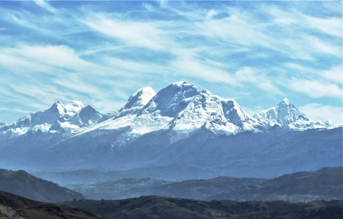
In the heart of Peru’s Ancash region, the twin glaciated summits of Nevado Huascarán dominate the tropical sky. While Annie Smith Peck had reached the lower northern peak in 1908, the true giant of the range—the southern summit of Huascarán Sur, soaring to 6,768 metres—remained unconquered, guarded by vertical ice walls, shattering serac avalanches, and the high, wind-blasted col known as the Garganta.
In June 1932, a formidable team organized by the German and Austrian Alpine Club (DÖAV) arrived in the Callejón de Huaylas. Led by veteran jurist and mountaineer Dr. Philipp Borchers, the expedition represented the finest alpine talent of Central Europe. Borchers had assembled an extraordinary ensemble: Austrian topographer and Himalayan altitude record-holder Erwin Schneider, brilliant alpine engineer Wilhelm Bernard, photographic physicist Hermann Hoerlin, cartographer Erwin Hein, and Franz Schmid, who only a year earlier had stunned the climbing world by claiming the first ascent of the Matterhorn North Face alongside his brother Toni.
Methodical Siege in the Callejón de Huaylas
Rather than relying on hasty dashes, Borchers instituted a disciplined, military-style siege adapted for extreme Andean conditions. Establishing base operations in the shadow of the mountain above the village of Musho, the expedition ferried heavy canvas tents, climbing gear, surveying theodolites, and food stores across the steep scrub slopes to a moraine base at 4,675 metres.
Above the moraine lay the lower icefall—a tumbling chaos of blue glacier seracs that cracked with thunderous reverberations in the midday tropical heat. Here, the engineering genius of Wilhelm Bernard proved indispensable. Bernard and Schneider spent days scouting stable passages through the crevasse maze, anchoring fixed hemp ropes, bridging bottomless chasms with aluminium ladders, and carving wide step staircases into steep ice headwalls.
By early July, the team had established Camp 1 at 5,300 metres on the western glacier plateau. From there, Schneider pushed the reconnaissance higher, threading through serac corridors threatened by falling ice blocks from Huascarán Norte to gain the high saddle between the peaks: the Garganta at 6,000 metres.
The Winds of the Garganta
On July 18, 1932, Borchers, Schneider, Bernard, Schmid, and Hoerlin climbed into the Garganta to pitch Camp 2. The col was a savage cauldron of elemental fury. At 6,000 metres, night temperatures plummeted to minus twenty-five degrees Celsius, while ferocious westerly gales howling off the Pacific battered the small canvas tents.
Debilitating hypoxia struck the climbers. Even simple tasks like melting glacial snow on kerosene stoves required colossal effort. Yet Schneider, whose lungs were conditioned by the high plateaus of Sikkim, kept morale high, brewing hot tea and preparing the party for the final assault.
Summit Day: July 20, 1932
At dawn on July 20, under a cloudless turquoise sky, the five climbers roped up into two teams. Leaving the Garganta, they traversed southeast toward the steep glaciated ramparts of Huascarán Sur.
The route confronted them with sustained 45-to-55-degree hard firn and bare water-ice. Schneider and Schmid shared the lead, chipping rhythmically with their heavy wooden-shafted ice axes to create secure footholds. Midway up the face, a gaping bergschrund blocked further progress. Navigating an airy, fragile snow bridge that trembled beneath their boots, Schneider stepped across the abyss and anchored the rope, allowing Borchers, Bernard, and Hoerlin to follow.
Above the bergschrund, the angle eased into undulating, wind-rippled snow slopes. Breathing in deep, desperate gasps of freezing air, taking three breaths for every single step, the party pressed upward. At 1:30 in the afternoon, the slope leveled off onto a vast, gleaming snow dome.
All five men stood together atop the summit of Huascarán Sur: 6,768 metres above the Pacific Ocean. They had conquered the highest mountain in Peru and the highest summit in the entire tropical zone of Planet Earth.
A Legacy of Discovery
Looking out from the summit, the climbers beheld a breath-taking panorama of virgin peaks: the needle spire of Alpamayo to the north, the sharp crest of Chopicalqui to the east, and the jagged horns of the Huandoy massif. Borchers unfurled the expedition flags, while Hermann Hoerlin took careful photometric readings of cosmic radiation.
The descent through the softening afternoon snow required iron discipline, but by nightfall, all five climbers were safely back in the Garganta. Borchers and Schneider did not rest on their laurels; over the following six weeks, the expedition went on to achieve first ascents of Chopicalqui, Artesonraju, and Huandoy, while Erwin Schneider produced the first accurate topographical map of the Cordillera Blanca.
The 1932 expedition remains one of the greatest collaborative achievements in Andean history—a landmark where world-class alpine skill, rigorous scientific inquiry, and visionary leadership combined to unlock the highest realm of the White Cordillera.
Key Statistics & Topographic Figures
- Category
- Andean Pioneers
Archival Subject
- Reading Time
- 16 min read
Narrative Length
- Key Mountain
- huascaran
Objective
- Ascent Route
- huascaran-garganta-normal-route
Topography
- Verification
- Editorially Verified
Archival Standard
Archival Primary Source Quotations
“In the mountains, truth is etched in ice and granite; every step requires unwavering respect for the heights.”
Defined Alpine Terminology & Concepts
- Summit Push
- The final continuous climbing effort from the highest established camp to the mountain apex and back.
- Death Zone Chronicle
- A verified, research-backed historical narrative documenting the human, technical, and environmental realities of an alpine expedition.
Frequently Asked Questions: Taming the White Cordillera: The 1932 First Ascent of Huascarán Sur
What is the core chronicle and subject of "Taming the White Cordillera: The 1932 First Ascent of Huascarán Sur"?
On July 20, 1932, a powerhouse German-Austrian team led by Philipp Borchers and Erwin Schneider surmounted the harrowing icefalls of the Garganta to achieve the first ascent of Huascarán Sur (6,768 m).
Which mountain peaks and routes are featured in "Taming the White Cordillera: The 1932 First Ascent of Huascarán Sur"?
This narrative documents climbs on huascaran along the huascaran-garganta-normal-route in Peru.
Which documented expedition is chronicled in this story?
This historical chronicle captures the events of the 1932-borchers-schneider-huascaran-sur-first-ascent, verified through contemporary journals and archival records.
Who authored and researched this archival chronicle?
Authored and researched by Mountainity Historical Research Desk, drawing on primary eyewitness testimonies, alpine club registries, and verified summit logs.
What makes this high-altitude chronicle historically significant?
Categorized under "Andean Pioneers", this chronicle preserves critical lessons in alpine leadership, survival, tactical speed, and human endurance in the death zone.
Related Mountains

Huascarán
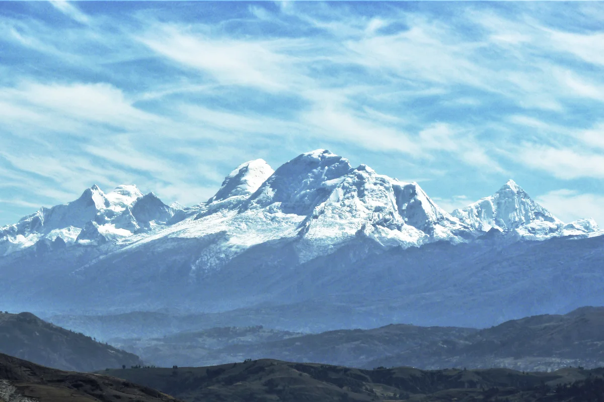
Huascarán is the highest mountain in Peru and the highest peak in the entire tropical zone of Earth, rising to 6,768 metres in the Cordillera Blanca. Its twin glaciated summits—Huascarán Sur (6,768 m) and Huascarán Norte (6,655 m)—tower over the Callejón de Huaylas with colossal icefalls and sheer vertical walls.
Documented Sources & Archival Citations
- Die Weiße Kordillere(Philipp Borchers / Verlag F. Bruckmann)
Supporting claim: Primary expedition narrative documenting the planning, route making, and summit push on Huascarán Sur
Accessed/Documented: 1935 - American Alpine Journal: The German-Austrian Andean Expedition(American Alpine Club)
Supporting claim: Detailed appraisal of the technical difficulties, high camps, and photogrammetric achievements
Accessed/Documented: 1933