Huascarán
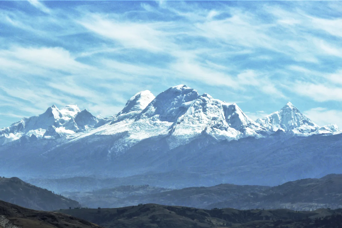
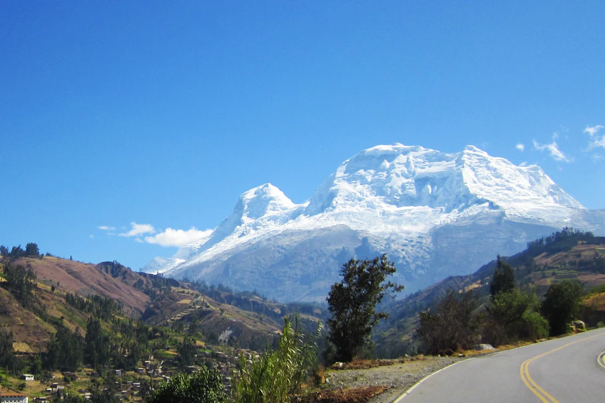
Huascarán is the highest mountain in Peru and the highest peak in the entire tropical zone of Earth, rising to 6,768 metres in the Cordillera Blanca. Its twin glaciated summits—Huascarán Sur (6,768 m) and Huascarán Norte (6,655 m)—tower over the Callejón de Huaylas with colossal icefalls and sheer vertical walls.

Mountain Safety & Conditions Disclaimer: High-altitude climbing, glacial travel, and technical ascents entail severe objective risks including avalanches, serac collapses, rapid weather collapse, and altitude illness. Historical route descriptions and summit claims on Mountanity reflect documented archival sources and must not be used as live operational safety assessments. Local regulations, permits, and physical glacial topography change continuously.
Peer Review: Senior Editorial Board & Historical Reviewers • Editorial Standards
Geographical Setting & Topography
Dominating the Ancash region above Huaraz, Huascarán is the centerpiece of Huascarán National Park, a UNESCO World Heritage site. Its high glaciated saddle, the Garganta at 6,000 metres, separates the twin peaks and serves as the strategic launching platform for summit pushes across crevassed ice slopes.
Historic First Ascent
Date: 1932-07-20
Ascent Team: Philipp Borchers, Wilhelm Bernard, Erwin Hein, Hermann Hoerlin, and Erwin Schneider
Key Statistics & Topographic Figures
- Highest Elevation (Huascarán Sur)
- 6,768 metres (22,205 feet)
- Secondary Elevation (Huascarán Norte)
- 6,655 metres (21,834 feet)
- Topographic Prominence
- 2,776 metres
- First Ascent Date
- July 20, 1932
- UNESCO Designation
- World Heritage Site (1985)
Archival Primary Source Quotations
“To live on Huascarán is to dwell in a kingdom of crystal and light, where the human soul is stripped bare against the infinite.”
Defined Alpine Terminology & Concepts
- Tropical Glacier
- A high-altitude glacier located between the Tropic of Cancer and Tropic of Capricorn, characterized by continuous year-round melting and accumulation cycles.
- Bergschrund
- A deep crevasse formed near the head of a glacier where moving ice pulls away from the stagnant ice and rock wall above.
Huascarán Mountain Weather Forecast
Meteorological Feed Unavailable
Unable to reach meteorological station endpoint. Please verify your connection or retry.
Loading condition...
Target Elevation: 6,768 mSafe summit ridge climbing requires gusts below 40 km/h.
Evaluating thermal loss...
Tracking glacial freezing boundary...
Assessing whiteout and cloud immersion hazards...
High-altitude snow glare requires Category 4 glacier glasses to prevent snow blindness.
Evaluating oxygen partial pressure...
Detailed 14-Day Summit Window & Weather Timeline
Explore day-by-day summit push safety windows, wind shear analysis, and extended multi-day forecasts for Huascarán.
Explore Huascarán (6,768 m) in Interactive 3D
Inspect steep glacial walls, hanging seracs, ridge approaches, and elevation relief with 360° rotation and terrain tilt in WebGL.
Documented Climbing Routes (1)
Huascarán Garganta Normal Route
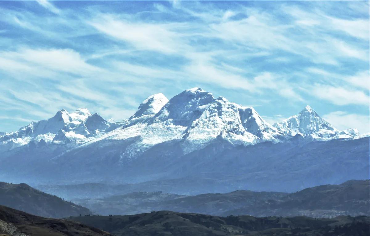
The Huascarán Normal Route via the Garganta is the classic high-altitude line ascending Peru's highest peak in the Cordillera Blanca. Pioneered in July 1932 by the German-Austrian expedition led by Philipp Borchers and Erwin Schneider, the route traverses the fractured glacier of the western flank to the 6,000-metre saddle between the twin summits. It demands rigorous acclimatization, crevasse rescue skills, and vigilance against objective avalanche and serac hazards.
Historical Expeditions (3)
1932 German-Austrian Huascarán Sur Historic First Ascent Expedition
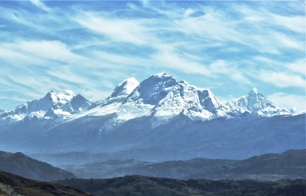
On July 20, 1932, the German-Austrian Alpine Club expedition led by Philipp Borchers and Erwin Schneider achieved the historic first ascent of Huascarán Sur (6,768 m), the highest peak in Peru. Navigating the treacherous Garganta col and western icefall, Borchers, Schneider, Wilhelm Bernard, Franz Schmid, and Hermann Hoerlin solved the supreme high-altitude challenge of the tropical Andes.
1977 Nicolas Jaeger Huascarán Sur Solo & 60-Day Scientific Survival Bivouac
In 1977 and 1978, French physician and extreme soloist Nicolas Jaeger pushed high-altitude human limits on Huascarán Sur, achieving a solo ascent and subsequently surviving sixty continuous days alone at 6,700 metres.
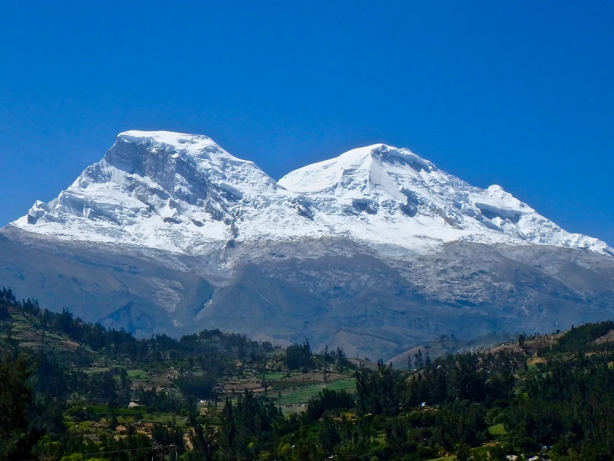
1979 Nicolas Jaeger 60-Day High-Altitude Solitary Survival on Huascarán
From July 27 to September 27, 1979, French physician and extreme solo alpinist Nicolas Jaeger lived alone for sixty consecutive days at 6,700 metres on the summit slopes of Huascarán Sur. Battling extreme hypoxia, sub-zero isolation, and violent Andean gales, Jaeger conducted groundbreaking physiological self-experimentation that redefined human acclimatization limits.
Summit Chronicles & Stories (3)
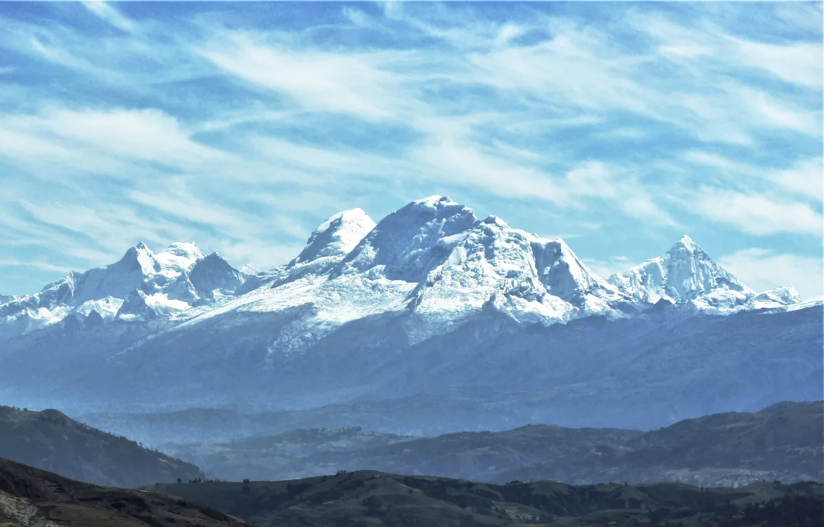
Taming the White Cordillera: The 1932 First Ascent of Huascarán Sur
On July 20, 1932, a powerhouse German-Austrian team led by Philipp Borchers and Erwin Schneider surmounted the harrowing icefalls of the Garganta to achieve the first ascent of Huascarán Sur (6,768 m).
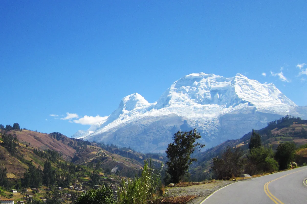
Sixty Days Above the Clouds: Nicolas Jaeger's Solitary Odyssey on Huascarán
Between 1977 and 1978, French physician and extreme soloist Nicolas Jaeger pioneered a solo route up Huascarán Sur and survived sixty consecutive days alone at 6,700 metres conducting ground-breaking hypoxia research.
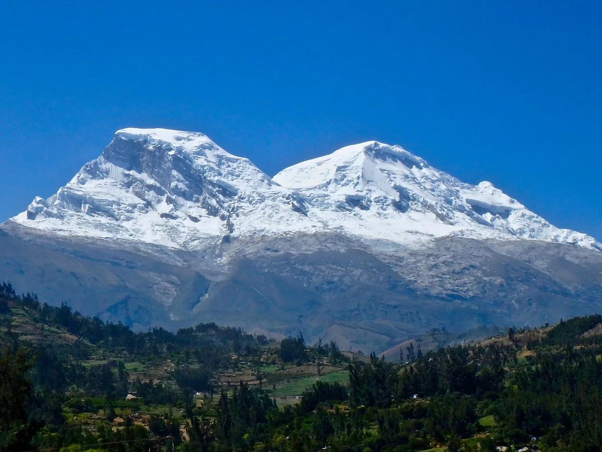
Carnets of the Solitary: Nicolas Jaeger's Sixty Days at 6,700 Metres
From July to September 1979, French doctor and extreme soloist Nicolas Jaeger lived alone for sixty days on the summit ice of Huascarán Sur, turning his body into a living laboratory.
Frequently Asked Questions: Huascarán
What is Nevado Huascarán and where is it located in Peru?
Nevado Huascarán is the highest mountain in Peru and the highest peak in the global tropics, rising to 6,768 metres in the Cordillera Blanca near Huaraz.
What are the twin summits of Nevado Huascarán?
The massif features two glaciated peaks: Huascarán Sur, the higher southern summit at 6,768 metres, and Huascarán Norte, rising to 6,655 metres.
Who made the first ascent of Huascarán Sur?
A joint German-Austrian expedition led by Philipp Borchers reached the summit of Huascarán Sur on July 20, 1932.
What is the Garganta on Huascarán?
The Garganta is a broad, heavily crevassed glacial col at 6,000 metres that separates the northern and southern summits, serving as high camp for ascents.
What historic solo achievement occurred on Huascarán in 1977 and 1978?
French doctor Nicolas Jaeger made a solo first ascent of the South Face in 1977 and survived sixty continuous days alone at 6,700 metres in 1978.
What natural disasters are historically associated with Huascarán?
Catastrophic earthquake-triggered debris avalanches from the north peak destroyed the village of Ranrahirca in 1962 and buried the city of Yungay in May 1970.
What national park surrounds Nevado Huascarán?
Huascarán National Park, established in 1975 and declared a UNESCO World Heritage Site in 1985 to protect the world's highest tropical mountain range.
What is the standard climbing route on Huascarán?
The Normal Route ascends from the village of Musho, passing the Refugio Huascarán and navigating the glaciated icefall into the Garganta col.
Documented Sources & Archival Citations
- American Alpine Journal: Huascarán Sur Solo and Survival (1978)(American Alpine Club)
Supporting claim: Documentation of high-altitude solo climbing and physiological research on Huascarán
Accessed/Documented: 2026 - Carnets de Solitude: 60 Jours Seul à 6,700 Mètres(Nicolas Jaeger / Éditions Denoël)
Supporting claim: Autobiographical account of the 60-day solo high-altitude stay on Huascarán Sur
Accessed/Documented: 2026