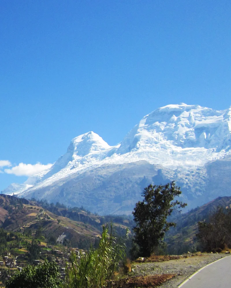
Nicolas Jaeger
Nicolas Jaeger was an exceptional French physician, high-altitude researcher, and extreme solo mountaineer. He achieved audacious solo ascents in the Alps and Andes, including the historic solo ascent of Huascarán Sur in 1977. He subsequently survived sixty continuous days alone at 6,700 metres conducting ground-breaking physiological research.
Mountain Safety & Conditions Disclaimer: High-altitude climbing, glacial travel, and technical ascents entail severe objective risks including avalanches, serac collapses, rapid weather collapse, and altitude illness. Historical route descriptions and summit claims on Mountanity reflect documented archival sources and must not be used as live operational safety assessments. Local regulations, permits, and physical glacial topography change continuously.
Peer Review: Senior Editorial Board & Historical Reviewers • Editorial Standards
Biographical Record & Archival Chronicle
Born on October 20, 1946, in Boulogne-Billancourt, France, Nicolas Jaeger was the son of noted French photographer Janine Niépce. Qualifying both as a medical doctor and as a Chamonix mountain guide, Jaeger dedicated his life to pushing the boundaries of extreme high-altitude physiology and solo alpinism. In the Mont Blanc massif, he achieved legendary solo linkups and first ascents, including the first solo ascent of the Bonatti Pillar on the Petit Dru in 1973. In 1977, Jaeger traveled to Peru's Cordillera Blanca, where he made a breathtaking solo first ascent of the direct South Face of Huascarán Sur (6,768 m). Driven by scientific curiosity regarding the human body's capacity to acclimatize to extreme hypoxia, Jaeger returned to Huascarán in 1978 and spent sixty consecutive days living entirely alone in a tiny tent near the summit at 6,700 metres, recording daily medical measurements of his own blood gases, heart rate, and psychological state—a feat chronicled in his classic book Carnets de Solitude. In October 1978, Jaeger summitted Mount Everest without bottled oxygen alongside Pierre Mazeaud and Jean Afanassieff. In April 1980, while attempting a daring solo first ascent of the colossal South Face of Lhotse Shar in the Himalayas, Jaeger disappeared near 8,200 metres, leaving behind a profound legacy of scientific courage and solitary devotion to the high mountains.
Notable Milestones & Ascents
- Solo first ascent of the direct South Face of Huascarán Sur (6,768 m) in 1977
- Completed an unprecedented 60-day solitary physiological survival stay at 6,700 metres on Huascarán in 1978
- Summit of Mount Everest (8,848 m) in October 1978 with Pierre Mazeaud and Jean Afanassieff
- First solo ascent of the Bonatti Pillar on the Aiguille du Dru in 1973
- Author of the classic high-altitude survival memoir Carnets de Solitude (1979)
Key Statistics & Topographic Figures
- Lifespan
- October 20, 1946 – April 1980 (Age 33)
- Huascarán Solo Survival
- 60 continuous days alone at 6,700 metres
- Huascarán Sur Solo Face
- First solo ascent of South Face (1977)
- Everest Summit
- October 15, 1978 (Without bottled oxygen)
- Medical Memoir
- Carnets de Solitude (1979)
Archival Primary Source Quotations
“Solitude at 6,700 metres is not an absence of life, but an intensification of being, where every heartbeat is a conscious defiance of the void.”
Defined Alpine Terminology & Concepts
- Chronic Hypoxia
- Prolonged exposure to severely reduced atmospheric oxygen pressure, causing profound cardiovascular, pulmonary, and neurological adaptations.
- Solo Alpinism
- Climbing major mountain peaks alone, relying entirely upon self-belay or unroped movement without physical or psychological assistance from partners.
Frequently Asked Questions: Nicolas Jaeger
Who was Nicolas Jaeger?
Nicolas Jaeger was a pioneering French physician, hypoxia researcher, and extreme solo mountaineer who achieved historic climbs in the Alps and Andes.
What was Nicolas Jaeger's famous 60-day experiment on Huascarán?
In 1978, Jaeger lived completely alone for sixty consecutive days at 6,700 metres on Huascarán Sur, conducting rigorous physiological self-experiments.
What solo first ascent did Nicolas Jaeger achieve in Peru in 1977?
He made an audacious solo first ascent of the steep South Face of Huascarán Sur (6,768 m) in pure alpine style without ropes or support.
Did Nicolas Jaeger climb Mount Everest?
Yes, on October 15, 1978, Jaeger summitted Mount Everest without bottled oxygen alongside Pierre Mazeaud and Jean Afanassieff.
What book did Nicolas Jaeger author about his high-altitude survival?
He wrote Carnets de Solitude (Notebooks of Solitude), a classic high-altitude survival memoir published in 1979 documenting his stay on Huascarán.
What did Nicolas Jaeger's medical research discover about extreme hypoxia?
He documented how the human body undergoes profound acclimatization adaptations over months at 6,700m, while managing severe weight loss and mental fatigue.
What early solo ascents did Nicolas Jaeger make in the Mont Blanc massif?
He completed the first solo ascent of the Bonatti Pillar on the Petit Dru in 1973 and made the first solo winter linkup of classic north faces.
When and where did Nicolas Jaeger disappear?
He disappeared in late April 1980 at approximately 8,200 metres while attempting a solo first ascent of the colossal South Face of Lhotse Shar in Nepal.
Associated Summits (2)
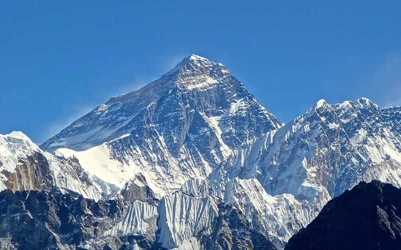


Mount Everest
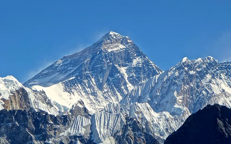
Mount Everest is the highest mountain above sea level on Earth, standing at an official elevation of 8,848.86 meters (29,031.7 ft). Straddling the international frontier between Nepal and China, it is known locally as Sagarmatha in Nepali ('Goddess of the Sky') and Chomolungma in Tibetan ('Mother Goddess of the World'). The peak rises into the extreme upper troposphere, where oxygen levels drop to barely one-third of sea-level pressure. Climbers face hurricane-force jet stream winds, severe frostbite conditions, shifting ice crevasses in the Khumbu Icefall, and the dangerous Death Zone above 8,000 meters.
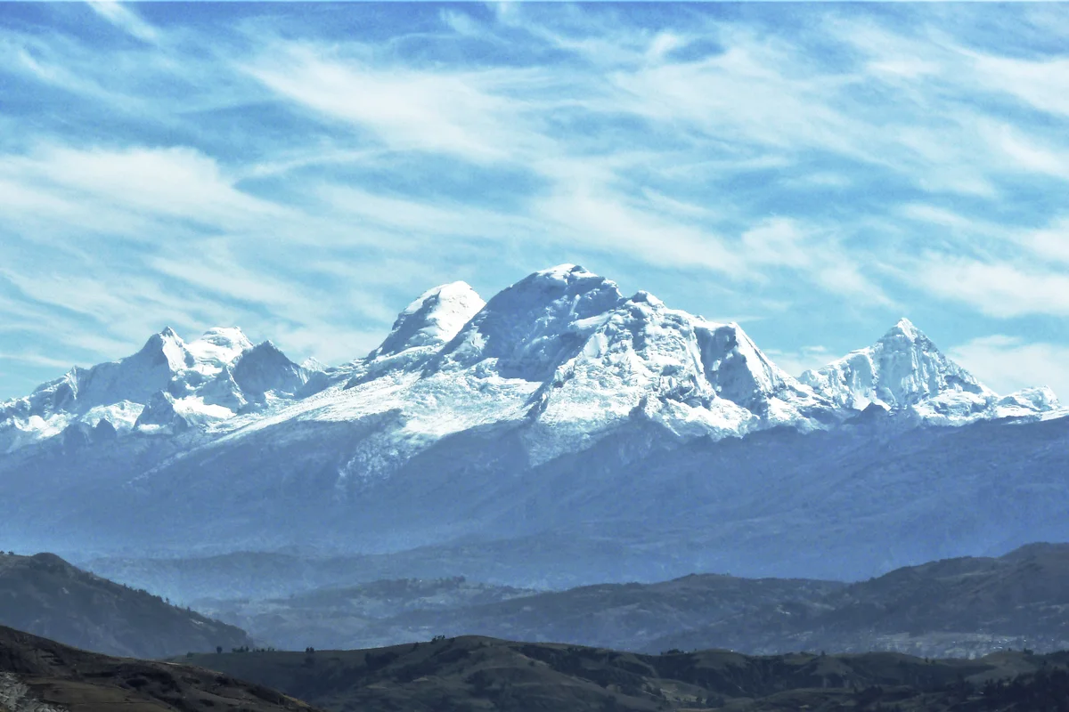

Huascarán
Huascarán is the highest mountain in Peru and the highest peak in the entire tropical zone of Earth, rising to 6,768 metres in the Cordillera Blanca. Its twin glaciated summits—Huascarán Sur (6,768 m) and Huascarán Norte (6,655 m)—tower over the Callejón de Huaylas with colossal icefalls and sheer vertical walls.
Pioneered & Associated Routes (6)
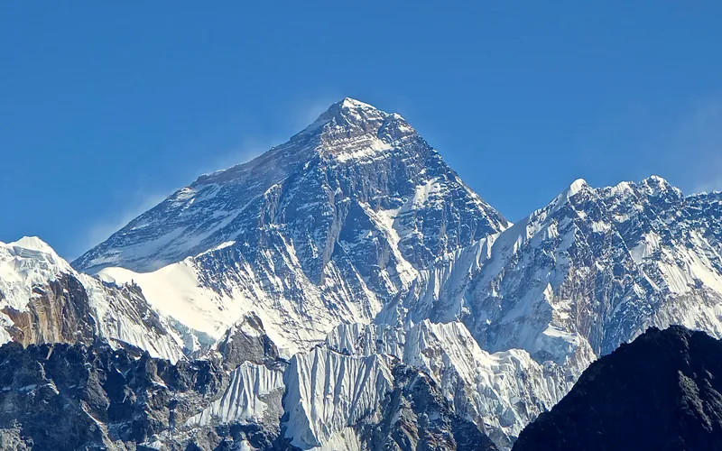
Mount Everest North Face (Hornbein Couloir Direct)
The North Face of Mount Everest via the Japanese Couloir and the sheer Hornbein Couloir is one of the most direct and formidable ice lines in the Himalayas. Rising 3,000 vertical meters from the Rongbuk Glacier to the summit, it funnels through a narrow 60-degree snow-and-ice cleft slicing straight through the Yellow Band and upper limestone cliffs of the North Face. In August 1986, Swiss alpinists Erhard Loretan and Jean Troillet executed one of the most audacious speed climbs in mountain history: climbing the entire face in a single 31-hour push at night without supplemental oxygen, tents, or fixed ropes. After summiting on August 30, they glissaded down the 3,000-meter face on their backs and buttocks in just 3.5 hours, completing the entire round trip in an astonishing 43 hours.
North Col & Northeast Ridge Route
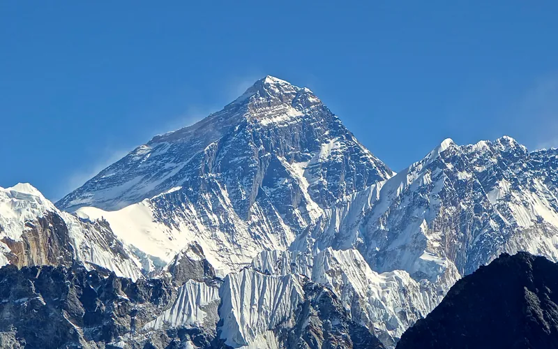
The historic northern route on Mount Everest (8,848.86m), ascending from the Rongbuk and East Rongbuk glaciers to breach the icy wall of the North Col (7,020m). From the col, the route traverses the wind-blasted Northwest Ridge onto the North Face before joining the razor-like Northeast Ridge, navigating the notorious First, Second, and Third Steps in the Death Zone. This was the stage of George Mallory and Andrew Irvine's fateful 1924 climb and was first definitively surmounted on May 25, 1960, by Chinese climbers Wang Fuzhou, Qu Yinhua, and Gongbu.
Mount Everest Southwest Face (Bonington Route)
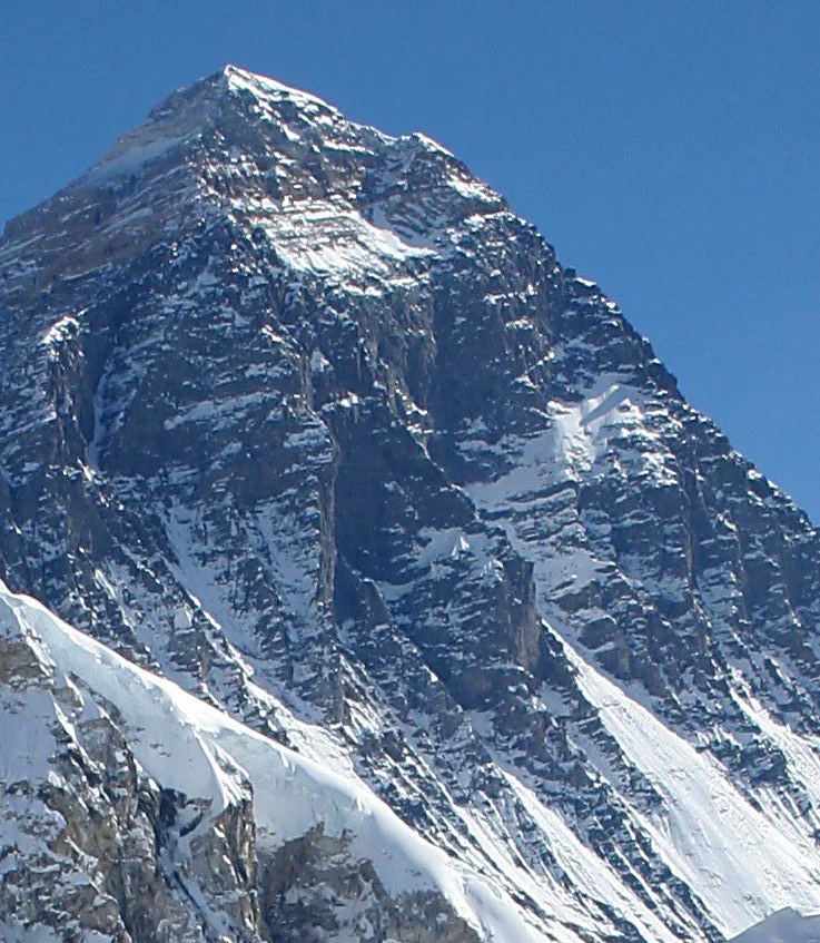
The Southwest Face of Mount Everest (8,848.86m) rises 2,300 vertical meters from the Western Cwm to the summit, presenting one of the largest and most forbidding rock and ice faces in the world. Dominated by the vertical 300-meter 'Rock Band' at 8,200–8,500 meters, the face repelled six international attempts between 1969 and 1974. In autumn 1975, a legendary British expedition led by Chris Bonington breached the face when Paul Braithwaite and Nick Estcourt unlocked the key ramp through the Rock Band. On September 24, 1975, Doug Scott and Dougal Haston climbed to the South Summit and pushed on to the main summit, becoming the first Britons to conquer Everest. Trapped by nightfall during their descent, they survived an epic open bivouac at 8,760 meters without oxygen, sleeping bags, or frostbite.
Mount Everest Complete West Ridge (Yugoslav Direct)
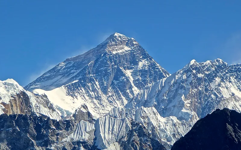
The Complete West Ridge of Mount Everest is one of the most formidable and sustained technical routes on the mountain. Pioneered in spring 1979 by an elite Yugoslav expedition led by Tone Škarja, the route tackles the integral knife-edge crest directly from the Lho La col (6,026m) all the way to the 8,848.86m summit. Unlike the 1963 American West Ridge route which diverted into the Hornbein Couloir from the North Face, the Yugoslav line stayed strictly along the razor-edge crest of the West Ridge, surmounting technical rock buttresses up to Grade V+ at extreme altitude before traversing around the Yellow Band. On May 13, 1979, Andrej Štremfelj and Nejc Zaplotnik achieved the first ascent of the complete ridge, followed two days later by Stane Belak, Marjan Manfreda, and Ang Phu Sherpa in one of the greatest feats in Himalayan history.
Huascarán Garganta Normal Route
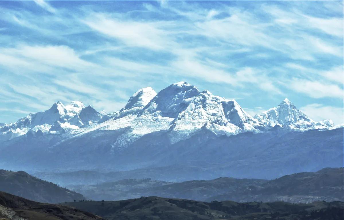
The Huascarán Normal Route via the Garganta is the classic high-altitude line ascending Peru's highest peak in the Cordillera Blanca. Pioneered in July 1932 by the German-Austrian expedition led by Philipp Borchers and Erwin Schneider, the route traverses the fractured glacier of the western flank to the 6,000-metre saddle between the twin summits. It demands rigorous acclimatization, crevasse rescue skills, and vigilance against objective avalanche and serac hazards.
South Col & Southeast Ridge (Normal Route)
The South Col Route along the Southeast Ridge is the historic path of the 1953 first ascent and the most popular route on Mount Everest. Starting from Base Camp on the Khumbu Glacier in Nepal, climbers navigate the shifting seracs of the Khumbu Icefall into the Western Cwm. The route then scales the icy 45-degree slope of the Lhotse Face to the South Col at 7,925 meters, launching the final summit bid through the Balcony, South Summit, and Hillary Step to the summit of Earth at 8,848.86 meters.
Documented Expeditions (2)
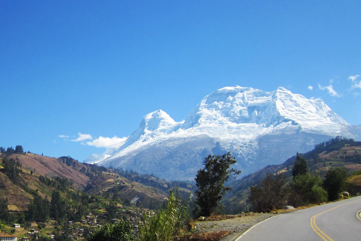
1977 Nicolas Jaeger Huascarán Sur Solo & 60-Day Scientific Survival Bivouac
In 1977 and 1978, French physician and extreme soloist Nicolas Jaeger pushed high-altitude human limits on Huascarán Sur, achieving a solo ascent and subsequently surviving sixty continuous days alone at 6,700 metres.
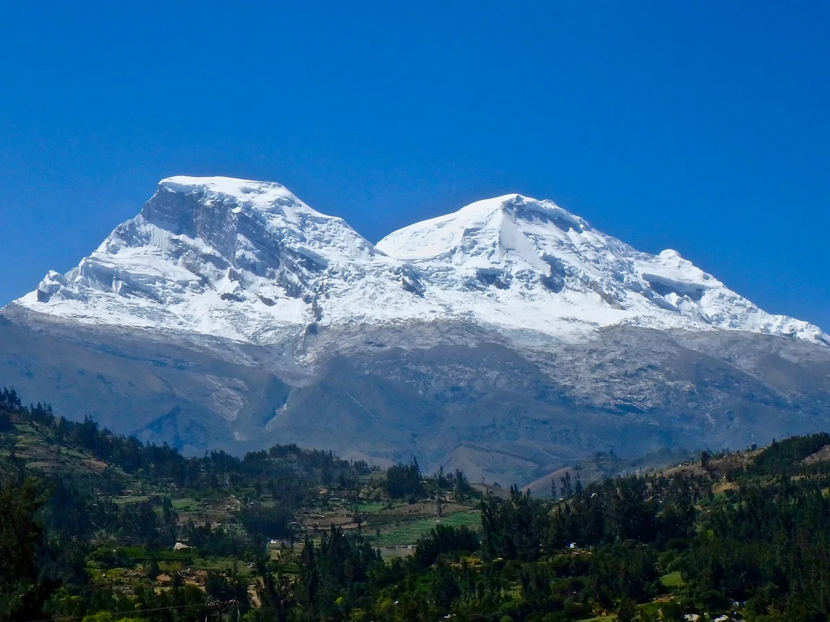
1979 Nicolas Jaeger 60-Day High-Altitude Solitary Survival on Huascarán
From July 27 to September 27, 1979, French physician and extreme solo alpinist Nicolas Jaeger lived alone for sixty consecutive days at 6,700 metres on the summit slopes of Huascarán Sur. Battling extreme hypoxia, sub-zero isolation, and violent Andean gales, Jaeger conducted groundbreaking physiological self-experimentation that redefined human acclimatization limits.
Associated Chronicles & Stories (2)
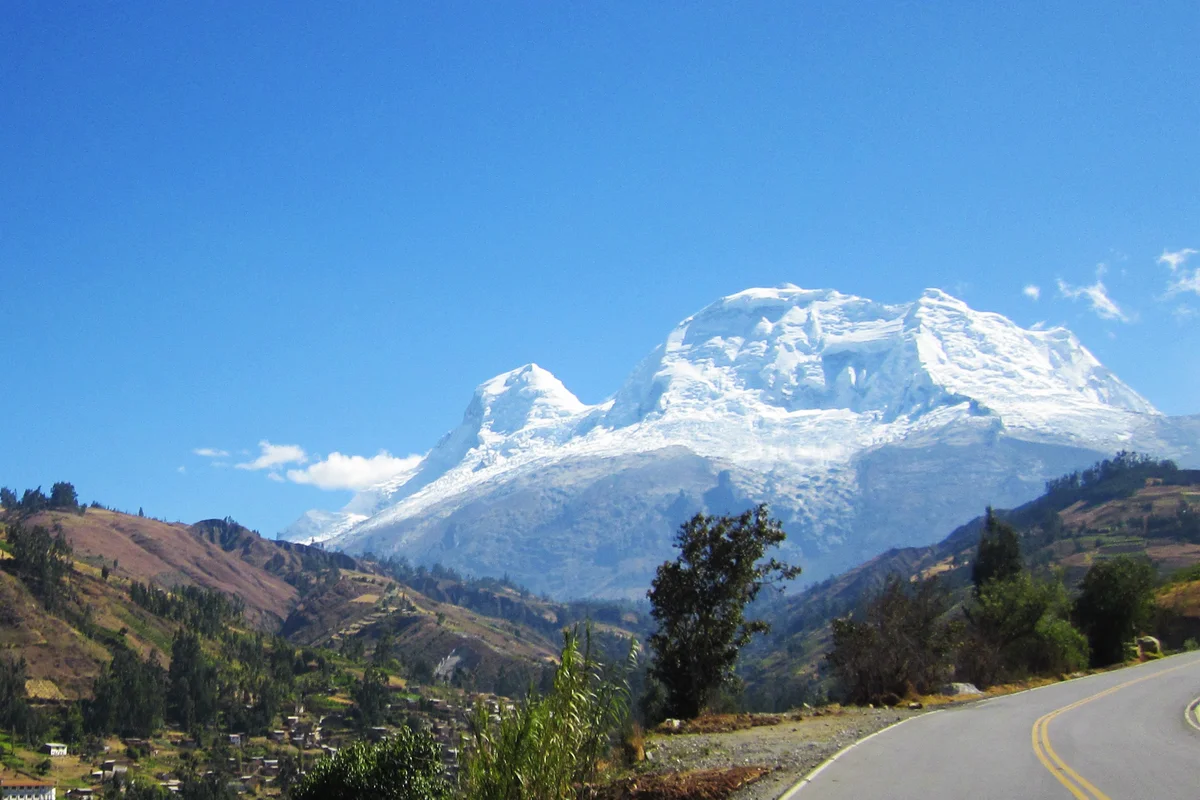
Sixty Days Above the Clouds: Nicolas Jaeger's Solitary Odyssey on Huascarán
Between 1977 and 1978, French physician and extreme soloist Nicolas Jaeger pioneered a solo route up Huascarán Sur and survived sixty consecutive days alone at 6,700 metres conducting ground-breaking hypoxia research.
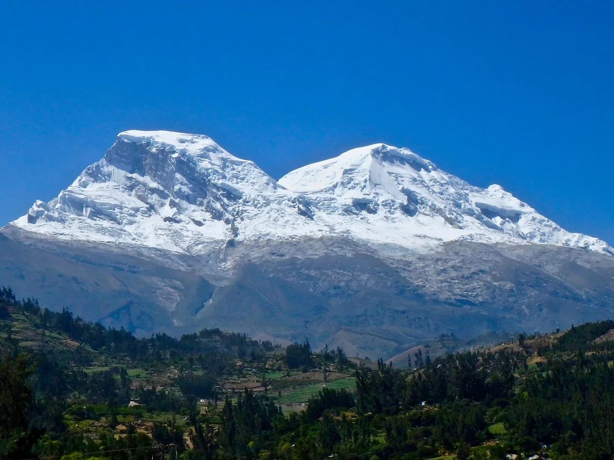
Carnets of the Solitary: Nicolas Jaeger's Sixty Days at 6,700 Metres
From July to September 1979, French doctor and extreme soloist Nicolas Jaeger lived alone for sixty days on the summit ice of Huascarán Sur, turning his body into a living laboratory.
Documented Sources & Archival Citations
- American Alpine Journal: Huascarán Sur Solo & Survival (1978)(American Alpine Club)
Supporting claim: Documentation of Nicolas Jaeger's solo ascent and survival experiment on Huascarán
Accessed/Documented: 2026 - Carnets de Solitude: 60 Jours Seul à 6,700 Mètres(Nicolas Jaeger / Éditions Denoël)
Supporting claim: Autobiographical account of high-altitude solo physiology and endurance
Accessed/Documented: 2026