Huascarán Garganta Normal Route
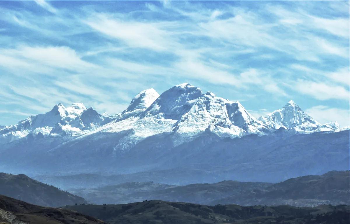
The Huascarán Normal Route via the Garganta is the classic high-altitude line ascending Peru's highest peak in the Cordillera Blanca. Pioneered in July 1932 by the German-Austrian expedition led by Philipp Borchers and Erwin Schneider, the route traverses the fractured glacier of the western flank to the 6,000-metre saddle between the twin summits.
Ascent line, technical cruxes & camp topography profile for Huascarán Garganta Normal Route
Mountain Safety & Conditions Disclaimer: High-altitude climbing, glacial travel, and technical ascents entail severe objective risks including avalanches, serac collapses, rapid weather collapse, and altitude illness. Historical route descriptions and summit claims on Mountanity reflect documented archival sources and must not be used as live operational safety assessments. Local regulations, permits, and physical glacial topography change continuously.
Peer Review: Senior Editorial Board & Historical Reviewers • Editorial Standards
Tactical & Camp Notes
Starting from the village of Musho, climbers ascend through switchbacks to Base Camp at 4,200 metres, then negotiate polished granite slabs to the Moraine Camp. Entering the glaciated terrain, Camp 1 sits below the lower icefall at 5,300 metres. The route then negotiates the heavily crevassed icefall and serac corridors beneath Huascarán Norte to reach the Garganta Col (Camp 2, 6,000 m). From the col, the route strikes south across steepening 45-55 degree ice slopes and navigating a gaping bergschrund to attain the broad glaciated summit dome of Huascarán Sur at 6,768 metres.
Interactive Elevation Profile
Vertical profile, technical cruxes, and camp staging progression for Huascarán Garganta Normal Route on Huascarán.
Rocky outcrop camp perched above the lateral moraine below the glacier tongue.
Camp-by-Camp Topography
Key staging altitudes, technical cruxes, and terrain transitions for Huascarán Garganta Normal Route.
Refugio Huascarán / Moraine Camp
Rocky outcrop camp perched above the lateral moraine below the glacier tongue.
Camp 1 (Glacier High Camp)
Snow platform situated below the initial icefall on the western glacier.
Camp 2 (The Garganta Col)
High glaciated saddle separating Huascarán Norte and Sur, launching point for summit push.
Huascarán Sur Summit
Highest point in Peru and the global tropics, offering immense views of the Santa Valley.
Topographic Location & Terrain Map
Cartographic datum, massif coordinates, and terrain context for Huascarán Garganta Normal Route on Huascarán.
Interactive Topographic Terrain Map
Click below to load live cartographic contours, glacier approaches, and geographic markers for Huascarán (9°07′02″ S, 77°36′15″ W).
Key Statistics & Topographic Figures
- Route Grade
- PD / AD- (55° Ice & Snow)
- Summit Elevation
- 6,768 m (22,205 ft)
- Elevation Gain
- 2,500 m from Base Camp
- First Ascent Team
- Borchers, Schneider, Bernard, Schmid, Hoerlin (1932)
- High Col Altitude
- The Garganta at 6,000 m
Archival Primary Source Quotations
“Through the Garganta, the path to the summit is unlocked only by vigilance against the crashing ice above.”
Defined Alpine Terminology & Concepts
- The Garganta Col
- The 6,000-metre saddle connecting Huascarán Norte and Huascarán Sur, serving as the essential high assault platform.
- Serac Corridor
- A narrow glacier passage flanked by towering, unstable vertical ice towers prone to sudden structural collapse.
Frequently Asked Questions: Huascarán Garganta Normal Route
What is the Huascarán Garganta Normal Route?
It is the classic glaciated climbing route up Peru's highest peak, Huascarán Sur (6,768 m), pioneered in July 1932 by the DÖAV expedition.
What is the difficulty rating of the Huascarán Garganta Route?
The route is graded PD / AD- with sustained 45-to-55-degree snow and ice slopes, intricate crevasse mazes, and severe high-altitude exposure.
What are the main objective hazards on the route?
Primary hazards include serac collapse from Huascarán Norte, ice avalanches sweeping the lower Garganta, and shifting bergschrund crossings.
Where is Camp 2 established?
Camp 2 is established in the high Garganta col at 6,000 metres between the north and south summits.
Mountain Ascended

Huascarán
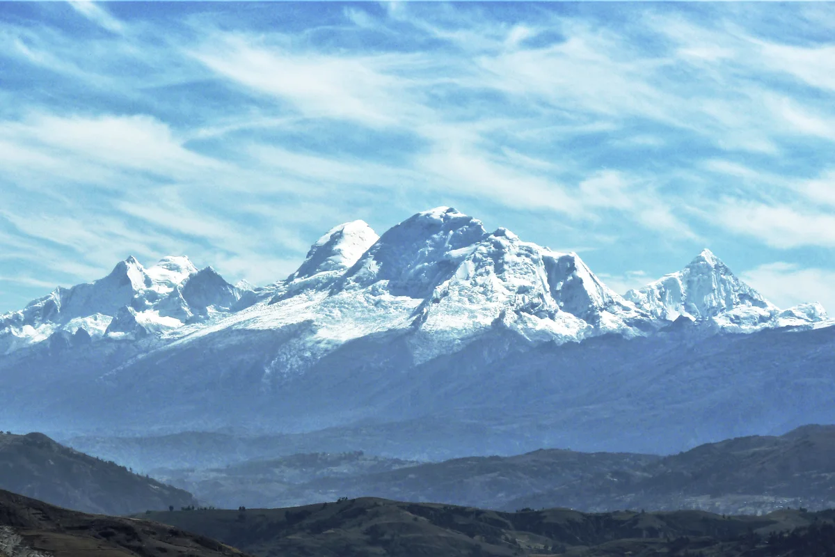
Huascarán is the highest mountain in Peru and the highest peak in the entire tropical zone of Earth, rising to 6,768 metres in the Cordillera Blanca. Its twin glaciated summits—Huascarán Sur (6,768 m) and Huascarán Norte (6,655 m)—tower over the Callejón de Huaylas with colossal icefalls and sheer vertical walls.
Huascarán Norte
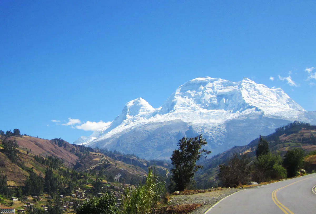
Huascarán Norte is the northern summit of Peru's highest mountain massif, rising to 6,655 metres in the Cordillera Blanca. It was first climbed in September 1908 by pioneering American suffragist Annie Smith Peck alongside Swiss guides Gabriel Zumtaugwald and Rudolf Taugwalder. The peak features steep ice aprons and towering seracs connected to Huascarán Sur via the Garganta col.
Documented Expeditions on this Route (2)
Verified historical summits, siege campaigns, and pioneer attempts recorded on Huascarán Garganta Normal Route.
1932 German-Austrian Huascarán Sur Historic First Ascent Expedition
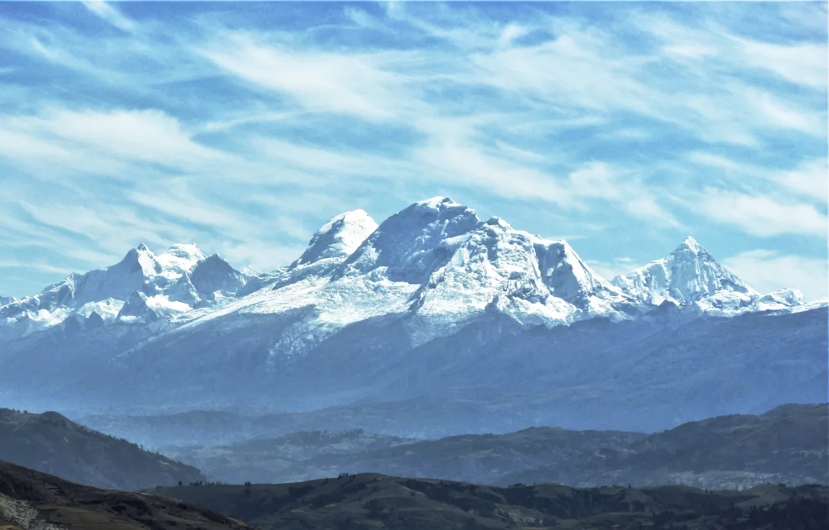
On July 20, 1932, the German-Austrian Alpine Club expedition led by Philipp Borchers and Erwin Schneider achieved the historic first ascent of Huascarán Sur (6,768 m), the highest peak in Peru. Navigating the treacherous Garganta col and western icefall, Borchers, Schneider, Wilhelm Bernard, Franz Schmid, and Hermann Hoerlin solved the supreme high-altitude challenge of the tropical Andes.
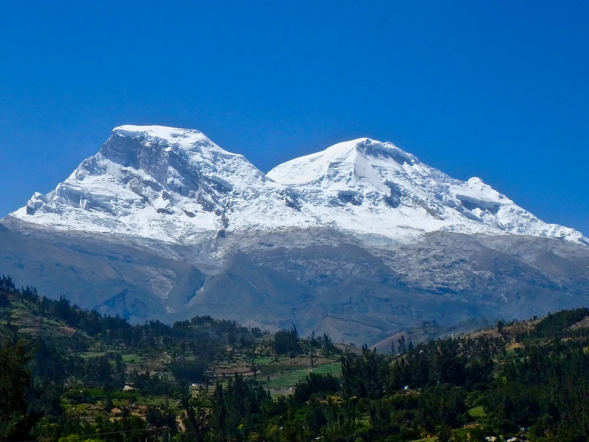
1979 Nicolas Jaeger 60-Day High-Altitude Solitary Survival on Huascarán
From July 27 to September 27, 1979, French physician and extreme solo alpinist Nicolas Jaeger lived alone for sixty consecutive days at 6,700 metres on the summit slopes of Huascarán Sur. Battling extreme hypoxia, sub-zero isolation, and violent Andean gales, Jaeger conducted groundbreaking physiological self-experimentation that redefined human acclimatization limits.
Archival Chronicles & Stories on this Route (2)
In-depth longform historical narratives, harrowing survival accounts, and firsthand alpine journals on Huascarán Garganta Normal Route.
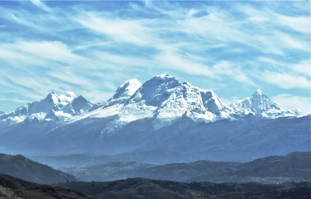
Taming the White Cordillera: The 1932 First Ascent of Huascarán Sur
On July 20, 1932, a powerhouse German-Austrian team led by Philipp Borchers and Erwin Schneider surmounted the harrowing icefalls of the Garganta to achieve the first ascent of Huascarán Sur (6,768 m).
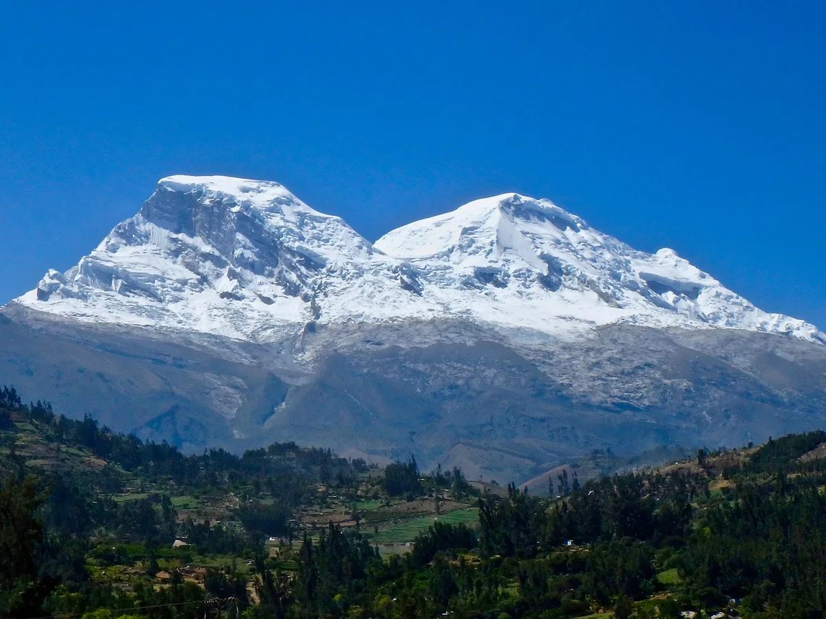
Carnets of the Solitary: Nicolas Jaeger's Sixty Days at 6,700 Metres
From July to September 1979, French doctor and extreme soloist Nicolas Jaeger lived alone for sixty days on the summit ice of Huascarán Sur, turning his body into a living laboratory.
Documented Sources & Archival Citations
- Die Weiße Kordillere(Philipp Borchers / Verlag F. Bruckmann)
Supporting claim: Original first ascent narrative of the Garganta route to Huascarán Sur
Accessed/Documented: 2026 - Classic Climbs of the Cordillera Blanca(Brad Johnson / The Mountaineers Books)
Supporting claim: Modern technical topo and hazard assessment of the Huascarán Normal Route
Accessed/Documented: 2026