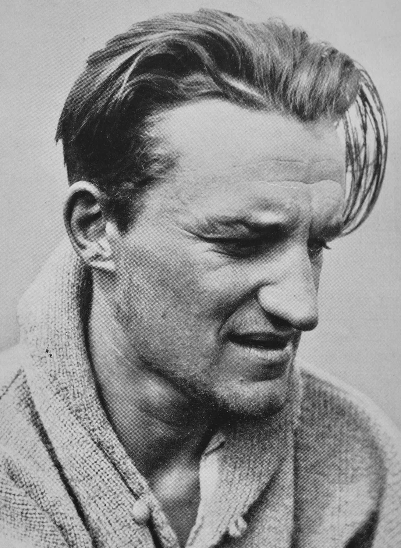
Erwin Schneider
Erwin Schneider was a world-famous Austrian mountaineer and master cartographer. In 1928, he made the maiden first ascent of Lenin Peak (7,134 metres) in the Pamirs, and later produced the definitive high-precision topographic maps of Mount Everest and the Khumbu region.
Mountain Safety & Conditions Disclaimer: High-altitude climbing, glacial travel, and technical ascents entail severe objective risks including avalanches, serac collapses, rapid weather collapse, and altitude illness. Historical route descriptions and summit claims on Mountanity reflect documented archival sources and must not be used as live operational safety assessments. Local regulations, permits, and physical glacial topography change continuously.
Peer Review: Senior Editorial Board & Historical Reviewers • Editorial Standards
Biographical Record & Archival Chronicle
Born in Sankt Joachimsthal on April 13, 1906, Erwin Schneider became one of the most prolific high-altitude mountaineers of the twentieth century. In 1928, as a member of the German-Soviet Alay-Pamir Expedition, Schneider summited Lenin Peak (7,134 m) alongside Karl Wien and Eugen Allwein. In 1930, during the International Himalaya Expedition to Kangchenjunga, Schneider summited Jongsong Peak (7,462 m), setting an undisputed world altitude summit record that stood for years.
Schneider's greatest lasting legacy lies in high-altitude photogrammetry and mountain cartography. Between 1955 and 1963, Schneider led the Austrian Alpine Club mapping expeditions that created the legendary 'Schneider Map of the Khumbu Himal and Mount Everest', widely regarded by geographers and mountaineers as a masterpiece of cartographic precision.
Notable Milestones & Ascents
- Summited Lenin Peak (7,134 m) on its historic maiden first ascent on September 25, 1928
- Established a world peak summit height record by climbing Jongsong Peak (7,462 m) in 1930
- Pioneered photogrammetric terrestrial mapping across the Cordillera Blanca and Nepal Himalaya
- Created the benchmark Schneider Map of Mount Everest and Khumbu Himal
- Awarded the Franz von Hauer Medal by the Austrian Geographical Society
Key Statistics & Topographic Figures
- Lifespan
- April 13, 1906 – December 11, 1987 (aged 81)
- Huascarán Sur Ascent
- July 20, 1932 (First ascent, 6,768 m)
- Nevado Pisco Ascent
- July 12, 1951 (First ascent & naming, 5,752 m)
- Himalayan Record
- Jongsong Peak (7,462 m) in 1930
- Cartographic Legacy
- Alpenvereinskarte Cordillera Blanca & Mount Everest
Archival Primary Source Quotations
“A map is not merely lines on paper; it is the portrait of a mountain as seen by those who risked their lives across its ridges.”
Defined Alpine Terminology & Concepts
- Terrestrial Photogrammetry
- A method of surveying high mountain topography by triangulating precision photographs taken from known ground baseline stations.
- Alpenvereinskarte
- The authoritative, highly detailed topographic maps produced by the Alpine Club, renowned for exquisite rock drawings and contour accuracy.
Frequently Asked Questions: Erwin Schneider
Who was Erwin Schneider?
Erwin Schneider (1906–1987) was an Austrian mountaineer, photogrammetrist, and topographer who pioneered first ascents across the Himalayas and Andes and mapped the Cordillera Blanca and Mount Everest.
What Andean first ascents did Erwin Schneider achieve?
In 1932, Schneider made first ascents of Huascarán Sur (6,768 m), Chopicalqui (6,354 m), Artesonraju (6,025 m), and Huandoy (6,395 m). In 1951, he made the first ascent of Nevado Pisco (5,752 m).
What Himalayan altitude record did Erwin Schneider set?
In 1930, on Günter Dyhrenfurth's expedition, Schneider reached the summit of Jongsong Peak (7,462 m), setting a world summit altitude record that stood until 1931.
What are the Schneider Alpenvereinskarte maps?
Schneider created the legendary high-precision topographic maps of the Cordillera Blanca, Cordillera Huayhuash, and the Khumbu-Mount Everest region using terrestrial photogrammetry.
Why did Erwin Schneider name Nevado Pisco?
Upon making the first ascent of the peak on July 12, 1951, Schneider and his companions toasted their success with Peruvian pisco brandy and named the peak in its honor.
Associated Summits (1)
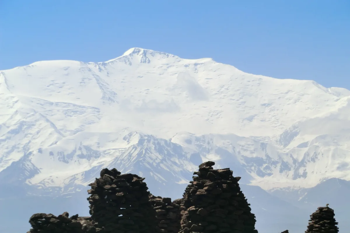


Lenin Peak / Ibn Sina Peak
Lenin Peak (officially Ibn Sina Peak in Tajikistan) is a colossal glaciated mountain rising to 7,134 metres (23,406 ft) on the border of Kyrgyzstan and Tajikistan in the Trans-Alay Range of the northern Pamirs. Famous for its massive non-technical snow slopes and broad summit plateau, it was first conquered during the 1928 German-Soviet Alay-Pamir Expedition by Karl Wien, Eugen Allwein, and Erwin Schneider, setting an international altitude record for that era. Today, it is revered as the world's most climbed and accessible 7,000-metre peak.
Pioneered & Associated Routes (1)
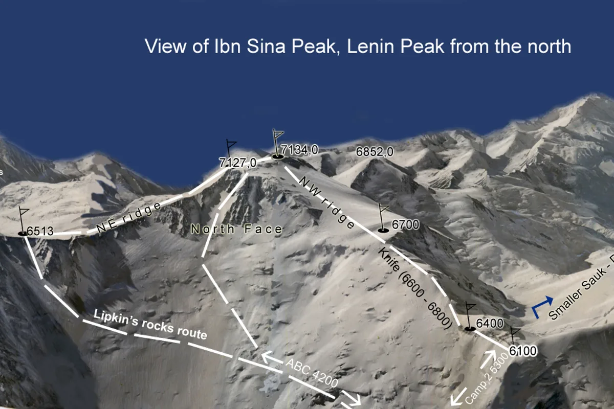
Lenin Peak Razdelnaya Route & West Ridge
The Razdelnaya Route via the North Face and West Ridge is the classic standard route on Lenin Peak (7,134 m). Starting from the Achik-Tash Base Camp (3,600 m), the route navigates the crevassed Lenin Glacier to Camp 2 (5,300 m), scales the steep snow slopes to Razdelnaya Peak (6,148 m) for Camp 3, and makes a sustained 1,000-metre summit push along the exposed West Ridge to 7,134 metres.
Documented Expeditions (5)
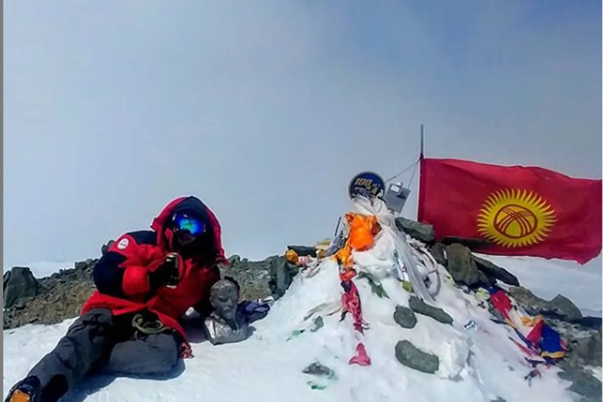
1928 German-Soviet Alay-Pamir Expedition: Maiden Ascent of Lenin Peak
On September 25, 1928, German and Austrian mountaineers Karl Wien, Eugen Allwein, and Erwin Schneider achieved the first ascent of Lenin Peak (7,134 m) in the Pamirs, setting a world climbing altitude record during the historic German-Soviet Alay-Pamir Expedition.
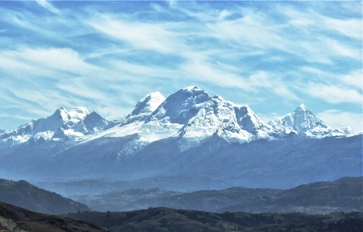
1932 German-Austrian Huascarán Sur Historic First Ascent Expedition
On July 20, 1932, the German-Austrian Alpine Club expedition led by Philipp Borchers and Erwin Schneider achieved the historic first ascent of Huascarán Sur (6,768 m), the highest peak in Peru. Navigating the treacherous Garganta col and western icefall, Borchers, Schneider, Wilhelm Bernard, Franz Schmid, and Hermann Hoerlin solved the supreme high-altitude challenge of the tropical Andes.
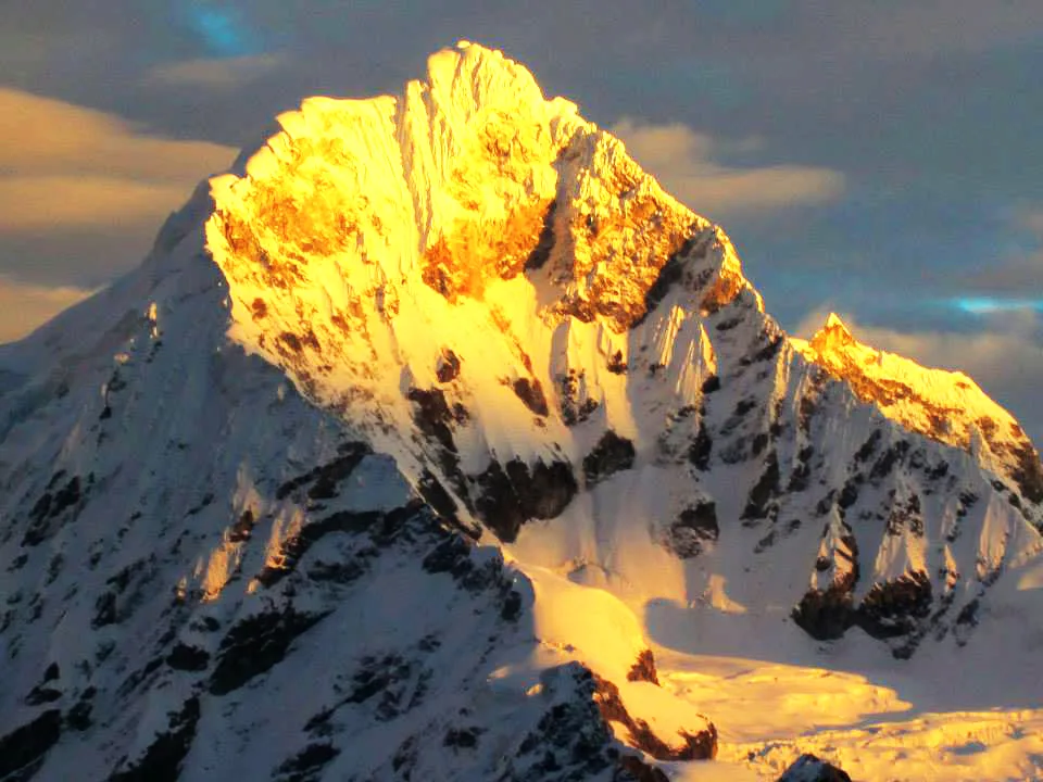
1932 Schneider Chopicalqui Historic First Ascent Expedition
On August 3, 1932, Austrian mountaineer Erwin Schneider, Philipp Borchers, and Hermann Hoerlin made the historic first ascent of Nevado Chopicalqui (6,354 m) in Peru's Cordillera Blanca. Pioneering the elegant Southwest Ridge line from Quebrada Llanganuco, the climbers negotiated razor-sharp snow arêtes and fragile summit cornices to unlock one of the Andes' most aesthetic summits.
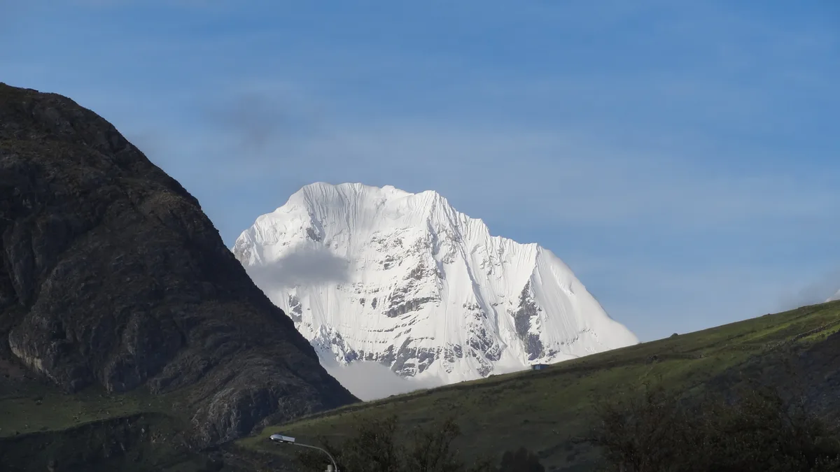
1936 Schneider-Awerzger Siula Grande Historic First Ascent Expedition
On July 28, 1936, Austrian alpine legends Erwin Schneider and Arnold Awerzger accomplished the historic first ascent of Siula Grande (6,344 m) in the Cordillera Huayhuash. Navigating intricate crevasse fields and knife-edge corniced ridges, Schneider and Awerzger achieved the first high-altitude triumph in this formidable and unexplored mountain range.
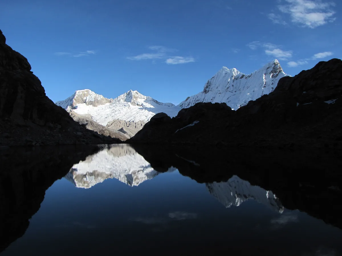
1951 Schneider Nevado Pisco Historic First Ascent Expedition
On July 12, 1951, veteran Austrian cartographer and climber Erwin Schneider led the historic first ascent of Nevado Pisco (5,752 m) alongside Claude Fabre and Fermo Marzari. Celebrating their achievement on the summit with Peru's national liquor, pisco, the team bequeathed the mountain its famous name while unlocking one of the Andes' most spectacular viewpoints.
Associated Chronicles & Stories (5)
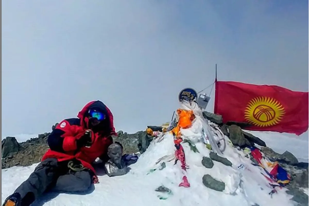
At the Roof of the World: The 1928 Conquest of Lenin Peak
In 1928, the governments of the Weimar Republic and the Soviet Union launched the most ambitious joint scientific expedition ever assembled in Central Asia: the...
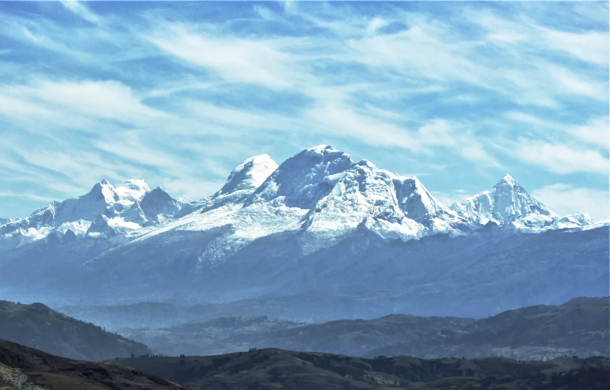
Taming the White Cordillera: The 1932 First Ascent of Huascarán Sur
On July 20, 1932, a powerhouse German-Austrian team led by Philipp Borchers and Erwin Schneider surmounted the harrowing icefalls of the Garganta to achieve the first ascent of Huascarán Sur (6,768 m).
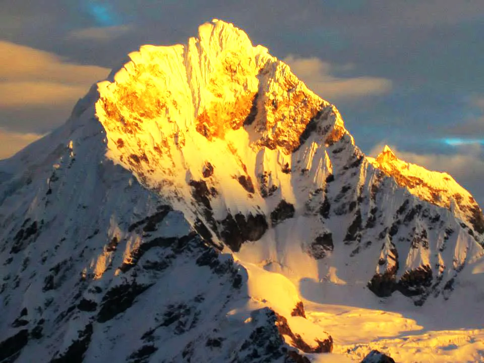
The Knife-Edge of Llanganuco: Erwin Schneider's 1932 Triumph on Chopicalqui
Just two weeks after conquering Huascarán Sur, Erwin Schneider, Philipp Borchers, and Hermann Hoerlin pioneered the razor-sharp Southwest Ridge of Chopicalqui (6,354 m).
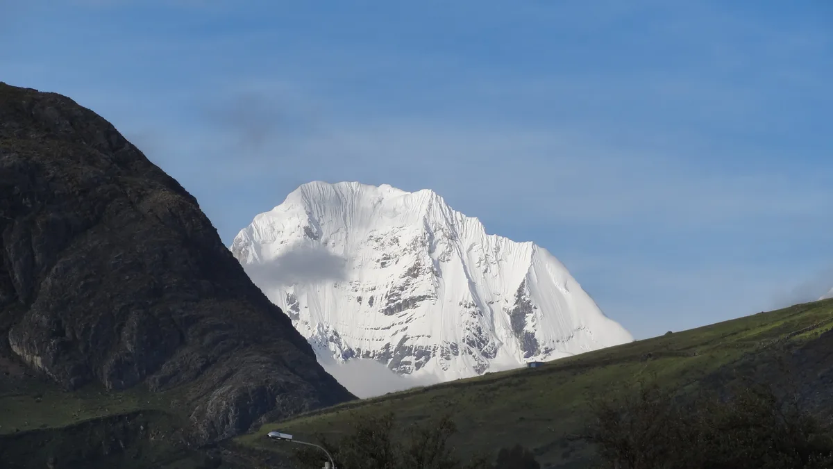
First Light on Huayhuash: Schneider & Awerzger on Siula Grande
On July 28, 1936, Austrian alpine legends Erwin Schneider and Arnold Awerzger achieved the historic first ascent of Siula Grande (6,344 m), opening a new era of exploration in the Cordillera Huayhuash.
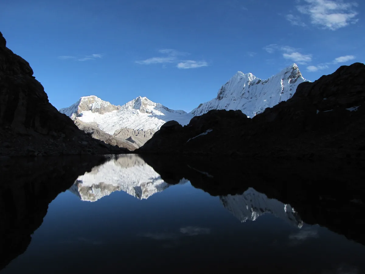
A Toast Above the Clouds: The 1951 First Ascent and Naming of Nevado Pisco
In July 1951, Austrian mountain titan Erwin Schneider returned to Peru to claim the virgin summit of a 5,752-metre glaciated jewel, christening it Nevado Pisco with a celebratory toast of Andean brandy.
Documented Sources & Archival Citations
- The Cartography of the Khumbu Himal(Oesterreichischer Alpenverein / Erwin Schneider)
Supporting claim: Photogrammetric mapping survey and high-altitude ascent notes by Erwin Schneider
Accessed/Documented: 1957