1898 Dr. Hans Meyer Mount Kilimanjaro Kibo Caldera Glaciological Survey Expedition
In the summer of 1898, Dr. Hans Meyer returned to Mount Kilimanjaro to conduct the first exhaustive glaciological and photographic survey of the Kibo caldera. Descending directly into the volcanic crater floor, Meyer mapped the Northern and Southern Icefields and recorded crucial scientific data establishing the foundational baseline for global tropical climate and glacial monitoring.
Mountain Safety & Conditions Disclaimer: High-altitude climbing, glacial travel, and technical ascents entail severe objective risks including avalanches, serac collapses, rapid weather collapse, and altitude illness. Historical route descriptions and summit claims on Mountanity reflect documented archival sources and must not be used as live operational safety assessments. Local regulations, permits, and physical glacial topography change continuously.
Peer Review: Senior Editorial Board & Historical Reviewers • Editorial Standards
Official Expedition Narrative & Archival Record
Nine years after his landmark 1889 first ascent, German geographer Dr. Hans Meyer returned to Mount Kilimanjaro in 1898 on a purely scientific expedition sponsored by the Bibliographisches Institut and the German Geographical Society. His objective was not merely to re-summit the peak, but to conduct an exacting photographic and topographical survey of Kibo's immense glaciated crater. Ascending via his established route from Marangu with experienced Chagga porters, Meyer established a high camp directly on the Saddle at 4,400 metres. Over two weeks of strenuous high-altitude field research, Meyer summited Kibo multiple times, braving howling volcanic winds and biting frost to descend into the western breach and photograph the massive interior glacier walls. Meyer's 1898 survey documented the vast extent of the Northern Icefield, the Southern Icefield, and the dry volcanic Reusch Crater, creating the definitive 1:50,000 topographical maps of the mountain. His precise measurements of ice thickness and glacial terminus positions provided the baseline against which 20th- and 21st-century climatologists have measured equatorial global warming and tropical glacier retreat.
Documented Team Composition
- Dr. Hans Meyer (Expedition Leader & Geographer, Germany)
- Local Chagga Mountain Guides & Porters (Marangu, Tanzania)
Key Statistics & Topographic Figures
- Official Elevation
- 5,895 m (Caldera Floor: ~5,700 m)
- Survey Date
- August 1898
- Expedition Leader
- Dr. Hans Meyer
- Key Mapping Output
- 1:50,000 Topographical Map of Kibo
- Route Type
- Marangu Approach & Crater Descent
Archival Primary Source Quotations
“To stand on the crater rim is merely to begin; the true soul of Kilimanjaro lies down in the icy belly of its crater.”
Defined Alpine Terminology & Concepts
- Tropical Glaciology
- The scientific study of glaciers located within the equatorial tropics, highly sensitive to atmospheric temperature and moisture fluctuations.
- Ash Pit Caldera
- The deep, steep-sided volcanic vent situated inside the larger summit caldera of a dormant volcano.
Frequently Asked Questions: 1898 Dr. Hans Meyer Mount Kilimanjaro Kibo Caldera Glaciological Survey Expedition
Why did Dr. Hans Meyer return to Mount Kilimanjaro in 1898?
To conduct the first exhaustive glaciological, geological, and photographic survey of the interior Kibo caldera and its vast icefields.
Did Hans Meyer enter the Kibo crater on Mount Kilimanjaro?
Yes, Meyer descended directly into the volcanic caldera, exploring and measuring the Northern and Southern Icefields.
Why is Hans Meyer's 1898 survey crucial to modern climate science?
His precise ice measurements and photographs provide the foundational historical baseline for measuring tropical glacier retreat over the past century.
Ascent Route & Topography
Kilimanjaro Marangu Route via Kibo Hut & Gilman's Point
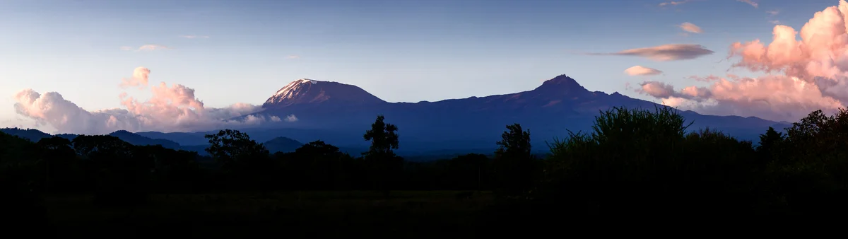
The historic 'Coca-Cola Route' and the oldest established trail on Mount Kilimanjaro, ascending the southeastern slopes from Marangu through rainforest, moorland, and alpine desert to Kibo Hut and Uhuru Peak. The only route on Kilimanjaro offering permanent dormitory hut accommodations.
Target Objective Peak

Mount Kilimanjaro
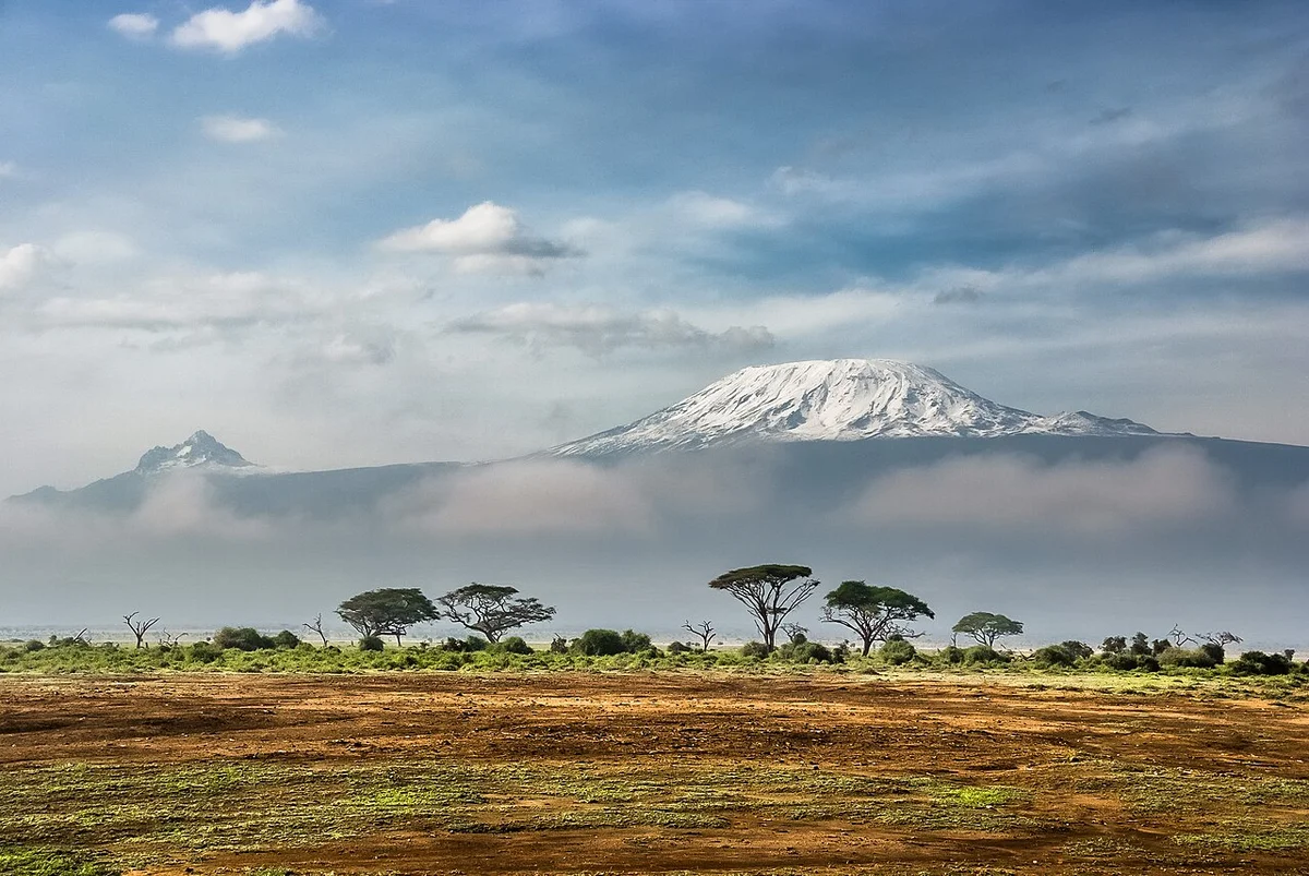
Mount Kilimanjaro is the highest mountain in Africa, the highest free-standing mountain in the world, and one of the Seven Summits, soaring to 5,895 metres (19,341 ft) above the plains of northeastern Tanzania. Consisting of three distinct volcanic cones—Kibo, Mawenzi (5,149 m), and Shira (4,005 m)—its summit at Uhuru Peak was first reached on October 6, 1889, by German geographer Hans Meyer, Austrian alpine pioneer Ludwig Purtscheller, and local Chagga mountain scout Yohani Lauwo.
Featured Expedition Climber
Hans Meyer
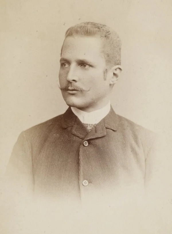
Hans Heinrich Joseph Meyer was born on March 22, 1858, in Hildburghausen, Germany, the son of the noted publisher Herrmann Julius Meyer (founder of Bibliographisches Institut and publisher of Meyer's Konversations-Lexikon). Meyer studied history, geography, and political economy at Leipzig, Berlin, and Strasbourg, obtaining his doctorate in 1881 before dedicating his life to scientific expeditions across Asia, North America, and East Africa. In 1887, Meyer mounted his first expedition to Mount Kilimanjaro in German East Africa, reaching the base of Kibo's icy crown at 5,500 metres before being stopped by a vertical ice wall for which he lacked technical ice gear. In 1888, his second attempt with cartographer Oscar Baumann was violently disrupted by the Abushiri Revolt on the coast; both men were captured, held hostage, and ransomed for a staggering 10,000 rupees. Undaunted, Meyer returned in 1889 with celebrated Austrian alpine purist Ludwig Purtscheller, engaging local Chagga headman Yohani Kinyala Lauwo and sixteen Swahili and Chagga porters. On October 6, 1889, after carving an encampment at 4,300 metres on the Saddle, Meyer and Purtscheller reached the southern crater rim and the supreme summit crest, naming it Kaiser-Wilhelm-Spitze (now Uhuru Peak, 5,895 m). Meyer returned in 1898 to conduct extensive photographic and glaciological surveys of the Kibo crater, documenting tropical glacial recession that remains foundational to modern climate science. He passed away on July 5, 1929, revered as one of the preeminent geographic explorers of his generation.
Associated Historical Chronicles & Stories
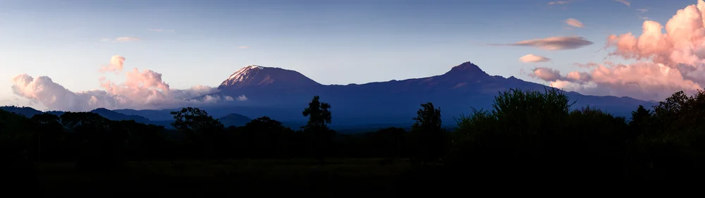
Into the Kibo Caldera: Hans Meyer's 1898 Glaciological Odyssey
The Scientist Returns to His Mountain...
Documented Sources & Archival Citations
- Der Kilimandscharo: Reisen und Studien(Hans Meyer / Dietrich Reimer)
Supporting claim: Comprehensive scientific expedition report and maps of the 1898 survey
Accessed/Documented: 1900