Kilimanjaro Marangu Route via Kibo Hut & Gilman's Point
The historic 'Coca-Cola Route' and the oldest established trail on Mount Kilimanjaro, ascending the southeastern slopes from Marangu through rainforest, moorland, and alpine desert to Kibo Hut and Uhuru Peak. The only route on Kilimanjaro offering permanent dormitory hut accommodations.
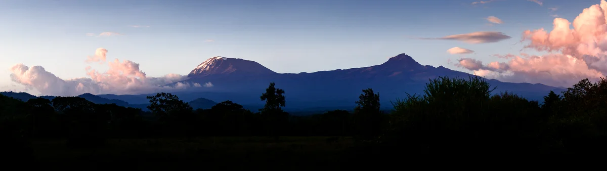
Ascent line, technical cruxes & camp topography profile for Kilimanjaro Marangu Route via Kibo Hut & Gilman's Point
Mountain Safety & Conditions Disclaimer: High-altitude climbing, glacial travel, and technical ascents entail severe objective risks including avalanches, serac collapses, rapid weather collapse, and altitude illness. Historical route descriptions and summit claims on Mountanity reflect documented archival sources and must not be used as live operational safety assessments. Local regulations, permits, and physical glacial topography change continuously.
Peer Review: Senior Editorial Board & Historical Reviewers • Editorial Standards
Tactical & Camp Notes
The historic pioneer route pioneered by Hans Meyer and Ludwig Purtscheller in 1889. Starting from Marangu Gate at 1,860 metres, hikers pass through montane rainforest to Mandara Hut (2,700 m), across open moorland to Horombo Hut (3,720 m), and across the high-altitude alpine desert Saddle to Kibo Hut (4,703 m). Summit night begins around midnight up steep volcanic scree switchbacks to Gilman's Point (5,685 m) on the crater rim, continuing past Stella Point to the 5,895-metre Uhuru Peak.
Interactive Elevation Profile
Vertical profile, technical cruxes, and camp staging progression for Kilimanjaro Marangu Route via Kibo Hut & Gilman's Point on Mount Kilimanjaro.
Official park entrance and trailhead nestled in the lush tropical rainforest.
Camp-by-Camp Topography
Key staging altitudes, technical cruxes, and terrain transitions for Kilimanjaro Marangu Route via Kibo Hut & Gilman's Point.
Marangu Gate
Official park entrance and trailhead nestled in the lush tropical rainforest.
Mandara Hut
First overnight shelter located in the upper cloud forest zone near Maundi Crater.
Horombo Hut
Large hut complex in the moorland heath, crucial for altitude acclimatization.
Kibo Hut
High stone refuge in the arid alpine desert saddle directly beneath Kibo cone.
Uhuru Peak Summit
The highest point on the African continent, crowning the Kibo crater rim.
Topographic Location & Terrain Map
Cartographic datum, massif coordinates, and terrain context for Kilimanjaro Marangu Route via Kibo Hut & Gilman's Point on Mount Kilimanjaro.
Interactive Topographic Terrain Map
Click below to load live cartographic contours, glacier approaches, and geographic markers for Mount Kilimanjaro (3°04′03″ S, 37°21′20″ E).
Key Statistics & Topographic Figures
- Route Type
- Alpine Trekking & Volcanic Scree Ridge to Crater Rim and Summit Peak
Topography
- Technical Difficulty
- F (Facile) / High-Altitude Walk-up, Extreme Altitude & Scree, 5,895 m
Grade I Walk-up, Non-Technical Scree, Severe Hypoxia Risk
- Country / Region
- Tanzania (Kilimanjaro National Park)
Location
Archival Primary Source Quotations
“A mountain route is not merely a path of rock and ice; it is a test of human endurance, judgment, and humility.”
Defined Alpine Terminology & Concepts
- Crux
- The most difficult and technically demanding pitch or section of a climbing route.
- Normal Route (Voie Normale)
- The most frequently climbed, least technical, and historically standard path to a mountain summit.
Frequently Asked Questions: Kilimanjaro Marangu Route via Kibo Hut & Gilman's Point
What is the climbing difficulty and grade of Kilimanjaro Marangu Route via Kibo Hut & Gilman's Point?
Kilimanjaro Marangu Route via Kibo Hut & Gilman's Point on mount-kilimanjaro is graded as F (Facile) / High-Altitude Walk-up, Extreme Altitude & Scree, 5,895 m, with technical climbing requirements including Grade I Walk-up, Non-Technical Scree, Severe Hypoxia Risk.
What are the primary hazards on the Kilimanjaro Marangu Route via Kibo Hut & Gilman's Point?
Climbers on Kilimanjaro Marangu Route via Kibo Hut & Gilman's Point must navigate severe objective hazards including crevasses, avalanches, and altitude illness.
What camps are established on Kilimanjaro Marangu Route via Kibo Hut & Gilman's Point?
Kilimanjaro Marangu Route via Kibo Hut & Gilman's Point typically features 5 staging camps, progressing from Marangu Gate (1860m) up toward the summit.
Mountain Ascended
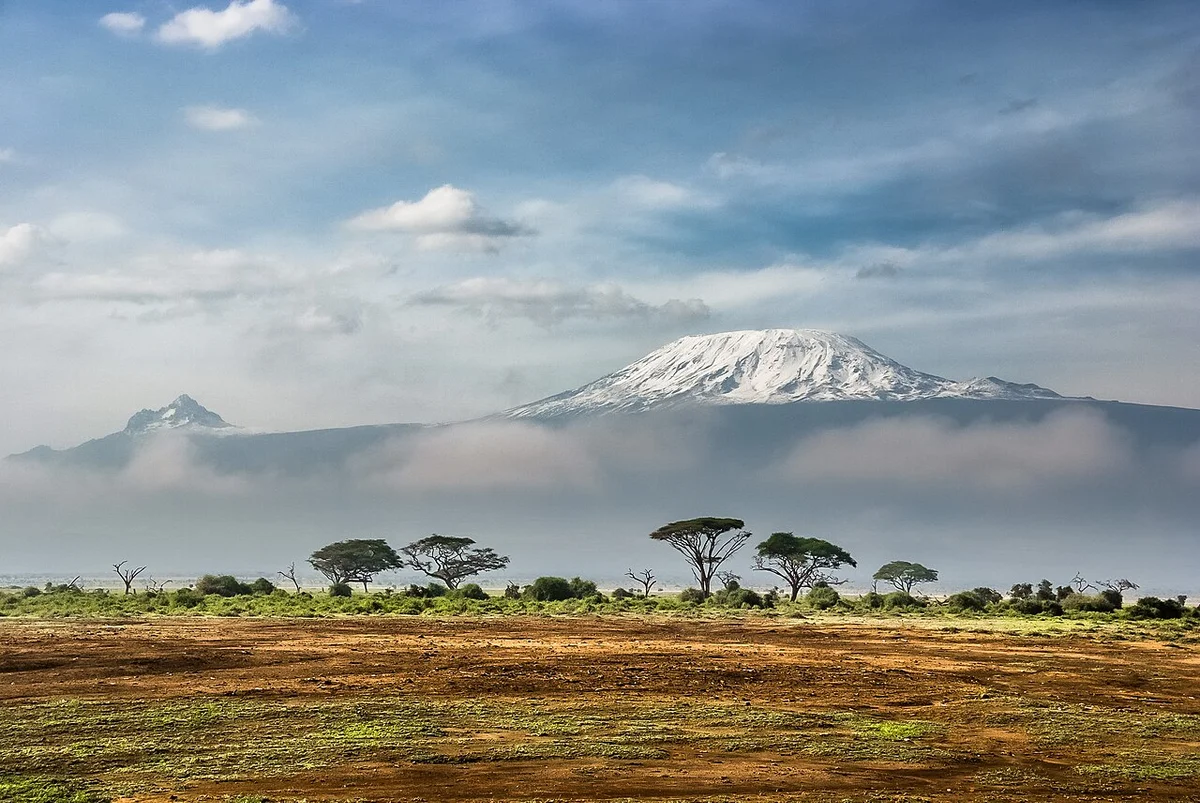

Mount Kilimanjaro
Mount Kilimanjaro is the highest mountain in Africa, the highest free-standing mountain in the world, and one of the Seven Summits, soaring to 5,895 metres (19,341 ft) above the plains of northeastern Tanzania. Consisting of three distinct volcanic cones—Kibo, Mawenzi (5,149 m), and Shira (4,005 m)—its summit at Uhuru Peak was first reached on October 6, 1889, by German geographer Hans Meyer, Austrian alpine pioneer Ludwig Purtscheller, and local Chagga mountain scout Yohani Lauwo.
Documented Expeditions on this Route (2)
Verified historical summits, siege campaigns, and pioneer attempts recorded on Kilimanjaro Marangu Route via Kibo Hut & Gilman's Point.
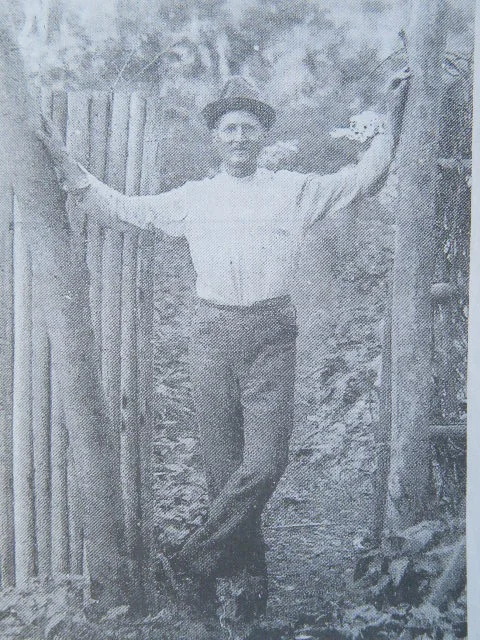
1889 Hans Meyer, Ludwig Purtscheller and Yohani Lauwo Mount Kilimanjaro Historic First Ascent Expedition
On October 6, 1889, German geographer Hans Meyer and Austrian alpine master Ludwig Purtscheller achieved the historic maiden first ascent of Mount Kilimanjaro (5,895 m), Africa's highest summit. Guided through the cloud forests and across the high volcanic saddle by Chagga scout Yohani Lauwo, Purtscheller carved hundreds of steps into the ice wall of Ratzel Glacier to breach the crater rim of Kibo and stand on the highest point in Africa.
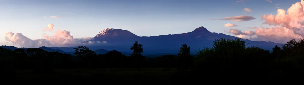
1898 Dr. Hans Meyer Mount Kilimanjaro Kibo Caldera Glaciological Survey Expedition
In the summer of 1898, Dr. Hans Meyer returned to Mount Kilimanjaro to conduct the first exhaustive glaciological and photographic survey of the Kibo caldera. Descending directly into the volcanic crater floor, Meyer mapped the Northern and Southern Icefields and recorded crucial scientific data establishing the foundational baseline for global tropical climate and glacial monitoring.
Archival Chronicles & Stories on this Route (2)
In-depth longform historical narratives, harrowing survival accounts, and firsthand alpine journals on Kilimanjaro Marangu Route via Kibo Hut & Gilman's Point.
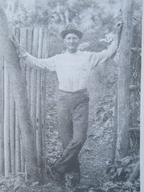
Across the Crater Ice: The 1889 First Ascent of Mount Kilimanjaro
The White Dome of Equatorial Africa...
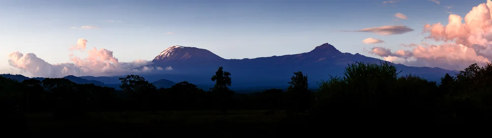
Into the Kibo Caldera: Hans Meyer's 1898 Glaciological Odyssey
The Scientist Returns to His Mountain...
Documented Sources & Archival Citations
- Across East African Glaciers: An Account of the First Ascent of Kilimanjaro(Hans Meyer / George Philip & Son)
Supporting claim: Firsthand technical route log of the 1889 first ascent
Accessed/Documented: 1891