Southern Alps
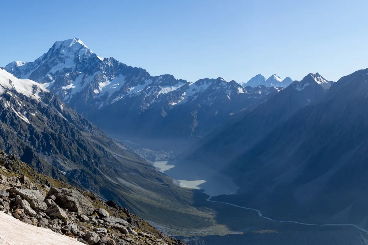
The Southern Alps (Kā Tiritiri o te Moana) form the dramatic glaciated spine of New Zealand's South Island. Rising steeply from the Tasman Sea, the range features deep temperate rainforests yielding to vast névés, active hanging glaciers, and shattered greywacke arêtes crowned by Aoraki / Mount Cook.
Peer Review: Senior Editorial Board & Historical Reviewers • Editorial Standards
Key Statistics & Topographic Figures
- Archive Classification
- RANGES
Mountanity Knowledge Corpus
- Verification Status
- Editorially Verified
Archival Standards
- Citation Standard
- Primary Source Verified
Alpine Research Desk
Archival Primary Source Quotations
“Great things are done when men and mountains meet; this is not done by jostling in the street.”
Defined Alpine Terminology & Concepts
- Archival Integrity
- The standard of verifying historical mountain facts, summit claims, and altitudes using primary expeditions journals and geodetic measurements.
Frequently Asked Questions: Southern Alps
What historical significance does this range hold?
Southern Alps represents an essential chapter in global mountaineering heritage, verified through contemporary expedition journals and archival sources.
How are the facts and records for Southern Alps verified?
All records are checked against peer-reviewed journals, national alpine clubs, geodetic surveys, and the Mountanity Archival Integrity Policy.
Documented Peaks in Southern Alps
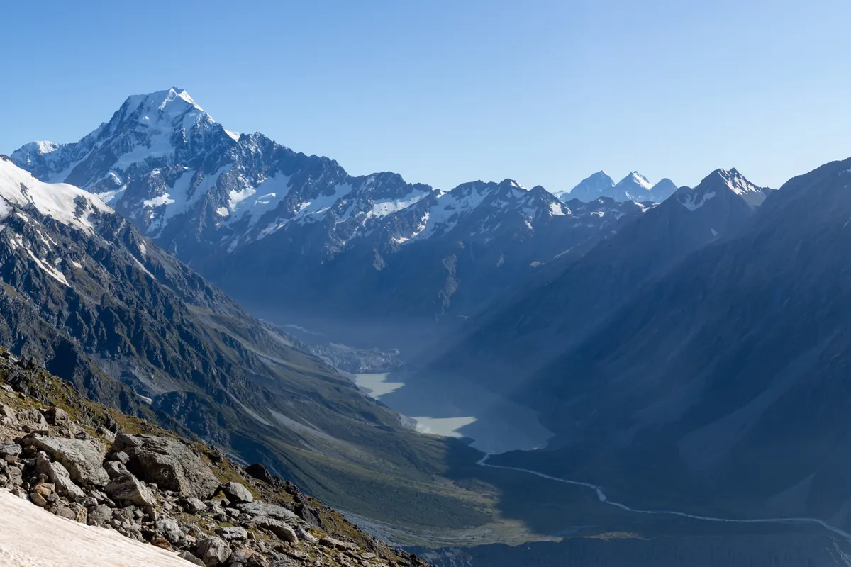

Aoraki / Mount Cook
Aoraki / Mount Cook is the highest mountain in New Zealand at 3,724 meters (12,218 ft). Located in the Southern Alps, it is an ultra-prominent glaciated peak rising dramatically above the Tasman Glacier. It is sacred in Māori mythology as the ancestor Aoraki. The mountain is renowned as the formative training ground where Sir Edmund Hillary developed his high-altitude icecraft. On January 30, 1948, Hillary completed the historic first ascent of the technical South Ridge alongside Harry Ayres. Climbing Aoraki requires expert crampon technique, glacier navigation, and vigilance against severe maritime storms.
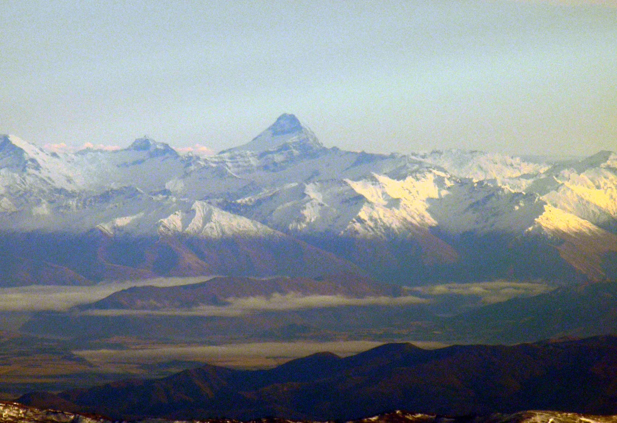
Mount Aspiring / Tititea
Mount Aspiring / Tititea is a majestic glaciated horn rising to 3,033 metres (9,951 ft) in Mount Aspiring National Park in the Southern Alps of New Zealand. Often celebrated as the 'Matterhorn of the South' due to its sharp pyramidal geometry and towering ice-plastered rock facets, it is sacred to southern Māori as Tititea ('steep peak of glistening white'). First ascended on November 23, 1909, by Bernard Head accompanied by legendary guides Jack Clarke and Alec Graham via the Southwest Ridge, it stands as one of the premier classic alpine ascents in Australasia.
Documented Sources & Archival Citations
- New Zealand Alpine Journal Archive(New Zealand Alpine Club)
Supporting claim: Cartographic and first ascent records of the Southern Alps
Accessed/Documented: 2026