Mount Aspiring / Tititea
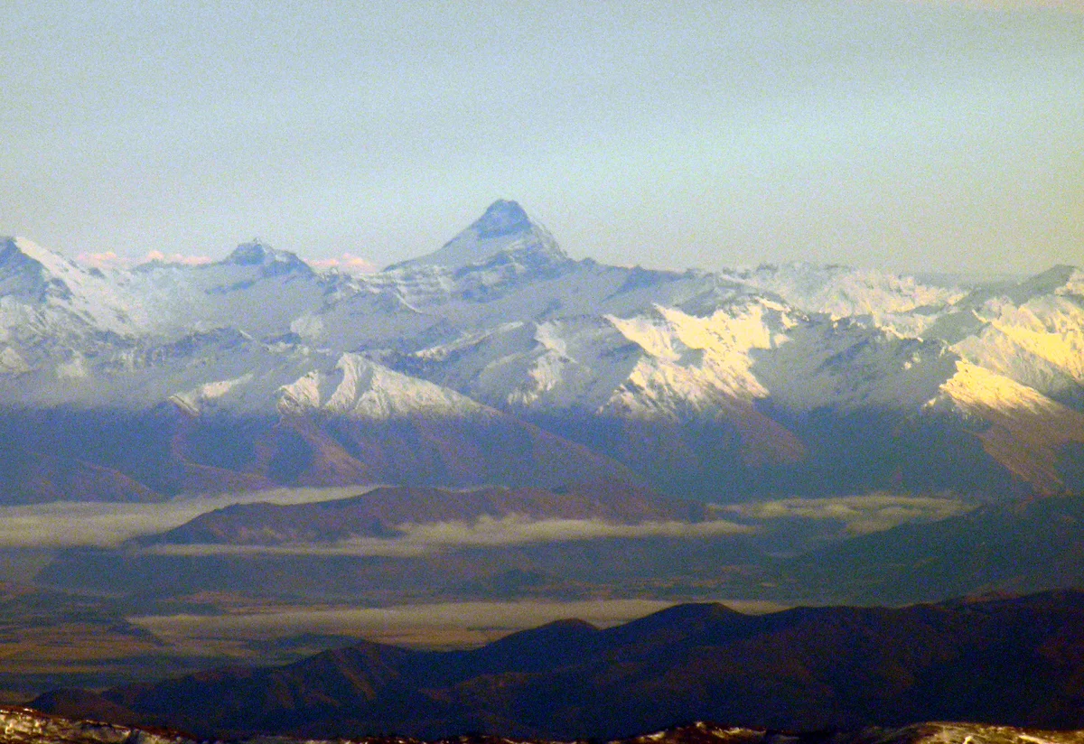
Mount Aspiring / Tititea is a majestic glaciated horn rising to 3,033 metres (9,951 ft) in Mount Aspiring National Park in the Southern Alps of New Zealand. Often celebrated as the 'Matterhorn of the South' due to its sharp pyramidal geometry and towering ice-plastered rock facets, it is sacred to southern Māori as Tititea ('steep peak of glistening white').

Mountain Safety & Conditions Disclaimer: High-altitude climbing, glacial travel, and technical ascents entail severe objective risks including avalanches, serac collapses, rapid weather collapse, and altitude illness. Historical route descriptions and summit claims on Mountanity reflect documented archival sources and must not be used as live operational safety assessments. Local regulations, permits, and physical glacial topography change continuously.
Peer Review: Senior Editorial Board & Historical Reviewers • Editorial Standards
Geographical Setting & Topography
Mount Aspiring National Park, Otago / West Coast region boundary, South Island, New Zealand.
Historic First Ascent
Date: November 23, 1909
Ascent Team: Bernard Head, Jack Clarke, and Alec Graham
Key Statistics & Topographic Figures
- Official Elevation
- 3,033 metres (9,951 ft)
- Prominence
- 2,471 metres
- First Ascent
- November 23, 1909
- Mountain Range
- Southern Alps
- National Park
- Mount Aspiring National Park
Archival Primary Source Quotations
“Aspiring stands like a sentinel at the edge of the wilderness, a glistening horn piercing the southern skies.”
Defined Alpine Terminology & Concepts
- The Ramp
- A prominent 45-degree angled snow and ice shelf leading from the Bonar Glacier to the upper Southwest Ridge of Mount Aspiring.
- Schist
- A medium-grade metamorphic rock characterized by distinct plate-like layers, forming the summit pyramid of Mount Aspiring.
Mount Aspiring / Tititea Mountain Weather Forecast
Detailed 14-Day Summit Window & Weather Timeline
Explore day-by-day summit push safety windows, wind shear analysis, and extended multi-day forecasts for Mount Aspiring / Tititea.
Explore Mount Aspiring / Tititea (3,033 m) in Interactive 3D
Inspect steep glacial walls, hanging seracs, ridge approaches, and elevation relief with 360° rotation and terrain tilt in WebGL.
Documented Climbing Routes (1)
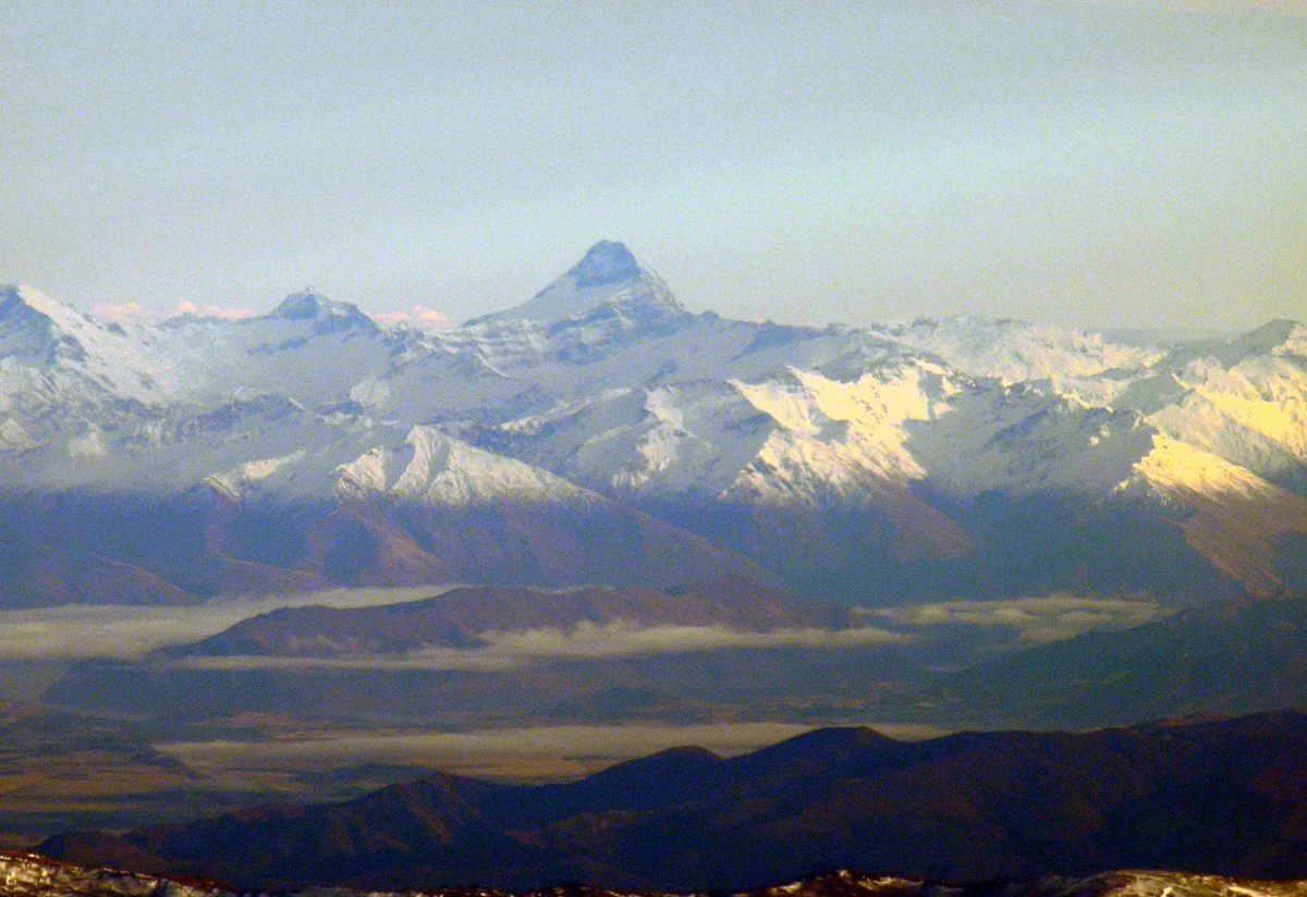
Southwest Ridge of Mount Aspiring
The Southwest Ridge is the celebrated classic normal route on Mount Aspiring / Tititea (3,033 m), the 'Matterhorn of the South'. Commencing from Colin Todd Hut, climbers traverse the upper reaches of the Bonar Glacier to gain the distinctive glaciated slope known as 'The Ramp'. Overcoming bergschrund crossings and steep hard snow or ice, the route joins the exposed rock crest of the Southwest Ridge, leading across shattered schist steps to the pristine pyramidal summit icecap. First climbed on November 23, 1909, by Bernard Head, Jack Clarke, and Alec Graham, it offers breathtaking views of Mount Cook and the Tasman Sea.
Historical Expeditions (1)
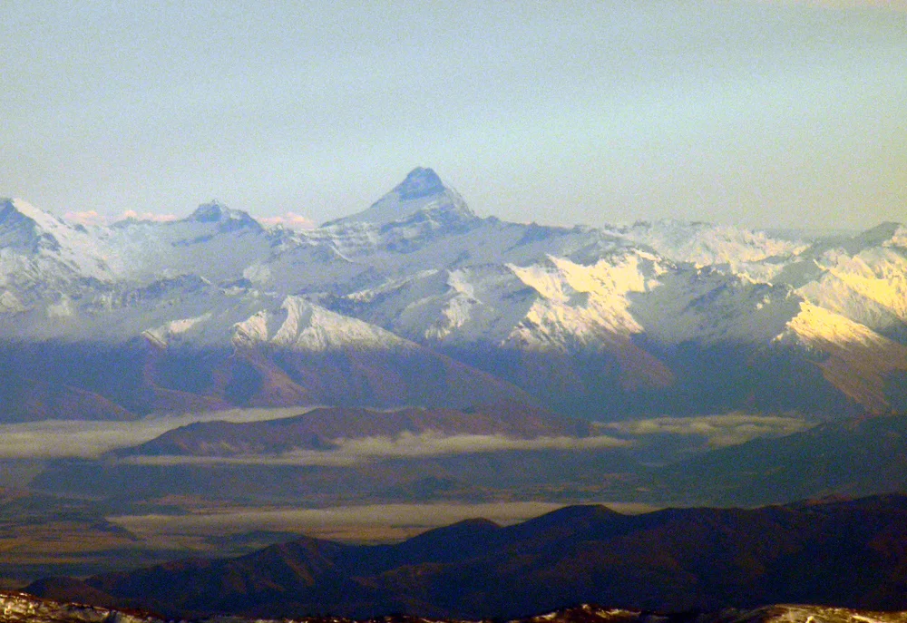
1909 Bernard Head, Jack Clarke and Alec Graham Historic First Ascent of Mount Aspiring / Tititea
On November 23, 1909, English mountaineer Bernard Head and celebrated New Zealand guides Jack Clarke and Alec Graham achieved the historic maiden first ascent of Mount Aspiring / Tititea (3,033 m). Navigating through the uncharted Matukituki Valley and the crevasse-riven Bonar Glacier, Clarke led the party up the steep ice of The Ramp and along the shattered Southwest Ridge to conquer the most beautiful peak in Australasia.
Summit Chronicles & Stories (1)
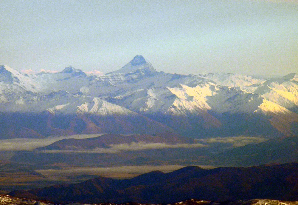
The Matterhorn of the South: The 1909 First Ascent of Mount Aspiring
Jack Clarke and Alec Graham guide Bernard Head up the icy ramparts of Tititea to claim the crown of Otago.
Frequently Asked Questions: Mount Aspiring / Tititea
What is Mount Aspiring and where is it located?
Mount Aspiring / Tititea is a glaciated pyramid rising to 3,033 metres in Mount Aspiring National Park in the Southern Alps of New Zealand.
Who made the first ascent of Mount Aspiring?
Bernard Head, Jack Clarke, and Alec Graham achieved the maiden first ascent on November 23, 1909, via the Southwest Ridge.
What is the Māori name for Mount Aspiring?
The Māori name is Tititea, translating to 'steep peak of glistening white', referencing its permanent summit ice cap.
Documented Sources & Archival Citations
- The High Peaks of New Zealand: Mount Aspiring(New Zealand Alpine Club)
Supporting claim: Official topographical survey and first ascent archival history
Accessed/Documented: 2026 - Mr Bernard Head's Ascent of Mount Aspiring(New Zealand Alpine Journal)
Supporting claim: Firsthand expedition record of the 1909 maiden ascent
Accessed/Documented: 1910