Southwest Ridge of Mount Aspiring
The Southwest Ridge is the celebrated classic normal route on Mount Aspiring / Tititea (3,033 m), the 'Matterhorn of the South'. Commencing from Colin Todd Hut, climbers traverse the upper reaches of the Bonar Glacier to gain the distinctive glaciated slope known as 'The Ramp'.
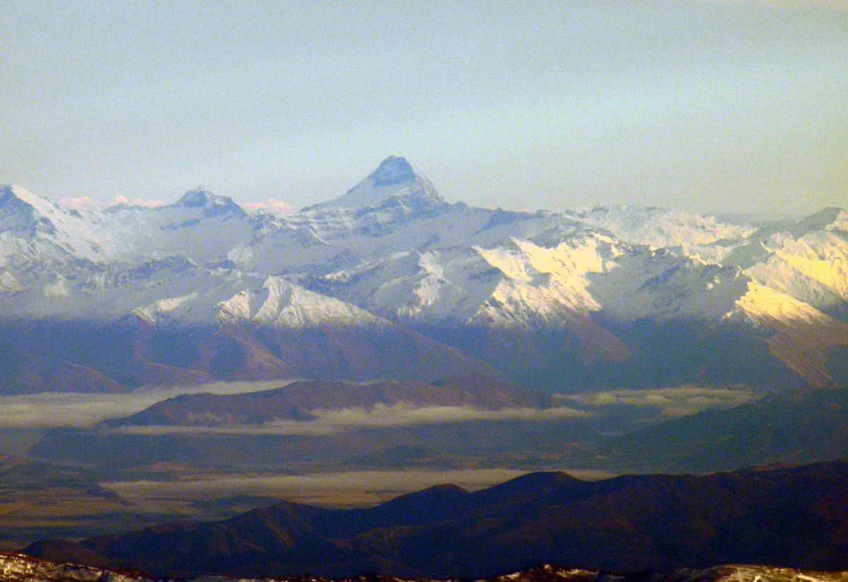
Ascent line, technical cruxes & camp topography profile for Southwest Ridge of Mount Aspiring
Mountain Safety & Conditions Disclaimer: High-altitude climbing, glacial travel, and technical ascents entail severe objective risks including avalanches, serac collapses, rapid weather collapse, and altitude illness. Historical route descriptions and summit claims on Mountanity reflect documented archival sources and must not be used as live operational safety assessments. Local regulations, permits, and physical glacial topography change continuously.
Peer Review: Senior Editorial Board & Historical Reviewers • Editorial Standards
Tactical & Camp Notes
The Ramp can become bulletproof ice late in the summer season, requiring extensive step-cutting or front-point ice screw placement. The bergschrund at the base of The Ramp may present a difficult overhang in dry years.
Identified Objective Hazards
- •Sudden sub-Antarctic storm systems bringing blizzard conditions and rapid temperature plunges within an hour
- •Open bergschrunds and hidden crevasses across the Bonar Glacier
- •Rockfall danger along the fractured schist steps of the upper Southwest Ridge
- •Steep glazed ice on The Ramp requiring meticulous crampon placement to prevent uncontrolled slips
Historical Context
First conquered on November 23, 1909, by Bernard Head accompanied by chief guide Jack Clarke and Alec Graham. Clarke expertly navigated the glacier maze and hacked steps up the icy ramp to secure the summit.
Interactive Elevation Profile
Vertical profile, technical cruxes, and camp staging progression for Southwest Ridge of Mount Aspiring on Mount Aspiring / Tititea.
Spacious base hut in the West Matukituki Valley, surrounded by alpine beech forests and glacial waterfalls.
Camp-by-Camp Topography
Key staging altitudes, technical cruxes, and terrain transitions for Southwest Ridge of Mount Aspiring.
Aspiring Hut
Spacious base hut in the West Matukituki Valley, surrounded by alpine beech forests and glacial waterfalls.
Colin Todd Hut
High alpine staging hut situated on Bevan Col overlooking the expansive snowfield of the Bonar Glacier.
The Ramp Base Bergschrund
The gaping crevasse guarding the entrance to The Ramp, demanding careful route-finding across snow bridges.
Southwest Ridge Crest
A sharp, exposed schist arête leading toward the final summit pyramid, offering superb traditional rock protection.
Tititea Summit Horn
The glistening ice cap crowning the peak, floating high above the icefalls of the Bonar and Therma Glaciers.
Topographic Location & Terrain Map
Cartographic datum, massif coordinates, and terrain context for Southwest Ridge of Mount Aspiring on Mount Aspiring / Tititea.
Interactive Topographic Terrain Map
Click below to load live cartographic contours, glacier approaches, and geographic markers for Mount Aspiring / Tititea (44°23′03″ S, 168°43′39″ E).
Key Statistics & Topographic Figures
- Route Type
- Classic Glaciated Horn Ridge & Mixed Ramp
Topography
- Technical Difficulty
- Challenging Alpine Ascent / NZ Alpine Grade 2+
NZ Grade 2+, 45° snow/ice slopes on The Ramp, UIAA II-III rock crest
- Country / Region
- New Zealand (Southern Alps / Otago)
Location
Archival Primary Source Quotations
“A mountain route is not merely a path of rock and ice; it is a test of human endurance, judgment, and humility.”
Defined Alpine Terminology & Concepts
- Crux
- The most difficult and technically demanding pitch or section of a climbing route.
- Normal Route (Voie Normale)
- The most frequently climbed, least technical, and historically standard path to a mountain summit.
Frequently Asked Questions: Southwest Ridge of Mount Aspiring
What is the climbing difficulty and grade of Southwest Ridge of Mount Aspiring?
Southwest Ridge of Mount Aspiring on mount-aspiring is graded as Challenging Alpine Ascent / NZ Alpine Grade 2+, with technical climbing requirements including NZ Grade 2+, 45° snow/ice slopes on The Ramp, UIAA II-III rock crest.
What are the primary hazards on the Southwest Ridge of Mount Aspiring?
Climbers on Southwest Ridge of Mount Aspiring must navigate severe objective hazards including Sudden sub-Antarctic storm systems bringing blizzard conditions and rapid temperature plunges within an hour, Open bergschrunds and hidden crevasses across the Bonar Glacier, Rockfall danger along the fractured schist steps of the upper Southwest Ridge, Steep glazed ice on The Ramp requiring meticulous crampon placement to prevent uncontrolled slips.
What camps are established on Southwest Ridge of Mount Aspiring?
Southwest Ridge of Mount Aspiring typically features 5 staging camps, progressing from Aspiring Hut (460m) up toward the summit.
Mountain Ascended
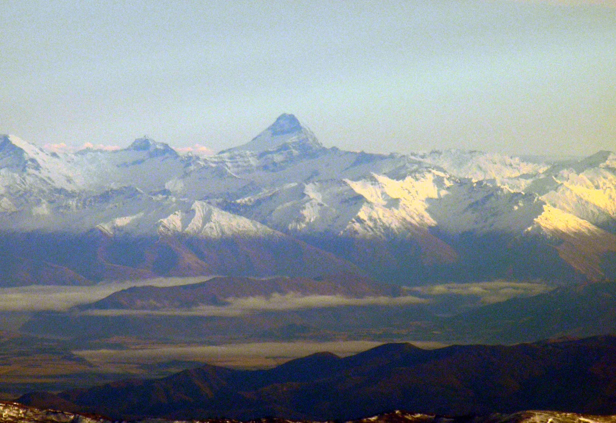

Mount Aspiring / Tititea
Mount Aspiring / Tititea is a majestic glaciated horn rising to 3,033 metres (9,951 ft) in Mount Aspiring National Park in the Southern Alps of New Zealand. Often celebrated as the 'Matterhorn of the South' due to its sharp pyramidal geometry and towering ice-plastered rock facets, it is sacred to southern Māori as Tititea ('steep peak of glistening white'). First ascended on November 23, 1909, by Bernard Head accompanied by legendary guides Jack Clarke and Alec Graham via the Southwest Ridge, it stands as one of the premier classic alpine ascents in Australasia.
Documented Expeditions on this Route (1)
Verified historical summits, siege campaigns, and pioneer attempts recorded on Southwest Ridge of Mount Aspiring.
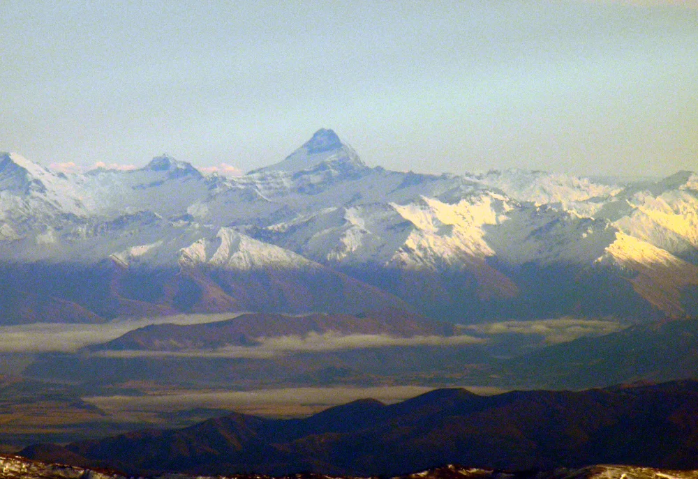
1909 Bernard Head, Jack Clarke and Alec Graham Historic First Ascent of Mount Aspiring / Tititea
On November 23, 1909, English mountaineer Bernard Head and celebrated New Zealand guides Jack Clarke and Alec Graham achieved the historic maiden first ascent of Mount Aspiring / Tititea (3,033 m). Navigating through the uncharted Matukituki Valley and the crevasse-riven Bonar Glacier, Clarke led the party up the steep ice of The Ramp and along the shattered Southwest Ridge to conquer the most beautiful peak in Australasia.
Archival Chronicles & Stories on this Route (1)
In-depth longform historical narratives, harrowing survival accounts, and firsthand alpine journals on Southwest Ridge of Mount Aspiring.
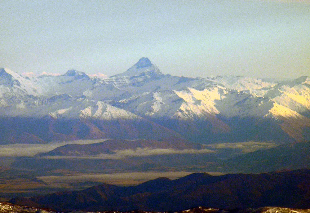
The Matterhorn of the South: The 1909 First Ascent of Mount Aspiring
Jack Clarke and Alec Graham guide Bernard Head up the icy ramparts of Tititea to claim the crown of Otago.
Documented Sources & Archival Citations
- First Ascent of Mount Aspiring(Bernard Head / New Zealand Alpine Journal)
Supporting claim: Primary official chronicle of the 1909 first ascent
Accessed/Documented: 1910 - Mount Aspiring: The Romantic Mountain(Hugh Logan / Craig Potton Publishing)
Supporting claim: Comprehensive historical and route survey of Mount Aspiring
Accessed/Documented: 1987