Ferrari Route (Alpamayo Southwest Face)
The Ferrari Route on the Southwest Face of Nevado Alpamayo is one of the most celebrated ice climbs in the world. Ascending 450 vertical metres of fluted, 60° to 80° glacial ice runnels directly beneath towering summit cornices, it is a masterclass in steep Andean ice climbing.
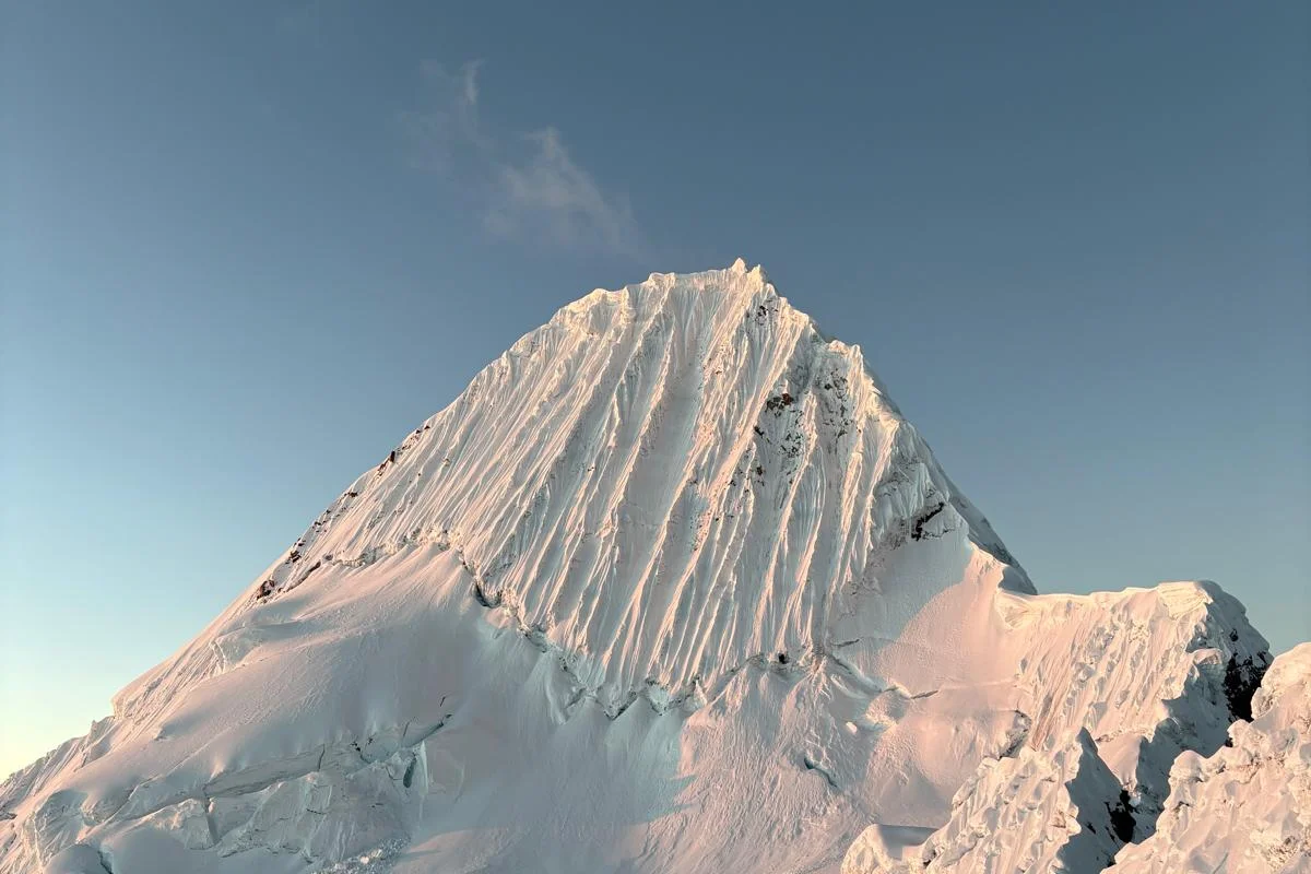
Ascent line, technical cruxes & camp topography profile for Ferrari Route (Alpamayo Southwest Face)
Mountain Safety & Conditions Disclaimer: High-altitude climbing, glacial travel, and technical ascents entail severe objective risks including avalanches, serac collapses, rapid weather collapse, and altitude illness. Historical route descriptions and summit claims on Mountanity reflect documented archival sources and must not be used as live operational safety assessments. Local regulations, permits, and physical glacial topography change continuously.
Peer Review: Senior Editorial Board & Historical Reviewers • Editorial Standards
Tactical & Camp Notes
First ascended on June 23, 1975, by an Italian expedition from the Ragni di Lecco led by Casimiro Ferrari with Danilo Borgonovo, Angelo Zoia, and Pinuccio Castelnuovo. Climbers must negotiate the gaping bergschrund before ascending sustained ice pitches to breach the overhanging summit ridge cornice.
Interactive Elevation Profile
Vertical profile, technical cruxes, and camp staging progression for Ferrari Route (Alpamayo Southwest Face) on Alpamayo.
Starting village at the mouth of Quebrada Santa Cruz for donkey teams and trek.
Camp-by-Camp Topography
Key staging altitudes, technical cruxes, and terrain transitions for Ferrari Route (Alpamayo Southwest Face).
Cashapampa Trailhead
Starting village at the mouth of Quebrada Santa Cruz for donkey teams and trek.
Alpamayo Base Camp
Meadow campsite in the upper Santa Cruz valley beneath the Arhuaycocha lateral moraine.
High Moraine Camp
Rocky bivouac terrace perched at the edge of the glacier tongue.
High Col Camp (Campamento Alpamayo)
Glacial saddle camp between Alpamayo and Quitaraju, staging base for the Southwest Face.
Summit of Alpamayo
Razor-thin snow arête crowning the fluted Southwest Face.
Topographic Location & Terrain Map
Cartographic datum, massif coordinates, and terrain context for Ferrari Route (Alpamayo Southwest Face) on Alpamayo.
Interactive Topographic Terrain Map
Click below to load live cartographic contours, glacier approaches, and geographic markers for Alpamayo (8°52′44″ S, 77°39′13″ W).
Key Statistics & Topographic Figures
- Technical Grade
- French D+ / TD- (AI4, 60°-80°)
- Face Vertical Height
- 450 vertical metres
- Pitch Count
- 6 to 8 technical pitches
- Summit Elevation
- 5,947 metres (19,511 feet)
- First Ascent Date
- June 23, 1975
Archival Primary Source Quotations
“The flutings of Alpamayo are steep, pure, and unforgiving. Every swing of the axe resonates through the crystalline heart of the mountain.”
Defined Alpine Terminology & Concepts
- Abalakov Thread (V-Thread)
- A rappel anchor formed by drilling two intersecting holes in solid ice with an ice screw to thread a climbing cord without leaving hardware.
- Water Ice (Alpine Ice)
- Dense, hard ice formed by the refreezing of melted snow, providing solid placements for modern tubular ice screws.
Frequently Asked Questions: Ferrari Route (Alpamayo Southwest Face)
What is the Ferrari Route on Nevado Alpamayo?
The Ferrari Route is an iconic 450-metre steep ice route on the fluted Southwest Face of Alpamayo, widely regarded as a world-class alpine testpiece.
Who first climbed the Ferrari Route on Alpamayo?
Casimiro Ferrari, Danilo Borgonovo, Angelo Zoia, and Pinuccio Castelnuovo of the Italian Ragni di Lecco made the first ascent on June 23, 1975.
What is the climbing grade of the Ferrari Route on Alpamayo?
The route is graded D+ to TD- with technical ice up to alpine ice grade four (AI4) and slopes ranging from 60 to 80 degrees.
How long is the technical climb on the Southwest Face of Alpamayo?
The face consists of approximately six to eight technical 60-metre pitches of sustained steep ice climbing above a cavernous bergschrund.
What is the crux section of the Ferrari Route?
The final pitch breaching the overhanging rime-ice summit cornice, which requires delicate axe placements and careful tunneling through fragile snow.
Where is the high camp located for the Ferrari Route on Alpamayo?
High Camp (Campamento Alpamayo) is pitched on the glaciated col at 5,400 metres between Nevado Alpamayo and Nevado Quitaraju.
What descent method is used on the Ferrari Route?
Climbers descend the route by making multiple rappels using Abalakov V-thread ice anchors drilled directly into the solid ice flutings.
What is the best time of year to climb the Ferrari Route on Alpamayo?
The dry Andean winter season from June through August offers stable weather, cold nights, and optimal, firm ice conditions in the runnels.
Mountain Ascended
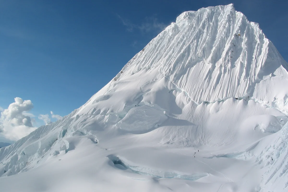

Alpamayo
Alpamayo is an extraordinary 5,947-metre pyramid of ice and snow situated in the northern Cordillera Blanca of Peru. Globally celebrated as the World's Most Beautiful Mountain, its sheer Southwest Face is carved with steep fluted ice runnels that form one of the premier alpine ice climbs on Earth.
Documented Expeditions on this Route (1)
Verified historical summits, siege campaigns, and pioneer attempts recorded on Ferrari Route (Alpamayo Southwest Face).
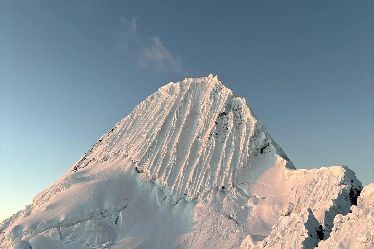
1975 First Ascent of the Southwest Face of Alpamayo (Ferrari Route)
On June 23, 1975, Casimiro Ferrari led an Italian expedition from the Ragni di Lecco to complete the first ascent of the steep, fluted Southwest Face of Alpamayo, establishing one of the most famous ice routes on Earth.
Archival Chronicles & Stories on this Route (1)
In-depth longform historical narratives, harrowing survival accounts, and firsthand alpine journals on Ferrari Route (Alpamayo Southwest Face).
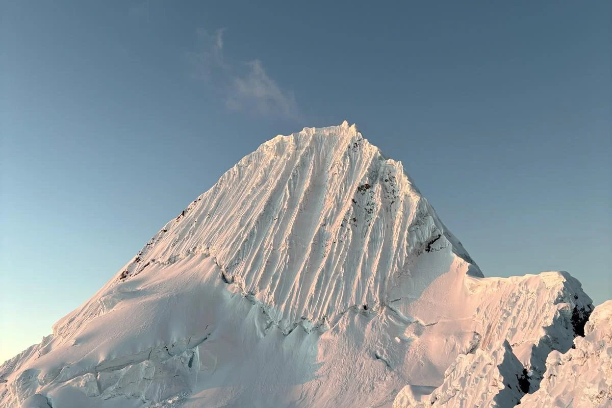
The Crystal Flutings: Casimiro Ferrari and the 1975 Alpamayo Masterpiece
On June 23, 1975, Casimiro Ferrari and the Ragni di Lecco scaled the 450-metre vertical ice runnels of Alpamayo's Southwest Face, creating the legendary Ferrari Route on the world's most beautiful mountain.
Documented Sources & Archival Citations
- American Alpine Journal: Alpamayo Southwest Face (1976)(American Alpine Club)
Supporting claim: Official expedition journal of the 1975 Italian Ragni di Lecco first ascent
Accessed/Documented: 2026 - The Andes: A Guide for Climbers(John Biggar / Andes Publishing)
Supporting claim: Detailed technical topographic description of the Ferrari and French Direct routes
Accessed/Documented: 2026