Southwest Ridge of Ama Dablam (Normal Route)
The Southwest Ridge is the iconic classic route on Ama Dablam and one of the finest technical ridge ascents in the Himalayas. First climbed on January 15, 1961, by Sir Edmund Hillary's Silver Hut Expedition team, the route climbs soaring granite towers, knife-edge snow flutings, and steep ice beneath the hanging Dablam glacier.
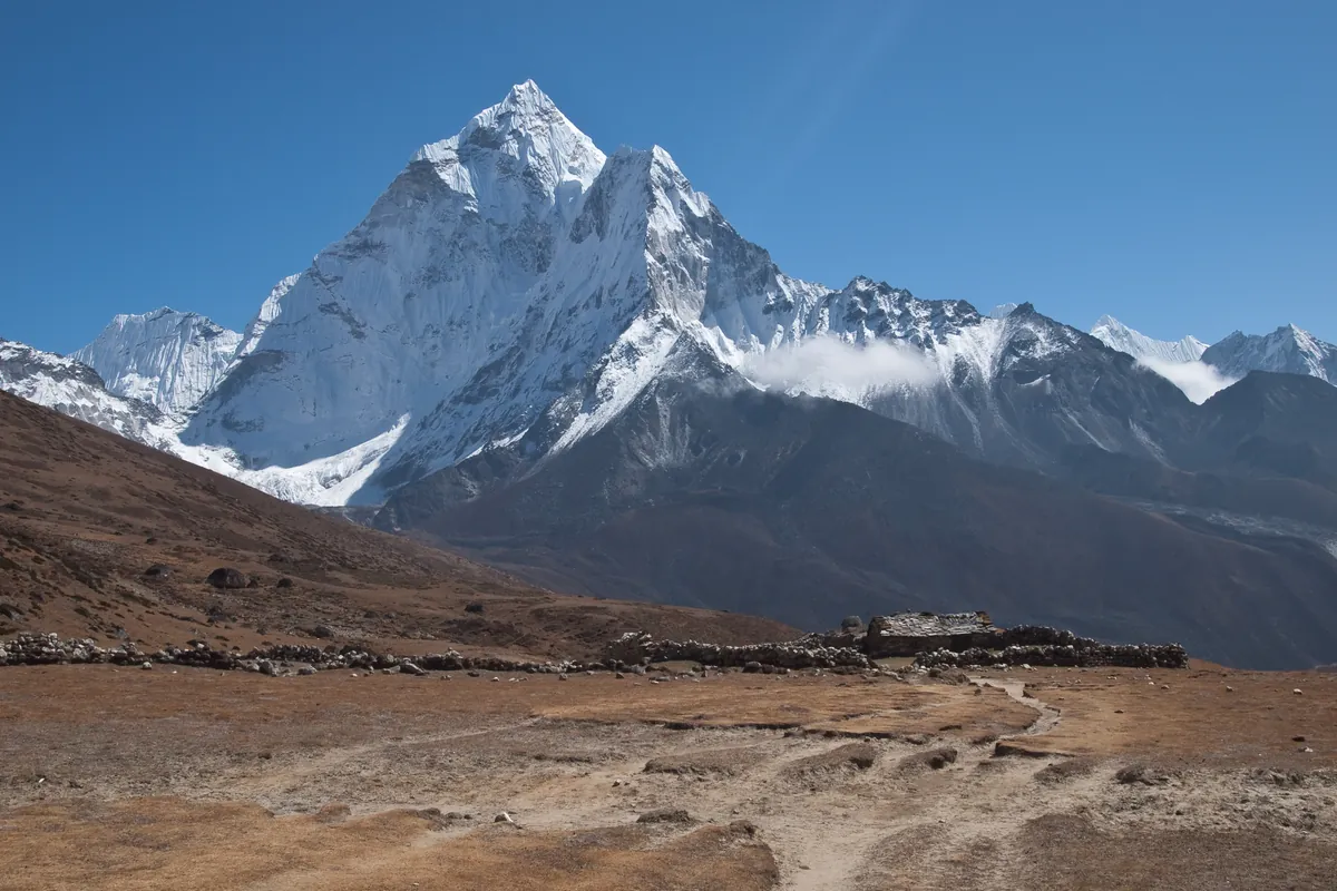
Ascent line, technical cruxes & camp topography profile for Southwest Ridge of Ama Dablam (Normal Route)
Mountain Safety & Conditions Disclaimer: High-altitude climbing, glacial travel, and technical ascents entail severe objective risks including avalanches, serac collapses, rapid weather collapse, and altitude illness. Historical route descriptions and summit claims on Mountanity reflect documented archival sources and must not be used as live operational safety assessments. Local regulations, permits, and physical glacial topography change continuously.
Peer Review: Senior Editorial Board & Historical Reviewers • Editorial Standards
Tactical & Camp Notes
Nearly all parties fix lines due to extreme exposure. The hanging Dablam glacier above Camp 3 must be monitored for serac collapse risks.
Identified Objective Hazards
- •Severe objective risk from ice collapse of the hanging Dablam serac above Camp III
- •Extreme exposure and vertical drops of over 1,500 meters along the narrow ridge crest
- •Sustained sub-zero temperatures and high-altitude winds freezing ropes and gear
- •Technical exhaustion and acute altitude illness above 6,000 meters
Historical Context
First completed on January 15, 1961, by Mike Gill, Barry Bishop, Michael Ward, and Wally Romanes during the Silver Hut Expedition conceived and led by Sir Edmund Hillary.
Interactive Elevation Profile
Vertical profile, technical cruxes, and camp staging progression for Southwest Ridge of Ama Dablam (Normal Route) on Ama Dablam.
Situated on lush yak pastures below the southwest face, offering full logistics, solar power, and medical support.
Camp-by-Camp Topography
Key staging altitudes, technical cruxes, and terrain transitions for Southwest Ridge of Ama Dablam (Normal Route).
Base Camp
Situated on lush yak pastures below the southwest face, offering full logistics, solar power, and medical support.
Yak Camp / ABC
Located at the foot of the boulder moraine ridge, serving as gear staging for load carries to Camp I.
Camp I
Perched on a narrow rock ledge on the ridge crest, providing spectacular views and the start of technical roped climbing.
The Yellow Tower Crux
A 15-meter near-vertical headwall of clean golden granite requiring technical 5.7 moves in crampons and heavy mittens.
Camp II
An audacious, world-famous bivouac perched on a razor-thin rock pinnacle with vertical drops into the valley on both sides.
The Mushroom Ridge
A precarious, fluted snow arête with massive overhanging cornices, demanding perfect balance and calm nerves.
Camp III
Pitched on a flat snow shelf beneath the towering hanging Dablam serac, used for resting before the final summit push.
Ama Dablam Summit
A sharp, pristine snow crest offering sweeping 360-degree panoramas of Everest, Lhotse, Makalu, and Cho Oyu.
Topographic Location & Terrain Map
Cartographic datum, massif coordinates, and terrain context for Southwest Ridge of Ama Dablam (Normal Route) on Ama Dablam.
Interactive Topographic Terrain Map
Click below to load live cartographic contours, glacier approaches, and geographic markers for Ama Dablam (27°51′40″ N, 86°51′40″ E).
Key Statistics & Topographic Figures
- Route Type
- Standard / Technical Mixed Ridge
Topography
- Technical Difficulty
- Highly Technical / French TD, UIAA V+, WI4
French TD, sustained UIAA V+ rock (5.7), WI4 ice, 55° snow
- Country / Region
- Nepal (Khumbu / Mahalangur Himal)
Location
Archival Primary Source Quotations
“A mountain route is not merely a path of rock and ice; it is a test of human endurance, judgment, and humility.”
Defined Alpine Terminology & Concepts
- Crux
- The most difficult and technically demanding pitch or section of a climbing route.
- Normal Route (Voie Normale)
- The most frequently climbed, least technical, and historically standard path to a mountain summit.
Frequently Asked Questions: Southwest Ridge of Ama Dablam (Normal Route)
What is the climbing difficulty and grade of Southwest Ridge of Ama Dablam (Normal Route)?
Southwest Ridge of Ama Dablam (Normal Route) on ama-dablam is graded as Highly Technical / French TD, UIAA V+, WI4, with technical climbing requirements including French TD, sustained UIAA V+ rock (5.7), WI4 ice, 55° snow.
What are the primary hazards on the Southwest Ridge of Ama Dablam (Normal Route)?
Climbers on Southwest Ridge of Ama Dablam (Normal Route) must navigate severe objective hazards including Severe objective risk from ice collapse of the hanging Dablam serac above Camp III, Extreme exposure and vertical drops of over 1,500 meters along the narrow ridge crest, Sustained sub-zero temperatures and high-altitude winds freezing ropes and gear, Technical exhaustion and acute altitude illness above 6,000 meters.
What camps are established on Southwest Ridge of Ama Dablam (Normal Route)?
Southwest Ridge of Ama Dablam (Normal Route) typically features 8 staging camps, progressing from Base Camp (4600m) up toward the summit.
Mountain Ascended

Ama Dablam
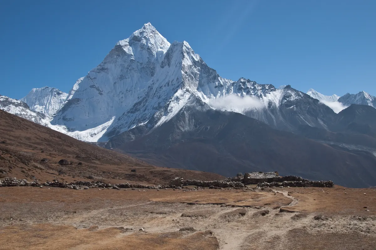
Ama Dablam is an iconic 6,812-meter (22,349 ft) mountain in the eastern Himalayan region of Nepal. Renowned worldwide for its soaring granite ridges and hanging glaciers, it is often called the Matterhorn of the Himalayas. Its name translates as 'Mother's Necklace', referring to the hanging serac resembling a traditional Sherpa pendant. Sir Edmund Hillary conceived and led the 1960–1961 Silver Hut Expedition that unlocked the mountain. On January 15, 1961, Hillary's assault team achieved the historic first ascent via the Southwest Ridge. It remains one of the most aesthetic and technically demanding alpine ascents in the world.
Documented Expeditions on this Route (1)
Verified historical summits, siege campaigns, and pioneer attempts recorded on Southwest Ridge of Ama Dablam (Normal Route).
1961 Hillary Silver Hut Ama Dablam Expedition
Organized under Sir Edmund Hillary's legendary 1960-61 Silver Hut Scientific Expedition, team members forged the historic first ascent of Ama Dablam (6,812m) via the Southwest Ridge on March 13, 1961.
Archival Chronicles & Stories on this Route (1)
In-depth longform historical narratives, harrowing survival accounts, and firsthand alpine journals on Southwest Ridge of Ama Dablam (Normal Route).
1961 Ama Dablam: The Silver Hut Himalayan First Ascent
How Sir Edmund Hillary's Silver Hut team made the historic first ascent of Ama Dablam's Southwest Ridge in March 1961.
Documented Sources & Archival Citations
- Himalayan Scientific and Mountaineering Expedition 1960-61(Alpine Journal / Michael Ward)
Supporting claim: Official route dispatch and first ascent chronicle of Ama Dablam Southwest Ridge
Accessed/Documented: 1961 - High in the Thin Cold Air(Edmund Hillary and Desmond Doig / Doubleday)
Supporting claim: Personal narrative of establishing the Silver Hut and pioneering Ama Dablam
Accessed/Documented: 1962