Huascarán Norte Peck Route
The Peck Route on Huascarán Norte marks the historic first ascent of Peru's second-highest peak. Established in September 1908 by suffragist pioneer Annie Smith Peck with Swiss guides Gabriel Zumtaugwald and Rudolf Taugwalder, the route ascends the heavily broken northwestern glacier and steep snow couloirs to attain the north summit at 6,655 metres.
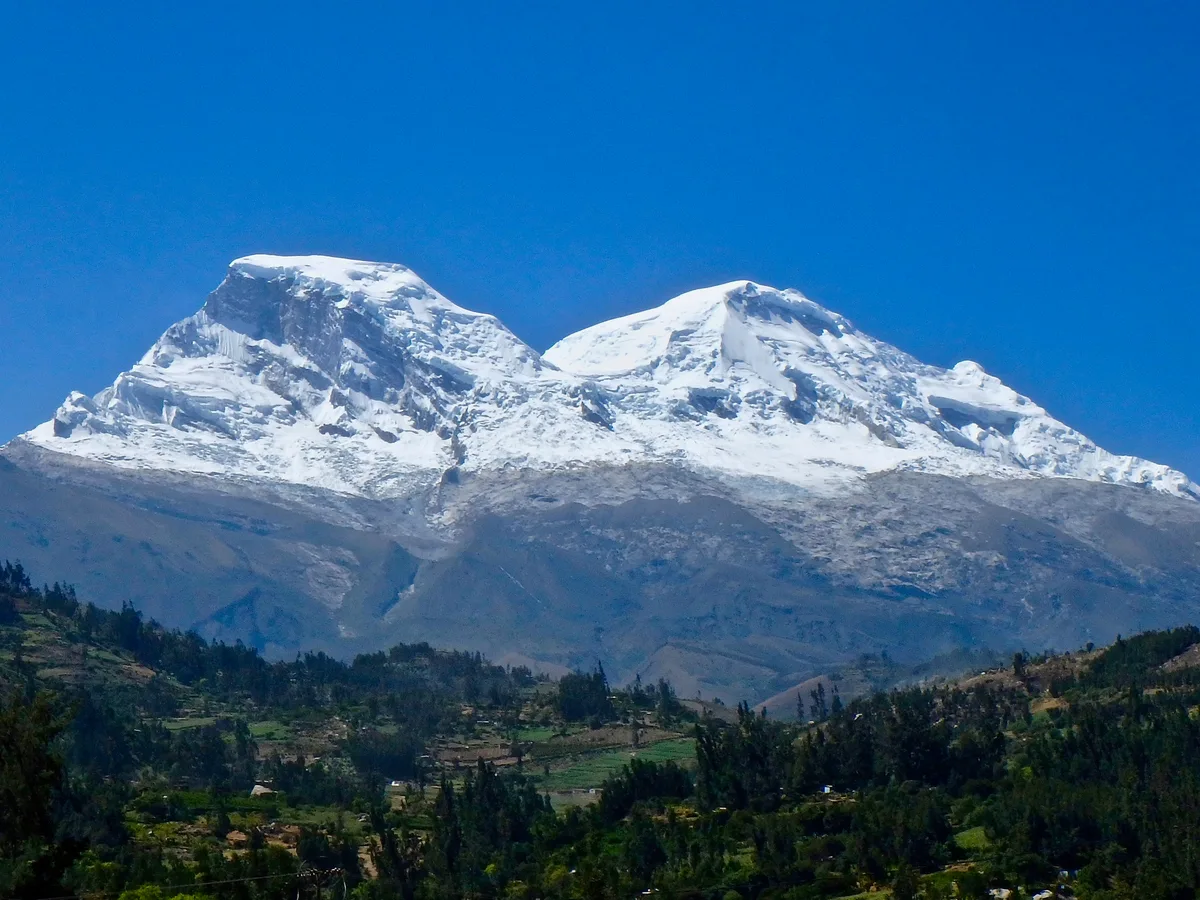
Ascent line, technical cruxes & camp topography profile for Huascarán Norte Peck Route
Mountain Safety & Conditions Disclaimer: High-altitude climbing, glacial travel, and technical ascents entail severe objective risks including avalanches, serac collapses, rapid weather collapse, and altitude illness. Historical route descriptions and summit claims on Mountanity reflect documented archival sources and must not be used as live operational safety assessments. Local regulations, permits, and physical glacial topography change continuously.
Peer Review: Senior Editorial Board & Historical Reviewers • Editorial Standards
Tactical & Camp Notes
Initiated from the Santa Valley near Yungay, the historic 1908 line pushed up the northwest quebradas toward the glaciated hanging wall. Negotiating thousands of hand-cut steps in bare glacial ice, Peck and her Zermatt guides bypassed deep crevasses, unstable ice towers, and treacherous snow bridges to breach the northern saddle before battling howling winds along the final windswept summit crest.
Interactive Elevation Profile
Vertical profile, technical cruxes, and camp staging progression for Huascarán Norte Peck Route on Huascarán Norte.
Staging area above the village where porters and pack mules assembled.
Camp-by-Camp Topography
Key staging altitudes, technical cruxes, and terrain transitions for Huascarán Norte Peck Route.
Yungay Foothills Camp
Staging area above the village where porters and pack mules assembled.
Snowline Bivouac
Perilous tent site on rocks just beneath the heavily fractured glacier front.
Upper Serac High Bivouac
Freezing high bivouac on snow platform sheltered behind a towering ice serac.
Huascarán Norte Summit
Glaciated northern apex overlooking the Garganta and the Cordillera Blanca.
Topographic Location & Terrain Map
Cartographic datum, massif coordinates, and terrain context for Huascarán Norte Peck Route on Huascarán Norte.
Interactive Topographic Terrain Map
Click below to load live cartographic contours, glacier approaches, and geographic markers for Huascarán Norte (9°05′47″ S, 77°36′32″ W).
Key Statistics & Topographic Figures
- Route Grade
- AD+ (55° Ice & Historical Step-Cutting)
- Summit Elevation
- 6,655 m (21,834 ft)
- First Ascent Date
- September 2, 1908
- First Ascent Team
- Annie Smith Peck, Gabriel Zumtaugwald, Rudolf Taugwalder
- Highest Bivouac
- 5,900 m in upper serac basin
Archival Primary Source Quotations
“Step by step, through the frozen blue maze, we proved that courage knows no distinction of gender.”
Defined Alpine Terminology & Concepts
- Step Cutting
- The traditional technique of using the adze or pick of an ice axe to chisel secure footholds and handholds into hard alpine ice.
- Hanging Glacier
- A glacier perched steeply on a mountain cliff face whose snout periodically calves ice avalanches into the valley below.
Frequently Asked Questions: Huascarán Norte Peck Route
What is the Huascarán Norte Peck Route?
The Peck Route is the historic 1908 line established by Annie Smith Peck and Swiss guides up the northwest glaciers to the north summit (6,655 m).
What grade is assigned to the historic Peck Route?
The route is graded AD+ with 55-degree ice pitches, heavily broken glacier crevasses, and serious objective avalanche hazards.
How did Peck and her guides overcome the steep blue ice in 1908?
Guide Gabriel Zumtaugwald cut thousands of individual steps in hard glacial ice by hand using a heavy wooden ice axe.
Where was the highest bivouac placed during the 1908 ascent?
The team endured a sub-zero bivouac at 5,900 metres on an icy snow shelf sheltered behind an overhanging serac.
Mountain Ascended
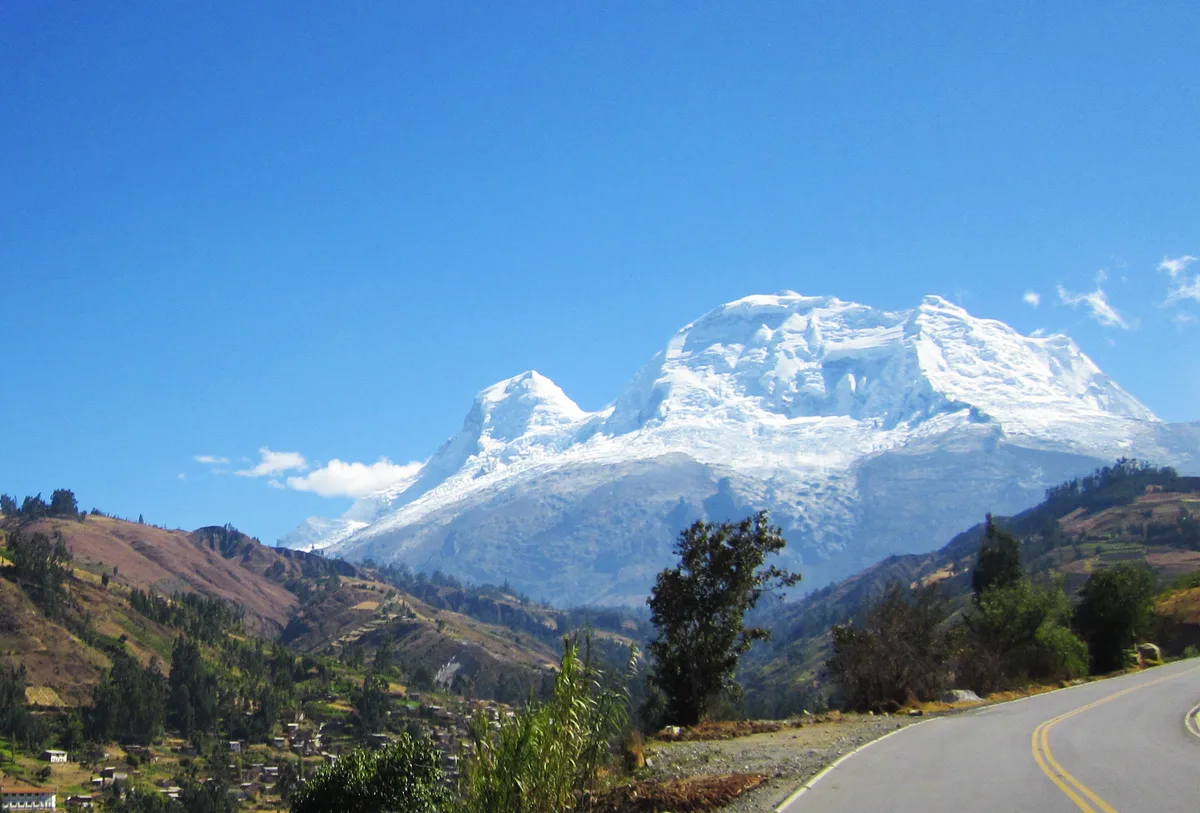

Huascarán Norte
Huascarán Norte is the northern summit of Peru's highest mountain massif, rising to 6,655 metres in the Cordillera Blanca. It was first climbed in September 1908 by pioneering American suffragist Annie Smith Peck alongside Swiss guides Gabriel Zumtaugwald and Rudolf Taugwalder. The peak features steep ice aprons and towering seracs connected to Huascarán Sur via the Garganta col.
Documented Expeditions on this Route (1)
Verified historical summits, siege campaigns, and pioneer attempts recorded on Huascarán Norte Peck Route.
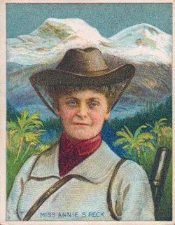
1908 Annie Smith Peck Huascarán Norte Historic First Ascent
In September 1908, 57-year-old American suffragist Annie Smith Peck achieved the daring first ascent of Huascarán Norte (6,655 m) with Swiss guides Gabriel Zumtaugwald and Rudolf Taugwalder. Overcoming treacherous seracs, bitter blizzards, and severe frostbite, Peck set an altitude record for American climbers while unfurling a banner for women's voting rights.
Archival Chronicles & Stories on this Route (1)
In-depth longform historical narratives, harrowing survival accounts, and firsthand alpine journals on Huascarán Norte Peck Route.
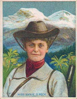
Queen of the Climbers: Annie Smith Peck's 1908 Conquest of Huascarán Norte
In September 1908, 57-year-old scholar and suffragist Annie Smith Peck defied Victorian society, ferocious Andean blizzards, and shattering icefalls to achieve the first ascent of Huascarán Norte.
Documented Sources & Archival Citations
- A Search for the Apex of America(Annie Smith Peck / Dodd, Mead and Company)
Supporting claim: Detailed description of the northwest route and difficulties overcome during the 1908 climb
Accessed/Documented: 2026 - The American Alpine Journal: Annie Smith Peck Retrospective(American Alpine Club)
Supporting claim: Historical evaluation and route mapping of the 1908 north peak ascent
Accessed/Documented: 2026